Salcombe Hill

Hill, Mountain in Devon East Devon

England

Salcombe Hill

Wall of Sidmouth's Victorian Jail (The Old Jail) A short stretch of wall with two windows with iron bars; all that remains of the jail; the blue plaque is at <a href="https://www.geograph.org.uk/photo/7692555">SY1287 : Blue plaque on wall of Sidmouth's Victorian jail</a>
Wall of Sidmouth's Victorian Jail (The Old Jail) Credit: David Smith

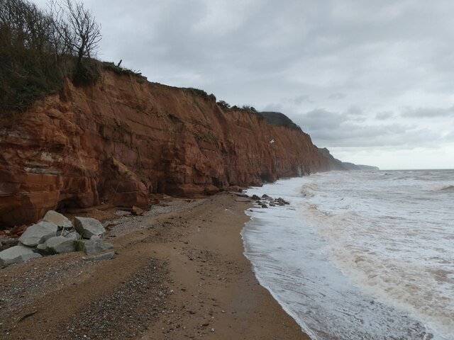
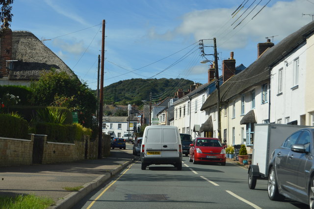
Salcombe Hill is a prominent landmark located near the coastal town of Sidmouth in Devon, England. Standing at an elevation of 156 meters (512 feet), it is often referred to as a hill rather than a mountain due to its relatively modest height. Despite this, it offers stunning panoramic views of the surrounding countryside and the Jurassic Coast, a UNESCO World Heritage Site.

The hill is composed of a mixture of chalk and greensand, resulting in a diverse range of habitats that support a variety of plant and animal species. It is part of the East Devon Area of Outstanding Natural Beauty, and its slopes are covered in a patchwork of woodland, grassland, and scrub, providing a home to numerous birds, butterflies, and wildflowers.

At the summit of Salcombe Hill sits a trig point, a concrete pillar used in surveying, which acts as a navigational aid and offers an excellent vantage point for taking in the breathtaking scenery. On a clear day, visitors can enjoy breathtaking vistas of the dramatic coastline, with views stretching from Exmouth in the west to the famous limestone arch of Ladram Bay in the east.

Salcombe Hill is a popular destination for outdoor enthusiasts, offering a network of footpaths and bridleways that crisscross its slopes. These paths provide opportunities for hiking, trail running, and horse riding, allowing visitors to explore the natural beauty of the area.

Overall, Salcombe Hill is a picturesque and accessible location that offers both locals and tourists a chance to appreciate the stunning landscapes of Devon's coast and countryside.

If you have any feedback on the listing, please let us know in the comments section below.

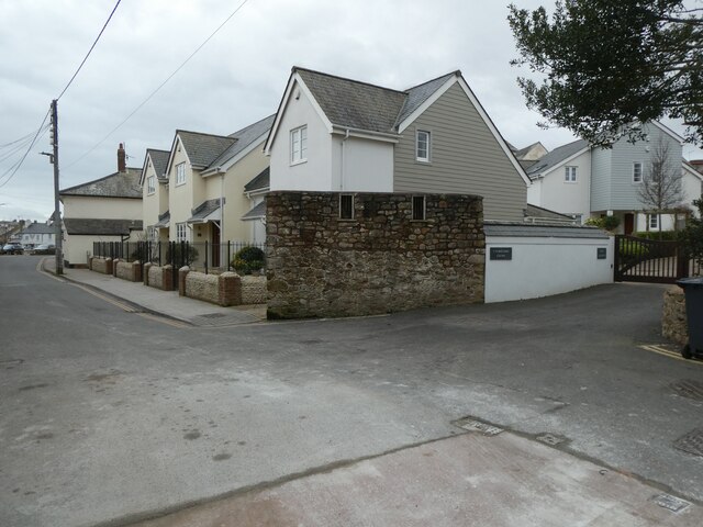
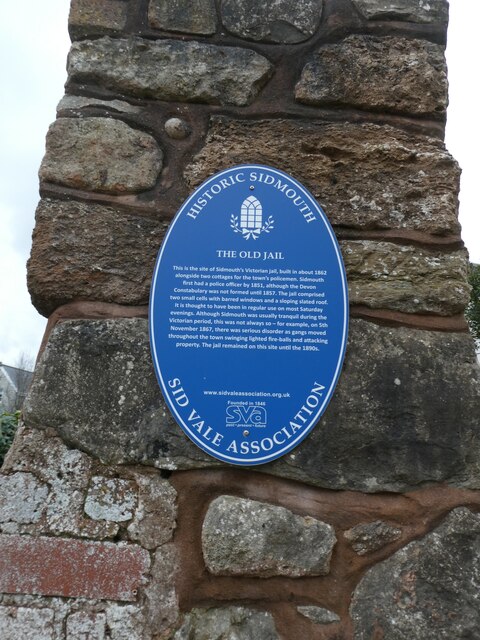
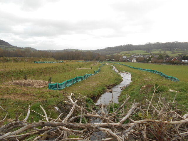
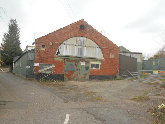
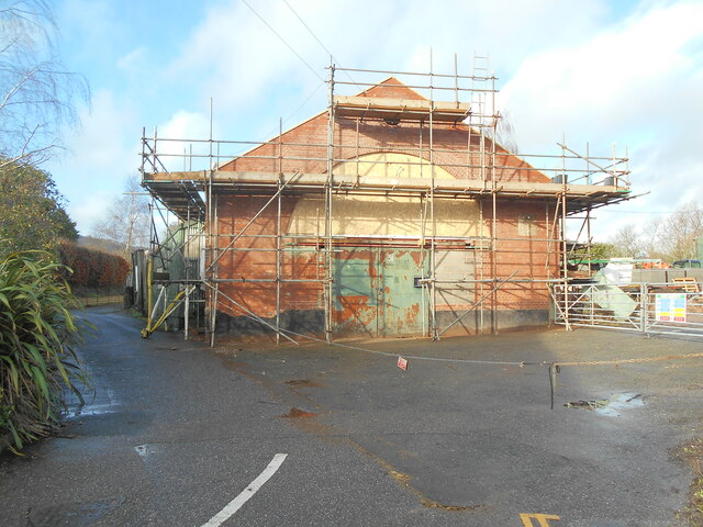
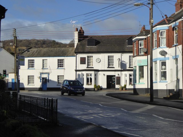
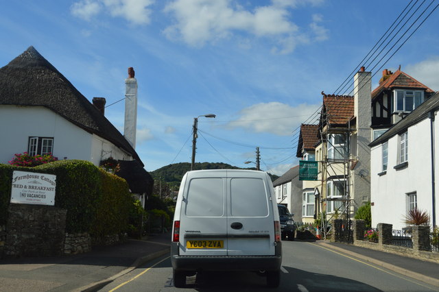
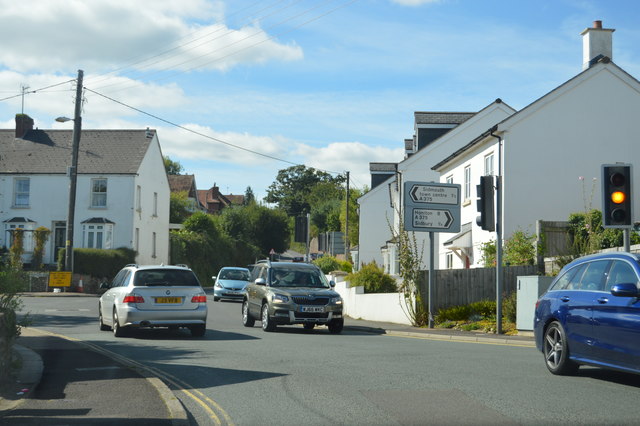
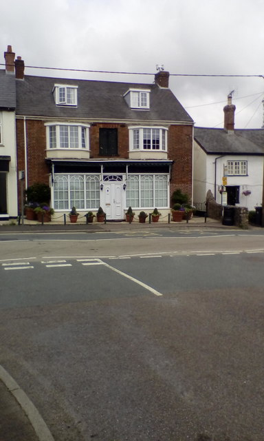
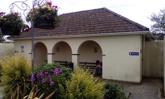
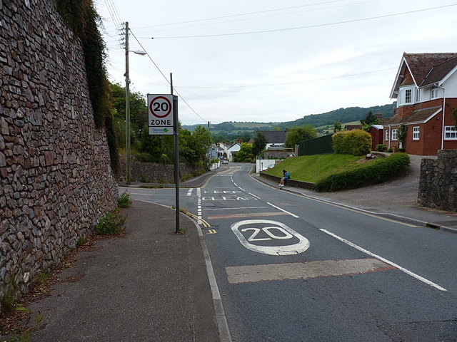
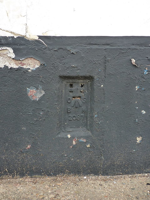
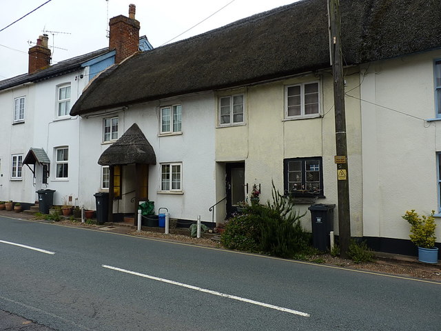
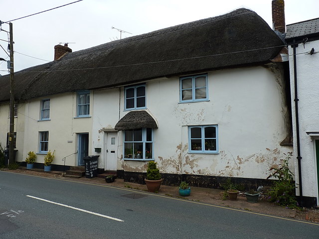
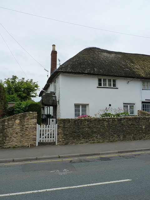
Salcombe Hill Images

Images are sourced within 2km of 50.689539/-3.2151317 or Grid Reference SY1488. Thanks to Geograph Open Source API. All images are credited.

Wall of Sidmouth's Victorian Jail (The Old Jail) A short stretch of wall with two windows with iron bars; all that remains of the jail; the blue plaque is at <a href="https://www.geograph.org.uk/photo/7692555">SY1287 : Blue plaque on wall of Sidmouth's Victorian jail</a>
Wall of Sidmouth's Victorian Jail (The Old Jail)
A short stretch of wall with two windows with iron bars; all that remains of the jail; the blue plaque is at SY1287 : Blue plaque on wall of Sidmouth's Victorian jail
Blue plaque on wall of Sidmouth's Victorian jail The side wall (all that remains) is at <a href="https://www.geograph.org.uk/photo/7692552">SY1287 : Wall of Sidmouth's Victorian Jail (The Old Jail)</a>
Blue plaque on wall of Sidmouth's Victorian jail
The side wall (all that remains) is at SY1287 : Wall of Sidmouth's Victorian Jail (The Old Jail)
Stormy sea, cliffs and cliff falls, east of Sidmouth
The Snodbrook at Sidford Running into the River Sid.
The brook crosses what is shortly to become an industrial estate.
The Snodbrook at Sidford
Running into the River Sid. The brook crosses what is shortly to become an industrial estate.
Sidford laundry Now derelict and closed down awaiting redevelopment.
this building was at one time used to dry sails from the local sailing club.
Sidford laundry
Now derelict and closed down awaiting redevelopment. this building was at one time used to dry sails from the local sailing club.
10 Months on Rather than as many locals suspected, the old laundry building appears to be taking on a new lease of life.
10 Months on
Rather than as many locals suspected, the old laundry building appears to be taking on a new lease of life.
The Rising Sun inn, Sidford The inn is at the crossroads in the centre of the village
The Rising Sun inn, Sidford
The inn is at the crossroads in the centre of the village
A3052, Sidford The A3052 Road runs 27 miles from Charnmouth to Clyst St Mary. It runs parallel to the East Devon coastline, but inland.
<span class="nowrap"><a title="http://www.sabre-roads.org.uk/wiki/index.php?title=A3052" rel="nofollow ugc noopener" href="http://www.sabre-roads.org.uk/wiki/index.php?title=A3052">Link</a><img style="margin-left:2px;" alt="External link" title="External link - shift click to open in new window" src="https://s1.geograph.org.uk/img/external.png" width="10" height="10"/></span>
A3052, Sidford
The A3052 Road runs 27 miles from Charnmouth to Clyst St Mary. It runs parallel to the East Devon coastline, but inland. LinkExternal link
Church St, Sidford The A3052 Road runs 27 miles from Charnmouth to Clyst St Mary. It runs parallel to the East Devon coastline, but inland.
<span class="nowrap"><a title="http://www.sabre-roads.org.uk/wiki/index.php?title=A3052" rel="nofollow ugc noopener" href="http://www.sabre-roads.org.uk/wiki/index.php?title=A3052">Link</a><img style="margin-left:2px;" alt="External link" title="External link - shift click to open in new window" src="https://s1.geograph.org.uk/img/external.png" width="10" height="10"/></span>
Church St, Sidford
The A3052 Road runs 27 miles from Charnmouth to Clyst St Mary. It runs parallel to the East Devon coastline, but inland. LinkExternal link
Sidford The A3052 Road runs 27 miles from Charnmouth to Clyst St Mary. It runs parallel to the East Devon coastline, but inland.
<span class="nowrap"><a title="http://www.sabre-roads.org.uk/wiki/index.php?title=A3052" rel="nofollow ugc noopener" href="http://www.sabre-roads.org.uk/wiki/index.php?title=A3052">Link</a><img style="margin-left:2px;" alt="External link" title="External link - shift click to open in new window" src="https://s1.geograph.org.uk/img/external.png" width="10" height="10"/></span>
Sidford
The A3052 Road runs 27 miles from Charnmouth to Clyst St Mary. It runs parallel to the East Devon coastline, but inland. LinkExternal link
OS benchmark - Sidford, Kelso An OS cutmark on the wall of house called 'Kelso' on Fry's Lane; originally levelled, probably in 1967, at 52.1m above Ordnance Datum Newlyn.
OS benchmark - Sidford, Kelso
An OS cutmark on the wall of house called 'Kelso' on Fry's Lane; originally levelled, probably in 1967, at 52.1m above Ordnance Datum Newlyn.
House (former business?) in Sidford The recess above the front door and the style of the windows suggest that this was a shop or business
House (former business?) in Sidford
The recess above the front door and the style of the windows suggest that this was a shop or business
Public toilets with sheltered benches, Sidford
Sidford's High Street The main road coming into Sidford from the west, at the junction with Fry's Lane.
Sidford's High Street
The main road coming into Sidford from the west, at the junction with Fry's Lane.
OS Flush Bracket - Sidford Flush Bracket 2087 in the wall of 'Cornerways', and originally installed during the Second Geodetic Levelling surveys, in early 1917, when it was levelled at 139ft 4in above Ordnance Datum Newlyn.
OS Flush Bracket - Sidford
Flush Bracket 2087 in the wall of 'Cornerways', and originally installed during the Second Geodetic Levelling surveys, in early 1917, when it was levelled at 139ft 4in above Ordnance Datum Newlyn.
Listed cottages on Church Street in Sidford These two are one half of the group collectively listed at <span class="nowrap"><a title="https://www.britishlistedbuildings.co.uk/101097989-hillside-viewrosemary-cottagest-anthonysthe-cottage-sidmouth#.WXsjXoQrKM9," rel="nofollow ugc noopener" href="https://www.britishlistedbuildings.co.uk/101097989-hillside-viewrosemary-cottagest-anthonysthe-cottage-sidmouth#.WXsjXoQrKM9,">Link</a><img style="margin-left:2px;" alt="External link" title="External link - shift click to open in new window" src="https://s1.geograph.org.uk/img/external.png" width="10" height="10"/></span> which are described as "A row of 4 18th C or early 19th C cottages" The others lie to their right, and are seen in <a href="https://www.geograph.org.uk/photo/5478278">SY1390 : Listed cottages on Church Street in Sidford</a>
Listed cottages on Church Street in Sidford
These two are one half of the group collectively listed at LinkExternal link which are described as "A row of 4 18th C or early 19th C cottages" The others lie to their right, and are seen in SY1390 : Listed cottages on Church Street in Sidford
Listed cottages on Church Street in Sidford These two properties form the other half of the pair seen in <a href="https://www.geograph.org.uk/photo/5478275">SY1390 : Listed cottages on Church Street in Sidford</a>, and collectively given a Grade II listing <span class="nowrap"><a title="https://www.britishlistedbuildings.co.uk/101097989-hillside-viewrosemary-cottagest-anthonysthe-cottage-sidmouth#.WXslqYQrKM8" rel="nofollow ugc noopener" href="https://www.britishlistedbuildings.co.uk/101097989-hillside-viewrosemary-cottagest-anthonysthe-cottage-sidmouth#.WXslqYQrKM8">Link</a><img style="margin-left:2px;" alt="External link" title="External link - shift click to open in new window" src="https://s1.geograph.org.uk/img/external.png" width="10" height="10"/></span> in 1973.
Listed cottages on Church Street in Sidford
These two properties form the other half of the pair seen in SY1390 : Listed cottages on Church Street in Sidford, and collectively given a Grade II listing LinkExternal link in 1973.
4, Porch Cottages, Church Street House no 4 of the group known collectively as 'Porch Cottages' and given a Grade II listing <span class="nowrap"><a title="https://www.britishlistedbuildings.co.uk/101213014-porch-cottages-sidmouth#.WXs4sYQrKM8" rel="nofollow ugc noopener" href="https://www.britishlistedbuildings.co.uk/101213014-porch-cottages-sidmouth#.WXs4sYQrKM8">Link</a><img style="margin-left:2px;" alt="External link" title="External link - shift click to open in new window" src="https://s1.geograph.org.uk/img/external.png" width="10" height="10"/></span> in 1951. The whole row was originally a single house, and dates from 1574, but has been subdivided in the meantime. The other properties are at <a href="https://www.geograph.org.uk/photo/5478306">SY1390 : 3, Porch Cottages, Church Street</a> and <a href="https://www.geograph.org.uk/photo/5478314">SY1390 : 1 & 2, Porch Cottages, Church Street</a>
4, Porch Cottages, Church Street
House no 4 of the group known collectively as 'Porch Cottages' and given a Grade II listing LinkExternal link in 1951. The whole row was originally a single house, and dates from 1574, but has been subdivided in the meantime. The other properties are at SY1390 : 3, Porch Cottages, Church Street and SY1390 : 1 & 2, Porch Cottages, Church Street
Show me another place!

Salcombe Hill is located at Grid Ref: SY1488 (Lat: 50.689539, Lng: -3.2151317)

Administrative County: Devon

District: East Devon

Police Authority: Devon and Cornwall

What 3 Words

///indeed.crown.degree. Near Sidmouth, Devon

Related Wikis

Norman Lockyer Observatory

The Norman Lockyer Observatory, the Lockyer Technology Centre, and the Planetarium (jointly NLO), is a public access optical observatory 1 mile (1.6 km...

Salcombe Regis

Salcombe Regis is a coastal village and former civil parish, now in the parish of Sidmouth, in the East Devon district, in the county of Devon, England...

River Sid

The River Sid, situated in East Devon, is often claimed to be the shortest complete river in England. It flows for 6.5 miles (10.5 km) southwards from...

Sidmouth College

Sidmouth College is a coeducational secondary school and sixth form, located in Sidmouth in the English county of Devon. The school attracts pupils from...

Nearby Amenities

Located within 500m of 50.689539,-3.2151317
Barrier: kissing_gate
Lat/Long: 50.6858044/-3.2150713
Barrier: kissing_gate
Lat/Long: 50.6907774/-3.2089872
Barrier: kissing_gate
Lat/Long: 50.6889561/-3.2093568
Barrier: kissing_gate
Lat/Long: 50.6872665/-3.209753
Barrier: kissing_gate
Lat/Long: 50.686493/-3.209957
War Memorial
Historic: memorial
Memorial: war_memorial
Lat/Long: 50.6917202/-3.2115344
Source: survey
Tourism: sundial
Lat/Long: 50.6877994/-3.219979
Parking
Parking: surface
Lat/Long: 50.6898625/-3.2145974
Salcombe Hill
Place: locality
Lat/Long: 50.689248/-3.2168651
Information: guidepost
Tourism: information
Lat/Long: 50.6872978/-3.2148406
Tourism: picnic_site
Lat/Long: 50.6879607/-3.2200266
Power: pole
Source: bing
Transformer: distribution
Lat/Long: 50.6885048/-3.2209025
Power: pole
Source: bing
Lat/Long: 50.6909271/-3.2194287
Power: pole
Source: bing
Lat/Long: 50.6915422/-3.2193442
Power: pole
Source: bing
Lat/Long: 50.6927393/-3.2192463
Fire Hydrant
Emergency: fire_hydrant
Fire Hydrant Type: underground
Survey Date: 2023-04-07
Lat/Long: 50.6918349/-3.2107985
Waste Basket
Survey Date: 2023-04-07
Waste: dog_excrement
Lat/Long: 50.6903522/-3.2139557
The data included in this document is from www.openstreetmap.org. The data is made available under ODbL.

Have you been to Salcombe Hill?

Leave your review of Salcombe Hill below (or comments, questions and feedback).