Saintbridge
Settlement in Gloucestershire Gloucester
England
Saintbridge

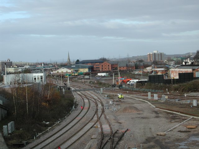
Saintbridge is a small suburb located in the county of Gloucestershire, England. Situated on the eastern outskirts of the city of Gloucester, it is bordered by the River Severn to the east and Hucclecote to the north. The area is primarily residential, with a mix of housing types including detached, semi-detached, and terraced houses.
Originally a rural area, Saintbridge underwent significant development in the mid-20th century, leading to the construction of numerous housing estates. This expansion was accompanied by the establishment of several amenities and services, such as schools, shops, and a community center, making it a self-sufficient neighborhood.
One notable feature of Saintbridge is its proximity to the picturesque Saintbridge Pond, a small body of water that attracts wildlife and serves as a focal point for leisure activities. The pond is surrounded by green spaces, providing residents with opportunities for walks, picnics, and relaxation.
Transportation links in Saintbridge are well-developed, with several bus routes connecting the area to the city center and nearby towns. The suburb also benefits from easy access to major road networks, including the A40 and M5 motorway.
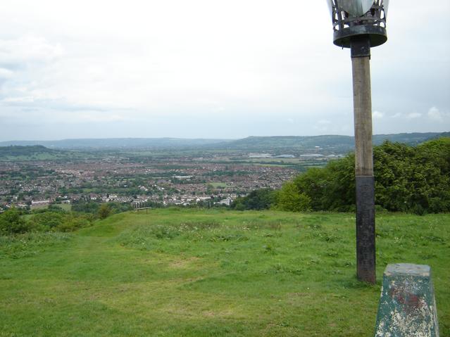
While Saintbridge may be considered a quiet residential area, its location offers residents the advantage of being close to Gloucester's amenities and attractions. Additionally, the beautiful countryside surrounding the suburb provides opportunities for outdoor activities such as hiking, cycling, and exploring the nearby Cotswolds Area of Outstanding Natural Beauty.
If you have any feedback on the listing, please let us know in the comments section below.
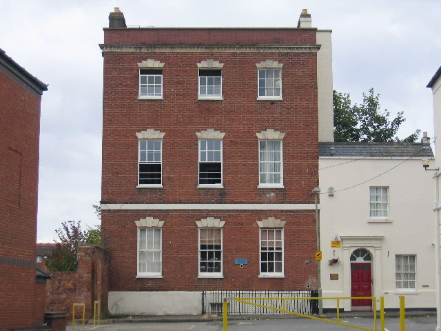
Saintbridge Images
Images are sourced within 2km of 51.848286/-2.221068 or Grid Reference SO8416. Thanks to Geograph Open Source API. All images are credited.


Saintbridge is located at Grid Ref: SO8416 (Lat: 51.848286, Lng: -2.221068)
Administrative County: Gloucestershire
District: Gloucester
Police Authority: Gloucestershire
What 3 Words
///gossip.result.decay. Near Barnwood, Gloucestershire
Nearby Locations
Related Wikis

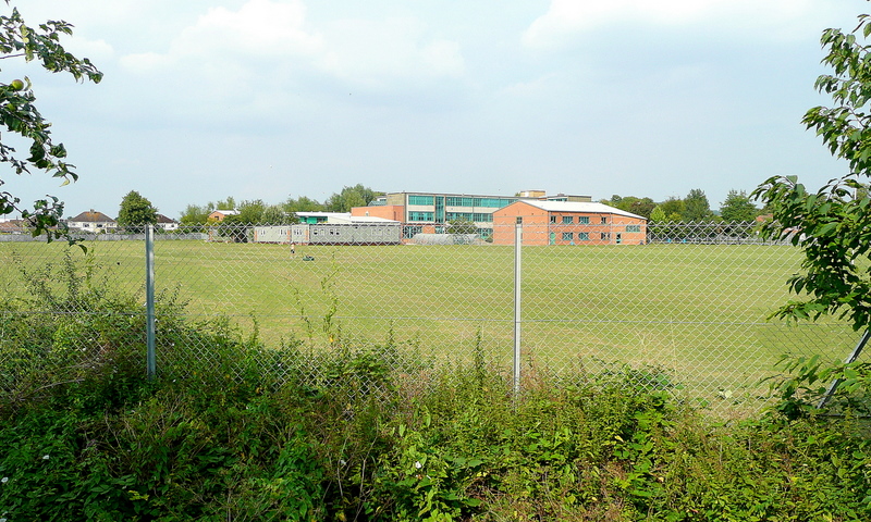
Gloucester Academy
Gloucester Academy, was formed as a merger of Bishop's College, a mixed CofE school and Central Technology College, a boys school, starting life on the...
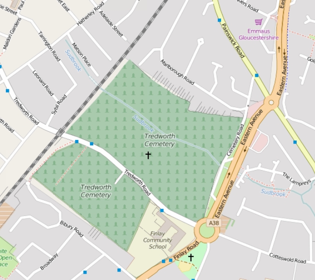
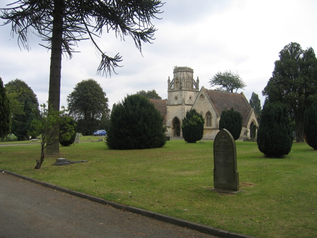
Tredworth Road Cemetery
Tredworth Road Cemetery, sometimes known as Gloucester Old Cemetery, is a cemetery in Gloucester, England, that is run by Gloucester City Council. In addition...

Coney Hill Hospital
Coney Hill Hospital (also known as Second Gloucestershire County Asylum) was a mental health facility in Gloucester, England. == History == The hospital...
White City, Gloucester
White City is an estate in the City of Gloucester. It takes its name from the original white concrete houses.Following World War I, there was a national...
Barnwood Park School
Barnwood Park School is a coeducational secondary school located in the Barnwood area of Gloucester in the English county of Gloucestershire.It was originally...
Barton and Tredworth
Barton and Tredworth is an area of Gloucester, England that lies just outside the Eastgate of the city and has a population of 10,953 at the 2011 Census...
Barton Street, Gloucester
Barton Street is a street in the Barton and Tredworth district of Gloucester that is the location of a number of listed buildings: Church of all Saints...
Ribston Hall High School
Ribston Hall High School is a selective grammar school with academy status in Gloucester, England, for girls between the ages of 11 and 18. It was founded...
Nearby Amenities
Located within 500m of 51.848286,-2.221068Have you been to Saintbridge?
Leave your review of Saintbridge below (or comments, questions and feedback).