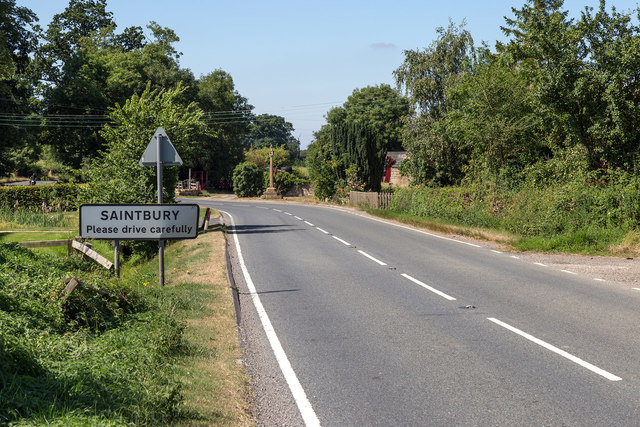
Saintbury

Settlement in Gloucestershire Cotswold

England

Saintbury

Towards Willersey A view from the footpath across the fields towards Willersey.  The tower of the church of St Peter is just right of centre of the image and the Cotswold escarpment is seen in the distance.
Towards Willersey Credit: Michael Dibb

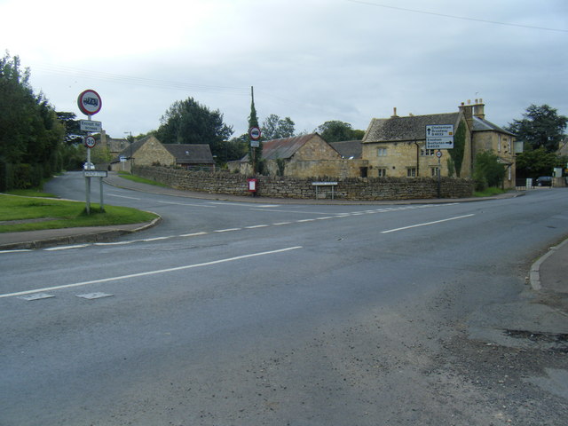
Saintbury is a picturesque village located in the county of Gloucestershire, England. Situated atop a hill in the Cotswolds, it offers breathtaking views of the surrounding countryside. With a population of approximately 300 residents, it is a small and close-knit community.

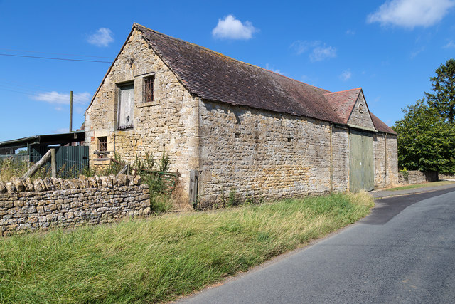
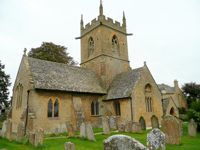
The village is known for its quintessential English charm, with its traditional stone houses and well-preserved historic buildings. Saintbury is home to the beautiful Saintbury Church, a Grade II listed building dating back to the 12th century. The church's architecture showcases a mix of Norman and Gothic styles, making it an architectural gem.

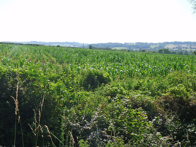
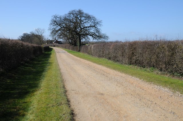
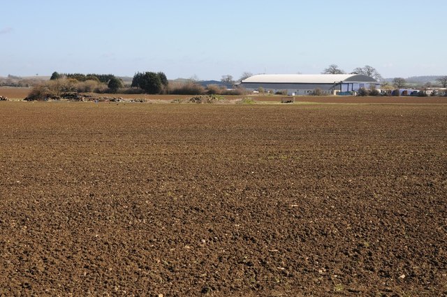
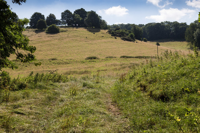
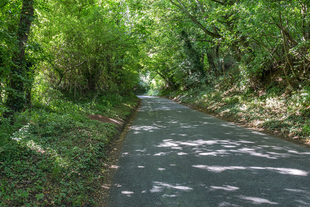
Surrounded by rolling hills and lush green fields, Saintbury offers ample opportunities for outdoor activities and walks in the countryside. The village is also well-known for its vineyards, with several award-winning wineries in the area. Local vineyards produce a variety of wines, particularly renowned for their sparkling varieties.

Saintbury is conveniently located near the market town of Broadway, which offers a range of amenities including shops, restaurants, and pubs. The village is also within easy reach of Cheltenham and Stratford-upon-Avon, providing residents with access to a wider range of services and cultural attractions.

The community in Saintbury is lively and active, with various events and activities organized throughout the year. These include the annual village fete, which brings together locals and visitors for a day of entertainment and celebration.

Overall, Saintbury is a picturesque and idyllic village that offers a tranquil and charming setting for its residents and visitors to enjoy. Its natural beauty, historic architecture, and strong community spirit make it a truly special place in Gloucestershire.

If you have any feedback on the listing, please let us know in the comments section below.
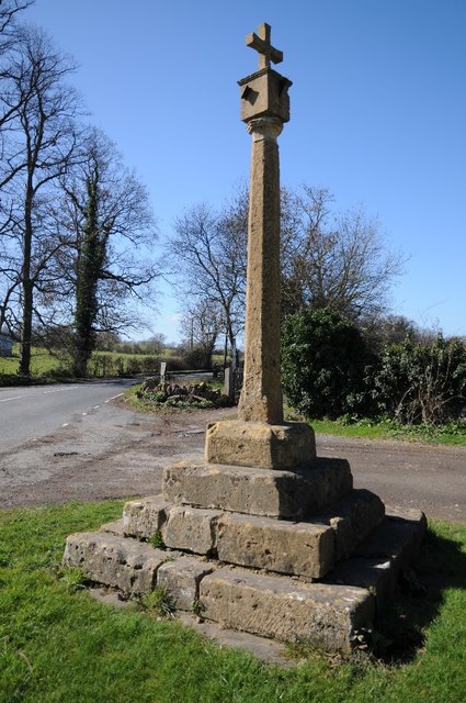
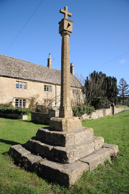
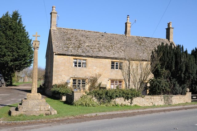
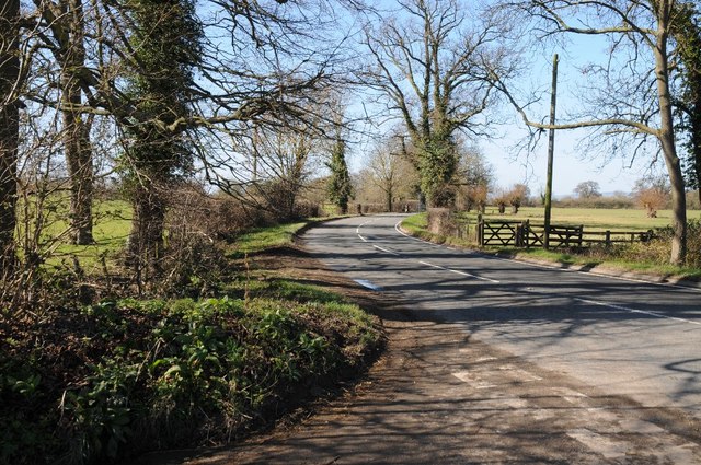
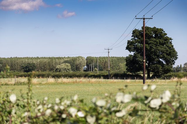
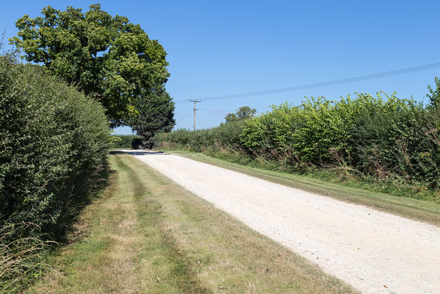
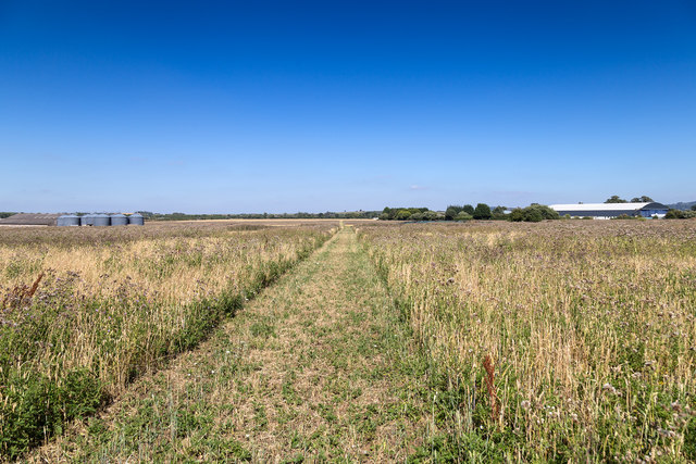
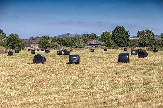
Saintbury Images

Images are sourced within 2km of 52.060326/-1.831237 or Grid Reference SP1140. Thanks to Geograph Open Source API. All images are credited.

Towards Willersey A view from the footpath across the fields towards Willersey.  The tower of the church of St Peter is just right of centre of the image and the Cotswold escarpment is seen in the distance.
Towards Willersey
A view from the footpath across the fields towards Willersey. The tower of the church of St Peter is just right of centre of the image and the Cotswold escarpment is seen in the distance.
Drive to Saintbury Grounds This private drive to Saintbury Grounds is also the route of a public footpath.
Drive to Saintbury Grounds
This private drive to Saintbury Grounds is also the route of a public footpath.
Industrial estate on former RAF Honeybourne The airfield opened in December 1940 and was used for training Canadian pilots.  The airfield closed in 1947 and reverted to farmland, and this industrial estate on the former site.
Industrial estate on former RAF Honeybourne
The airfield opened in December 1940 and was used for training Canadian pilots. The airfield closed in 1947 and reverted to farmland, and this industrial estate on the former site.
Farm access drive Farm access drive near Lower Fields Farm, Weston-Sub-Edge.
Farm access drive
Farm access drive near Lower Fields Farm, Weston-Sub-Edge.
Saintbury Cross Saintbury Cross is complete with a sundial and four gnomons.
Saintbury Cross
Saintbury Cross is complete with a sundial and four gnomons.
Saintbury Cross Sainbury Cross stands on the side of the road near Sainbury.  It is complete with sundials and four gnomons.
Saintbury Cross
Sainbury Cross stands on the side of the road near Sainbury. It is complete with sundials and four gnomons.
Cottage and Saintbury Cross Cottage and Saintbury Cross beside the B4632 between Weston-Sub-Edge and Willersey.
Cottage and Saintbury Cross
Cottage and Saintbury Cross beside the B4632 between Weston-Sub-Edge and Willersey.
The B4632 at Saintbury Cross
Grazing near The Lynches Wood View ESE from a bend in the road south east of Weston-sub-Edge.
Grazing near The Lynches Wood
View ESE from a bend in the road south east of Weston-sub-Edge.
Stone barn on Church Street A fine stone farm building in Weston Subedge.
The date stone on the front reads 1901.
Stone barn on Church Street
A fine stone farm building in Weston Subedge. The date stone on the front reads 1901.
White cattle grazing Looking NNE from Dover's View.
The old ridge and furrow contours of the field are clearly visible.
White cattle grazing
Looking NNE from Dover's View. The old ridge and furrow contours of the field are clearly visible.
Entrance to Buckle Mill The entrance to Honeybourne Industrial Estate off Honeybourne Road.
Entrance to Buckle Mill
The entrance to Honeybourne Industrial Estate off Honeybourne Road.
Entering Saintbury on B4632 The Saintbury Cross can be seen just off the bend ahead.
The 'Please drive carefully' plea has been ignored by whoever has hit the sign and bent it.
Entering Saintbury on B4632
The Saintbury Cross can be seen just off the bend ahead. The 'Please drive carefully' plea has been ignored by whoever has hit the sign and bent it.
Fields and power lines north east of Badsey Lane The original tree break for the power lines has grown over to produce a tunnel of foliage for the lines to pass through.
Fields and power lines north east of Badsey Lane
The original tree break for the power lines has grown over to produce a tunnel of foliage for the lines to pass through.
Driveway to Saintbury Grounds View north east up the driveway towards its junction with the B4035.
The northern edge of the grid square is just beyond the large tree on the left.
The driveway is also a public footpath at this point.
Driveway to Saintbury Grounds
View north east up the driveway towards its junction with the B4035. The northern edge of the grid square is just beyond the large tree on the left. The driveway is also a public footpath at this point.
Footpath to Honeybourne The footpath from Willersey to Honeybourne has just crossed the B4035, and is heading northeast across what used to be an airfield.
Footpath to Honeybourne
The footpath from Willersey to Honeybourne has just crossed the B4035, and is heading northeast across what used to be an airfield.
Silage bales in the field Silage bales in a field north east of the B4035.
Silage bales in the field
Silage bales in a field north east of the B4035.
Shady lane near Weston-sub-Edge View SSW up the tree covered lane.
Shady lane near Weston-sub-Edge
View SSW up the tree covered lane.
Show me another place!

Saintbury is located at Grid Ref: SP1140 (Lat: 52.060326, Lng: -1.831237)

Administrative County: Gloucestershire

District: Cotswold

Police Authority: Gloucestershire

What 3 Words

///cubs.depths.tides. Near Broadway, Worcestershire

Nearby Locations

Saintbury Saintbury

Related Wikis

Saintbury

Saintbury is a village and civil parish in the Cotswold District of Gloucestershire, England. The population of the civil parish at the 2011 Census was...

Church of St Nicholas, Saintbury

The Anglican Church of St Nicholas at Saintbury in the Cotswold District of Gloucestershire, England was built in the 13th century. It is a grade I listed...

Church of St Peter, Willersey

The Anglican Church of St Peter at Willersey in the Cotswold District of Gloucestershire, England was built in the 12th century. It is a grade I listed...

Weston-sub-Edge

Weston-sub-Edge (also known as Weston Subedge) is a village in Gloucestershire, England. == History == This Cotswold village, recorded in the Domesday...
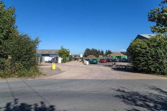
Nearby Amenities

Located within 500m of 52.060326,-1.831237
Bus Stop
Saintbury Cross
Bus: yes
Naptan AtcoCode: 1600GLC529
Naptan Bearing: E
Naptan CommonName: Saintbury Cross
Naptan Indicator: Opp
Naptan NaptanCode: glogdjpa
Naptan Street: B4632
Naptan Verified: no
Public Transport: platform
Source: naptan_import
Lat/Long: 52.0606231/-1.8309165
Bus Stop
Saintbury Cross
Bus: yes
Naptan AtcoCode: 1600GLC530
Naptan Bearing: SW
Naptan CommonName: Saintbury Cross
Naptan NaptanCode: glogdjmt
Naptan Street: B4632
Naptan Verified: no
Public Transport: platform
Shelter: yes
Source: naptan_import
Lat/Long: 52.0603482/-1.8310897
Barrier: kissing_gate
Lat/Long: 52.0560993/-1.8328905
Barrier: kissing_gate
Lat/Long: 52.0561838/-1.83174
Telephone
HE Ref: 127102
Booth: K6
Covered: booth
Listed Status: Grade II
Phone: +44 1386 853451
Source: survey
Source Listed Status: English Heritage
Lat/Long: 52.0563588/-1.8309571
Post Box
Collection Times: Mo-Fr 16:45; Sa 09:30; Su off
Post Box Type: lamp
Ref: WR12 30
Royal Cypher: EIIR
Royal Cypher Wikidata: Q33102113
Lat/Long: 52.0602695/-1.8311137
Barrier: kissing_gate
Lat/Long: 52.0560215/-1.8296161
Saintbury Cross
HE Ref: 127031
Historic: wayside_cross
Listed Status: Grade II
Source Listed Status: English Heritage
Lat/Long: 52.0605663/-1.8311229
Give Way
Direction: backward
Lat/Long: 52.0603755/-1.8311977
Material: wood
Power: pole
Lat/Long: 52.0613081/-1.8241113
Material: wood
Power: pole
Lat/Long: 52.0607705/-1.8249415
Material: wood
Power: pole
Lat/Long: 52.0601983/-1.8258213
Material: wood
Power: pole
Lat/Long: 52.059753/-1.8269397
Material: wood
Power: pole
Lat/Long: 52.0592801/-1.8281038
Material: wood
Power: pole
Lat/Long: 52.0590092/-1.8292538
Material: wood
Power: pole
Lat/Long: 52.0587549/-1.8303334
Material: wood
Power: pole
Lat/Long: 52.0584671/-1.831535
Saintbury Cross
Material: wood
Power: pole
Transformer: distribution
Voltage Primary: 11000
Lat/Long: 52.0597072/-1.8315867
Material: wood
Power: pole
Lat/Long: 52.0592813/-1.832111
Material: wood
Power: pole
Lat/Long: 52.0585714/-1.8325248
Material: wood
Power: pole
Lat/Long: 52.0581822/-1.8327454
Material: wood
Power: pole
Lat/Long: 52.0566571/-1.8329231
Material: wood
Power: pole
Lat/Long: 52.0575081/-1.8338263
Material: wood
Power: pole
Lat/Long: 52.0578416/-1.8341864
Material: wood
Power: pole
Lat/Long: 52.0575617/-1.8353699
Material: wood
Power: pole
Lat/Long: 52.0573378/-1.8363228
The data included in this document is from www.openstreetmap.org. The data is made available under ODbL.

Have you been to Saintbury?

Leave your review of Saintbury below (or comments, questions and feedback).