Robinswood
Settlement in Gloucestershire Gloucester
England
Robinswood

Robinswood is a small village located in the county of Gloucestershire, England. Situated approximately 5 miles northwest of the city of Gloucester, this picturesque village is known for its stunning natural beauty and peaceful ambiance.
With a population of around 500 residents, Robinswood exudes a close-knit community feel. The village is surrounded by lush green fields and rolling hills, offering breathtaking views of the countryside. The landscape is dotted with charming cottages, adding to the village's quaint charm.
Although it is a small village, Robinswood is well-equipped with amenities to cater to its residents' needs. There is a local convenience store, a post office, and a village hall that serves as a hub for community gatherings and events. Additionally, there are several small businesses and workshops in the village, contributing to the local economy.
Robinswood benefits from its proximity to Gloucester, a vibrant city that offers a wider range of amenities and attractions. Residents can easily access supermarkets, shopping centers, restaurants, and entertainment options within a short drive.
Nature enthusiasts will find plenty to explore in the surrounding area. The village is near the stunning Cotswolds, an Area of Outstanding Natural Beauty, where visitors can enjoy picturesque walks, cycling trails, and wildlife spotting.
Overall, Robinswood is a charming and peaceful village, offering a tranquil lifestyle amidst the scenic beauty of Gloucestershire.
If you have any feedback on the listing, please let us know in the comments section below.
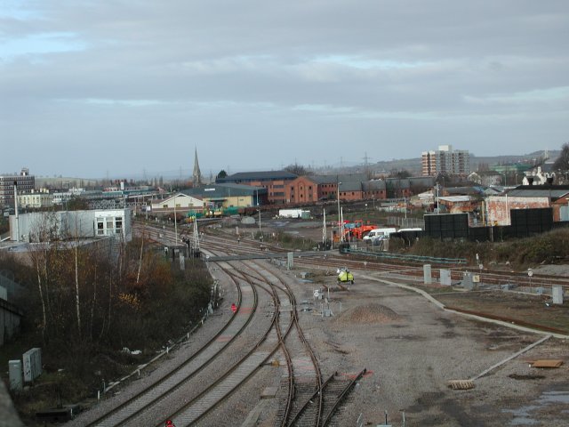
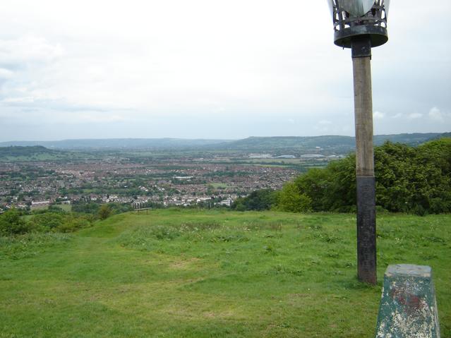
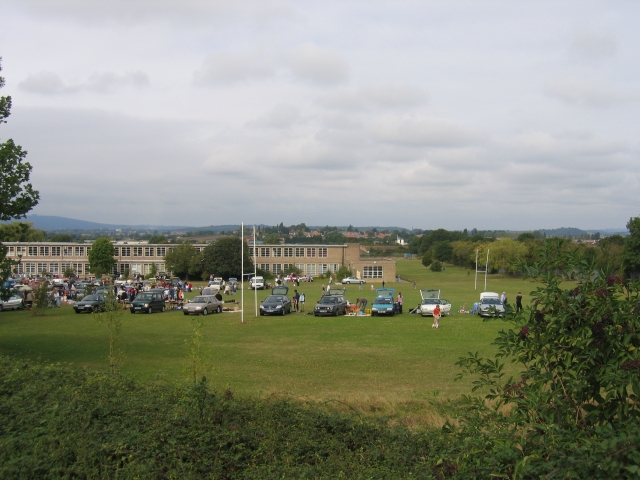
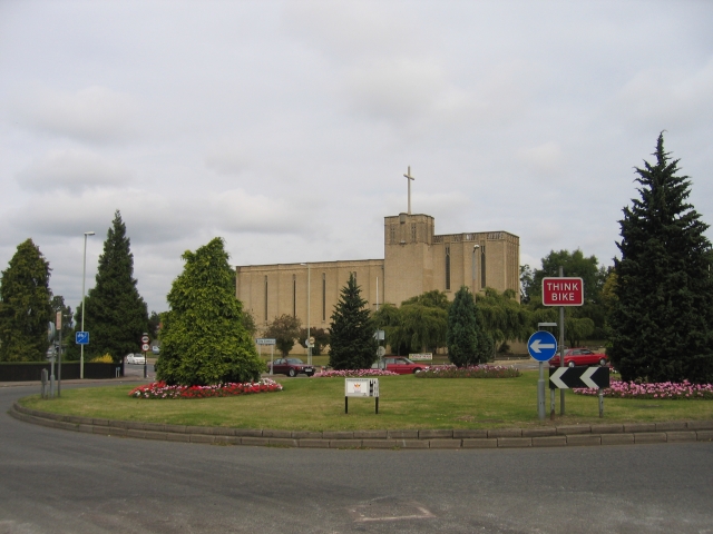
Robinswood Images
Images are sourced within 2km of 51.84477/-2.2293197 or Grid Reference SO8416. Thanks to Geograph Open Source API. All images are credited.


Robinswood is located at Grid Ref: SO8416 (Lat: 51.84477, Lng: -2.2293197)
Administrative County: Gloucestershire
District: Gloucester
Police Authority: Gloucestershire
What 3 Words
///buyers.clean.other. Near Gloucester, Gloucestershire
Nearby Locations
Related Wikis

Gloucester Academy
Gloucester Academy, was formed as a merger of Bishop's College, a mixed CofE school and Central Technology College, a boys school, starting life on the...
White City, Gloucester
White City is an estate in the City of Gloucester. It takes its name from the original white concrete houses.Following World War I, there was a national...
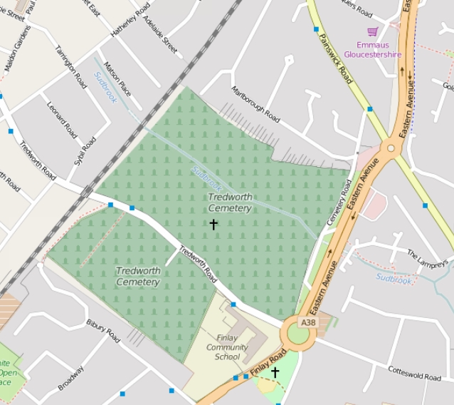
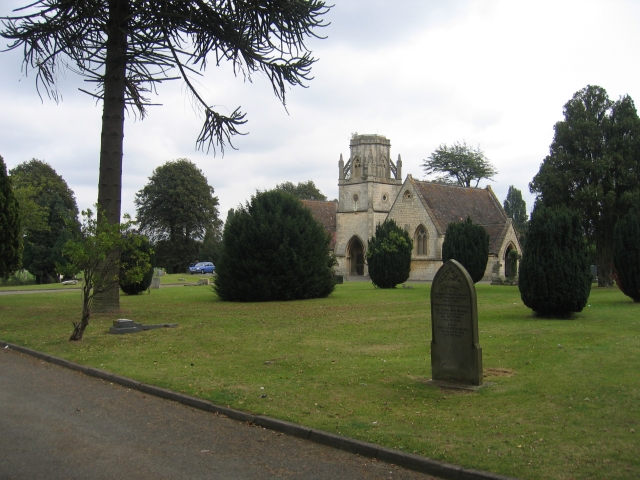
Tredworth Road Cemetery
Tredworth Road Cemetery, sometimes known as Gloucester Old Cemetery, is a cemetery in Gloucester, England, that is run by Gloucester City Council. In addition...
Ribston Hall High School
Ribston Hall High School is a selective grammar school with academy status in Gloucester, England, for girls between the ages of 11 and 18. It was founded...

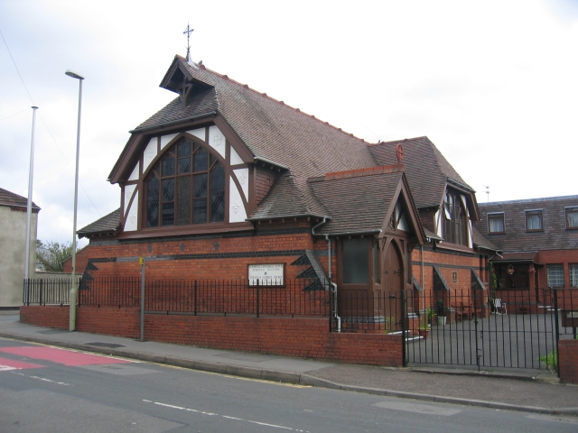
St Barnabas Church, Gloucester
St Barnabas Church is a Grade II listed building located in Stroud Road, Gloucester, Gloucestershire, England. It was built in 1938–40 and obtained its...
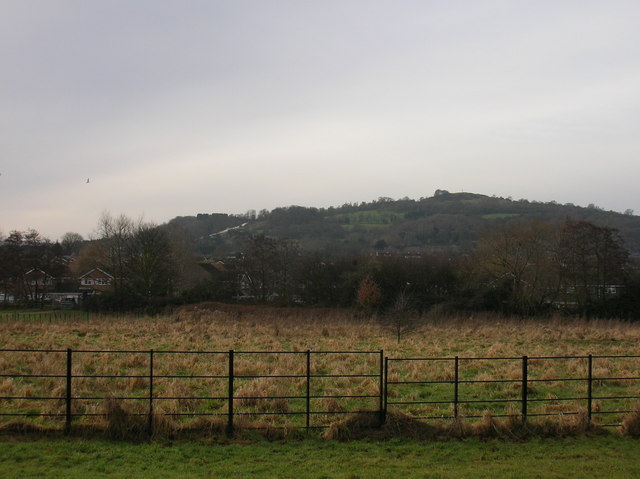
Robinswood Hill
Robinswood Hill (grid reference SO840150) is a hill and country park to the south of the city centre of Gloucester, close to the Stroud Road (A4173). It...
Gloucestershire Wildlife Trust
The Gloucestershire Wildlife Trust is the Gloucestershire local partner in a conservation network of 46 Wildlife Trusts. The Wildlife Trusts are local...
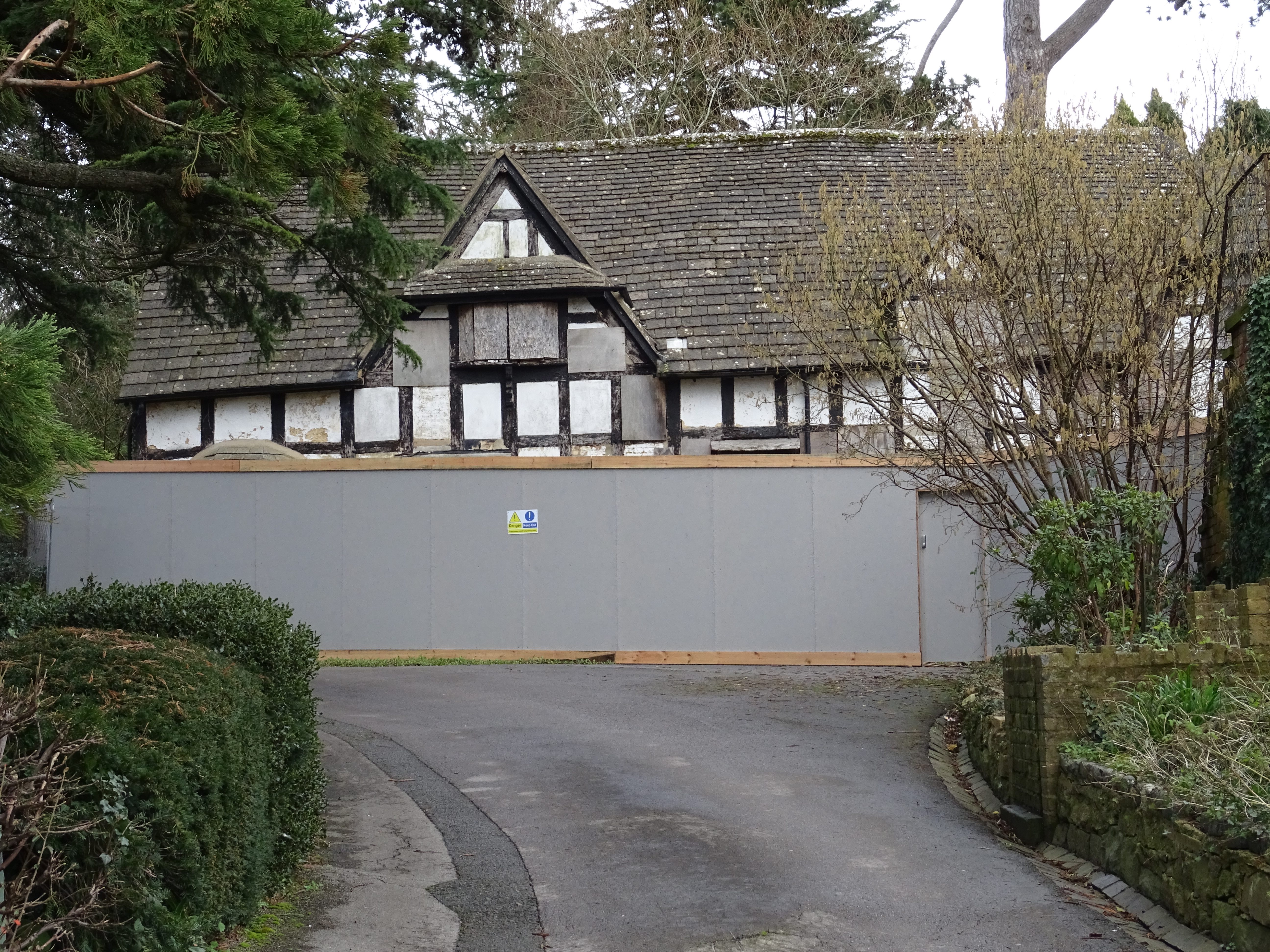
333 Stroud Road
333 Stroud Road is a former farmhouse on Stroud Road, Tuffley, Gloucester. It became a Grade II listed building on 12 March 1973. == History == It was...
Nearby Amenities
Located within 500m of 51.84477,-2.2293197Have you been to Robinswood?
Leave your review of Robinswood below (or comments, questions and feedback).