Blackmoor Gate
Settlement in Devon North Devon
England
Blackmoor Gate
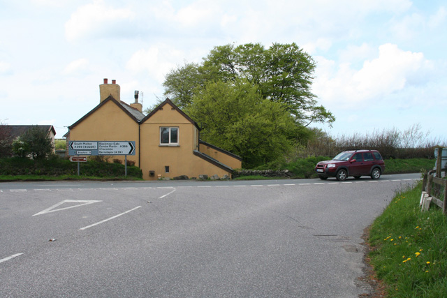
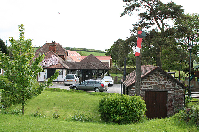
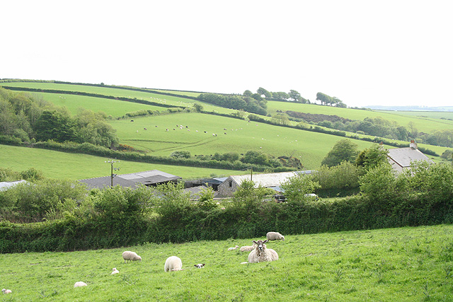
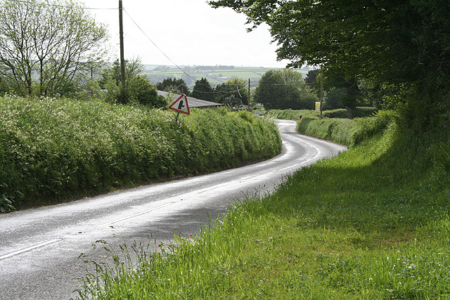
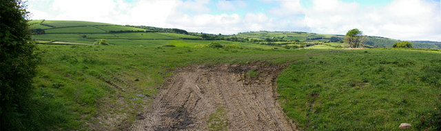
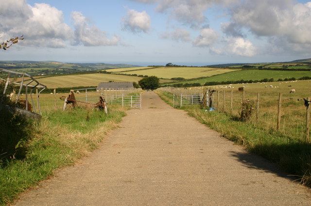
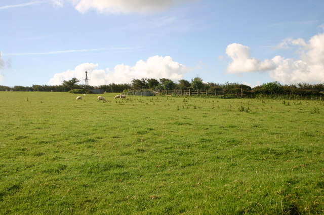
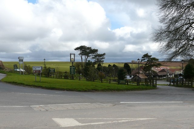
Blackmoor Gate is a small village located in the county of Devon, England. Situated on the southern edge of Exmoor National Park, it lies approximately 7 miles northeast of the town of Barnstaple. The village is nestled amidst picturesque rolling hills and lush countryside, offering visitors and residents a tranquil and idyllic setting.
Historically, Blackmoor Gate was a bustling coaching stop along the route between Barnstaple and South Molton. Today, it retains its charm with several historic buildings, including a 17th-century coaching inn that has been converted into a popular pub and restaurant.
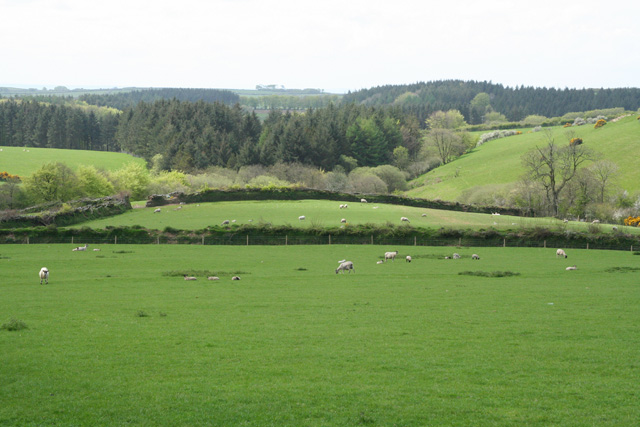
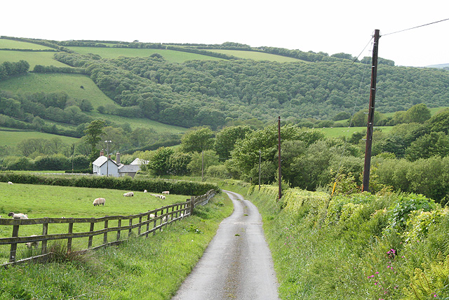
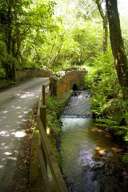
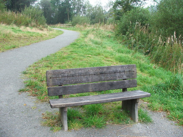
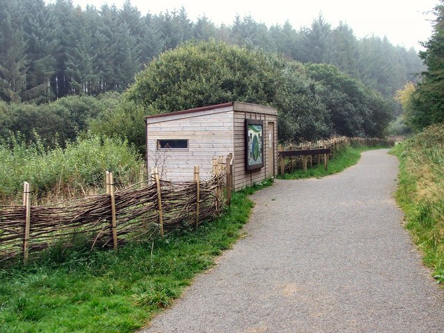
Although small in size, the village offers a range of amenities for its residents, including a primary school, a village hall, and a few local shops. The surrounding area is a haven for outdoor enthusiasts, with various walking and cycling trails that showcase the natural beauty of the region.
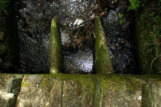
Blackmoor Gate also serves as a gateway to Exmoor National Park, one of the UK's designated Areas of Outstanding Natural Beauty. The park offers visitors the opportunity to explore vast moorland, ancient woodlands, and dramatic coastline. Additionally, the nearby Tarr Steps, a prehistoric clapper bridge, is a popular tourist attraction.
With its charming rural atmosphere, beautiful surroundings, and close proximity to Exmoor National Park, Blackmoor Gate is a hidden gem for those seeking a peaceful and picturesque retreat in the heart of Devon.
If you have any feedback on the listing, please let us know in the comments section below.
Blackmoor Gate Images
Images are sourced within 2km of 51.171574/-3.937479 or Grid Reference SS6443. Thanks to Geograph Open Source API. All images are credited.

Blackmoor Gate is located at Grid Ref: SS6443 (Lat: 51.171574, Lng: -3.937479)
Administrative County: Devon
District: North Devon
Police Authority: Devon and Cornwall
What 3 Words
///september.central.notebook. Near Combe Martin, Devon
Nearby Locations
Related Wikis

Blackmoor railway station
Blackmoor railway station, situated near to Blackmoor Gate at the western boundary of Exmoor National Park, England, was a station on the Lynton and Barnstaple...

Blackmoor Gate
Blackmoor Gate, the western gateway to Exmoor National Park, sits on the watershed between tributaries of the rivers Yeo and Heddon nearly 305 m (1000...

Kentisbury Down
Kentisbury Down is the location of an Iron Age enclosure or hill fort situated close to Blackmore Gate on the edge of Exmoor in Devon, England. The enclosure...

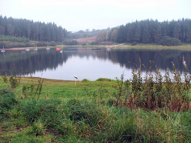
Wistlandpound Reservoir
Wistlandpound Reservoir is a reservoir in Devon, England owned by South West Water. Completed in 1957, the earth embankment reservoir holds up to 1,550...
Nearby Amenities
Located within 500m of 51.171574,-3.937479Have you been to Blackmoor Gate?
Leave your review of Blackmoor Gate below (or comments, questions and feedback).