Blackmoor
Settlement in Hampshire East Hampshire
England
Blackmoor

Blackmoor is a charming village located in the county of Hampshire, England. Situated within the South Downs National Park, it is surrounded by picturesque countryside and offers a tranquil and idyllic setting for residents and visitors alike. With a population of around 800 people, Blackmoor has managed to retain its rural character and peaceful atmosphere.
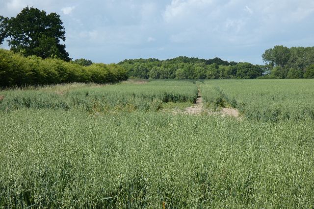
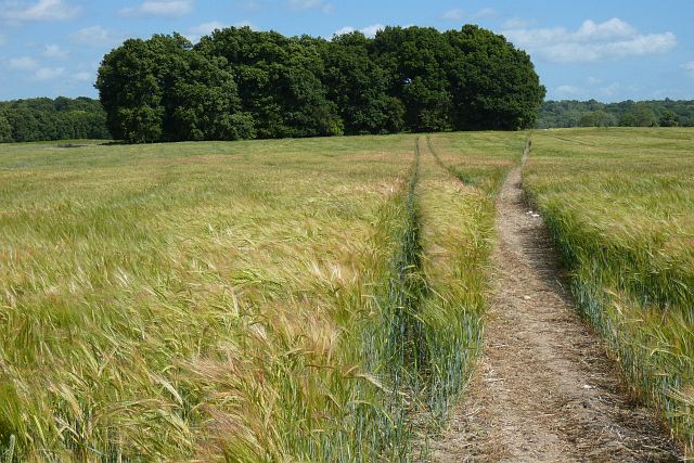
One of the notable features of Blackmoor is its agricultural heritage. The village is renowned for its fertile land, which has made it a prime location for farming activities. Fields of crops and grazing animals can be seen stretching across the landscape, creating a bucolic scene. The village is particularly known for its apple orchards, producing a variety of delicious local cider and apples.
The village itself is small and compact, with a charming mix of traditional thatched cottages and more modern houses. The local community is close-knit and friendly, with a strong sense of pride in their village. The heart of Blackmoor is the village green, a well-maintained open space that serves as a focal point for community events and activities.
In terms of amenities, Blackmoor offers a local primary school, a village hall, and a pub that has been serving locals and visitors for generations. The surrounding area provides ample opportunities for outdoor activities, such as walking, cycling, and horse riding, thanks to its proximity to the South Downs.
Overall, Blackmoor is a picturesque and peaceful village that offers a quintessential English countryside experience. Its agricultural heritage, tight-knit community, and stunning natural surroundings make it an appealing place to visit or call home.
If you have any feedback on the listing, please let us know in the comments section below.
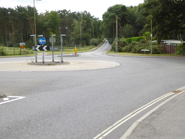
Blackmoor Images
Images are sourced within 2km of 51.095646/-0.888936 or Grid Reference SU7733. Thanks to Geograph Open Source API. All images are credited.


Blackmoor is located at Grid Ref: SU7733 (Lat: 51.095646, Lng: -0.888936)
Administrative County: Hampshire
District: East Hampshire
Police Authority: Hampshire
What 3 Words
///tomorrow.bookcases.candle. Near Bordon, Hampshire
Nearby Locations
Related Wikis

Blackmoor, Hampshire
Blackmoor is a village in the East Hampshire district of Hampshire, England. It lies about 1.5 miles (2.5 km) southwest of Bordon, just west of the A325...
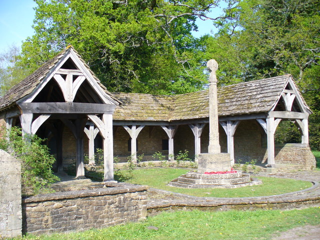
Blackmoor War Memorial
Blackmoor War Memorial is a First World War memorial cloister in Blackmoor, near Liss, in Hampshire. The memorial stands on the north side of the main...
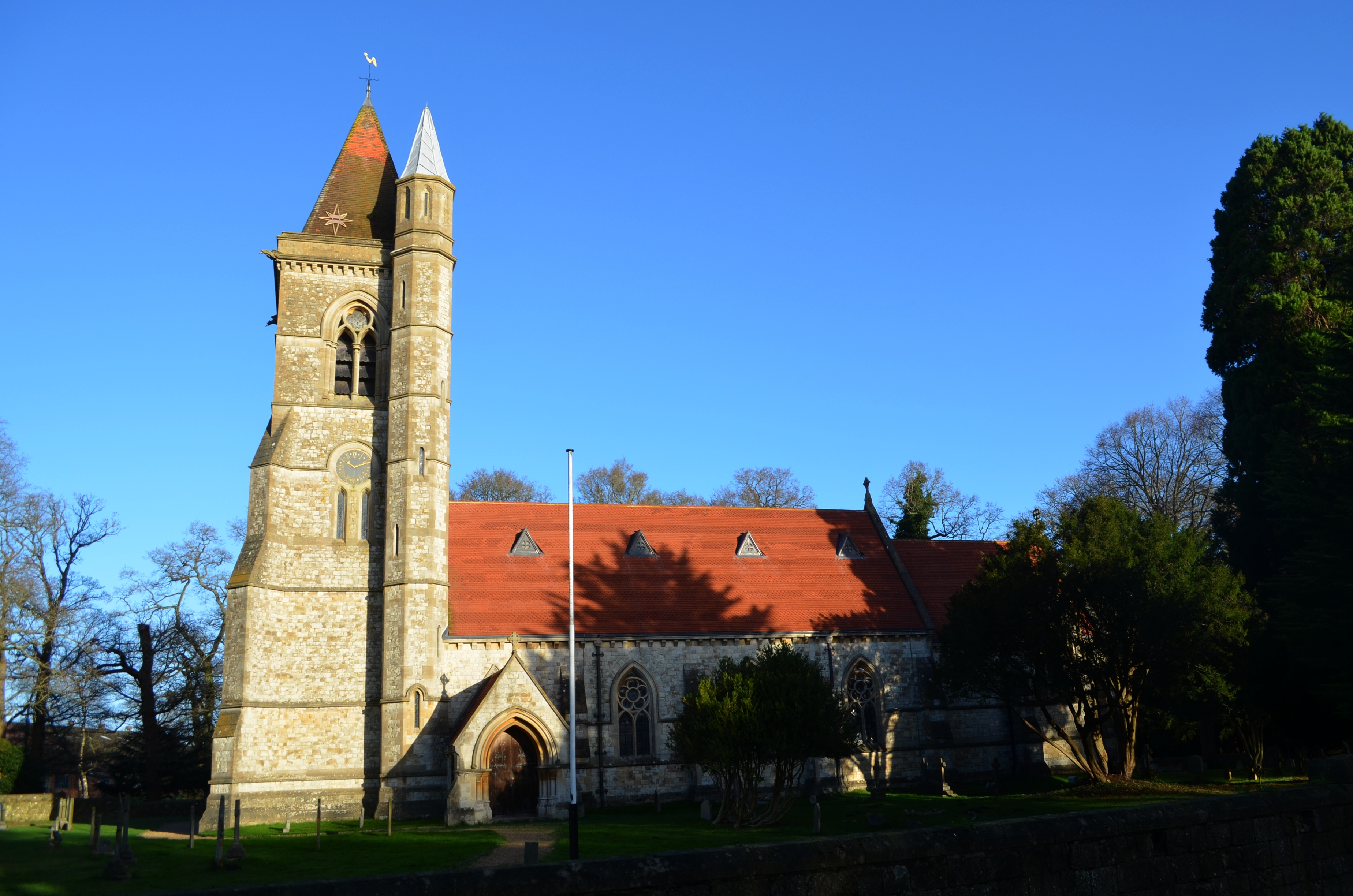
St Matthew's Church, Blackmoor
St Matthew's Church is an Anglican parish church in the village of Blackmoor, Hampshire, England. It is a Grade II* listed building. The church was designed...
Whitehill Junction railway station
Whitehill Junction railway station is a former railway station, on the Longmoor Military Railway, which was closed along with the rest of the line in 1969...
Related Videos

Ep.14, Hogmoor Inclosure Parkrun tourism, lovely trail run.
A nice trip just up the road to Hogmoor Inclosure Parkrun, and another new event for me. This is a cracking course, really nice 2 ...

Prince Philip Park & The Hogmoor Inclosure Natural Play area & Sculpture Trail, Lockdown 2.0 Bordon
The Hogmoor Inclosure within the Prince Philip Park at Bordon with its unique sculpture trail and natural playground is a ...
Start walking (Psalm 120)
Jon Piper launches our new series on the pilgrim psalms by explaining how they were originally used by Jewish pilgrims on their ...
Walk Through Deadwater River Walk 2024
Welcome to the world of Stevie L! Hey there, it's Stevie L, your go-to TikTok creator and live showcase extraordinaire! Join me ...
Nearby Amenities
Located within 500m of 51.095646,-0.888936Have you been to Blackmoor?
Leave your review of Blackmoor below (or comments, questions and feedback).