Hollacombe Coppice
Wood, Forest in Devon North Devon
England
Hollacombe Coppice
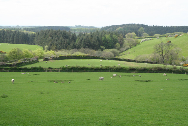
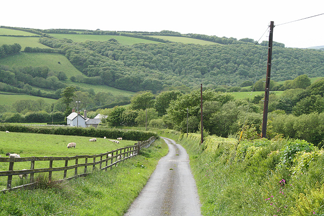
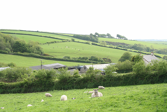
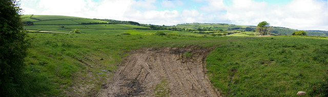
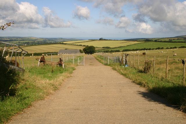
Hollacombe Coppice is a stunning wood located in the county of Devon, England. This enchanting forest spans across a vast area, covering approximately 100 acres of land. It is nestled in the heart of the picturesque countryside, providing a tranquil and peaceful escape for nature lovers and outdoor enthusiasts.
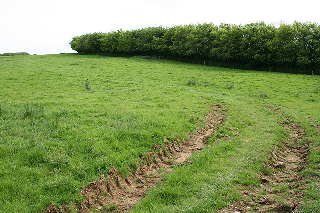
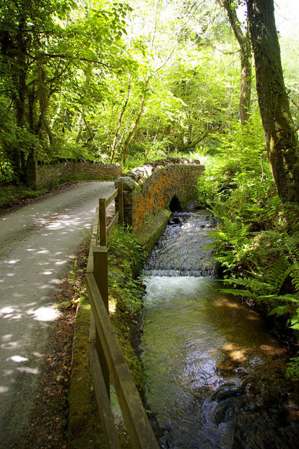
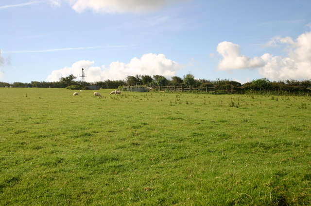
The coppice is characterized by its dense woodland, consisting of a variety of tree species such as oak, beech, and ash. These majestic trees create a dense canopy that filters sunlight, casting a dappled effect on the forest floor below. The rich and diverse flora and fauna that call this wood home make it a popular spot for wildlife enthusiasts and birdwatchers.
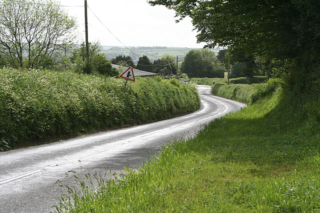
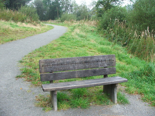
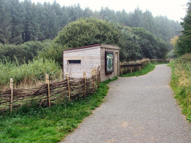
A network of well-maintained trails wind through the forest, offering visitors the opportunity to explore and discover the beauty of Hollacombe Coppice. The paths are suitable for walkers of all abilities, with some sections being wheelchair accessible. There are also designated picnic areas and benches scattered throughout the wood, providing a perfect spot to rest and take in the natural surroundings.
Hollacombe Coppice is not only a haven for wildlife but also holds historical significance. The wood has been managed sustainably for centuries, with evidence of traditional coppicing techniques still visible today. This traditional method involves the periodic cutting of trees to promote new growth and provide timber for various purposes.
Overall, Hollacombe Coppice is a magical woodland that offers visitors a chance to immerse themselves in nature's beauty. With its diverse wildlife, well-maintained trails, and historical significance, it is a must-visit destination for anyone seeking to experience the natural wonders of Devon.
If you have any feedback on the listing, please let us know in the comments section below.
Hollacombe Coppice Images
Images are sourced within 2km of 51.174554/-3.9360578 or Grid Reference SS6443. Thanks to Geograph Open Source API. All images are credited.


Hollacombe Coppice is located at Grid Ref: SS6443 (Lat: 51.174554, Lng: -3.9360578)
Administrative County: Devon
District: North Devon
Police Authority: Devon and Cornwall
What 3 Words
///severe.published.string. Near Combe Martin, Devon
Nearby Locations
Related Wikis

Blackmoor railway station
Blackmoor railway station, situated near to Blackmoor Gate at the western boundary of Exmoor National Park, England, was a station on the Lynton and Barnstaple...

Blackmoor Gate
Blackmoor Gate, the western gateway to Exmoor National Park, sits on the watershed between tributaries of the rivers Yeo and Heddon nearly 305 m (1000...

Kentisbury Down
Kentisbury Down is the location of an Iron Age enclosure or hill fort situated close to Blackmore Gate on the edge of Exmoor in Devon, England. The enclosure...

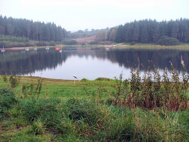
Wistlandpound Reservoir
Wistlandpound Reservoir is a reservoir in Devon, England owned by South West Water. Completed in 1957, the earth embankment reservoir holds up to 1,550...

Parracombe
Parracombe is a rural settlement 4 miles (6 km) south-west of Lynton, in Devon, England. It is situated in the Heddon Valley, on Exmoor. The population...

River Heddon
The River Heddon is a river in Devon, in the south of England. Running along the western edges of Exmoor, the river reaches the North Devon coast at Heddon...
Parracombe railway station
Parracombe railway station was a halt on the Lynton & Barnstaple Railway, a narrow gauge line that ran through Exmoor from Barnstaple to Lynton and Lynmouth...
Beacon Castle
Beacon Castle is an Iron Age hill fort close to Parracombe in Devon, England. It is situated on a hilltop some 290 metres (950 ft) above sea level, overlooking...
Nearby Amenities
Located within 500m of 51.174554,-3.9360578Have you been to Hollacombe Coppice?
Leave your review of Hollacombe Coppice below (or comments, questions and feedback).