Okenbury Plantation

Wood, Forest in Devon South Hams

England

Okenbury Plantation

Approaching Hoist Point The coast path follows Kingston footpath 8, with the cliff of Hoist Point ahead.
Approaching Hoist Point Credit: Derek Harper

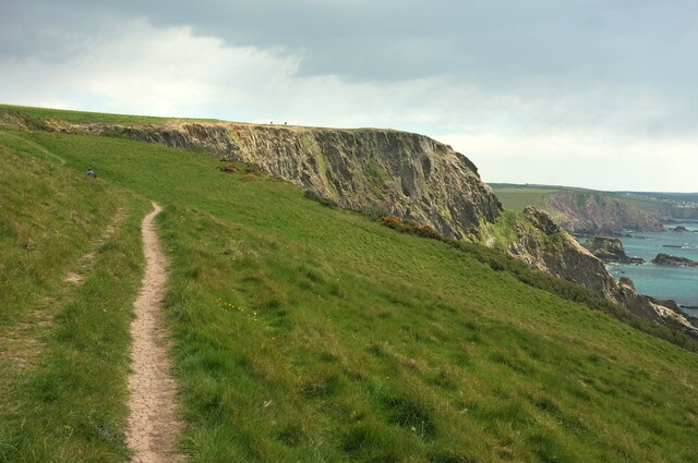
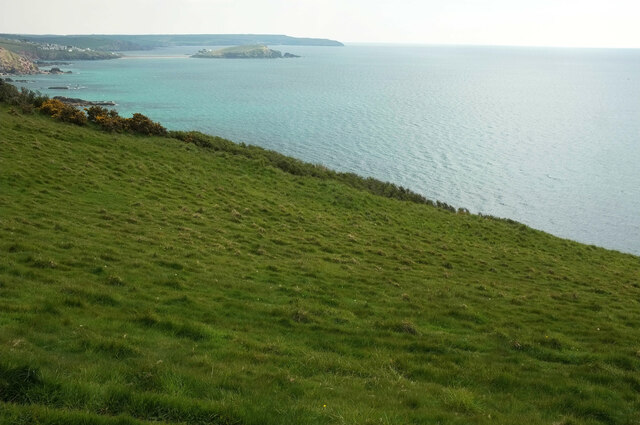
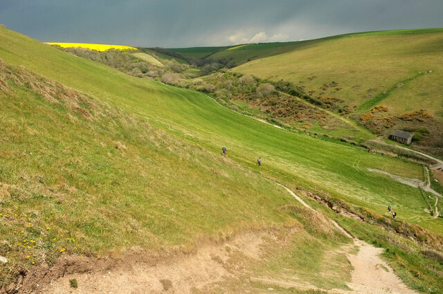
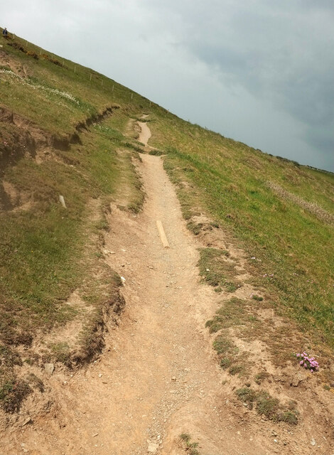
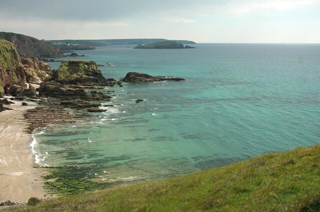
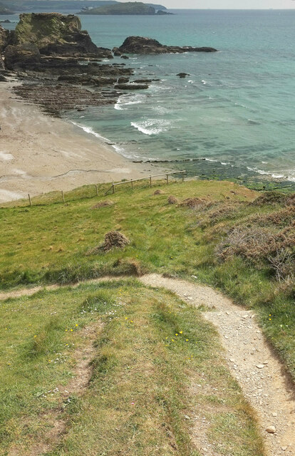
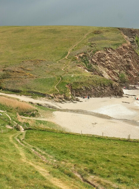
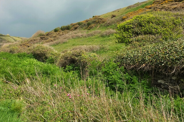
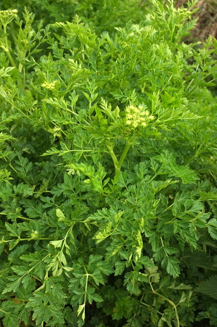
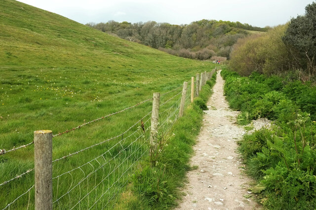
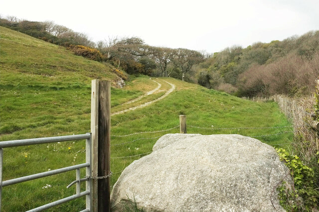
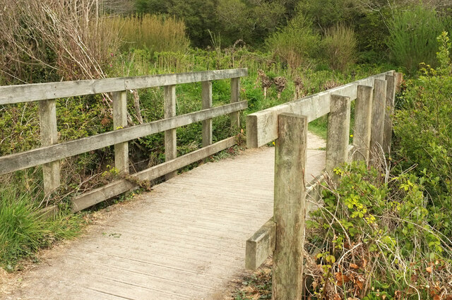
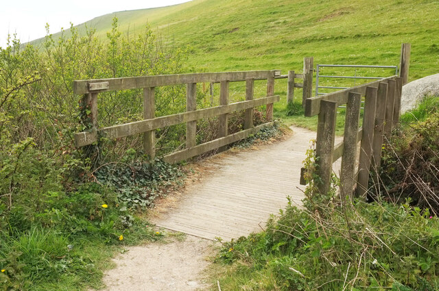
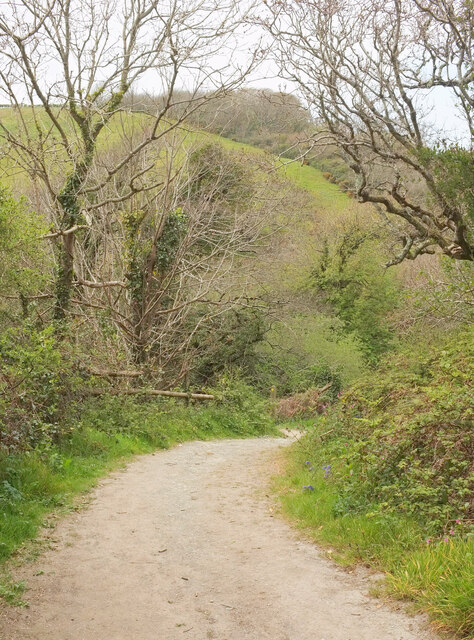
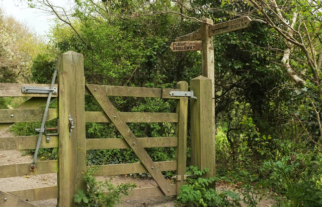
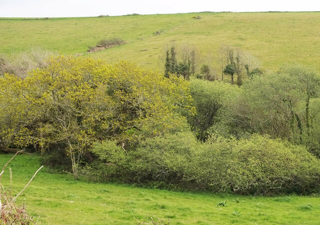
Okenbury Plantation is a picturesque woodland located in Devon, England. Covering an area of approximately 100 acres, the plantation is known for its dense forest of native trees such as oak, beech, and birch. The woodland is a popular destination for nature lovers and hikers, offering scenic walking trails that wind through the forest and provide opportunities to observe local wildlife such as deer, squirrels, and various bird species.

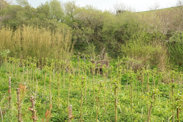
Okenbury Plantation is a designated Site of Special Scientific Interest (SSSI) due to its diverse ecosystem and the presence of rare plant species. The woodland is managed by local conservation organizations to maintain its ecological integrity and protect its biodiversity.

Visitors to Okenbury Plantation can enjoy peaceful walks in the tranquil surroundings, listening to the sounds of nature and breathing in the fresh air. The woodland is also a great spot for picnics and photography, with its lush greenery and vibrant flora providing a beautiful backdrop for outdoor activities. Overall, Okenbury Plantation is a hidden gem in Devon, offering a peaceful retreat for those seeking to connect with nature.

If you have any feedback on the listing, please let us know in the comments section below.

Okenbury Plantation Images

Images are sourced within 2km of 50.304531/-3.9002861 or Grid Reference SX6446. Thanks to Geograph Open Source API. All images are credited.

Approaching Hoist Point The coast path follows Kingston footpath 8, with the cliff of Hoist Point ahead.
Approaching Hoist Point
The coast path follows Kingston footpath 8, with the cliff of Hoist Point ahead.
Grassland above Hoist Beach A view from the coast path across the sloping grassland, with Burgh Island prominent in the distance.
Grassland above Hoist Beach
A view from the coast path across the sloping grassland, with Burgh Island prominent in the distance.
Westcombe from the coast path Taken on the precipitous descent down Kingston footpath 8 from Hoist Point, looking up the valley, which is also Wiscombe, as it's Wiscombe Lane that climbs up it towards Kingston. But below me is Westcombe Beach.
Westcombe from the coast path
Taken on the precipitous descent down Kingston footpath 8 from Hoist Point, looking up the valley, which is also Wiscombe, as it's Wiscombe Lane that climbs up it towards Kingston. But below me is Westcombe Beach.
Coast path above Westcombe Beach Kingston footpath 8 climbs away from the bend where <a href="https://www.geograph.org.uk/photo/6830735">SX6345 : Rocks below Hoist Point</a> was taken.
Coast path above Westcombe Beach
Kingston footpath 8 climbs away from the bend where SX6345 : Rocks below Hoist Point was taken.
Rocks off Westcombe Beach A stack and reefs run out to sea between the beach and Aylmer Cove. In the background are Burgh Island and Bolt Tail.
Rocks off Westcombe Beach
A stack and reefs run out to sea between the beach and Aylmer Cove. In the background are Burgh Island and Bolt Tail.
Approaching Westcombe Beach The coast path, following Kingston footpath 8, twists down to the rear of the beach.
Approaching Westcombe Beach
The coast path, following Kingston footpath 8, twists down to the rear of the beach.
Coast path at Westcombe Beach Following Kingston Footpath 8 down to cross the stream, and then Ringmore Footpath 15 up steeply beyond it, as the parish boundary follows the stream.
Coast path at Westcombe Beach
Following Kingston Footpath 8 down to cross the stream, and then Ringmore Footpath 15 up steeply beyond it, as the parish boundary follows the stream.
Wiscombe Hedges and bushes on the lower valley side in the area shown in <a href="https://www.geograph.org.uk/photo/6997564">SX6345 : Westcombe from the coast path</a>.
Wiscombe
Hedges and bushes on the lower valley side in the area shown in SX6345 : Westcombe from the coast path.
Hemlock water dropwort, Wiscombe I could be mistaken, but this looks like Conium maculatum, possibly Britain's most poisonous plant, and very common in late spring in and around South Devon watercourses.
Hemlock water dropwort, Wiscombe
I could be mistaken, but this looks like Conium maculatum, possibly Britain's most poisonous plant, and very common in late spring in and around South Devon watercourses.
Footpath, Wiscombe Shown in <a href="https://www.geograph.org.uk/photo/1511844">SX6346 : Path up Westcombe</a>, where I have described it as a permissive path. It is now a fully-fledged public footpath, Kingston Footpath 10.
Footpath, Wiscombe
Shown in SX6346 : Path up Westcombe, where I have described it as a permissive path. It is now a fully-fledged public footpath, Kingston Footpath 10.
Track, Wiscombe A private track seen from Kingston Footpath 10. The track follows a western branch if the valley towards Scobbiscombe Farm; the public footpath keeps to the main Wiscombe valley.
Track, Wiscombe
A private track seen from Kingston Footpath 10. The track follows a western branch if the valley towards Scobbiscombe Farm; the public footpath keeps to the main Wiscombe valley.
Footbridge, Wiscombe Kingston Footpath 10 crosses the stream down Wiscombe. This looks right from <a href="https://www.geograph.org.uk/photo/6998149">SX6346 : Track, Wiscombe</a>. In the background is <a href="https://www.geograph.org.uk/photo/6825304">SX6346 : Willow plantation near Butts Brake</a>.
Footbridge, Wiscombe
Kingston Footpath 10 crosses the stream down Wiscombe. This looks right from SX6346 : Track, Wiscombe. In the background is SX6346 : Willow plantation near Butts Brake.
Footbridge, Wiscombe Seen in <a href="https://www.geograph.org.uk/photo/6998167">SX6346 : Footbridge, Wiscombe</a>, it carries Kingston Footpath 10 down towards Westcombe Beach. The boulder shown in <a href="https://www.geograph.org.uk/photo/6998149">SX6346 : Track, Wiscombe</a> can also be seen.
Footbridge, Wiscombe
Seen in SX6346 : Footbridge, Wiscombe, it carries Kingston Footpath 10 down towards Westcombe Beach. The boulder shown in SX6346 : Track, Wiscombe can also be seen.
Willow plantation, Wiscombe Also shown in <a href="https://www.geograph.org.uk/photo/6825304">SX6346 : Willow plantation near Butts Brake</a>.
Willow plantation, Wiscombe
Footpath, Wiscombe Kingston Footpath 10.
Footpath, Wiscombe
Kingston Footpath 10.
Gate and path junction, Wiscombe At the point where Kingston Footpath 10 comes to an end and you have a choice between going ahead up the valley to Kingston, or forking left up the valley side to meet a lane to the village; both routes are Kingston Bridleway 2.
Gate and path junction, Wiscombe
At the point where Kingston Footpath 10 comes to an end and you have a choice between going ahead up the valley to Kingston, or forking left up the valley side to meet a lane to the village; both routes are Kingston Bridleway 2.
Trees, Wiscombe Trees along the stream down Wiscombe. Those in the background are along Wiscombe Lane.
Trees, Wiscombe
Trees along the stream down Wiscombe. Those in the background are along Wiscombe Lane.
Streamside trees, Wiscombe Looking right from <a href="https://www.geograph.org.uk/photo/6998272">SX6446 : Trees, Wiscombe</a>, with some overlap.
Streamside trees, Wiscombe
Looking right from SX6446 : Trees, Wiscombe, with some overlap.
Show me another place!

Okenbury Plantation is located at Grid Ref: SX6446 (Lat: 50.304531, Lng: -3.9002861)

Administrative County: Devon

District: South Hams

Police Authority: Devon and Cornwall

What 3 Words

///pest.graduated.nightlife. Near Modbury, Devon

Nearby Locations

Okenbury Plantation

Related Wikis

Ringmore

Ringmore is a village and civil parish in the South Hams district, on the coast of Devon, England. The population taken at the 2011 census was 208. �...

Kingston, Devon

Kingston is civil parish and small scattered village in the South Hams, Devon, England. It is three miles south west of Modbury and about a mile from the...
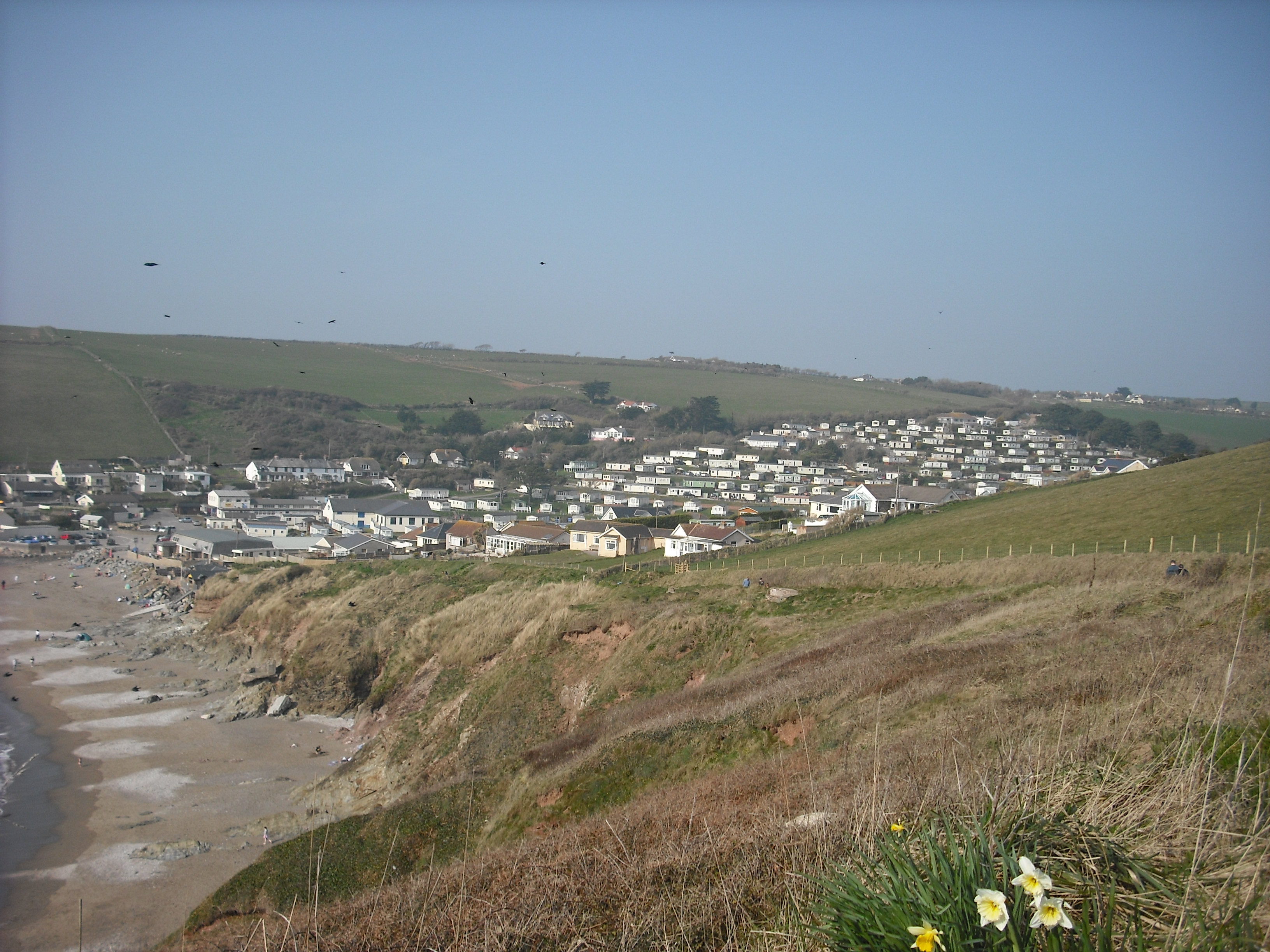
Challaborough

Challaborough is a village and popular surfing beach in the District of South Hams on the south coast of Devon, England. The village is in the parish of...

Bigbury

Bigbury is a village and civil parish in the South Hams district of Devon, England. According to the 2001 census the parish had a population of 582, compared...

Nearby Amenities

Located within 500m of 50.304531,-3.9002861
Barrier: kissing_gate
Lat/Long: 50.3009369/-3.8963911
Ford: yes
Lat/Long: 50.302811/-3.8986973
The data included in this document is from www.openstreetmap.org. The data is made available under ODbL.

Have you been to Okenbury Plantation?

Leave your review of Okenbury Plantation below (or comments, questions and feedback).