Addison

Settlement in Durham

England

Addison

Drinking fountain, Newburn Institute
Drinking fountain, Newburn Institute Credit: Andrew Curtis

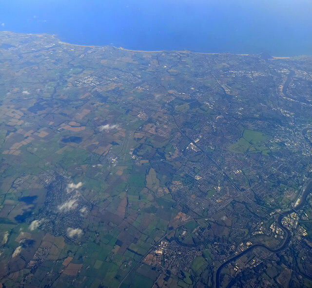
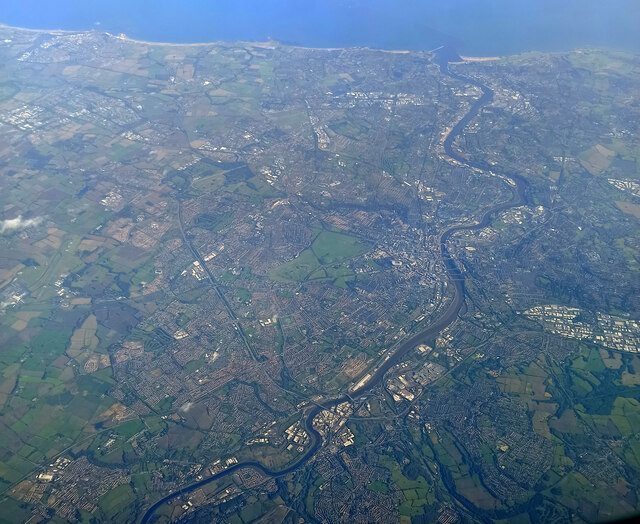
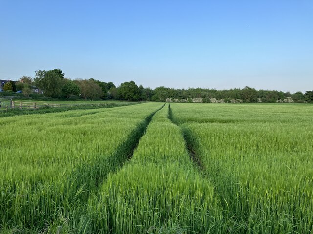
Addison is a small, picturesque village located in Durham, a county in the northeast of England. Situated approximately 10 miles west of the city of Durham, Addison is surrounded by stunning natural beauty, with rolling hills and meandering rivers dominating the landscape.

The village itself is renowned for its charming, traditional cottages made of local stone, which add to the overall idyllic atmosphere. Addison's population is around 500 residents, giving it a tight-knit community feel. The village is well-preserved and maintains its historical character, with some buildings dating back to the 17th century.

One of the notable features of Addison is its parish church, St. Michael and All Angels. This beautiful medieval church is a Grade I listed building and serves as a focal point for the community. The church's architecture and stained glass windows are particularly admired by visitors.

Nature lovers are drawn to Addison for its proximity to the renowned Hamsterley Forest, a vast woodland area that offers a range of outdoor activities, including walking, cycling, and horse riding trails. The forest is also home to an abundance of wildlife, making it a popular destination for birdwatchers and nature enthusiasts.

Overall, Addison in Durham is a captivating village, combining historic charm with stunning natural surroundings. Its peaceful atmosphere and close-knit community make it an ideal destination for those seeking a tranquil escape while still being within reach of urban amenities.

If you have any feedback on the listing, please let us know in the comments section below.
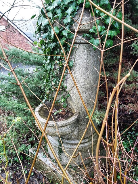
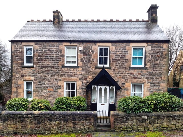
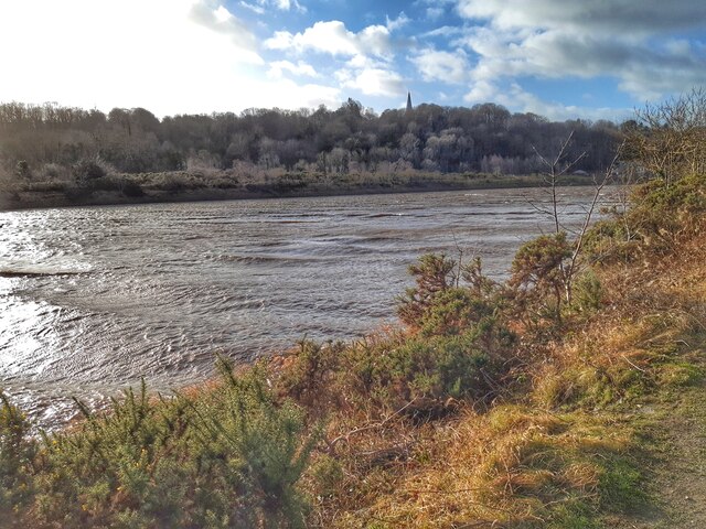
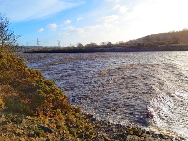
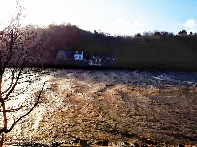
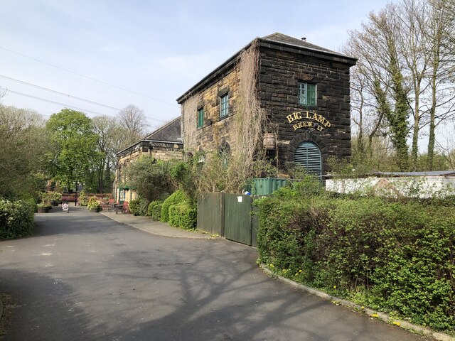
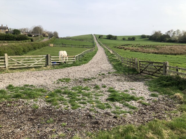
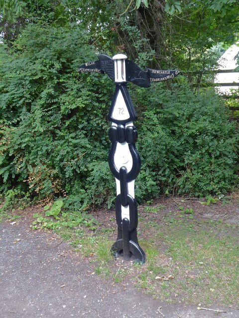
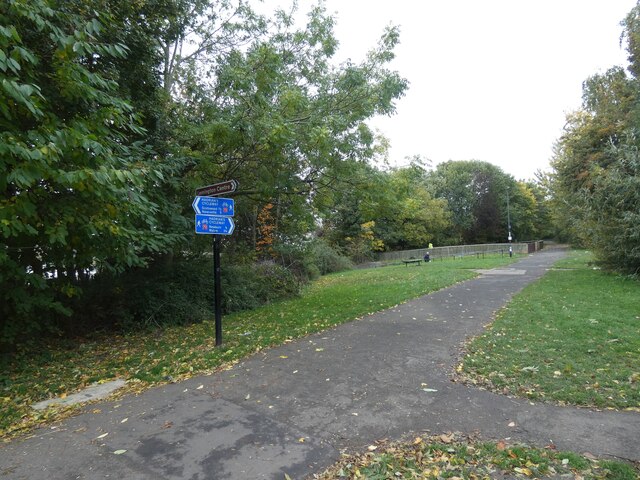
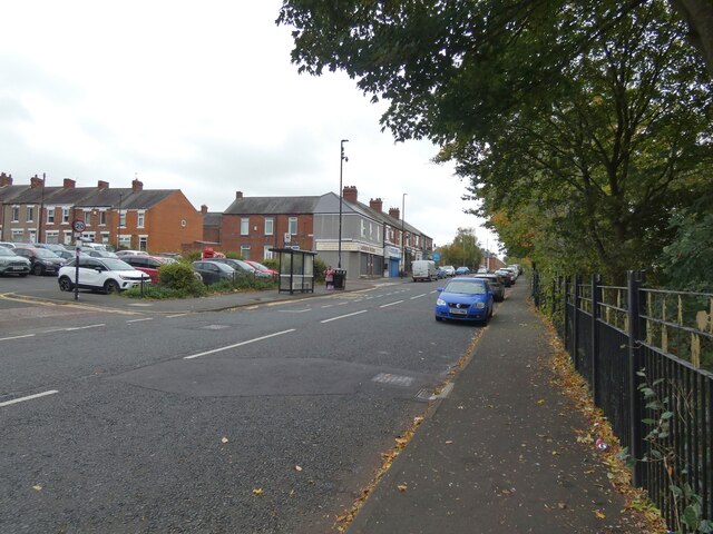
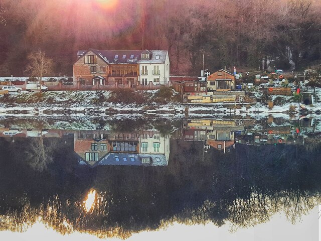
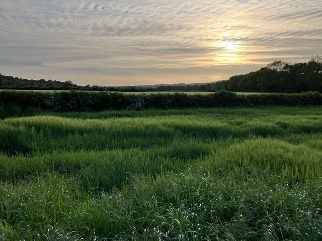
Addison Images

Images are sourced within 2km of 54.972613/-1.741423 or Grid Reference NZ1664. Thanks to Geograph Open Source API. All images are credited.

Drinking fountain, Newburn Institute
Warkworth House, Church Bank, Newburn Warkworth House and the nearby Warkworth Crescent in Newburn are not named for the Northumberland town of that name. Newburn manor, with all its regalities, was given by King John to Robert, son of Roger de Clavering, Baron of Warkworth. John, the last Lord Clavering, granted the reversion of it to the crown, and Edward III gave it to Henry Lord Percy, from whom it has descended to the present proprietor. 
Warkworth House, Church Bank, Newburn
Warkworth House and the nearby Warkworth Crescent in Newburn are not named for the Northumberland town of that name. Newburn manor, with all its regalities, was given by King John to Robert, son of Roger de Clavering, Baron of Warkworth. John, the last Lord Clavering, granted the reversion of it to the crown, and Edward III gave it to Henry Lord Percy, from whom it has descended to the present proprietor. 
Class 156 Multiple Unit at Blaydon A Carlisle to Newcastle service operated by 156471 seen arriving at Blaydon.
Class 156 Multiple Unit at Blaydon
A Carlisle to Newcastle service operated by 156471 seen arriving at Blaydon.
Storm Malik stirs up waters of Tyne
Big Lamp Brewery The Big Lamp Brewery and The Keelman pub are housed in a former water pumping station beside the river Tyne. A link to some history of the building: <span class="nowrap"><a title="https://biglampbrewers.co.uk/keelman-pub/history-keelman-pub/" rel="nofollow ugc noopener" href="https://biglampbrewers.co.uk/keelman-pub/history-keelman-pub/">Link</a><img style="margin-left:2px;" alt="External link" title="External link - shift click to open in new window" src="https://s1.geograph.org.uk/img/external.png" width="10" height="10"/></span>
Big Lamp Brewery
The Big Lamp Brewery and The Keelman pub are housed in a former water pumping station beside the river Tyne. A link to some history of the building: LinkExternal link
Track up Rye Hill
Track up Rye Hill
National Cycle Network milepost at Newburn This milepost stands on Hadrian's Cycleway near Newburn bridge. This milepost (of the so-called "Welsh" design) was repainted as part of the 2021 repainting program. It used to be blue, see <a href="https://www.geograph.org.uk/photo/2895146">NZ1665 : A national cycle route marker</a>.
National Cycle Network milepost at Newburn
This milepost stands on Hadrian's Cycleway near Newburn bridge. This milepost (of the so-called "Welsh" design) was repainted as part of the 2021 repainting program. It used to be blue, see NZ1665 : A national cycle route marker.
Newcastle from the air The north side of the city, with Newcastle Airport visible to the left of centre.

Taken at around 37,000 feet by mobile phone, from a Prague bound flight from Edinburgh.
Newcastle from the air
The north side of the city, with Newcastle Airport visible to the left of centre. Taken at around 37,000 feet by mobile phone, from a Prague bound flight from Edinburgh.
Newcastle from the air Most of the city can be seen in this view.

Taken at around 37,000 feet by mobile phone, from a Prague bound flight from Edinburgh.
Newcastle from the air
Most of the city can be seen in this view. Taken at around 37,000 feet by mobile phone, from a Prague bound flight from Edinburgh.
Lemington, Newcastle -upon- Tyne Grade 2 listed building.
The last remaining brick-built glass cone at the site of the former glassworks at Lemington, it was one of four cones constructed in 1787.
Lemington, Newcastle -upon- Tyne
Grade 2 listed building. The last remaining brick-built glass cone at the site of the former glassworks at Lemington, it was one of four cones constructed in 1787.
Hadrian's Cycleway Sustrans National Cycle Network Route 72 here follows the line of Hadrian's Wall. It provides a pedestrian entrance to the nearby Lidl on Scottswood Road.
Hadrian's Cycleway
Sustrans National Cycle Network Route 72 here follows the line of Hadrian's Wall. It provides a pedestrian entrance to the nearby Lidl on Scottswood Road.
Hadrian's Cycleway 
This section which is part of Sustran's National Cycle Network 72 <span class="nowrap"><a title="https://www.sustrans.org.uk/find-other-routes/hadrians-cycleway" rel="nofollow ugc noopener" href="https://www.sustrans.org.uk/find-other-routes/hadrians-cycleway">Link</a><img style="margin-left:2px;" alt="External link" title="External link - shift click to open in new window" src="https://s1.geograph.org.uk/img/external.png" width="10" height="10"/></span> follows the route of Hadrian's Wall.
Hadrian's Cycleway
This section which is part of Sustran's National Cycle Network 72 LinkExternal link follows the route of Hadrian's Wall.
Tyne View, Lemington 
Despite its name, the road doesn't seem to offer views of the river. The shop on the corner of Montague Street is a butchers.
Tyne View, Lemington
Despite its name, the road doesn't seem to offer views of the river. The shop on the corner of Montague Street is a butchers.
Ryton Ferry House Colourful reflections in the River Tyne, the waters still, near full tide on a winter's morning with the low rising sun scattered through the trees below the spire of Ryton Church.
Ryton Ferry House
Colourful reflections in the River Tyne, the waters still, near full tide on a winter's morning with the low rising sun scattered through the trees below the spire of Ryton Church.
Late evening sun over arable land at Moor Court
Tramlines in arable crop at Moor Court
Show me another place!

Addison is located at Grid Ref: NZ1664 (Lat: 54.972613, Lng: -1.741423)

Unitary Authority: Gateshead

Police Authority: Northumbria

What 3 Words

///dice.healers.humans. Near Newburn, Tyne & Wear

Related Wikis

Addison and Hedgefield Woods

Addison and Hedgefield Woods is a 14-hectare nature reserve situated in Blaydon, Tyne and Wear, England. The reserve encompasses diverse habitats such...

Addison and Hedgefield Reserve

Addison and Hedgefield Reserve is a woodland area located in the region of Gateshead, United Kingdom, situated to the north of the B6317 to the west of...

Stella, Gateshead

Stella is a community in the Metropolitan Borough of Gateshead, Tyne and Wear, England. It lies on the south bank of the Tyne, about 5 miles (8 km) west...

Newcastle University Boat Club

Newcastle University Boat Club (NUBC) is the rowing club of Newcastle University, UK. Established in March 1911 as the boat club for Armstrong College...

Nearby Amenities

Located within 500m of 54.972613,-1.741423
Crossing
Crossing: uncontrolled
Crossing Island: no
Tactile Paving: yes
Lat/Long: 54.9723761/-1.7439435
Traffic Signals
Traffic Signals: signal
Traffic Signals Direction: both
Lat/Long: 54.970929/-1.7342313
Crossing Barrier: half
Crossing Bell: yes
Crossing Light: yes
Railway: level_crossing
Lat/Long: 54.9722337/-1.7348743
Bus Stop
NEWBURN BRIDGE ROAD-W/B
Local Ref: W
Naptan AtcoCode: 410000013975
Naptan Bearing: W
Naptan CommonName: NEWBURN BRIDGE ROAD-W/B
Naptan Indicator: W
Naptan Landmark: S/E OF ELECTRICITY SUB STATION
Naptan NaptanCode: twrawgwt
Naptan Street: NEWBURN BRIDGE STREET
Naptan Verified: no
Source: naptan_import
Lat/Long: 54.9756274/-1.7405921
Bus Stop
Stella Road
Bench: no
Bin: no
Bus: yes
Covered: no
Departures Board: timetable
Lit: yes
Local Ref: W
Naptan AtcoCode: 410000013009
Naptan Bearing: NW
Naptan Indicator: NW-Bound
Naptan Landmark: Outside Hedgefield County Hotel
Naptan NaptanCode: twratpmw
Naptan Street: Stella Road
Naptan Verified: no
Official Name: Stella Road-Hedgefield Avenue
Passenger Information Display: no
Public Transport: platform
Shelter: no
Source: naptan_import
Tactile Paving: no
Lat/Long: 54.9718138/-1.7402466
Bus Stop
Stella Road-Hedgefield Terrace
Bench: no
Bin: no
Bus: yes
Check Date Shelter: 2021-03-04
Lit: yes
Local Ref: W
Naptan AtcoCode: 410000013010
Naptan Bearing: W
Naptan Indicator: W-Bound
Naptan Landmark: Outside Vicarage
Naptan NaptanCode: twratpta
Naptan Street: Stella Road
Naptan Verified: no
Public Transport: platform
Shelter: no
Source: naptan_import
Tactile Paving: no
Lat/Long: 54.9723461/-1.7445635
Bus Stop
Stella Road-High Hedgefield
Bench: no
Bin: no
Bus: yes
Departures Board: timetable
Lit: yes
Local Ref: W
Naptan AtcoCode: 410000013011
Naptan Bearing: W
Naptan Indicator: W-Bound
Naptan Landmark: Opposite High Hedgefield Terrace
Naptan NaptanCode: twratptd
Naptan Street: Stella Road
Naptan Verified: no
Public Transport: platform
Shelter: no
Source: naptan_import
Tactile Paving: no
Lat/Long: 54.9723342/-1.747159
Bus Stop
Stella Road
Bench: no
Bin: no
Bus: yes
Departures Board: timetable
Lit: yes
Local Ref: E
Naptan AtcoCode: 410000013018
Naptan Bearing: E
Naptan Indicator: E-Bound
Naptan Landmark: West Of High Hedgefield Terrace
Naptan NaptanCode: twratpwd
Naptan Street: B6317
Naptan Verified: no
Official Name: Stella Road-High Hedgefield
Public Transport: platform
Shelter: no
Source: naptan_import
Tactile Paving: no
Lat/Long: 54.9724322/-1.7465611
Bus Stop
Stella Bank
Bench: yes
Bin: yes
Bus: yes
Departures Board: timetable
Lit: yes
Local Ref: W
Naptan AtcoCode: 410000013019
Naptan Bearing: E
Naptan Indicator: E-Bound
Naptan Landmark: Opposite St Hilda's Church
Naptan NaptanCode: twratpwg
Naptan Street: B6317
Naptan Verified: no
Official Name: Stella Road-Hedgefield Terrace
Public Transport: platform
Shelter: yes
Source: naptan_import
Tactile Paving: no
Lat/Long: 54.9724056/-1.7430826
Bus Stop
Stella Road-Hedgefield Avenue
Bench: yes
Bin: no
Bus: yes
Covered: no
Departures Board: timetable
Lit: yes
Local Ref: E
Naptan AtcoCode: 410000013020
Naptan Bearing: SE
Naptan Indicator: SE-Bound
Naptan Landmark: Opposite Hedgefield County Hotel
Naptan NaptanCode: twratpwj
Naptan Street: B6317
Naptan Verified: no
Public Transport: platform
Shelter: yes
Source: naptan_import
Tactile Paving: no
Lat/Long: 54.97186/-1.7397956
Bus Stop
ADDISON INDUSTRIAL ESTATE
Bus: yes
Local Ref: E
Naptan AtcoCode: 410000013150
Naptan Bearing: E
Naptan CommonName: ADDISON INDUSTRIAL ESTATE
Naptan Indicator: E
Naptan Landmark: OPPOSITE RYTON INDUSTRIAL ESTATE
Naptan NaptanCode: twrawdmg
Naptan Street: NEWBURN BRIDGE ROAD
Naptan Verified: no
Public Transport: platform
Source: naptan_import
Lat/Long: 54.9744474/-1.7351161
Bus Stop
NEWBURN BRIDGE ROAD-E/B
Local Ref: SE
Naptan AtcoCode: 410000013151
Naptan Bearing: SE
Naptan CommonName: NEWBURN BRIDGE ROAD-E/B
Naptan Indicator: SE
Naptan Landmark: OPPOSITE THE WILLOWS BUS CENTRE
Naptan NaptanCode: twrawdmj
Naptan Street: NEWBURN BRIDGE ROAD
Naptan Verified: no
Source: naptan_import
Lat/Long: 54.9752911/-1.7388133
Bus Stop
ADDISON INDUSTRIAL ESTATE
Bus: yes
Local Ref: NE
Naptan AtcoCode: 410000013154
Naptan Bearing: NE
Naptan CommonName: ADDISON INDUSTRIAL ESTATE
Naptan Indicator: NE
Naptan Landmark: OUTSIDE RYTON INDUSTRIAL ESTATE
Naptan NaptanCode: twrawdmw
Naptan Street: ADDISON INDUSTRIAL ESTATE
Naptan Verified: no
Public Transport: platform
Source: naptan_import
Lat/Long: 54.9745024/-1.7356313
Bus Stop
CROOKHILL THE LONNEN
Local Ref: E
Naptan AtcoCode: 410000060011
Naptan Bearing: E
Naptan CommonName: CROOKHILL THE LONNEN
Naptan Indicator: E
Naptan Landmark: OUTSIDE CROOKHILL PRIMARY SCHOOL
Naptan NaptanCode: twrgpjwa
Naptan Street: HEXHAM OLD ROAD
Naptan Verified: no
Source: naptan_import
Lat/Long: 54.9700408/-1.7462517
Power: tower
Source: Bing
Lat/Long: 54.9770692/-1.7410976
Power: tower
Lat/Long: 54.9757/-1.7379315
Power: tower
Source: Bing
Lat/Long: 54.9765228/-1.7416833
Power: tower
Lat/Long: 54.97543/-1.7381319
Power: tower
Lat/Long: 54.9714595/-1.7352848
Power: tower
Lat/Long: 54.9718518/-1.7360983
Power: tower
Source: Bing
Lat/Long: 54.9739523/-1.734733
Power: tower
Lat/Long: 54.9721959/-1.7386702
Power: tower
Lat/Long: 54.9716174/-1.7439608
Turning Circle
Lat/Long: 54.9731518/-1.7338079
Crossing
Button Operated: yes
Crossing: traffic_signals
Crossing Island: no
Tactile Paving: yes
Traffic Signals Vibration: yes
Lat/Long: 54.9710145/-1.7341771
Jack & Jo's
Addr City: Blaydon on Tyne
Addr Street: Main Road
Shop: garden_centre
Lat/Long: 54.9717541/-1.7426066
Power: tower
Lat/Long: 54.9745029/-1.7442752
Crossing Barrier: half
Crossing Bell: yes
Crossing Light: yes
Railway: level_crossing
Lat/Long: 54.9721905/-1.7348851
Power: transformer
Voltage Primary: 275000
Voltage Secondary: 132000
Lat/Long: 54.9766127/-1.7421352
Power: transformer
Voltage Primary: 275000
Voltage Secondary: 132000
Lat/Long: 54.9768206/-1.7419538
Power: tower
Lat/Long: 54.969254/-1.7367894
Restaurant
La Taverna
Addr City: Blaydon-on-Tyne
Addr Postcode: NE21 4LU
Cuisine: tapas
Lat/Long: 54.9716345/-1.7406662
Blaydon Cycle Club
Addr City: Blaydon-on-Tyne
Addr Postcode: NE21 4LU
Alt Name: BCC
Designation: Cycle Club
Leisure: sports_centre
Note: Various club meeting times check bit.ly/blaydonevents for full details or blaydon.cc for our main page
Website: http://blaydoncycling.co.uk/
Lat/Long: 54.9713761/-1.7401145
Natural Stockcare Ltd
Addr City: Blaydon on Tyne
Addr Housenumber: Unit 1b
Addr Street: Newburn Bridge Road
Shop: wholesale
Lat/Long: 54.9746456/-1.7374043
MGR Mot & Auto Services
Addr City: Blaydon on Tyne
Addr Housenumber: Unit 5
Addr Street: Newburn Bridge Road
Shop: car_repair
Lat/Long: 54.9746363/-1.7371238
Custom Electronics Ltd
Addr City: Blaydon on Tyne
Addr Housenumber: Unit 4
Addr Street: Newburn Bridge Road
Man Made: works
Lat/Long: 54.9745499/-1.7371807
Gre Con
Addr City: Blaydon on Tyne
Addr Housenumber: Unit 3
Addr Street: Newburn Bridge Road
Man Made: works
Lat/Long: 54.9744613/-1.7372539
Plaster Design Ltd
Addr City: Blaydon on Tyne
Addr Housenumber: Unit 2
Addr Street: Newburn Bridge Road
Man Made: works
Lat/Long: 54.9744052/-1.7373057
Wiltshire Farm Foods
Addr City: Blaydon on Tyne
Addr Housenumber: Unit 1
Addr Street: Newburn Bridge Road
Shop: wholesale
Lat/Long: 54.9743445/-1.7373423
North Eastern Industrial Supplies Ltd
Addr City: Blaydon on Tyne
Addr Housenumber: Unit 1a
Addr Street: Newburn Bridge Road
Shop: yes
Lat/Long: 54.9743072/-1.7373829
Impress Group
Addr City: Blaydon on Tyne
Addr Street: Newburn Bridge Road
Man Made: works
Lat/Long: 54.9737495/-1.7353705
Post Box
Brand: Royal Mail
Brand Wikidata: Q638098
Brand Wikipedia: en:Royal Mail
Collection Times: Mo-Fr 09:00; Sa 07:00
Drive Through: no
Operator: Royal Mail
Operator Wikidata: Q638098
Post Box Type: wall
Ref: NE21 1D
Royal Cypher: VR
Royal Cypher Wikidata: Q33102356
Lat/Long: 54.9724537/-1.7445394
Hedgefield House
Addr City: Blaydon-on-Tyne
Addr Postcode: NE21 4LR
Addr Street: Stella Road
Addr Suburb: Stella
Fhrs Id: 846160
Phone: +44 191 413 7373
Source Addr: FHRS Open Data
Tourism: guest_house
Website: https://hedgefieldhouse.co.uk/
Lat/Long: 54.9712002/-1.7385478
J & D Motor Repairs
Addr City: Blaydon on Tyne
Addr Street: Haugh Lane
Phone: +44 191 414 3882
Shop: car_repair
Lat/Long: 54.9715903/-1.7345016
Crookhill News
Addr City: Ryton
Addr Housenumber: 16
Addr Postcode: NE40 3ER
Addr Street: Crookhill Terrace
Addr Suburb: Crookhill
Fhrs Id: 843359
Shop: newsagent
Source Addr: FHRS Open Data
Lat/Long: 54.9701541/-1.7472429
Post Box
Ref: NE40 310
Lat/Long: 54.9701655/-1.7471828
Barrier: kissing_gate
Lat/Long: 54.9686431/-1.7437986
Noexit: yes
Lat/Long: 54.973141/-1.7462334
Noexit: yes
Lat/Long: 54.9731179/-1.7465231
Location Transition: yes
Power: pole
Lat/Long: 54.9741003/-1.7347703
Location Transition: yes
Power: pole
Lat/Long: 54.9738363/-1.7346287
The data included in this document is from www.openstreetmap.org. The data is made available under ODbL.

Have you been to Addison?

Leave your review of Addison below (or comments, questions and feedback).