Hedgefield

Settlement in Durham

England

Hedgefield

Drinking fountain, Newburn Institute
Drinking fountain, Newburn Institute Credit: Andrew Curtis

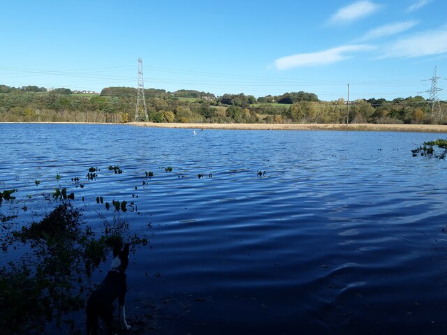
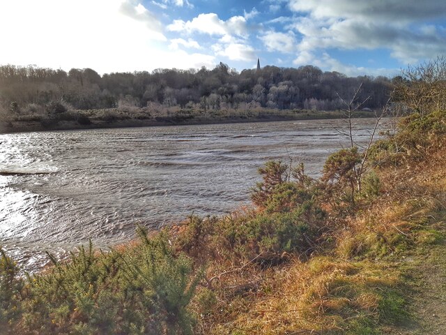
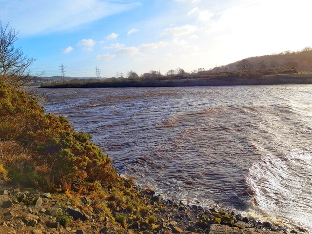
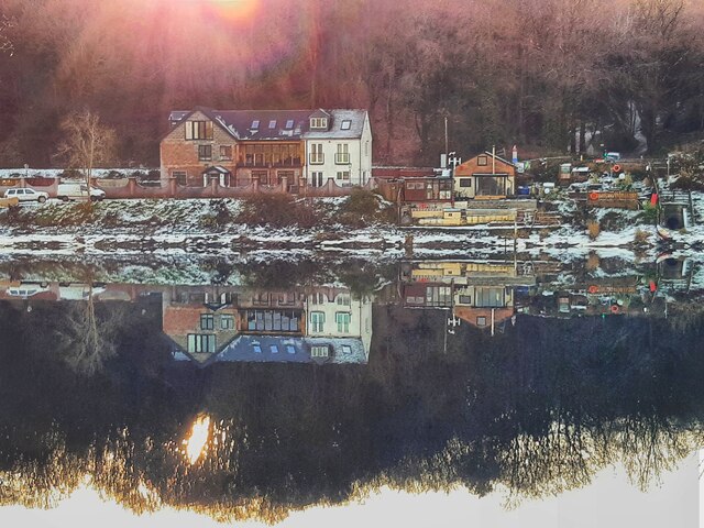
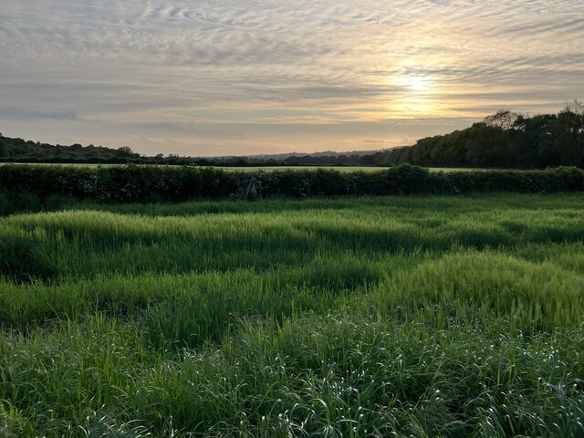
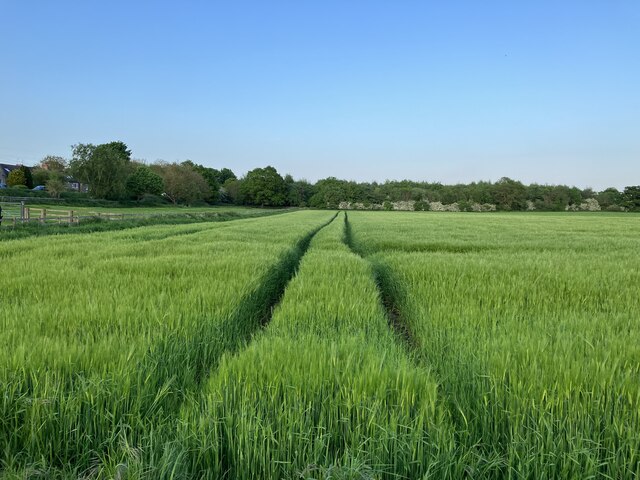
Hedgefield is a small village located in County Durham, England. Situated approximately 8 miles south of the city of Newcastle upon Tyne, it falls within the civil parish of Lamesley. The village is surrounded by picturesque countryside, with the River Team flowing nearby.

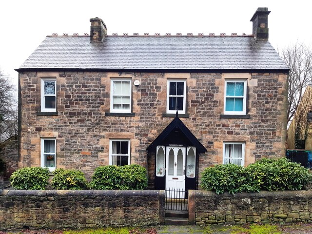
Hedgefield is primarily a residential area, characterized by its charming and peaceful atmosphere. The village is home to a mix of traditional stone-built houses and more modern properties, offering a range of housing options. Many of the houses in Hedgefield boast well-manicured gardens and stunning views of the surrounding landscapes.

Despite its rural setting, Hedgefield benefits from its close proximity to major transportation routes. The village is conveniently located near the A1(M) motorway, providing easy access to neighboring cities and towns. Additionally, Hedgefield is served by regular bus routes, allowing residents to travel to nearby locations with ease.

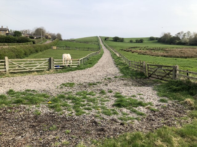
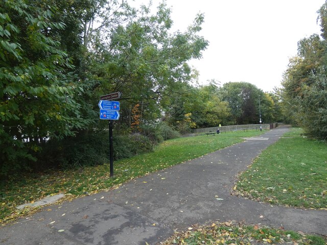
Although Hedgefield itself is relatively small, there are a few amenities within close reach. The nearby town of Gateshead offers a wider range of shopping, dining, and entertainment options. For outdoor enthusiasts, the surrounding area provides ample opportunities for walking, cycling, and exploring the countryside.

Overall, Hedgefield offers a tranquil and idyllic setting for those seeking a quieter lifestyle, while still providing convenient access to nearby urban centers. With its beautiful scenery and convenient location, it is no wonder that Hedgefield is a sought-after place to call home.

If you have any feedback on the listing, please let us know in the comments section below.
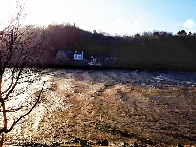
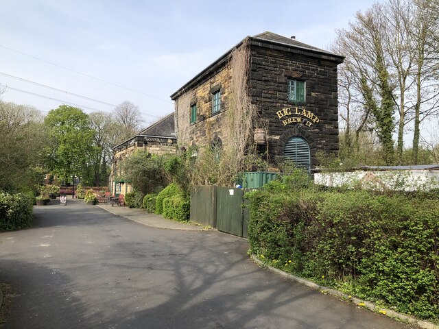
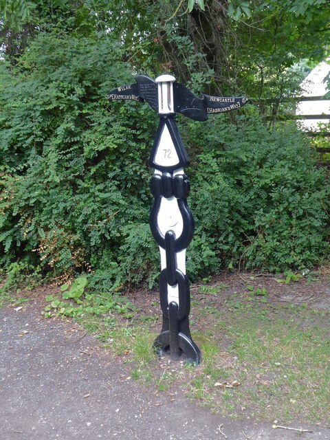
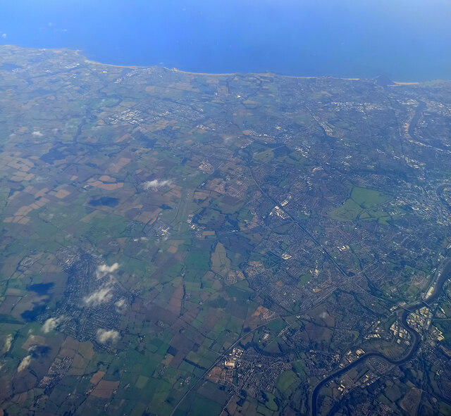
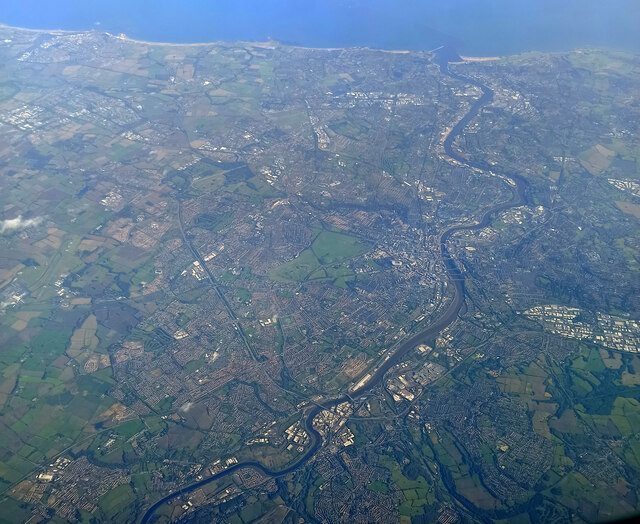
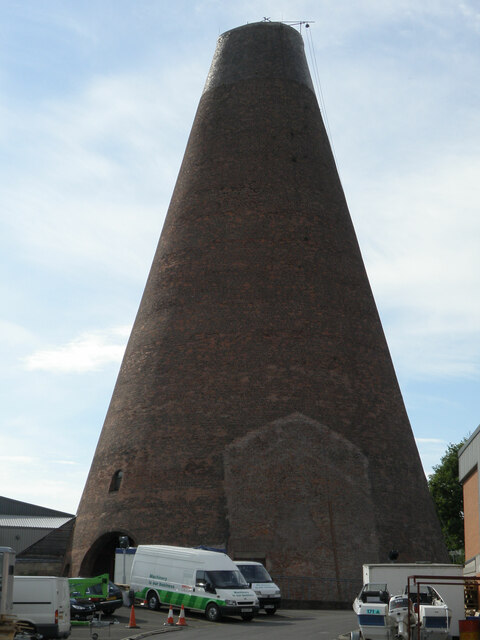
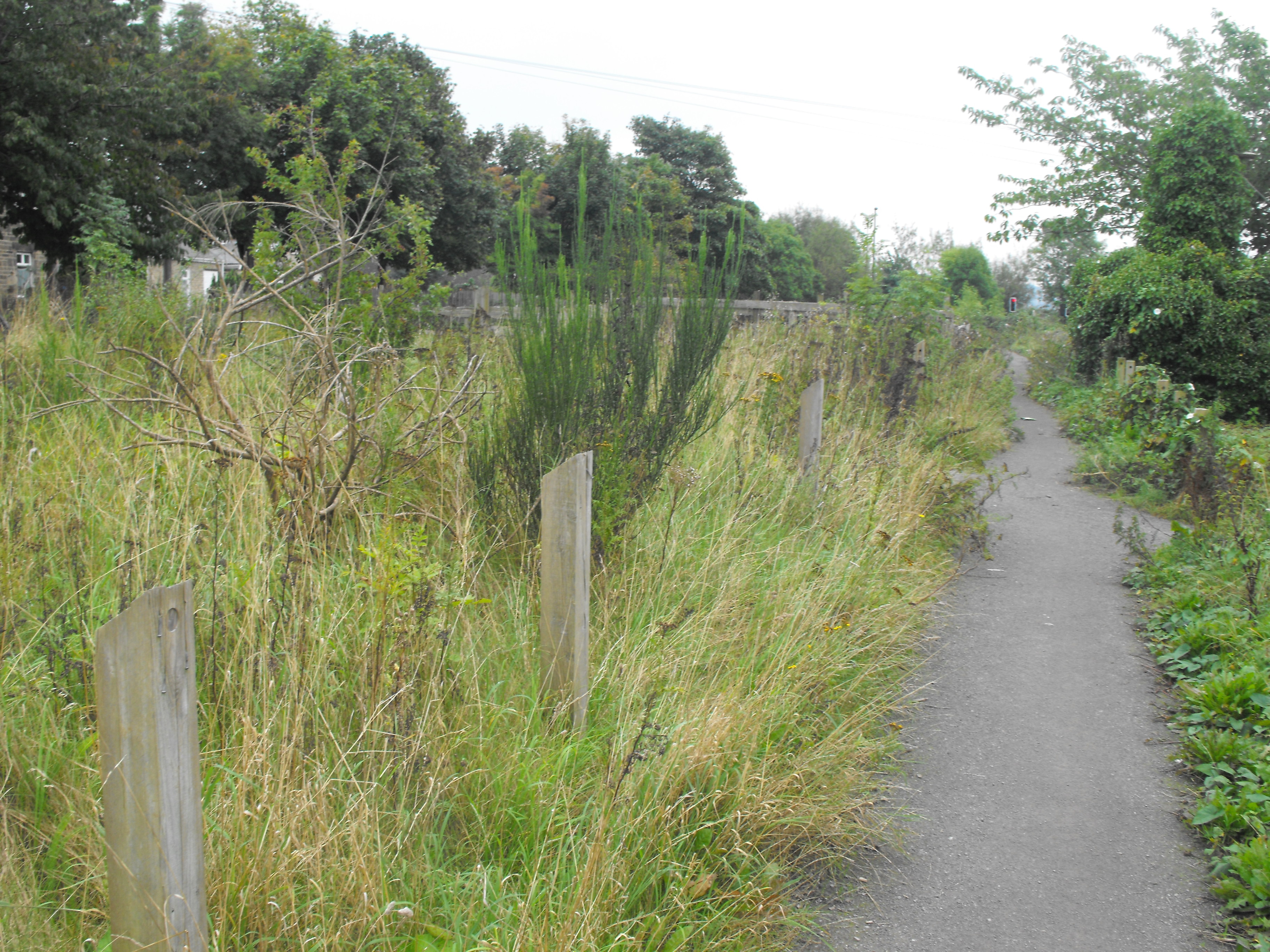
Hedgefield Images

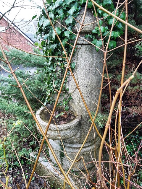
Images are sourced within 2km of 54.974865/-1.743752 or Grid Reference NZ1664. Thanks to Geograph Open Source API. All images are credited.

Drinking fountain, Newburn Institute
Warkworth House, Church Bank, Newburn Warkworth House and the nearby Warkworth Crescent in Newburn are not named for the Northumberland town of that name. Newburn manor, with all its regalities, was given by King John to Robert, son of Roger de Clavering, Baron of Warkworth. John, the last Lord Clavering, granted the reversion of it to the crown, and Edward III gave it to Henry Lord Percy, from whom it has descended to the present proprietor. 
Warkworth House, Church Bank, Newburn
Warkworth House and the nearby Warkworth Crescent in Newburn are not named for the Northumberland town of that name. Newburn manor, with all its regalities, was given by King John to Robert, son of Roger de Clavering, Baron of Warkworth. John, the last Lord Clavering, granted the reversion of it to the crown, and Edward III gave it to Henry Lord Percy, from whom it has descended to the present proprietor. 
Flooded farmland east of Heddon Haughs
Storm Malik stirs up waters of Tyne
Big Lamp Brewery The Big Lamp Brewery and The Keelman pub are housed in a former water pumping station beside the river Tyne. A link to some history of the building: <span class="nowrap"><a title="https://biglampbrewers.co.uk/keelman-pub/history-keelman-pub/" rel="nofollow ugc noopener" href="https://biglampbrewers.co.uk/keelman-pub/history-keelman-pub/">Link</a><img style="margin-left:2px;" alt="External link" title="External link - shift click to open in new window" src="https://s1.geograph.org.uk/img/external.png" width="10" height="10"/></span>
Big Lamp Brewery
The Big Lamp Brewery and The Keelman pub are housed in a former water pumping station beside the river Tyne. A link to some history of the building: LinkExternal link
Track up Rye Hill
Track up Rye Hill
National Cycle Network milepost at Newburn This milepost stands on Hadrian's Cycleway near Newburn bridge. This milepost (of the so-called "Welsh" design) was repainted as part of the 2021 repainting program. It used to be blue, see <a href="https://www.geograph.org.uk/photo/2895146">NZ1665 : A national cycle route marker</a>.
National Cycle Network milepost at Newburn
This milepost stands on Hadrian's Cycleway near Newburn bridge. This milepost (of the so-called "Welsh" design) was repainted as part of the 2021 repainting program. It used to be blue, see NZ1665 : A national cycle route marker.
Newcastle from the air The north side of the city, with Newcastle Airport visible to the left of centre.

Taken at around 37,000 feet by mobile phone, from a Prague bound flight from Edinburgh.
Newcastle from the air
The north side of the city, with Newcastle Airport visible to the left of centre. Taken at around 37,000 feet by mobile phone, from a Prague bound flight from Edinburgh.
Newcastle from the air Most of the city can be seen in this view.

Taken at around 37,000 feet by mobile phone, from a Prague bound flight from Edinburgh.
Newcastle from the air
Most of the city can be seen in this view. Taken at around 37,000 feet by mobile phone, from a Prague bound flight from Edinburgh.
Lemington, Newcastle -upon- Tyne Grade 2 listed building.
The last remaining brick-built glass cone at the site of the former glassworks at Lemington, it was one of four cones constructed in 1787.
Lemington, Newcastle -upon- Tyne
Grade 2 listed building. The last remaining brick-built glass cone at the site of the former glassworks at Lemington, it was one of four cones constructed in 1787.
Hadrian's Cycleway 
This section which is part of Sustran's National Cycle Network 72 <span class="nowrap"><a title="https://www.sustrans.org.uk/find-other-routes/hadrians-cycleway" rel="nofollow ugc noopener" href="https://www.sustrans.org.uk/find-other-routes/hadrians-cycleway">Link</a><img style="margin-left:2px;" alt="External link" title="External link - shift click to open in new window" src="https://s1.geograph.org.uk/img/external.png" width="10" height="10"/></span> follows the route of Hadrian's Wall.
Hadrian's Cycleway
This section which is part of Sustran's National Cycle Network 72 LinkExternal link follows the route of Hadrian's Wall.
Ryton Ferry House Colourful reflections in the River Tyne, the waters still, near full tide on a winter's morning with the low rising sun scattered through the trees below the spire of Ryton Church.
Ryton Ferry House
Colourful reflections in the River Tyne, the waters still, near full tide on a winter's morning with the low rising sun scattered through the trees below the spire of Ryton Church.
Late evening sun over arable land at Moor Court
Tramlines in arable crop at Moor Court
Ferndene Park, Ryton
Ryton Bowling Club, Ferndene Park
Show me another place!

Hedgefield is located at Grid Ref: NZ1664 (Lat: 54.974865, Lng: -1.743752)

Unitary Authority: Gateshead

Police Authority: Northumbria

What 3 Words

///tell.faster.cheeks. Near Newburn, Tyne & Wear

Related Wikis

Addison and Hedgefield Woods

Addison and Hedgefield Woods is a 14-hectare nature reserve situated in Blaydon, Tyne and Wear, England. The reserve encompasses diverse habitats such...

Addison and Hedgefield Reserve

Addison and Hedgefield Reserve is a woodland area located in the region of Gateshead, United Kingdom, situated to the north of the B6317 to the west of...

Newcastle University Boat Club

Newcastle University Boat Club (NUBC) is the rowing club of Newcastle University, UK. Established in March 1911 as the boat club for Armstrong College...

Newburn railway station

Newburn station was a railway station serving the village of Newburn, Newcastle upon Tyne. The station was situated at the bottom of Station Road, near...

Nearby Amenities

Located within 500m of 54.974865,-1.743752
Source: PGS
Lat/Long: 54.9785905/-1.7394672
Crossing
Crossing: uncontrolled
Crossing Island: no
Tactile Paving: yes
Lat/Long: 54.9723761/-1.7439435
Bus Stop
NEWBURN BRIDGE ROAD-W/B
Local Ref: W
Naptan AtcoCode: 410000013975
Naptan Bearing: W
Naptan CommonName: NEWBURN BRIDGE ROAD-W/B
Naptan Indicator: W
Naptan Landmark: S/E OF ELECTRICITY SUB STATION
Naptan NaptanCode: twrawgwt
Naptan Street: NEWBURN BRIDGE STREET
Naptan Verified: no
Source: naptan_import
Lat/Long: 54.9756274/-1.7405921
Bus Stop
Stella Road
Bench: no
Bin: no
Bus: yes
Covered: no
Departures Board: timetable
Lit: yes
Local Ref: W
Naptan AtcoCode: 410000013009
Naptan Bearing: NW
Naptan Indicator: NW-Bound
Naptan Landmark: Outside Hedgefield County Hotel
Naptan NaptanCode: twratpmw
Naptan Street: Stella Road
Naptan Verified: no
Official Name: Stella Road-Hedgefield Avenue
Passenger Information Display: no
Public Transport: platform
Shelter: no
Source: naptan_import
Tactile Paving: no
Lat/Long: 54.9718138/-1.7402466
Bus Stop
Stella Road-Hedgefield Terrace
Bench: no
Bin: no
Bus: yes
Check Date Shelter: 2021-03-04
Lit: yes
Local Ref: W
Naptan AtcoCode: 410000013010
Naptan Bearing: W
Naptan Indicator: W-Bound
Naptan Landmark: Outside Vicarage
Naptan NaptanCode: twratpta
Naptan Street: Stella Road
Naptan Verified: no
Public Transport: platform
Shelter: no
Source: naptan_import
Tactile Paving: no
Lat/Long: 54.9723461/-1.7445635
Bus Stop
Stella Road-High Hedgefield
Bench: no
Bin: no
Bus: yes
Departures Board: timetable
Lit: yes
Local Ref: W
Naptan AtcoCode: 410000013011
Naptan Bearing: W
Naptan Indicator: W-Bound
Naptan Landmark: Opposite High Hedgefield Terrace
Naptan NaptanCode: twratptd
Naptan Street: Stella Road
Naptan Verified: no
Public Transport: platform
Shelter: no
Source: naptan_import
Tactile Paving: no
Lat/Long: 54.9723342/-1.747159
Bus Stop
Stella Bank
Bench: no
Bin: yes
Bus: yes
Departures Board: timetable
Lit: yes
Local Ref: E
Naptan AtcoCode: 410000013017
Naptan Bearing: E
Naptan Indicator: E-Bound
Naptan Landmark: Opposite Runhead Lodge
Naptan NaptanCode: twratpwa
Naptan Street: Stella Bank
Naptan Verified: no
Official Name: Stella Bank-Runhead
Public Transport: platform
Shelter: yes
Source: naptan_import
Tactile Paving: no
Lat/Long: 54.9724783/-1.7501686
Bus Stop
Stella Road
Bench: no
Bin: no
Bus: yes
Departures Board: timetable
Lit: yes
Local Ref: E
Naptan AtcoCode: 410000013018
Naptan Bearing: E
Naptan Indicator: E-Bound
Naptan Landmark: West Of High Hedgefield Terrace
Naptan NaptanCode: twratpwd
Naptan Street: B6317
Naptan Verified: no
Official Name: Stella Road-High Hedgefield
Public Transport: platform
Shelter: no
Source: naptan_import
Tactile Paving: no
Lat/Long: 54.9724322/-1.7465611
Bus Stop
Stella Bank
Bench: yes
Bin: yes
Bus: yes
Departures Board: timetable
Lit: yes
Local Ref: W
Naptan AtcoCode: 410000013019
Naptan Bearing: E
Naptan Indicator: E-Bound
Naptan Landmark: Opposite St Hilda's Church
Naptan NaptanCode: twratpwg
Naptan Street: B6317
Naptan Verified: no
Official Name: Stella Road-Hedgefield Terrace
Public Transport: platform
Shelter: yes
Source: naptan_import
Tactile Paving: no
Lat/Long: 54.9724056/-1.7430826
Bus Stop
Stella Road-Hedgefield Avenue
Bench: yes
Bin: no
Bus: yes
Covered: no
Departures Board: timetable
Lit: yes
Local Ref: E
Naptan AtcoCode: 410000013020
Naptan Bearing: SE
Naptan Indicator: SE-Bound
Naptan Landmark: Opposite Hedgefield County Hotel
Naptan NaptanCode: twratpwj
Naptan Street: B6317
Naptan Verified: no
Public Transport: platform
Shelter: yes
Source: naptan_import
Tactile Paving: no
Lat/Long: 54.97186/-1.7397956
Bus Stop
NEWBURN BRIDGE ROAD-E/B
Local Ref: SE
Naptan AtcoCode: 410000013151
Naptan Bearing: SE
Naptan CommonName: NEWBURN BRIDGE ROAD-E/B
Naptan Indicator: SE
Naptan Landmark: OPPOSITE THE WILLOWS BUS CENTRE
Naptan NaptanCode: twrawdmj
Naptan Street: NEWBURN BRIDGE ROAD
Naptan Verified: no
Source: naptan_import
Lat/Long: 54.9752911/-1.7388133
Bus Stop
NEWBURN BRIDGE ROAD-S/B
Local Ref: S
Naptan AtcoCode: 410000013152
Naptan Bearing: S
Naptan CommonName: NEWBURN BRIDGE ROAD-S/B
Naptan Indicator: S
Naptan Landmark: OPPOSITE PARSONS HAUGH WORKS
Naptan NaptanCode: twrawdmt
Naptan Street: NEWBURN BRIDGE ROAD
Naptan Verified: no
Source: naptan_import
Lat/Long: 54.978209/-1.7460127
Bus Stop
NEWBURN BRIDGE ROAD-N/B
Local Ref: NE
Naptan AtcoCode: 410000013153
Naptan Bearing: NE
Naptan CommonName: NEWBURN BRIDGE ROAD-N/B
Naptan Indicator: NE
Naptan Landmark: OUTSIDE PARSONS HAUGH WORKS
Naptan NaptanCode: twrawdmp
Naptan Street: NWEBURN BRIDGE ROAD
Naptan Verified: no
Source: naptan_import
Lat/Long: 54.9781823/-1.7461535
Power: tower
Source: Bing
Lat/Long: 54.9790878/-1.7436328
Power: tower
Lat/Long: 54.9781245/-1.7442033
Power: tower
Source: Bing
Lat/Long: 54.9774923/-1.7407082
Power: tower
Source: Bing
Lat/Long: 54.9777333/-1.7404793
Power: tower
Source: Bing
Lat/Long: 54.9771874/-1.740636
Power: tower
Source: Bing
Lat/Long: 54.9770692/-1.7410976
Power: tower
Lat/Long: 54.9757/-1.7379315
Power: tower
Source: Bing
Lat/Long: 54.9765228/-1.7416833
Power: tower
Lat/Long: 54.97543/-1.7381319
Power: tower
Lat/Long: 54.9721959/-1.7386702
Power: tower
Source: Bing
Lat/Long: 54.9775259/-1.7446026
Power: tower
Lat/Long: 54.9716174/-1.7439608
Jack & Jo's
Addr City: Blaydon on Tyne
Addr Street: Main Road
Shop: garden_centre
Lat/Long: 54.9717541/-1.7426066
Power: tower
Lat/Long: 54.9745029/-1.7442752
Power: transformer
Voltage Primary: 400000
Voltage Secondary: 275000
Lat/Long: 54.9783914/-1.7433513
Power: transformer
Voltage: 400000;275000
Lat/Long: 54.9785945/-1.742543
Power: transformer
Voltage Primary: 400000
Voltage Secondary: 275000
Lat/Long: 54.9787317/-1.7421271
Power: transformer
Voltage Primary: 275000
Voltage Secondary: 132000
Lat/Long: 54.9766127/-1.7421352
Power: transformer
Voltage Primary: 275000
Voltage Secondary: 132000
Lat/Long: 54.9768206/-1.7419538
Restaurant
La Taverna
Addr City: Blaydon-on-Tyne
Addr Postcode: NE21 4LU
Cuisine: tapas
Lat/Long: 54.9716345/-1.7406662
Blaydon Cycle Club
Addr City: Blaydon-on-Tyne
Addr Postcode: NE21 4LU
Alt Name: BCC
Designation: Cycle Club
Leisure: sports_centre
Note: Various club meeting times check bit.ly/blaydonevents for full details or blaydon.cc for our main page
Website: http://blaydoncycling.co.uk/
Lat/Long: 54.9713761/-1.7401145
FM Feedstock Limited
Addr City: Blaydon on Tyne
Addr Street: Newburn Bridge Road
Shop: wholesale
Lat/Long: 54.9784406/-1.7456007
WRG Steel
Addr City: Blaydon on Tyne
Addr Street: Newburn Bridge Road
Man Made: works
Lat/Long: 54.9780494/-1.7458062
Natural Stockcare Ltd
Addr City: Blaydon on Tyne
Addr Housenumber: Unit 1b
Addr Street: Newburn Bridge Road
Shop: wholesale
Lat/Long: 54.9746456/-1.7374043
MGR Mot & Auto Services
Addr City: Blaydon on Tyne
Addr Housenumber: Unit 5
Addr Street: Newburn Bridge Road
Shop: car_repair
Lat/Long: 54.9746363/-1.7371238
Custom Electronics Ltd
Addr City: Blaydon on Tyne
Addr Housenumber: Unit 4
Addr Street: Newburn Bridge Road
Man Made: works
Lat/Long: 54.9745499/-1.7371807
Gre Con
Addr City: Blaydon on Tyne
Addr Housenumber: Unit 3
Addr Street: Newburn Bridge Road
Man Made: works
Lat/Long: 54.9744613/-1.7372539
Plaster Design Ltd
Addr City: Blaydon on Tyne
Addr Housenumber: Unit 2
Addr Street: Newburn Bridge Road
Man Made: works
Lat/Long: 54.9744052/-1.7373057
Wiltshire Farm Foods
Addr City: Blaydon on Tyne
Addr Housenumber: Unit 1
Addr Street: Newburn Bridge Road
Shop: wholesale
Lat/Long: 54.9743445/-1.7373423
North Eastern Industrial Supplies Ltd
Addr City: Blaydon on Tyne
Addr Housenumber: Unit 1a
Addr Street: Newburn Bridge Road
Shop: yes
Lat/Long: 54.9743072/-1.7373829
Post Box
Brand: Royal Mail
Brand Wikidata: Q638098
Brand Wikipedia: en:Royal Mail
Collection Times: Mo-Fr 09:00; Sa 07:00
Drive Through: no
Operator: Royal Mail
Operator Wikidata: Q638098
Post Box Type: wall
Ref: NE21 1D
Royal Cypher: VR
Royal Cypher Wikidata: Q33102356
Lat/Long: 54.9724537/-1.7445394
Power: transformer
Voltage: 275000
Lat/Long: 54.9781309/-1.7406705
Power: transformer
Lat/Long: 54.9775159/-1.7411815
Power: transformer
Voltage Primary: 275000
Voltage Secondary: 132000
Lat/Long: 54.9771319/-1.7416321
Power: transformer
Voltage Primary: 275000
Voltage Secondary: 132000
Lat/Long: 54.9773374/-1.7413826
Animal Boarding
Sunny Meadows Cattery
Addr Housename: Peth Lane Farm
Animal Boarding: cat
Boarding: cattery
Lat/Long: 54.976884/-1.750592
Noexit: yes
Lat/Long: 54.973141/-1.7462334
Noexit: yes
Lat/Long: 54.9731179/-1.7465231
Cafe
Little Grandma's Cafe
Lat/Long: 54.9776968/-1.7473438
Power: pole
Lat/Long: 54.9781592/-1.743727
Power: pole
Lat/Long: 54.9778104/-1.7432025
Power: transformer
Lat/Long: 54.9775048/-1.7438835
Location Transition: yes
Power: pole
Lat/Long: 54.9773799/-1.7455178
Fixme: continue
Lat/Long: 54.9776681/-1.7451763
Power: switch
Lat/Long: 54.9776304/-1.7427566
Power: switch
Lat/Long: 54.9774998/-1.7423783
The data included in this document is from www.openstreetmap.org. The data is made available under ODbL.

Have you been to Hedgefield?

Leave your review of Hedgefield below (or comments, questions and feedback).