Blackford

Settlement in Shropshire

England

Blackford

The B4364 near Hales Farm
The B4364 near Hales Farm Credit: Ian S

Blackford is a small village situated in the county of Shropshire, England. Nestled in the picturesque countryside, this rural settlement is located approximately 8 miles southeast of the town of Ludlow. With a population of around 300 residents, Blackford offers a tranquil and close-knit community environment.

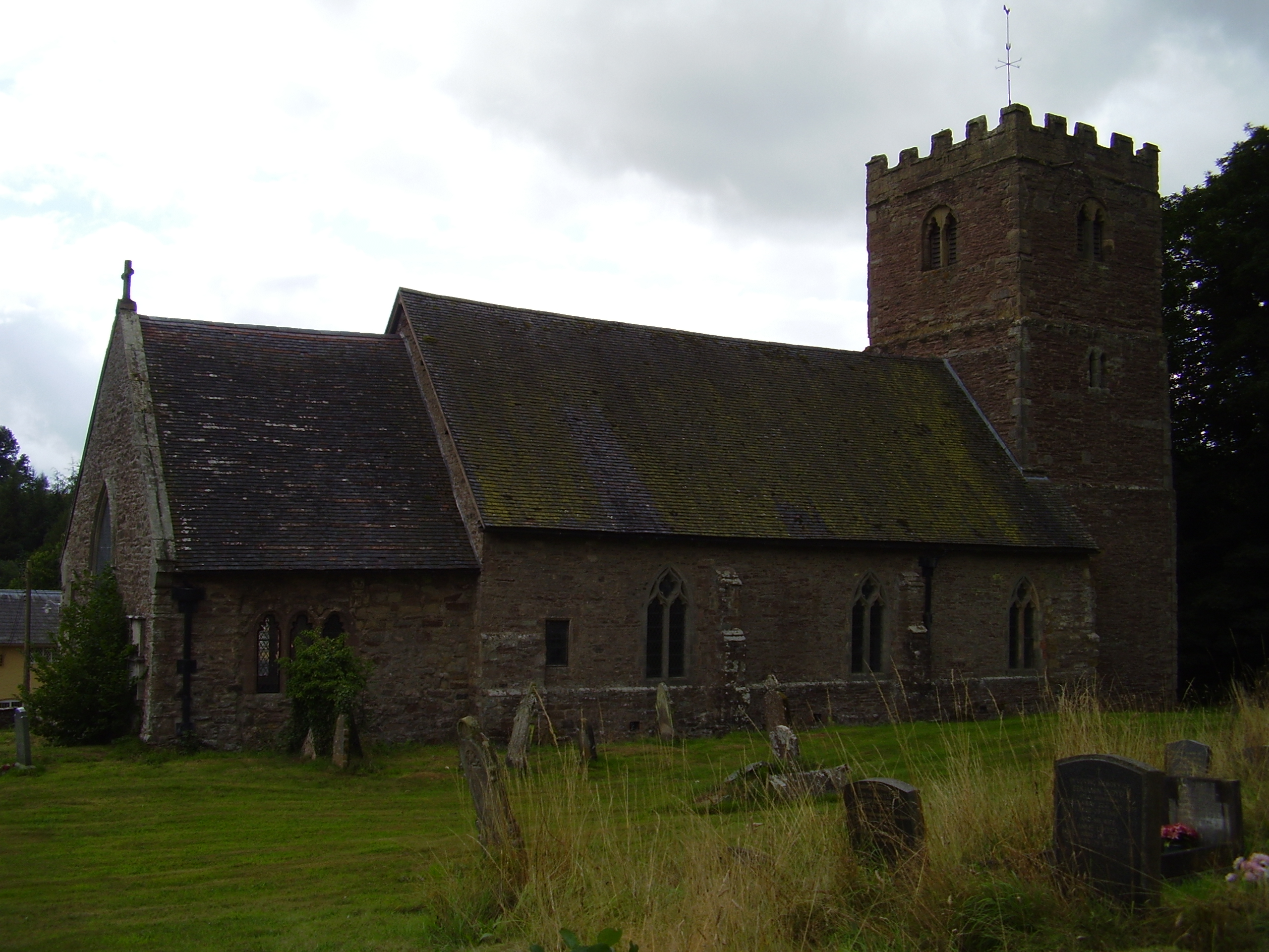
The village is characterized by its charming and historic architecture, with many traditional cottages and farmhouses dotting the landscape. The centerpiece of Blackford is the St. Michael and All Angels Church, a beautiful medieval structure that dates back to the 12th century. This architectural gem attracts both locals and visitors alike, offering a glimpse into the village's rich history.

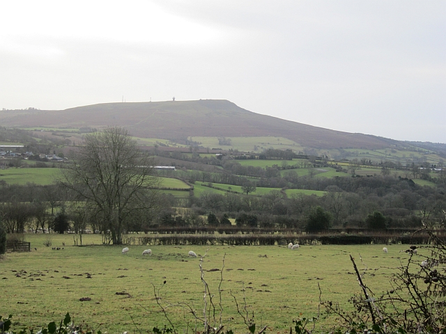
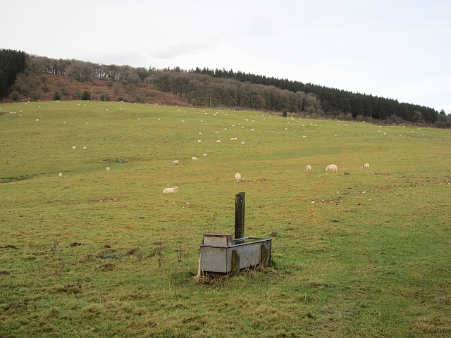
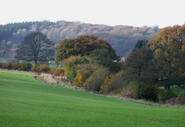
Surrounded by lush green fields and rolling hills, Blackford is an ideal destination for nature lovers and outdoor enthusiasts. The area boasts several walking and cycling routes, providing opportunities to explore the stunning countryside and enjoy the peaceful surroundings. Additionally, the nearby Clee Hills offer breathtaking panoramic views of the surrounding landscape.

Though small in size, Blackford is well-served by a range of amenities. The village has a local pub, The Blackford Inn, which serves as a social hub for residents and visitors. For everyday needs, the nearby town of Ludlow provides a wider range of shops, restaurants, and services.

Overall, Blackford is a charming and tranquil village that offers a close-knit community, historical charm, and access to the beautiful Shropshire countryside. It is a haven for those seeking a peaceful retreat away from the hustle and bustle of larger towns and cities.

If you have any feedback on the listing, please let us know in the comments section below.
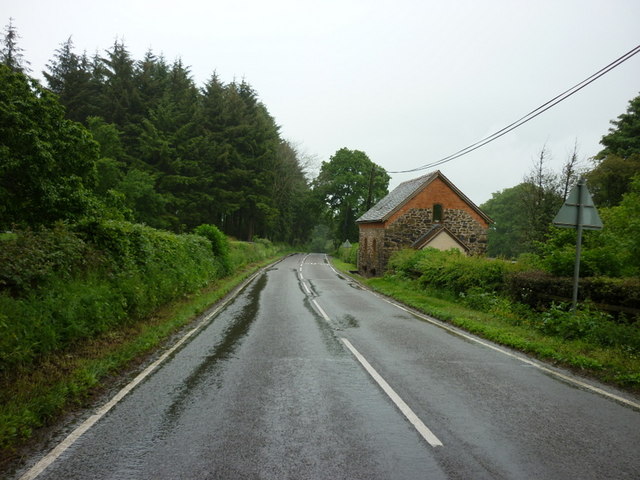
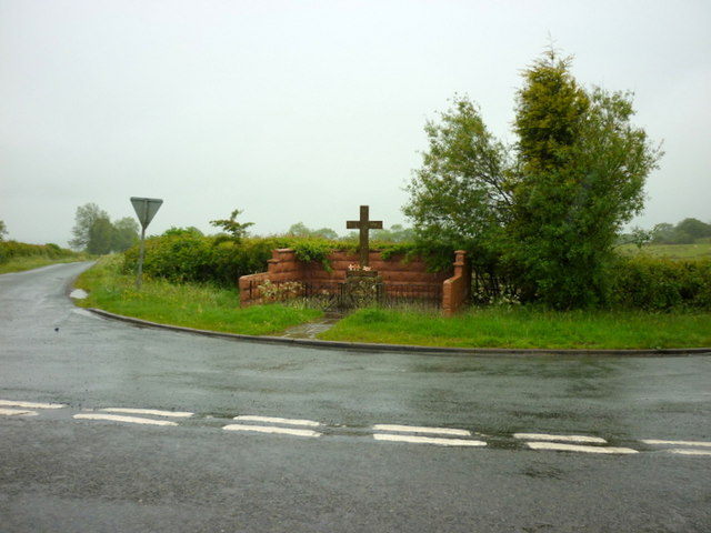
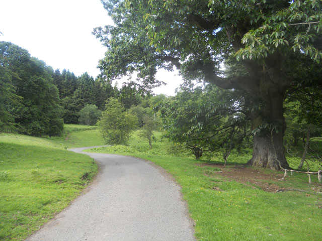
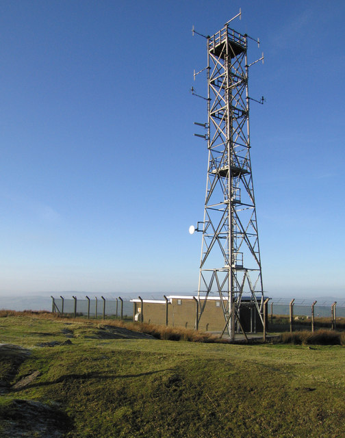
Blackford Images

Images are sourced within 2km of 52.441625/-2.59785 or Grid Reference SO5982. Thanks to Geograph Open Source API. All images are credited.

The B4364 near Hales Farm
A War Memorial at top of Loughton Lane
The Three Horseshoes public house
Road through Burwarton Park
Old workings on Clee Burf
Relay station on Clee Burf
Brown Clee wild camp A chance to squeeze in a wild camp before the WRT-Welsh Ride Thing,a three day bikepacking event in aid of the Wales Air Ambulance
Brown Clee wild camp
A chance to squeeze in a wild camp before the WRT-Welsh Ride Thing,a three day bikepacking event in aid of the Wales Air Ambulance
Wood by Cockshut The head of a dingle on one of the Ledwyche headwaters.
Wood by Cockshut
The head of a dingle on one of the Ledwyche headwaters.
Green lane It is short and leads just to a narrow field which is no doubt accessed from elsewhere.
Green lane
It is short and leads just to a narrow field which is no doubt accessed from elsewhere.
Fading hedgerows, Wheathill Fields on the Clee Hills with the hedges growing out and gradually disappearing.
Fading hedgerows, Wheathill
Fields on the Clee Hills with the hedges growing out and gradually disappearing.
Woodland, Wheathill High level arable land in the Clee Hills beside a small wood. Modern maps show the site of one of the many lost villages of the Clees to be near here. What happened to cause the wholesale depopulation of these hills and those around Bromyard and Leominster?  Wool price collapse, plague, Little Ice Age, clearance?
Woodland, Wheathill
High level arable land in the Clee Hills beside a small wood. Modern maps show the site of one of the many lost villages of the Clees to be near here. What happened to cause the wholesale depopulation of these hills and those around Bromyard and Leominster? Wool price collapse, plague, Little Ice Age, clearance?
Brown Clee wild camp A short wild camp on the Brown Clee to introduce 10 year old Luke to the delights of wild camping.his one question,are we going to Wales next time.
Brown Clee wild camp
A short wild camp on the Brown Clee to introduce 10 year old Luke to the delights of wild camping.his one question,are we going to Wales next time.
Trig point at Besom Farm View includes Besom Farm House and Besom Wood. Information on the Ordnance Survey trig point at <span class="nowrap"><a title="http://trigpointinguk.com/trigs/trig-details.php?t=6468" rel="nofollow ugc noopener" href="http://trigpointinguk.com/trigs/trig-details.php?t=6468">Link</a><img style="margin-left:2px;" alt="External link" title="External link - shift click to open in new window" src="https://s1.geograph.org.uk/img/external.png" width="10" height="10"/></span>
Trig point at Besom Farm
View includes Besom Farm House and Besom Wood. Information on the Ordnance Survey trig point at LinkExternal link
View towards Clee Hill Looking over a hedge from a lane on the slopes of Brown Clee. (Titterstone) Clee Hill has the property of changing shape from different vantage points.
View towards Clee Hill
Looking over a hedge from a lane on the slopes of Brown Clee. (Titterstone) Clee Hill has the property of changing shape from different vantage points.
Green lane A steep descent through leaf litter from Thorn Lane.
Green lane
A steep descent through leaf litter from Thorn Lane.
Old Lodge Coppice The southern end of the Brown Clee woodlands.
Old Lodge Coppice
The southern end of the Brown Clee woodlands.
A galvanised trough Drinking water for livestock in pasture on the slopes of Brown Clee.
A galvanised trough
Drinking water for livestock in pasture on the slopes of Brown Clee.
Field on the Clees A flat field on the col between the Clees.
Field on the Clees
A flat field on the col between the Clees.
Show me another place!

Blackford is located at Grid Ref: SO5982 (Lat: 52.441625, Lng: -2.59785)

Unitary Authority: Shropshire

Police Authority: West Mercia

What 3 Words

///sweetened.backpacks.realm. Near Cleobury Mortimer, Shropshire

Related Wikis

Loughton, Shropshire

Loughton is a village and former civil parish, now in the parish of Wheathill, in Shropshire, England. In 1961 the parish had a population of 48. It is...

Nordy Bank

Nordy Bank is an Iron Age hill fort on Brown Clee Hill in the Shropshire Hills Area of Outstanding Natural Beauty in South Shropshire, England. == Location... ==

Stoke St. Milborough

Stoke St. Milborough is a parish located in the south of Shropshire, England, north-east of Ludlow. The population of the civil parish at the 2011 census...

Wheathill, Shropshire

Wheathill is a village and civil parish 21 miles (34 km) south east of Shrewsbury, in the Shropshire district, in the ceremonial county of Shropshire,...

Nearby Amenities

Located within 500m of 52.441625,-2.59785
Post Box
Postal Code: SY8
Ref: SY8 27
Source: GPS Survey
Lat/Long: 52.4415946/-2.6031257
Building: yes
Lat/Long: 52.438677/-2.5940315
The data included in this document is from www.openstreetmap.org. The data is made available under ODbL.

Have you been to Blackford?

Leave your review of Blackford below (or comments, questions and feedback).