Blackford

Settlement in Cumberland Carlisle

England

Blackford

Benchmark on farm building at Wide Open Dikes Ordnance Survey cut mark benchmark levelled at 33.690m above Newlyn Datum verified 1972
Benchmark on farm building at Wide Open Dikes Credit: Roger Templeman

Blackford is a small village located in the county of Cumberland, in the northwest region of England. It lies within the district of Eden and is situated approximately 8 miles southwest of the market town of Penrith. Surrounded by picturesque countryside, Blackford is nestled within the beautiful landscape of the Lake District National Park.

The village is known for its charming rural character, with a population of around 200 residents. It features a mix of traditional stone-built houses and cottages, giving it a quaint and timeless atmosphere. The local community is close-knit and welcoming, with a strong sense of community spirit.

Blackford is surrounded by lush green fields, rolling hills, and stunning views of the nearby mountains. It is an ideal location for those who enjoy outdoor activities, such as hiking, cycling, and birdwatching. The village is also close to several popular tourist attractions, including the picturesque Ullswater Lake and the historic Lowther Castle.

In terms of amenities, Blackford has a local pub which serves as a social hub for both residents and visitors. Essential services, such as shops and schools, can be found in the nearby towns of Penrith and Shap, which are easily accessible by road.

Overall, Blackford offers a peaceful and idyllic setting for those seeking a rural lifestyle in the heart of the stunning Cumberland countryside. With its natural beauty and friendly community, it is a hidden gem for those who appreciate the tranquility and charm of village life.

If you have any feedback on the listing, please let us know in the comments section below.
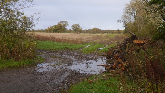
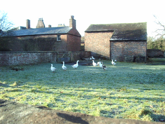
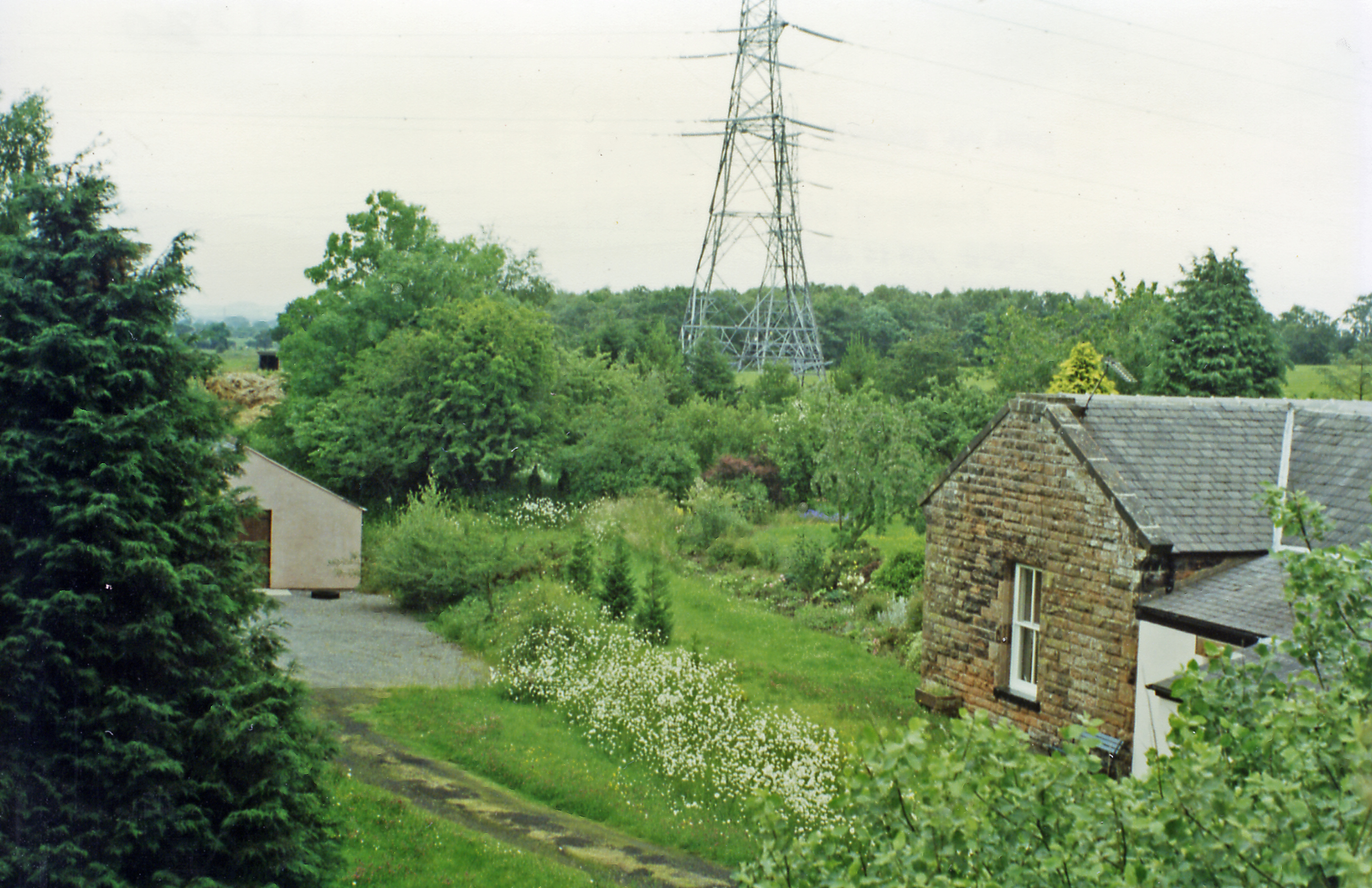
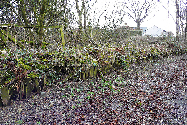
Blackford Images

Images are sourced within 2km of 54.949543/-2.944096 or Grid Reference NY3962. Thanks to Geograph Open Source API. All images are credited.

Benchmark on farm building at Wide Open Dikes Ordnance Survey cut mark benchmark levelled at 33.690m above Newlyn Datum verified 1972
Benchmark on farm building at Wide Open Dikes
Ordnance Survey cut mark benchmark levelled at 33.690m above Newlyn Datum verified 1972
Farm buildings at Wide Open Dikes There is an Ordnance Survey benchmark <a href="https://www.geograph.org.uk/photo/7092869">NY4162 : Benchmark on farm building at Wide Open Dikes</a> on the barn on the right hand side of the access road
Farm buildings at Wide Open Dikes
There is an Ordnance Survey benchmark NY4162 : Benchmark on farm building at Wide Open Dikes on the barn on the right hand side of the access road
Damaged culvert from ditch on north side of road east of Keysmount Ordnance Survey documents describe a benchmark levelled at 31.117m above Newlyn Datum verified in 1972 on a culvert at this location
Damaged culvert from ditch on north side of road east of Keysmount
Ordnance Survey documents describe a benchmark levelled at 31.117m above Newlyn Datum verified in 1972 on a culvert at this location
A path leading to The Mount Farm
Keysmount Farm
Keysmount Farm
A new build house near Wide Open Dykes
Old C Road
Old C Road
Top of the Hill
Top of the Hill
Unnamed C road
Unnamed C road
Signpost
Signpost
Minor road near Dyke Nook
Layby on the Eastbound Side of the A689 near Harker Grange
A689 Eastbound
A689 Eastbound
Layby on the A689
Layby on the A689
Layby on Eastbound A689
Towards Houghton Moss A very wet day in a wet Autumn. There was a lot of freshly cut timber here.
Towards Houghton Moss
A very wet day in a wet Autumn. There was a lot of freshly cut timber here.
Farm track It's a wet day but this was taken on higher ground surrounded by what were once wetlands, some of which have survived.
Farm track
It's a wet day but this was taken on higher ground surrounded by what were once wetlands, some of which have survived.
Keysmount On a slight rise surrounded by what would have once been marsh and moss. A glimpse of brightness at the end of a very wet day.
Keysmount
On a slight rise surrounded by what would have once been marsh and moss. A glimpse of brightness at the end of a very wet day.
Show me another place!

Blackford is located at Grid Ref: NY3962 (Lat: 54.949543, Lng: -2.944096)

Administrative County: Cumbria

District: Carlisle

Police Authority: Cumbria

What 3 Words

///rockets.punt.cries. Near Carlisle, Cumbria

Nearby Locations

Blackford

Related Wikis

Blackford, Cumbria

Blackford is a village in Cumbria, England, close to Gretna, Scotland. == Etymology == Blackford means what it says, a black ford or river-crossing. However...

Harker, Cumbria

Harker is a settlement in the parish of Rockcliffe, in the City of Carlisle district, in the county of Cumbria, England. Harker is located along the A7...

Harker railway station

Harker railway station served the settlement of Harker, Cumbria, England, between 1861 and 1969 on the Waverley Line. == History == The first station was...

Parkhouse Halt railway station

Parkhouse Halt railway station was built for the nearby RAF Kingstown (later RAF Carlisle) from 1941 to 1969 on the Waverley Line. == History == The station...

Related Videos

Houghton Hall | Christmas Model Village 2022

Houghton Hall Garden Centre at Christmas All music used from videvo.net paid for, used with permissions, royalty free and ...

Santa's talking and singing Reindeer cheer 2022, Carlisle, Cumbria, UK.

Just a little Reindeer cheer, for you all good boys and girls. Please note we are away on holiday at the present time. All videos are ...

Nearby Amenities

Located within 500m of 54.949543,-2.944096
Post Box
Post Box Type: lamp
Ref: CA6 262
Royal Cypher: EIIR
Royal Cypher Wikidata: Q33102113
Source: survey
Lat/Long: 54.9513285/-2.9428339
Bus Stop
Blackford Church
Bus: yes
Naptan AtcoCode: 090033421794
Naptan Bearing: S
Naptan CommonName: Church
Naptan Indicator: opp
Naptan Landmark: Crossroads
Naptan NaptanCode: cumatgmg
Naptan Street: A7(T)
Public Transport: platform
Ref: 90033421794
Source: NaPTAN
Lat/Long: 54.9527921/-2.9435107
Bus Stop
Blackford Church (N bound)
Naptan AtcoCode: 090033422791
Naptan Bearing: N
Naptan CommonName: Blackford Church (N bound)
Naptan Indicator: o/s
Naptan Landmark: St Johns Church
Naptan NaptanCode: cumatgmt
Naptan Street: A7(T)
Naptan Verified: no
Source: naptan_import
Lat/Long: 54.9533247/-2.9438201
Blackford
Place: hamlet
Lat/Long: 54.9519369/-2.9428963
Waste Disposal
Lat/Long: 54.9499562/-2.9412637
Give Way
Direction: backward
Lat/Long: 54.9507215/-2.943204
Information: guidepost
Tourism: information
Lat/Long: 54.9529007/-2.9419669
Power: pole
Lat/Long: 54.9459349/-2.9425145
Power: pole
Lat/Long: 54.9461112/-2.9411429
Power: pole
Lat/Long: 54.9463233/-2.9395891
Power: pole
Lat/Long: 54.9522392/-2.9378674
Power: pole
Lat/Long: 54.9495182/-2.9370138
The data included in this document is from www.openstreetmap.org. The data is made available under ODbL.

Have you been to Blackford?

Leave your review of Blackford below (or comments, questions and feedback).