Blackford
Settlement in Somerset Somerset West and Taunton
England
Blackford
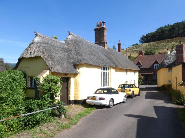
Blackford is a small village located in the county of Somerset, England. Situated in the South West region of the country, it lies approximately 5 miles north of the town of Yeovil. With a population of around 400 residents, Blackford retains its rural charm and offers a peaceful countryside setting.
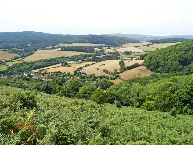
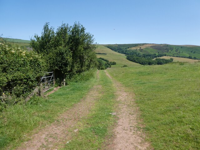
The village is surrounded by picturesque landscapes, characterized by rolling hills, meadows, and farmlands. It is nestled within the Blackford Hill, which provides stunning views of the surrounding area. The village is also close to the River Yeo, adding to its natural beauty.
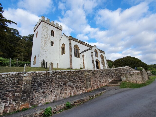
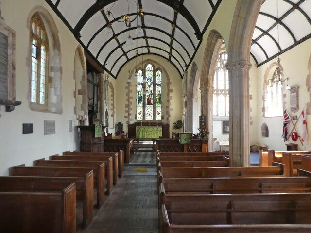
Blackford has a rich history, with evidence of human habitation dating back to the Roman period. The village is home to several historic buildings, including St. Michael's Church, which dates back to the 13th century. The church features beautiful stained glass windows and a tower that offers panoramic views of the village.
Despite its small size, Blackford has a strong sense of community. It boasts a village hall that hosts various social events and gatherings throughout the year, bringing residents together. The village pub, The Blackford Inn, serves as a popular meeting place for locals and visitors alike, providing a warm and friendly atmosphere.
The surrounding area offers plenty of opportunities for outdoor activities such as hiking, cycling, and horse riding. The nearby Ham Hill Country Park, a designated Area of Outstanding Natural Beauty, is a popular destination for nature enthusiasts.
Overall, Blackford is a charming village that combines natural beauty, historical significance, and a strong community spirit, making it an attractive place to live or visit.
If you have any feedback on the listing, please let us know in the comments section below.
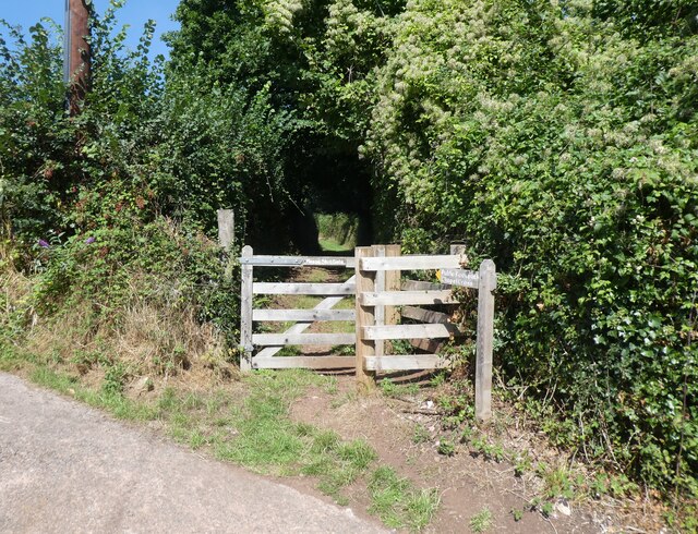
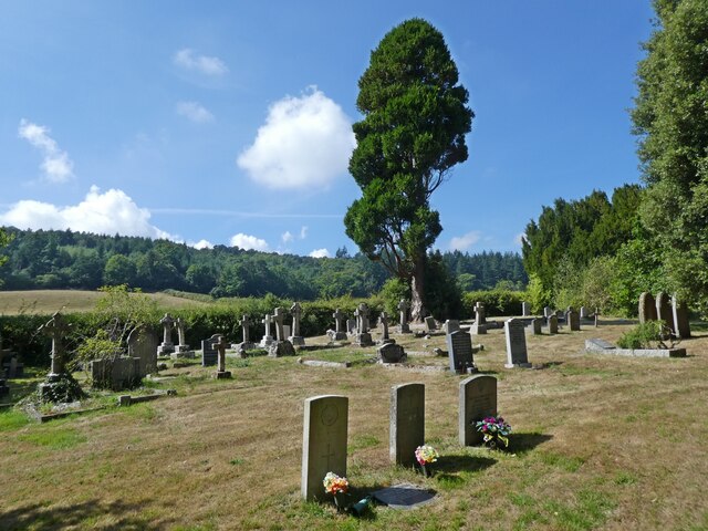
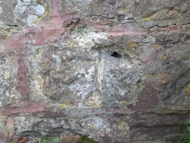
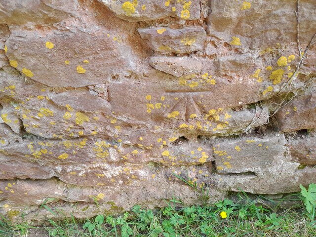
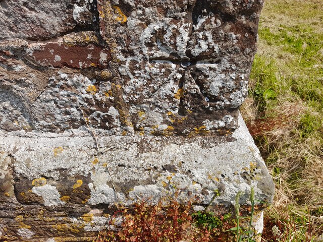
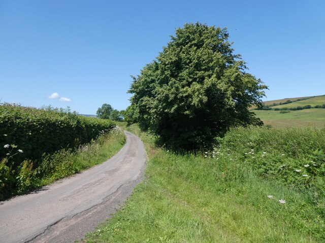
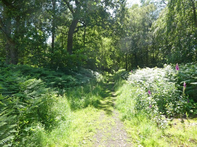
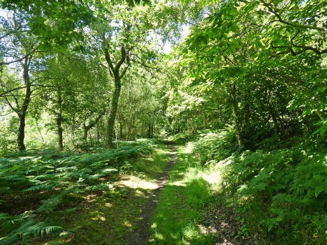
Blackford Images
Images are sourced within 2km of 51.193981/-3.5469577 or Grid Reference SS9245. Thanks to Geograph Open Source API. All images are credited.


Blackford is located at Grid Ref: SS9245 (Lat: 51.193981, Lng: -3.5469577)
Administrative County: Somerset
District: Somerset West and Taunton
Police Authority: Avon and Somerset
What 3 Words
///livid.lure.heartened. Near Porlock, Somerset
Nearby Locations
Related Wikis

Dovecot at Blackford Farm
The Dovecot At Blackford Farm in Selworthy on Exmoor within the English county of Somerset was probably built in the 11th century. It is a Grade II* listed...

Luccombe, Somerset
Luccombe or Luckham is a village and civil parish in the Exmoor National Park in the English county of Somerset. It at the foot of the moor's highest hill...

Chapel of St Leonard, Tivington
The Anglican Chapel of St Leonard in Tivington, Somerset, England was built in the mid 14th century as a chapel of ease. It is a Grade II* listed building...

Holnicote Estate
Holnicote (pronounced "Hunnicutt") in the parish of Selworthy, West Somerset, England, is a historic estate consisting of 12,420 acres (5,026 hectares...
Nearby Amenities
Located within 500m of 51.193981,-3.5469577Have you been to Blackford?
Leave your review of Blackford below (or comments, questions and feedback).