Brakeley Wood

Wood, Forest in Somerset Somerset West and Taunton

England

Brakeley Wood

All Saints' Church, Selworthy, Somerset All Saints' Church at Selworthy, Somerset. The Church also has an Ordnance Survey bench mark.
<a href="https://www.geograph.org.uk/photo/6999454">SS9146 : Ordnance Survey Bench Mark</a>
All Saints' Church, Selworthy, Somerset Credit: V1ncenze

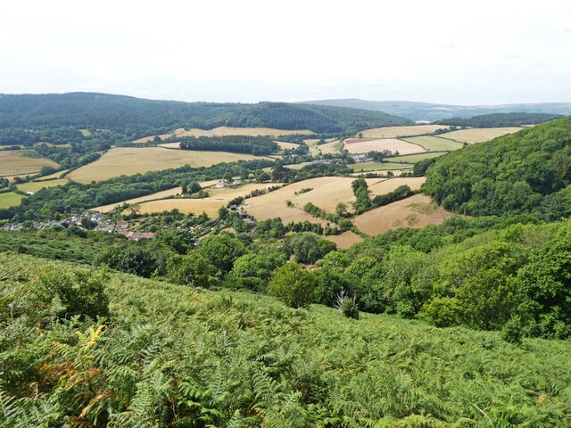
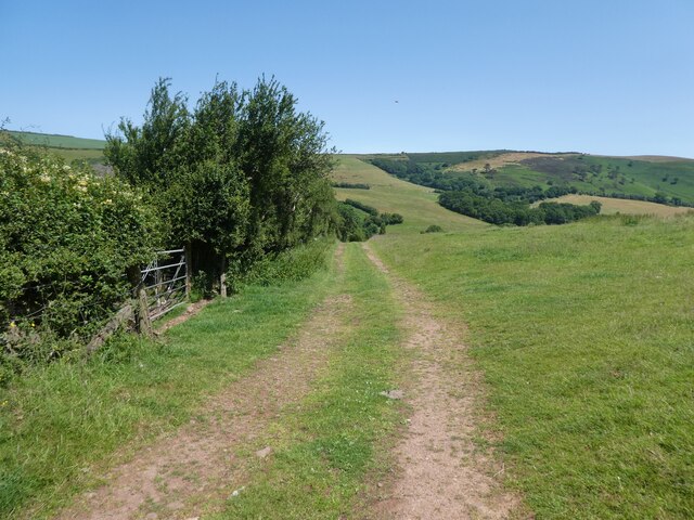
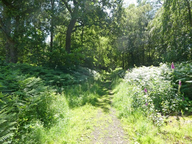
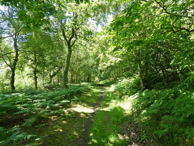
Brakeley Wood, located in Somerset, England, is a picturesque forest known for its natural beauty and tranquility. Spanning over a vast area, the wood is predominantly composed of deciduous trees, including oak, beech, and ash, creating a diverse and vibrant ecosystem.

The wood is home to a wide array of wildlife, making it a popular destination for nature enthusiasts and bird watchers. Visitors may spot various bird species, such as woodpeckers, owls, and warblers, as well as small mammals like squirrels and rabbits. The forest floor is adorned with an assortment of wildflowers and ferns, adding to the enchanting atmosphere.

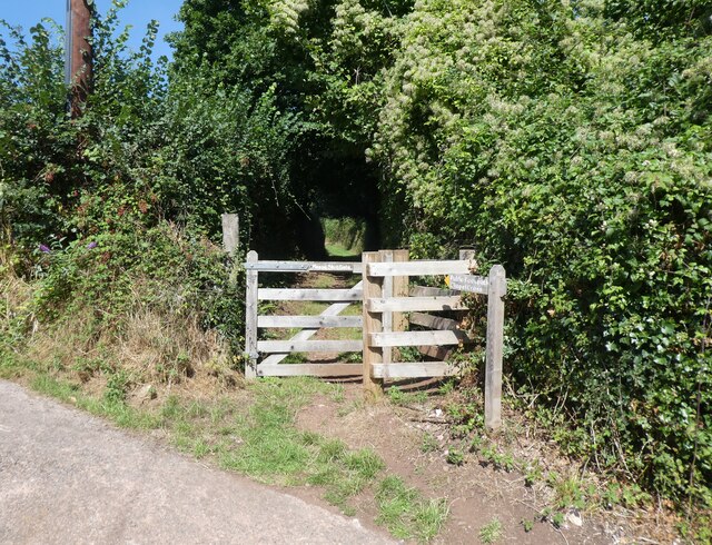
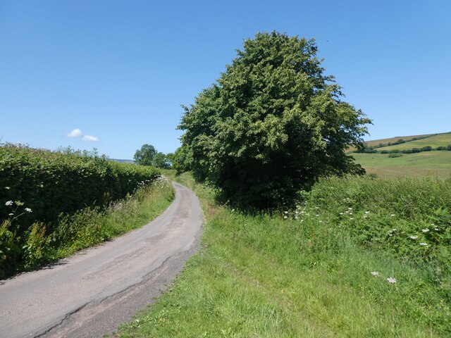
Trails wind through the wood, offering visitors the opportunity to explore its hidden corners. These paths are well-maintained and suitable for both leisurely strolls and more challenging hikes. Along the way, visitors may come across small streams and clearings, providing peaceful spots to rest and take in the surroundings.

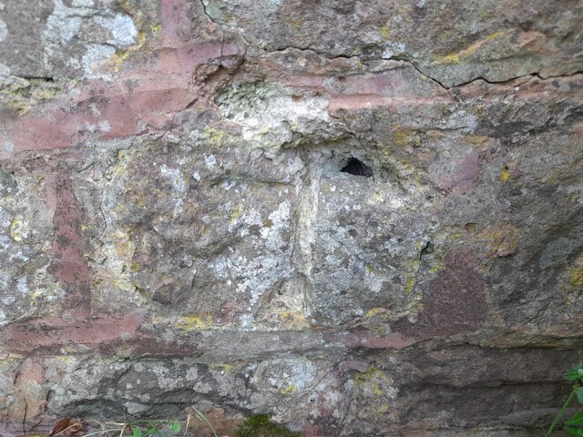
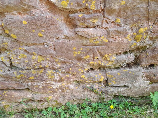
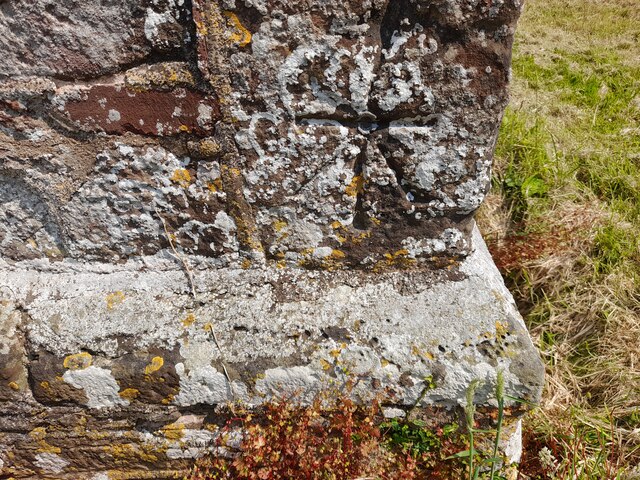
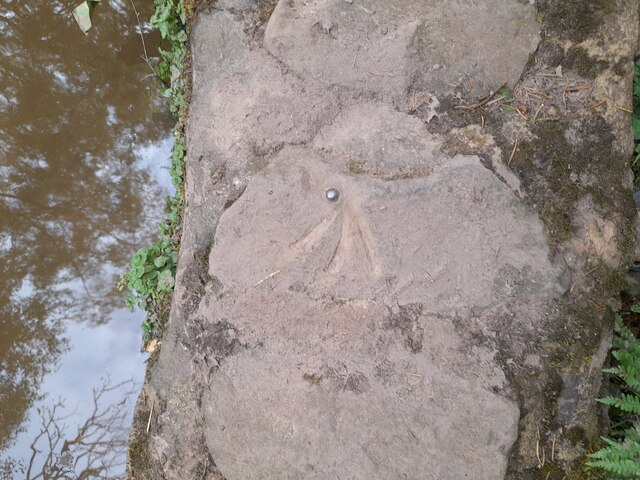
Brakeley Wood also holds historical significance, with remnants of past human activity still visible. As visitors wander through the forest, they may stumble upon ancient earthworks or old stone walls, serving as reminders of the wood's rich heritage.

The wood is open to the public year-round and welcomes visitors of all ages. Whether one seeks solace in nature, wishes to observe wildlife, or simply desires a break from the hustle and bustle of everyday life, Brakeley Wood offers a serene and captivating retreat.

If you have any feedback on the listing, please let us know in the comments section below.

Brakeley Wood Images

Images are sourced within 2km of 51.201476/-3.5439309 or Grid Reference SS9245. Thanks to Geograph Open Source API. All images are credited.

All Saints' Church, Selworthy, Somerset All Saints' Church at Selworthy, Somerset. The Church also has an Ordnance Survey bench mark.
<a href="https://www.geograph.org.uk/photo/6999454">SS9146 : Ordnance Survey Bench Mark</a>
All Saints' Church, Selworthy, Somerset
All Saints' Church at Selworthy, Somerset. The Church also has an Ordnance Survey bench mark. SS9146 : Ordnance Survey Bench Mark
Ordnance Survey Bench Mark A very warn mark located at All Saints' Church, Selworthy. These marks were used by Ordnance Survey  for mapping purposes.
<a href="https://www.geograph.org.uk/photo/6999451">SS9146 : All Saints' Church, Selworthy, Somerset</a>
Ordnance Survey Bench Mark
A very warn mark located at All Saints' Church, Selworthy. These marks were used by Ordnance Survey for mapping purposes. SS9146 : All Saints' Church, Selworthy, Somerset
View towards Headon Cross
Church Gate Cottage, Luccombe
Path to the cemetery, Luccombe
Interior, Church of the Blessed Virgin Mary, Luccombe
Cemetery, Luccombe
Cemetery, Luccombe
Ordnance Survey Cut Mark This damaged OS cut mark can be found on the wall at Chapel Cross. It marks a point 113.839m above mean sea level.
Ordnance Survey Cut Mark
This damaged OS cut mark can be found on the wall at Chapel Cross. It marks a point 113.839m above mean sea level.
Ordnance Survey Cut Mark This OS cut mark can be found on the wall of the rectory. It marks a point 84.139m above mean sea level.
Ordnance Survey Cut Mark
This OS cut mark can be found on the wall of the rectory. It marks a point 84.139m above mean sea level.
Ordnance Survey 1GL Bolt This OS Bolt can be found on the SW angle of St Mary's Church. It marks a point 90.823m above mean sea level.
Ordnance Survey 1GL Bolt
This OS Bolt can be found on the SW angle of St Mary's Church. It marks a point 90.823m above mean sea level.
Ordnance Survey Rivet This OS rivet can be found on the small dam. It marks a point 246.639m above mean sea level.
Ordnance Survey Rivet
This OS rivet can be found on the small dam. It marks a point 246.639m above mean sea level.
Back road to Selworthy
Track to Hindon Farm
Little Headon Plantation
Path, inside Little Headon Plantation
Little Headon Plantation
Ridge above Bratton
Ridge above Bratton
Track through Little Headon Plantation
Show me another place!

Brakeley Wood is located at Grid Ref: SS9245 (Lat: 51.201476, Lng: -3.5439309)

Administrative County: Somerset

District: Somerset West and Taunton

Police Authority: Avon and Somerset

What 3 Words

///showering.fewest.standards. Near Porlock, Somerset

Related Wikis

Dovecot at Blackford Farm

The Dovecot At Blackford Farm in Selworthy on Exmoor within the English county of Somerset was probably built in the 11th century. It is a Grade II* listed...

Selworthy

Selworthy is a small village and civil parish 5 kilometres (3 mi) from Minehead in Somerset, England. It is located in the National Trust's Holnicote Estate...

Chapel of St Leonard, Tivington

The Anglican Chapel of St Leonard in Tivington, Somerset, England was built in the mid 14th century as a chapel of ease. It is a Grade II* listed building...

Holnicote Estate

Holnicote (pronounced "Hunnicutt") in the parish of Selworthy, West Somerset, England, is a historic estate consisting of 12,420 acres (5,026 hectares...

Nearby Amenities

Located within 500m of 51.201476,-3.5439309
Parking
Lat/Long: 51.2012273/-3.5425014
Barrier: stile
Lat/Long: 51.2045871/-3.5414351
Barrier: stile
Lat/Long: 51.2009806/-3.5408605
Barrier: stile
Lat/Long: 51.2050622/-3.5416495
Power: pole
Lat/Long: 51.1990301/-3.5387778
Power: pole
Lat/Long: 51.1998082/-3.5420769
Power: pole
Lat/Long: 51.199899/-3.5405695
Power: pole
Lat/Long: 51.1999603/-3.5392003
Power: pole
Lat/Long: 51.2000435/-3.5376862
Power: pole
Source: bing
Lat/Long: 51.1997141/-3.543976
Power: pole
Source: bing
Lat/Long: 51.199625/-3.5457462
Power: pole
Source: bing
Lat/Long: 51.1995326/-3.547428
Power: pole
Source: bing
Lat/Long: 51.1994469/-3.5491473
Power: pole
Source: bing
Lat/Long: 51.2009679/-3.5498124
Power: pole
Source: bing
Lat/Long: 51.2013175/-3.5484633
Power: pole
Source: bing
Lat/Long: 51.2016149/-3.5472858
Power: pole
Source: bing
Lat/Long: 51.2019175/-3.5461029
Power: pole
Source: bing
Lat/Long: 51.2023595/-3.5443488
Power: pole
Source: bing
Lat/Long: 51.2028233/-3.5425168
Power: pole
Source: bing
Lat/Long: 51.2037258/-3.5420314
Poles: bipole
Power: pole
Source: bing
Lat/Long: 51.2046215/-3.5415418
The data included in this document is from www.openstreetmap.org. The data is made available under ODbL.

Have you been to Brakeley Wood?

Leave your review of Brakeley Wood below (or comments, questions and feedback).