Gore, The

Settlement in Shropshire

England

Gore, The

A War Memorial at top of Loughton Lane
A War Memorial at top of Loughton Lane Credit: Ian S

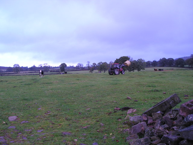
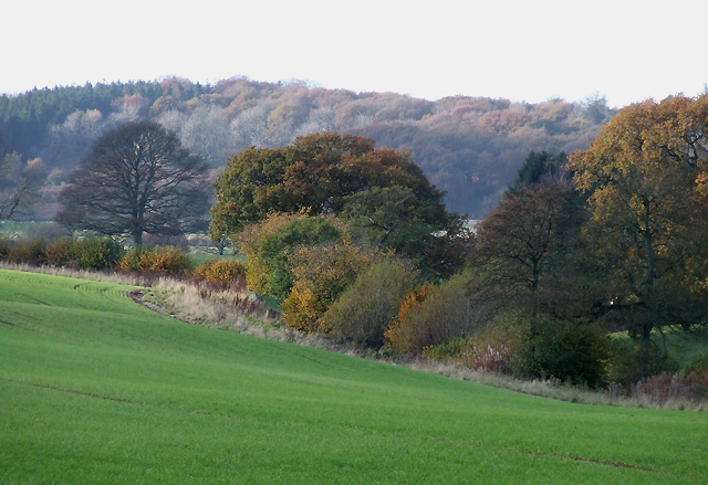
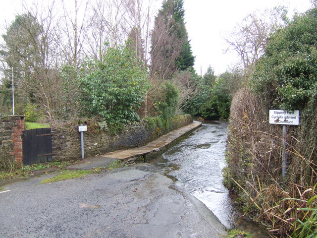
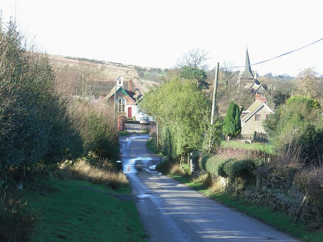
Gore is a small village located in the county of Shropshire, England. Situated in the western part of the county, it lies approximately 7 miles northwest of the county town of Shrewsbury. The village is nestled in a picturesque rural setting, surrounded by green fields and rolling hills.

Gore is a tight-knit community with a population of around 300 residents. Despite its small size, it offers a range of amenities to cater to the needs of its inhabitants. The village boasts a local pub, which serves as a hub for socializing and community events. Additionally, there is a village hall that hosts various activities and gatherings throughout the year.

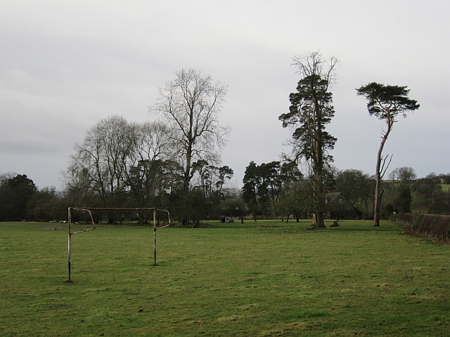
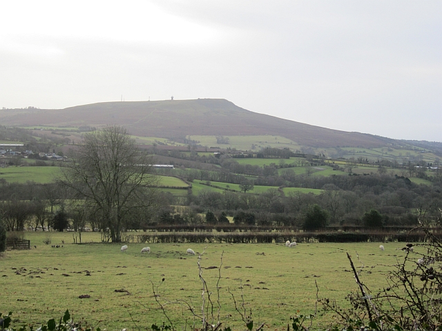
The surrounding countryside of Gore offers plenty of opportunities for outdoor pursuits. The village is surrounded by scenic walking trails, making it an ideal location for hikers and nature enthusiasts. The nearby Shropshire Hills Area of Outstanding Natural Beauty provides stunning views and a tranquil environment for those seeking a break from the hustle and bustle of city life.

Gore is well-connected to larger towns and cities in the area. The A528 road passes through the village, providing easy access to Shrewsbury and other nearby towns. Public transportation options are also available, ensuring residents can reach their destinations conveniently.

Overall, Gore is a charming and peaceful village in Shropshire, offering its residents a close-knit community, beautiful natural surroundings, and easy access to amenities and nearby towns.

If you have any feedback on the listing, please let us know in the comments section below.

Gore, The Images

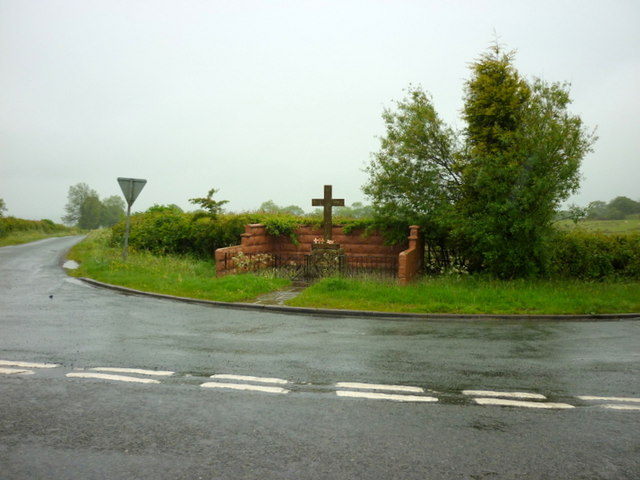
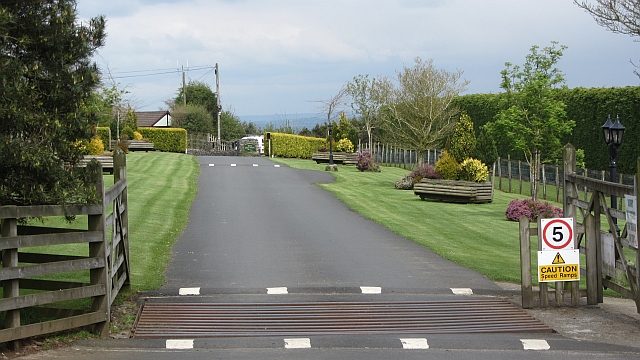
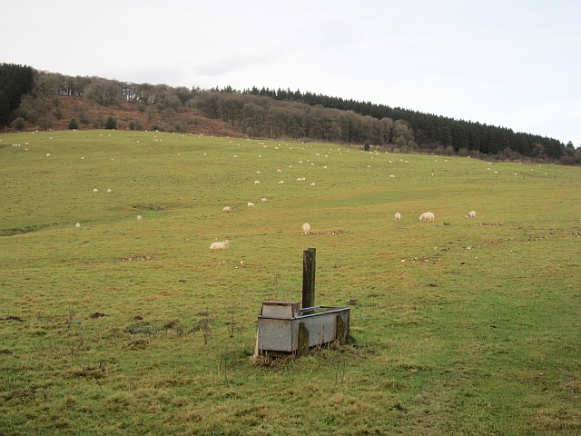
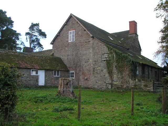
Images are sourced within 2km of 52.434428/-2.6044949 or Grid Reference SO5982. Thanks to Geograph Open Source API. All images are credited.

A War Memorial at top of Loughton Lane
Woodland, Wheathill High level arable land in the Clee Hills beside a small wood. Modern maps show the site of one of the many lost villages of the Clees to be near here. What happened to cause the wholesale depopulation of these hills and those around Bromyard and Leominster?  Wool price collapse, plague, Little Ice Age, clearance?
Woodland, Wheathill
High level arable land in the Clee Hills beside a small wood. Modern maps show the site of one of the many lost villages of the Clees to be near here. What happened to cause the wholesale depopulation of these hills and those around Bromyard and Leominster? Wool price collapse, plague, Little Ice Age, clearance?
Bromdon  Caravan Park
Bromdon Caravan Park
Trig point at Besom Farm View includes Besom Farm House and Besom Wood. Information on the Ordnance Survey trig point at <span class="nowrap"><a title="http://trigpointinguk.com/trigs/trig-details.php?t=6468" rel="nofollow ugc noopener" href="http://trigpointinguk.com/trigs/trig-details.php?t=6468">Link</a><img style="margin-left:2px;" alt="External link" title="External link - shift click to open in new window" src="https://s1.geograph.org.uk/img/external.png" width="10" height="10"/></span>
Trig point at Besom Farm
View includes Besom Farm House and Besom Wood. Information on the Ordnance Survey trig point at LinkExternal link
A galvanised trough Drinking water for livestock in pasture on the slopes of Brown Clee.
A galvanised trough
Drinking water for livestock in pasture on the slopes of Brown Clee.
Field on the Clees A flat field on the col between the Clees.
Field on the Clees
A flat field on the col between the Clees.
View to Brown Clee Hill View to southern slopes of Brown Clee Hill from a field near Besom Farm.  This is a private field, I was there during a wedding celebration.
View to Brown Clee Hill
View to southern slopes of Brown Clee Hill from a field near Besom Farm. This is a private field, I was there during a wedding celebration.
The Three Horseshoes public house
Stoke Court Farm
Stoke Court Farm
Feeding the cattle A circular bale of straw is delivered to the ring feeder in the distance on the right.
Feeding the cattle
A circular bale of straw is delivered to the ring feeder in the distance on the right.
Wood by Cockshut The head of a dingle on one of the Ledwyche headwaters.
Wood by Cockshut
The head of a dingle on one of the Ledwyche headwaters.
Green lane It is short and leads just to a narrow field which is no doubt accessed from elsewhere.
Green lane
It is short and leads just to a narrow field which is no doubt accessed from elsewhere.
Fading hedgerows, Wheathill Fields on the Clee Hills with the hedges growing out and gradually disappearing.
Fading hedgerows, Wheathill
Fields on the Clee Hills with the hedges growing out and gradually disappearing.
Goalposts, Stoke St Milborough A field beside the village hall. There were no pitch markings.
Goalposts, Stoke St Milborough
A field beside the village hall. There were no pitch markings.
View towards Clee Hill Looking over a hedge from a lane on the slopes of Brown Clee. (Titterstone) Clee Hill has the property of changing shape from different vantage points.
View towards Clee Hill
Looking over a hedge from a lane on the slopes of Brown Clee. (Titterstone) Clee Hill has the property of changing shape from different vantage points.
Green lane A steep descent through leaf litter from Thorn Lane.
Green lane
A steep descent through leaf litter from Thorn Lane.
Old Lodge Coppice The southern end of the Brown Clee woodlands.
Old Lodge Coppice
The southern end of the Brown Clee woodlands.
The Three Horseshoes "Welcome; Come and Eat and Drink in the view" is the message outside; there's probably too much information on the post of the sign for motorists to take in
The Three Horseshoes
"Welcome; Come and Eat and Drink in the view" is the message outside; there's probably too much information on the post of the sign for motorists to take in
Show me another place!

Gore, The is located at Grid Ref: SO5982 (Lat: 52.434428, Lng: -2.6044949)

Unitary Authority: Shropshire

Police Authority: West Mercia

What 3 Words

///tangling.custard.mourner. Near Ludlow, Shropshire

Related Wikis

Stoke St. Milborough

Stoke St. Milborough is a parish located in the south of Shropshire, England, north-east of Ludlow. The population of the civil parish at the 2011 census...

Loughton, Shropshire

Loughton is a village and former civil parish, now in the parish of Wheathill, in Shropshire, England. In 1961 the parish had a population of 48.It is...

Nordy Bank

Nordy Bank is an Iron Age hill fort on Brown Clee Hill in the Shropshire Hills Area of Outstanding Natural Beauty in South Shropshire, England. == Location... ==

Wheathill, Shropshire

Wheathill is a village and civil parish 21 miles (34 km) south east of Shrewsbury, in the Shropshire district, in the ceremonial county of Shropshire,...

Clee St. Margaret

Clee St. Margaret is a small village and civil parish in the Clee Hills area of Shropshire, England. It is seven miles north east (about a fifteen-minute...

Silvington

Silvington is a village and former civil parish, now in the parish of Wheathill, in Shropshire, England. The church is dedicated to Saint Michael and is...

Cleeton St Mary

Cleeton St Mary (or Cleeton) is a small village in south Shropshire, England. It lies on the northeast slope of Titterstone Clee Hill, at an elevation...

Titterstone Clee Hill

Titterstone Clee Hill, sometimes referred to as Titterstone Clee or Clee Hill, is a prominent hill in the rural English county of Shropshire, rising at...

Have you been to Gore, The?

Leave your review of Gore, The below (or comments, questions and feedback).