Quebec

Settlement in Sussex Chichester

England

Quebec

Lane passing Sunwood Farm
Lane passing Sunwood Farm Credit: Basher Eyre

Quebec, Sussex is a small town located in Kings County, New Brunswick, Canada. Situated along the Kennebecasis River, it is part of the greater Sussex area and is approximately 70 kilometers northeast of Saint John.

The town of Quebec, Sussex has a population of around 1,000 residents. It is known for its picturesque landscape, surrounded by rolling hills, dense forests, and charming rural scenery. The town offers a peaceful and tranquil environment, making it an ideal place for those seeking a quieter lifestyle away from the hustle and bustle of city living.

Quebec, Sussex is rich in history, with several historic buildings and landmarks that showcase its past. The nearby Sussex Historic District features well-preserved homes from the late 19th and early 20th centuries, offering visitors a glimpse into the town's architectural heritage.

The town also boasts a strong sense of community, with various events and festivals taking place throughout the year. The annual Sussex Flea Market and Auction draws visitors from near and far, offering a wide range of unique items and collectibles. Additionally, the nearby Sussex Drive-In Theatre is a popular spot for locals and visitors alike, providing entertainment under the stars during the summer months.

For nature lovers, Quebec, Sussex is a gateway to outdoor recreational activities. The surrounding area offers numerous trails for hiking, biking, and exploring, as well as opportunities for fishing, boating, and wildlife observation.

In summary, Quebec, Sussex is a quaint and historic town nestled in the beautiful countryside of New Brunswick. With its peaceful atmosphere, strong community spirit, and abundant natural beauty, it offers a charming retreat for residents and visitors alike.

If you have any feedback on the listing, please let us know in the comments section below.
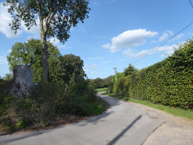
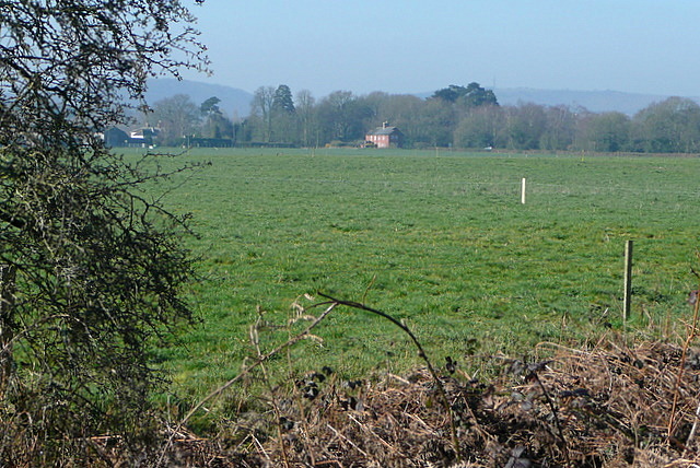
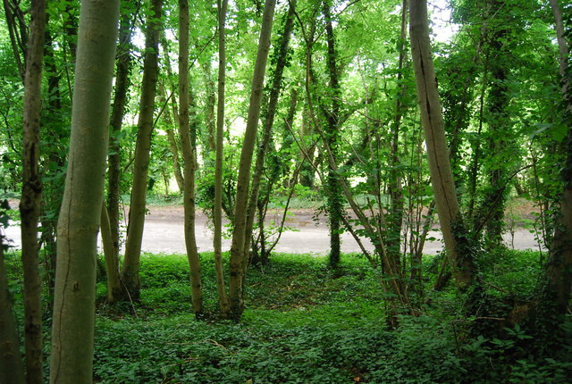
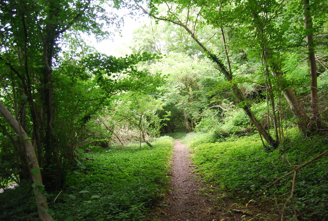
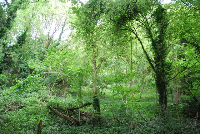
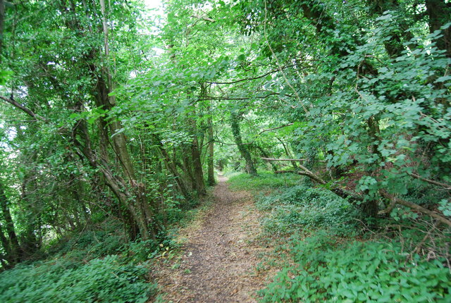
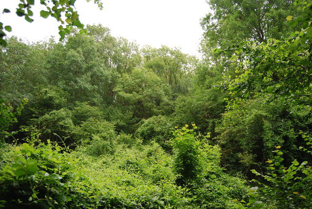
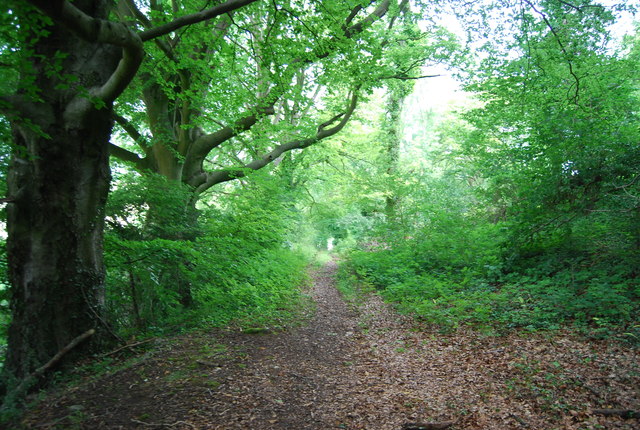
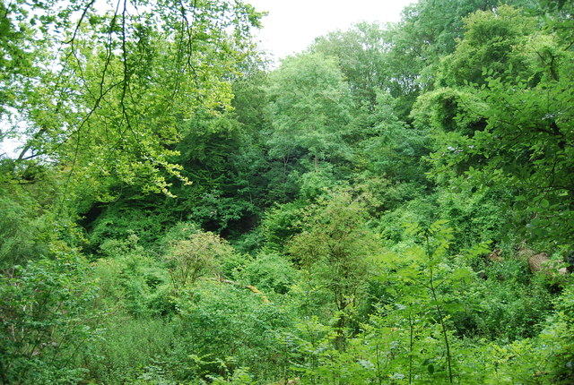
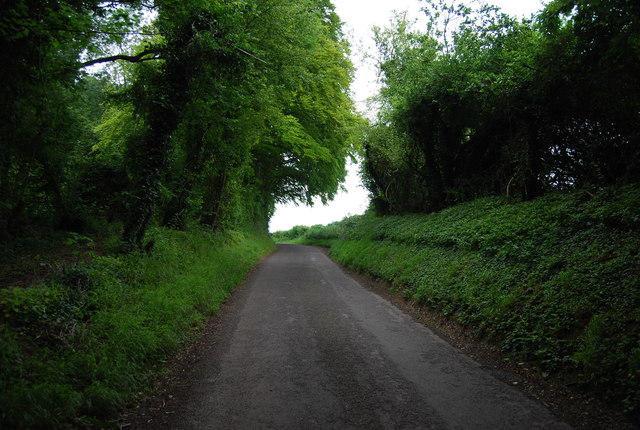
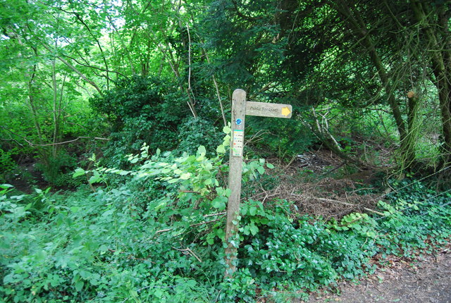
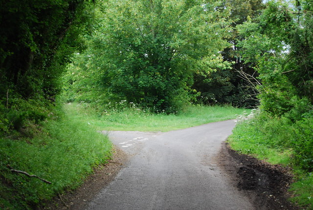
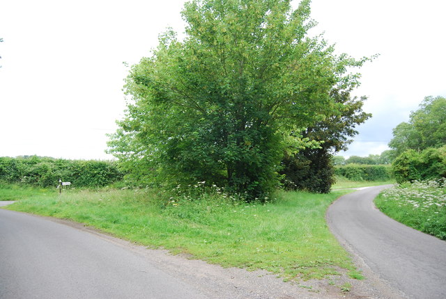
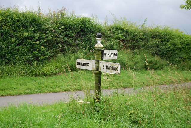
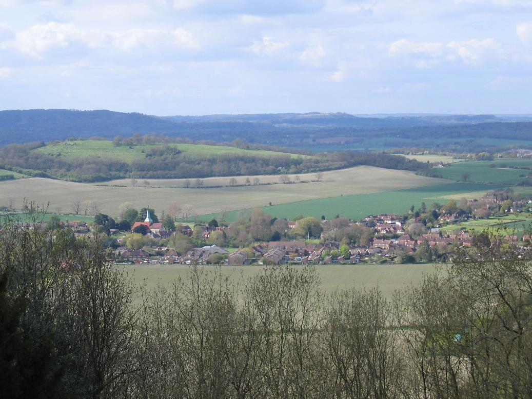
Quebec Images

Images are sourced within 2km of 50.983266/-0.9044451 or Grid Reference SU7721. Thanks to Geograph Open Source API. All images are credited.

Lane passing Sunwood Farm
View from Rival Moor Road The road to the East Hampshire District Council Offices at Penns Place goes along the edge of the housing.  To the south the view is across open farmland towards a solitary house at the southern end of Heath Road East.  I lived within 400 metres of here as a child so this visit, for a meeting, took me back.
View from Rival Moor Road
The road to the East Hampshire District Council Offices at Penns Place goes along the edge of the housing. To the south the view is across open farmland towards a solitary house at the southern end of Heath Road East. I lived within 400 metres of here as a child so this visit, for a meeting, took me back.
Little Torberry Plantation
Sussex Border Path in Little Torberry Plantation The Sussex Border Path is a footpath route nearly 150 miles long around the inland boundary of the county of Sussex. The county owes its origins to the kingdom of the South Saxons and can claim to have one of the longest inland county boundaries from Emsworth to Rye. The route was devised in 1983 and is well signed along most of the route. Website <span class="nowrap"><a title="http://www.sussexborderpath.co.uk/" rel="nofollow ugc noopener" href="http://www.sussexborderpath.co.uk/">Link</a><img style="margin-left:2px;" alt="External link" title="External link - shift click to open in new window" src="https://s1.geograph.org.uk/img/external.png" width="10" height="10"/></span> 
Map: <a title="https://www.geograph.org.uk/search.php?i=40140109&page=1&displayclass=map#i=40140109&page=1&displayclass=map&zoom=2&lat=51.03263&lon=-0.05427&layers=FTTB00000000000T" href="https://www.geograph.org.uk/search.php?i=40140109&page=1&displayclass=map#i=40140109&page=1&displayclass=map&zoom=2&lat=51.03263&lon=-0.05427&layers=FTTB00000000000T">Link</a>
Sussex Border Path in Little Torberry Plantation
The Sussex Border Path is a footpath route nearly 150 miles long around the inland boundary of the county of Sussex. The county owes its origins to the kingdom of the South Saxons and can claim to have one of the longest inland county boundaries from Emsworth to Rye. The route was devised in 1983 and is well signed along most of the route. Website LinkExternal link Map: Link
Farmland, Torberry Farm
Little Torberry Plantation
Sussex Border Path The Sussex Border Path is a footpath route nearly 150 miles long around the inland boundary of the county of Sussex. The county owes its origins to the kingdom of the South Saxons and can claim to have one of the longest inland county boundaries from Emsworth to Rye. The route was devised in 1983 and is well signed along most of the route. Website <span class="nowrap"><a title="http://www.sussexborderpath.co.uk/" rel="nofollow ugc noopener" href="http://www.sussexborderpath.co.uk/">Link</a><img style="margin-left:2px;" alt="External link" title="External link - shift click to open in new window" src="https://s1.geograph.org.uk/img/external.png" width="10" height="10"/></span> 
Map: <a title="https://www.geograph.org.uk/search.php?i=40140109&page=1&displayclass=map#i=40140109&page=1&displayclass=map&zoom=2&lat=51.03263&lon=-0.05427&layers=FTTB00000000000T" href="https://www.geograph.org.uk/search.php?i=40140109&page=1&displayclass=map#i=40140109&page=1&displayclass=map&zoom=2&lat=51.03263&lon=-0.05427&layers=FTTB00000000000T">Link</a>
Sussex Border Path
The Sussex Border Path is a footpath route nearly 150 miles long around the inland boundary of the county of Sussex. The county owes its origins to the kingdom of the South Saxons and can claim to have one of the longest inland county boundaries from Emsworth to Rye. The route was devised in 1983 and is well signed along most of the route. Website LinkExternal link Map: Link
Sussex Border Path in Torberry Copse
Woodland Torberry Hill
Sussex Border Path The Sussex Border Path is a footpath route nearly 150 miles long around the inland boundary of the county of Sussex. The county owes its origins to the kingdom of the South Saxons and can claim to have one of the longest inland county boundaries from Emsworth to Rye. The route was devised in 1983 and is well signed along most of the route. Website <span class="nowrap"><a title="http://www.sussexborderpath.co.uk/" rel="nofollow ugc noopener" href="http://www.sussexborderpath.co.uk/">Link</a><img style="margin-left:2px;" alt="External link" title="External link - shift click to open in new window" src="https://s1.geograph.org.uk/img/external.png" width="10" height="10"/></span> 
Map: <a title="https://www.geograph.org.uk/search.php?i=40140109&page=1&displayclass=map#i=40140109&page=1&displayclass=map&zoom=2&lat=51.03263&lon=-0.05427&layers=FTTB00000000000T" href="https://www.geograph.org.uk/search.php?i=40140109&page=1&displayclass=map#i=40140109&page=1&displayclass=map&zoom=2&lat=51.03263&lon=-0.05427&layers=FTTB00000000000T">Link</a>
Sussex Border Path
The Sussex Border Path is a footpath route nearly 150 miles long around the inland boundary of the county of Sussex. The county owes its origins to the kingdom of the South Saxons and can claim to have one of the longest inland county boundaries from Emsworth to Rye. The route was devised in 1983 and is well signed along most of the route. Website LinkExternal link Map: Link
Wooded Torberry Hill
Sussex Border Path The Sussex Border Path is a footpath route nearly 150 miles long around the inland boundary of the county of Sussex. The county owes its origins to the kingdom of the South Saxons and can claim to have one of the longest inland county boundaries from Emsworth to Rye. The route was devised in 1983 and is well signed along most of the route. Website <span class="nowrap"><a title="http://www.sussexborderpath.co.uk/" rel="nofollow ugc noopener" href="http://www.sussexborderpath.co.uk/">Link</a><img style="margin-left:2px;" alt="External link" title="External link - shift click to open in new window" src="https://s1.geograph.org.uk/img/external.png" width="10" height="10"/></span> 
Map: <a title="https://www.geograph.org.uk/search.php?i=40140109&page=1&displayclass=map#i=40140109&page=1&displayclass=map&zoom=2&lat=51.03263&lon=-0.05427&layers=FTTB00000000000T" href="https://www.geograph.org.uk/search.php?i=40140109&page=1&displayclass=map#i=40140109&page=1&displayclass=map&zoom=2&lat=51.03263&lon=-0.05427&layers=FTTB00000000000T">Link</a>
Sussex Border Path
The Sussex Border Path is a footpath route nearly 150 miles long around the inland boundary of the county of Sussex. The county owes its origins to the kingdom of the South Saxons and can claim to have one of the longest inland county boundaries from Emsworth to Rye. The route was devised in 1983 and is well signed along most of the route. Website LinkExternal link Map: Link
Woodland on Torberry Hill
Lane south of Canada Corner
Signpost, Sussex Border Path
Approaching Canada Corner
Canada Corner
Canada Corner
Road sign, Canada Corner
Show me another place!

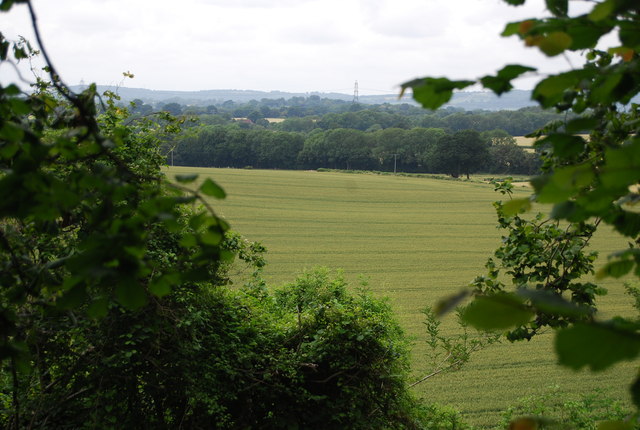
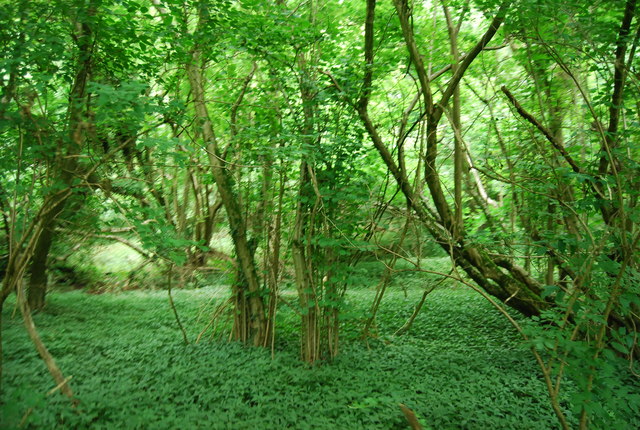
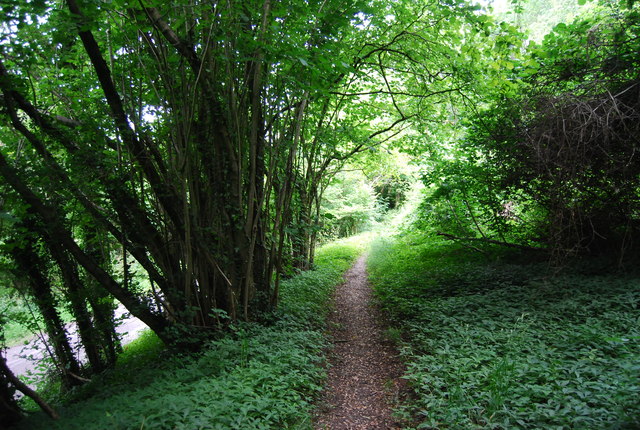
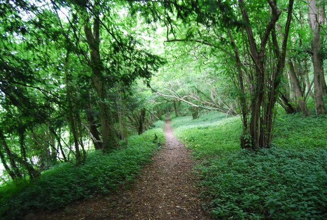
Quebec is located at Grid Ref: SU7721 (Lat: 50.983266, Lng: -0.9044451)

Administrative County: West Sussex

District: Chichester

Police Authority: Sussex

What 3 Words

///stocky.nourished.pies. Near South Harting, West Sussex

Related Wikis

Nursted

Nursted is a hamlet in the East Hampshire district of Hampshire, England. It is in the civil parish of Buriton. It is 1.8 miles (2.7 km) southeast of...

Hurst, West Sussex

Hurst is a hamlet in West Sussex, England. It lies on the Hampshire-Sussex border on the B2146 road. Its nearest town is Petersfield, approximately 2 miles...

Torberry Hill

Torberry Hill (also spelled Tarberry Hill and Torbery Hill) is an Iron Age hillfort in the county of West Sussex, in southern England. It is a Scheduled...

West Harting

West Harting is a hamlet in the Chichester district of West Sussex, England. At the 2011 Census the population of the hamlet was included in the civil...

South Harting

South Harting is a village within Harting civil parish in the Chichester district of West Sussex, England. It lies on the B2146 road, 4 miles (6.4 km)...

Harting

Harting is a civil parish in the Chichester District of West Sussex, England. It is situated on the northern flank of the South Downs, around 3.5 miles...

Dureford Abbey

Dureford Abbey, in Sussex, England, was a Premonstratensian monastery. It was founded by Henry Hussey who in 1161 granted land to the abbot of Welbeck...

East Hampshire

East Hampshire is a local government district in Hampshire, England. Its council is based in the town of Petersfield, although the largest town is Alton...

Nearby Amenities

Located within 500m of 50.983266,-0.9044451
Landuse: farm
Note Retag: CS #48756035
Lat/Long: 50.9835/-0.910395
The data included in this document is from www.openstreetmap.org. The data is made available under ODbL.

Have you been to Quebec?

Leave your review of Quebec below (or comments, questions and feedback).