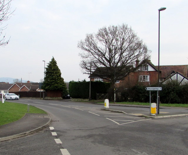
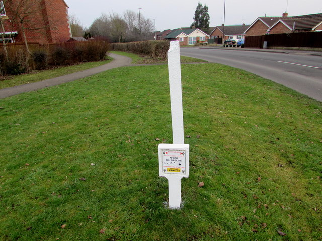
Quedgeley
Settlement in Gloucestershire Gloucester
England
Quedgeley
Quedgeley is a suburban village located in the county of Gloucestershire, England. Situated approximately 3 miles southwest of Gloucester city center, it is part of the Quedgeley and Kingsway ward. The village is nestled in the Severn Vale, bordered by the A38 road to the east and the M5 motorway to the west.
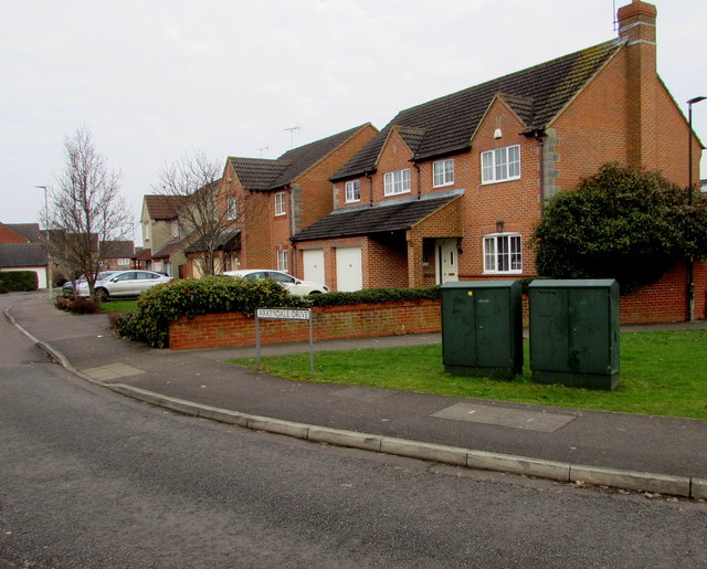
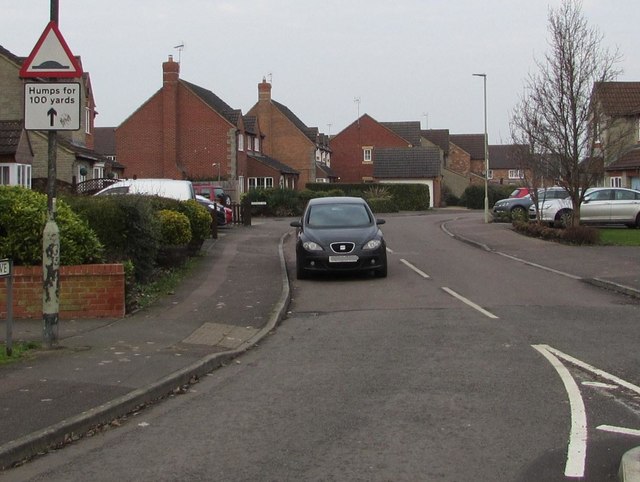
Originally a small agricultural community, Quedgeley has experienced significant growth since the 1960s, transforming into a thriving residential area. It now boasts a population of over 17,000 residents. The village offers a mix of housing options, ranging from modern developments to traditional cottages, catering to a diverse range of needs and preferences.
Quedgeley benefits from a variety of amenities and services, including several primary schools, a secondary school, and a modern leisure center. The village also features a retail park, which houses a range of shops, supermarkets, and restaurants, providing convenient access to everyday essentials.
Nature enthusiasts can explore the nearby Robinswood Hill Country Park, which offers stunning views of the surrounding countryside. The park provides opportunities for outdoor activities such as walking, cycling, and picnicking.
Transportation links in Quedgeley are excellent, with regular bus services connecting the village to Gloucester and nearby towns. The M5 motorway is easily accessible, providing convenient routes to Bristol, Birmingham, and the South West. Gloucester railway station, located just a few miles away, offers direct train connections to major cities such as London and Cardiff.
Overall, Quedgeley offers a pleasant suburban lifestyle with a range of amenities, good transport links, and beautiful natural surroundings.
If you have any feedback on the listing, please let us know in the comments section below.
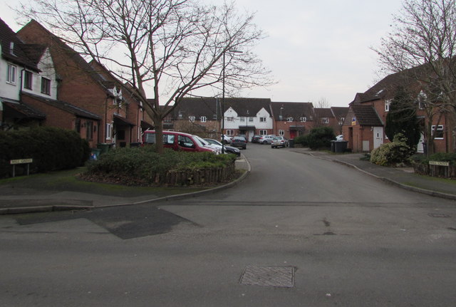
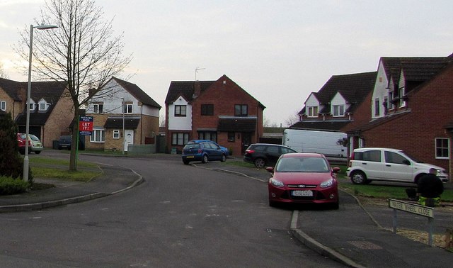
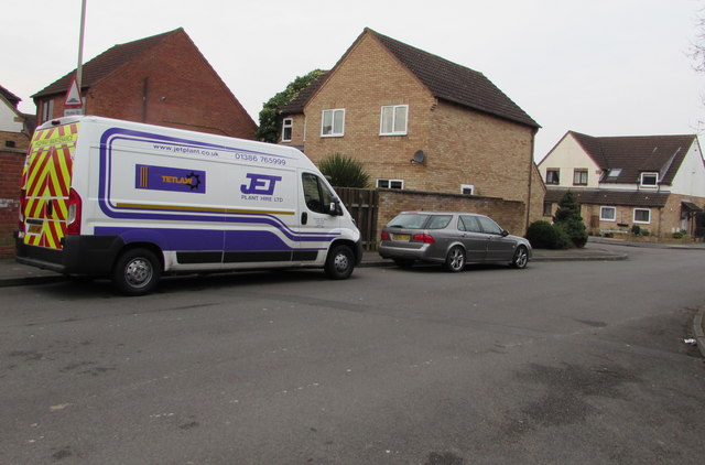
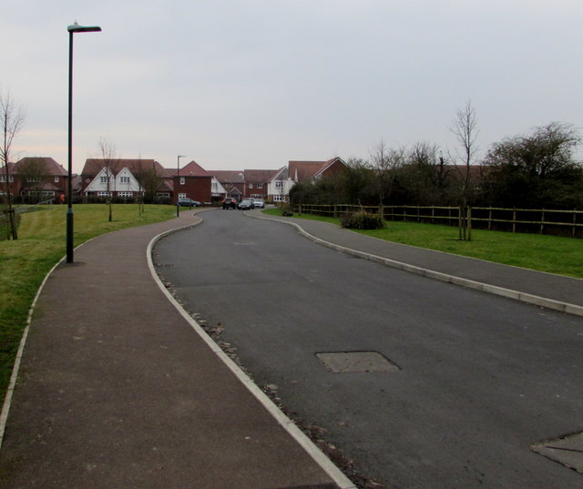
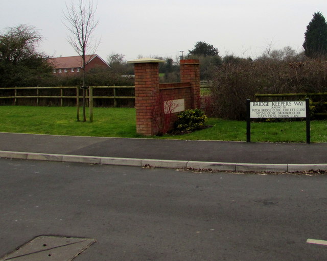
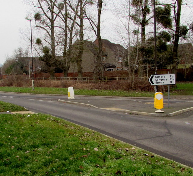
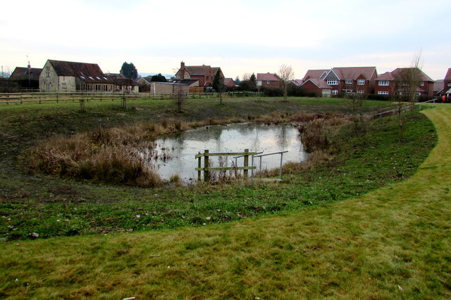
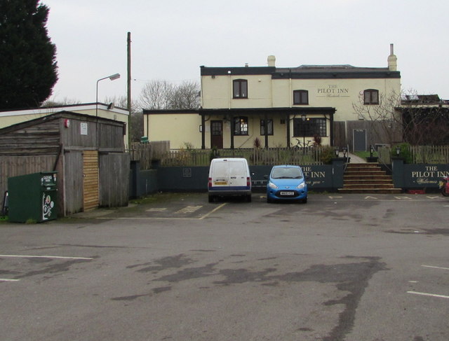
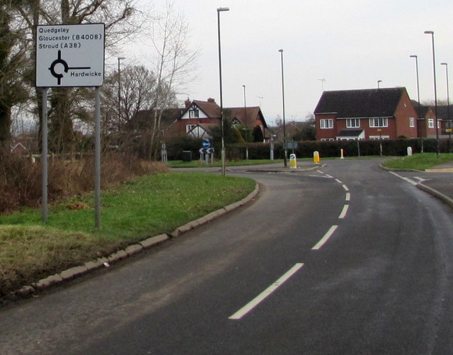
Quedgeley Images
Images are sourced within 2km of 51.825385/-2.280476 or Grid Reference SO8014. Thanks to Geograph Open Source API. All images are credited.
Quedgeley is located at Grid Ref: SO8014 (Lat: 51.825385, Lng: -2.280476)
Administrative County: Gloucestershire
District: Gloucester
Police Authority: Gloucestershire
What 3 Words
///farm.froth.online. Near Gloucester, Gloucestershire
Related Wikis
Quedgeley
Quedgeley is a town and former civil parish in the city of Gloucester in Gloucestershire, England. A thin strip of land between the Severn and the Gloucester...
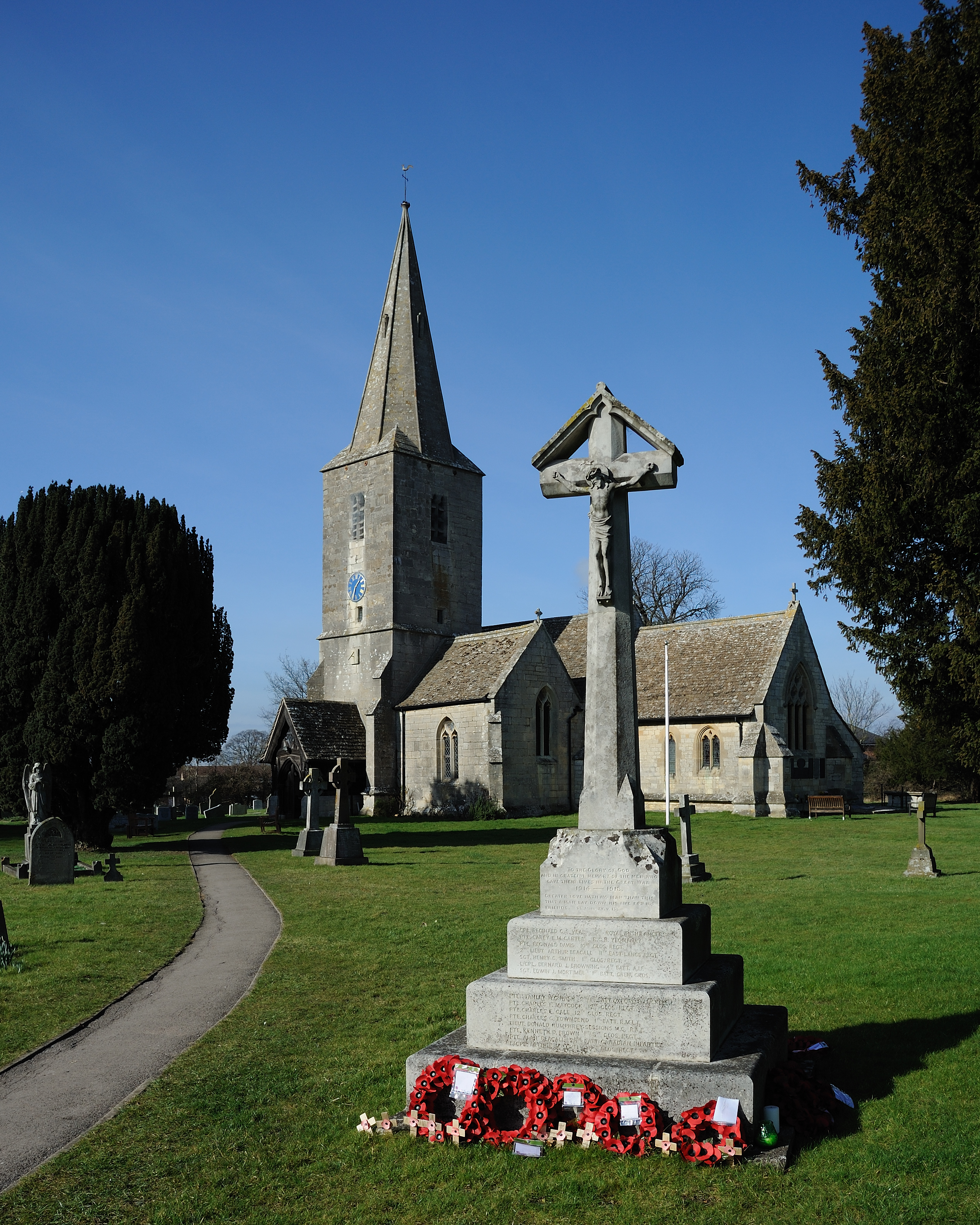
St James Church, Quedgeley
St James Church is a Church of England church in School Lane, Quedgeley, Gloucester, Gloucestershire, England. It was designated as a Grade II listed building...

The Little Thatch
The Little Thatch (also known as The Thatch Inn) is a 14th-century timber-framed building at 141 Bristol Road, Quedgeley, Gloucester. It is now used as...

Severn Vale School
Severn Vale School is a secondary school with academy status in Quedgeley, Gloucester, England. Its students are aged from 11 to 16. The headmaster is...
Kingsway Village
Kingsway Village is an area adjacent to the town of Quedgeley and suburb of Tuffley in Gloucester, in the ceremonial county of Gloucestershire, England...

South West Snooker Academy
The South West Snooker Academy (or the Capital Venue) is located in Gloucester Business Park. It was purposely built for snooker in July 2010 but is now...
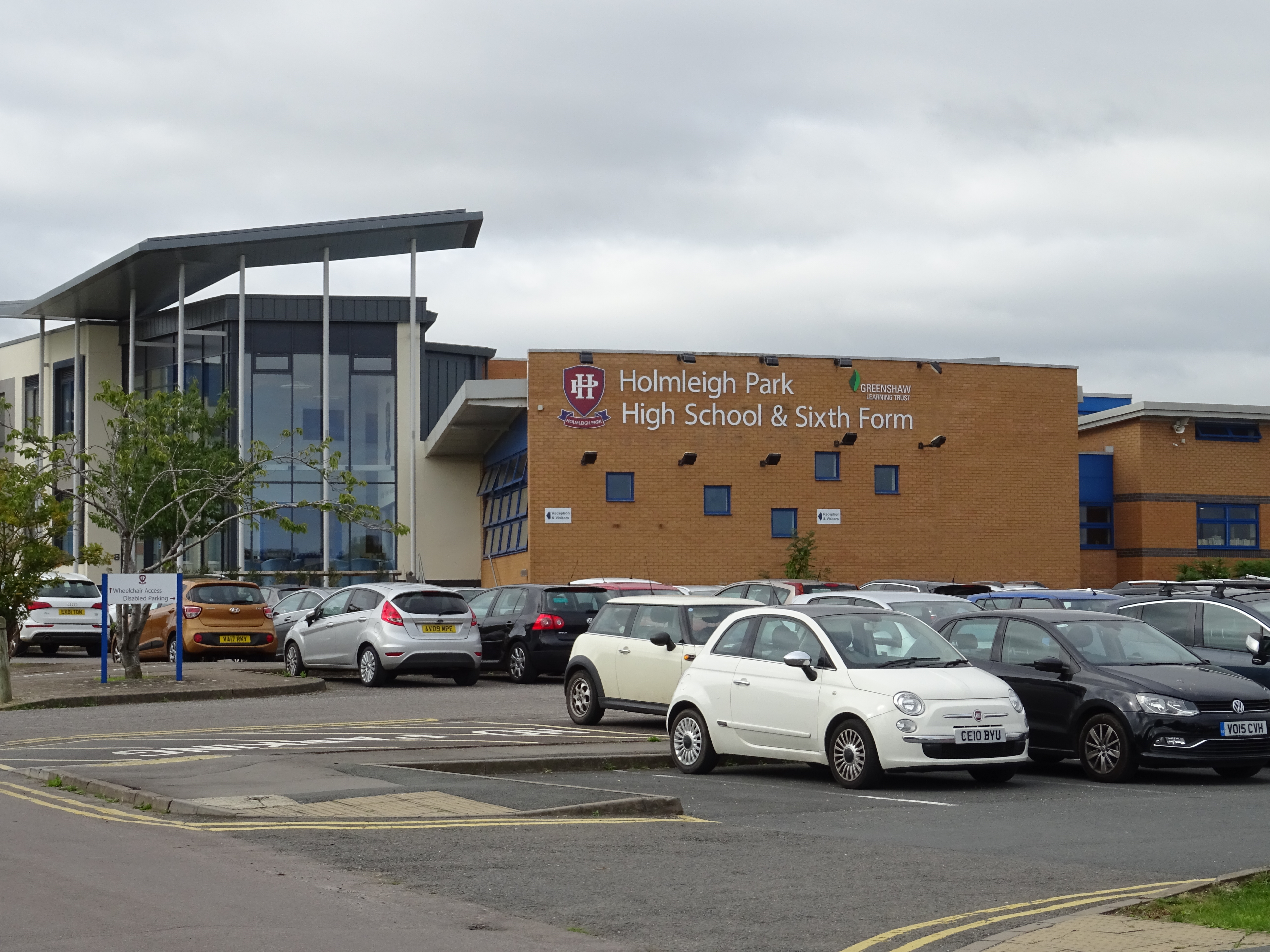
Holmleigh Park High School
Holmleigh Park High School is a co-educational secondary school and sixth form with academy status in Tuffley, Gloucester, Gloucestershire, England. The...

Hardwicke, Stroud
Hardwicke is a large village on the A38 road 7 km south of the city of Gloucester, Gloucestershire, England. Despite its proximity to Gloucester, the village...
Nearby Amenities
Located within 500m of 51.825385,-2.280476Have you been to Quedgeley?
Leave your review of Quedgeley below (or comments, questions and feedback).