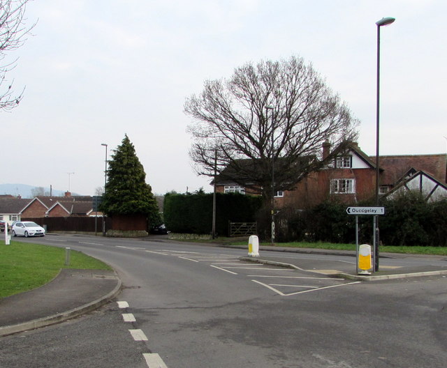
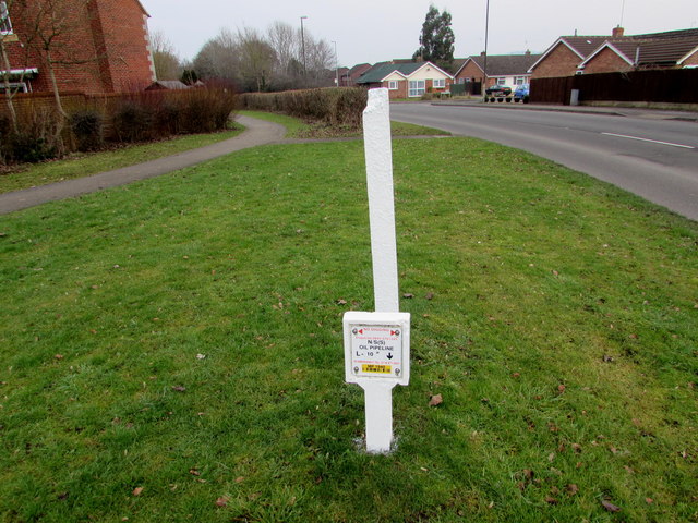
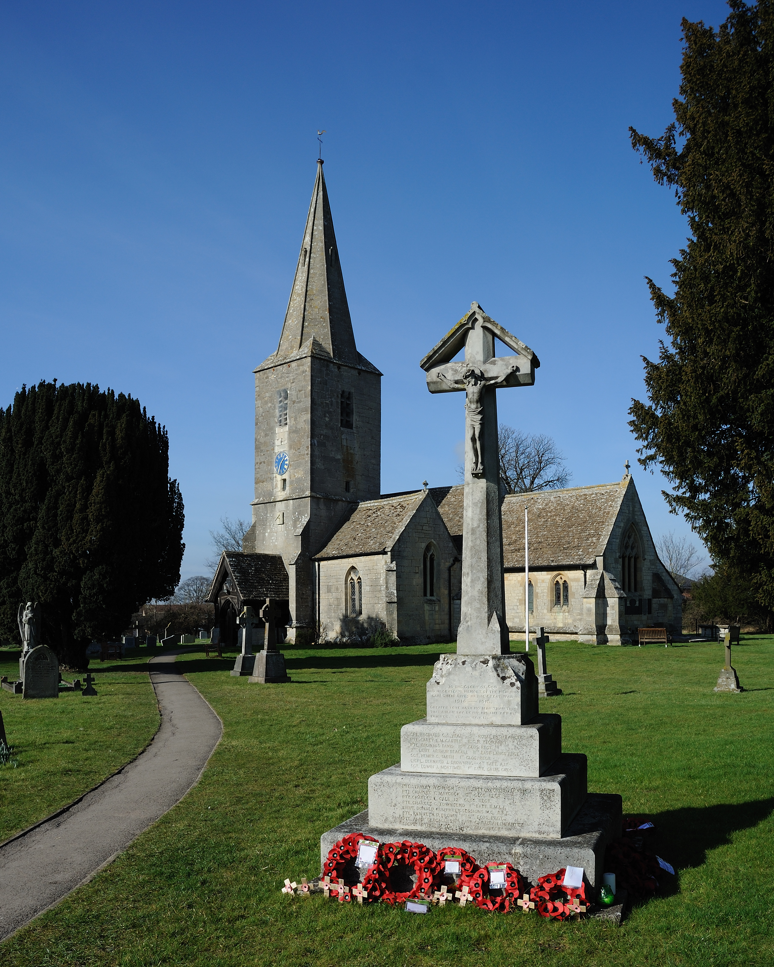
Quedgeley
Civil Parish in Gloucestershire Gloucester
England
Quedgeley
Quedgeley is a civil parish located in the county of Gloucestershire, England. Situated on the outskirts of the city of Gloucester, it is a suburban area that has experienced significant growth and development in recent years. The parish covers an area of approximately 6 square miles and is home to a population of around 17,000 people.
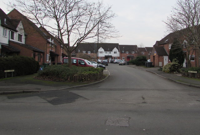
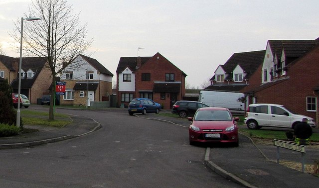
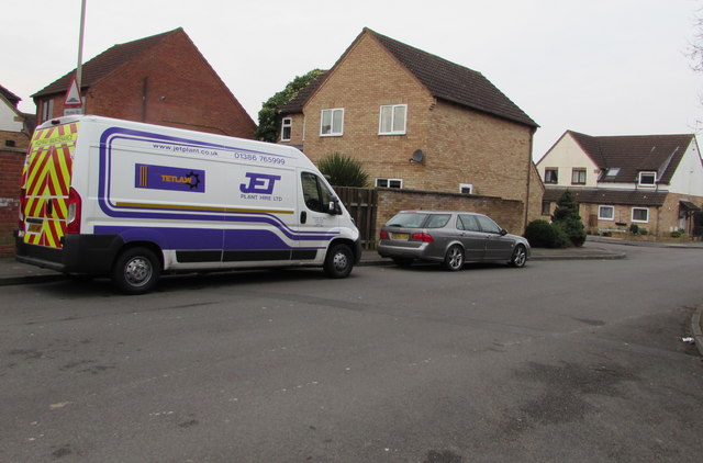
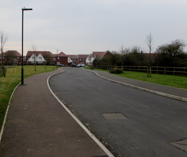
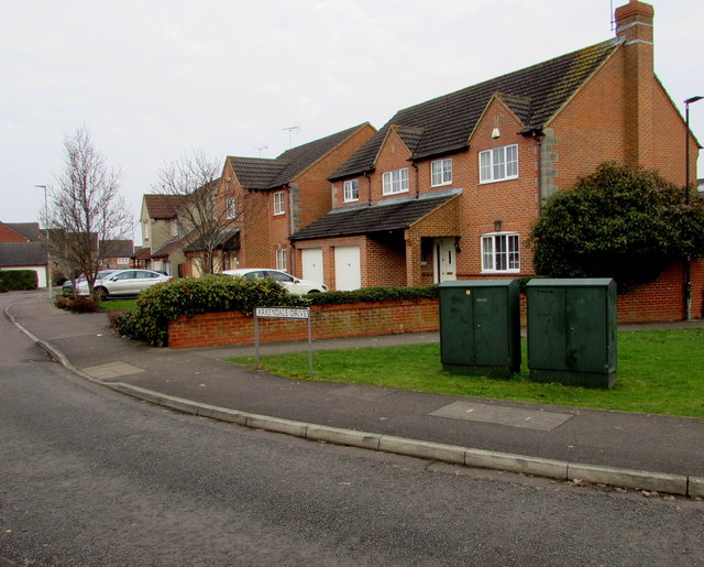
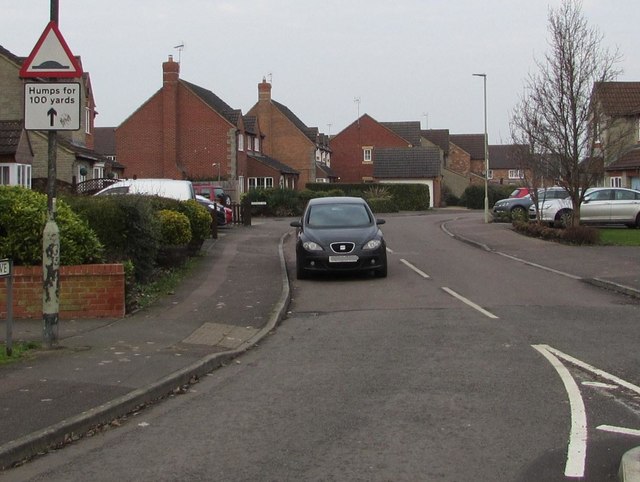
Quedgeley is primarily a residential area, with a mix of housing types including detached houses, semi-detached houses, and apartment complexes. The suburb offers a range of amenities and facilities to its residents, including several schools, a community center, a library, and various shops and supermarkets. There are also several parks and green spaces in the area, providing recreational opportunities for residents.
The suburb benefits from its proximity to Gloucester city center, which is just a short drive away. This allows residents easy access to a wide range of additional amenities, including shopping centers, restaurants, and cultural attractions. Quedgeley is also well-connected in terms of transportation, with good road links to major nearby cities such as Bristol and Cheltenham, as well as easy access to the M5 motorway.
Overall, Quedgeley offers a convenient and pleasant suburban lifestyle, with a range of amenities and good transport links. Its location near Gloucester city center and its growing population make it an attractive place to live for many people in Gloucestershire.
If you have any feedback on the listing, please let us know in the comments section below.
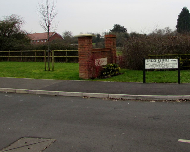
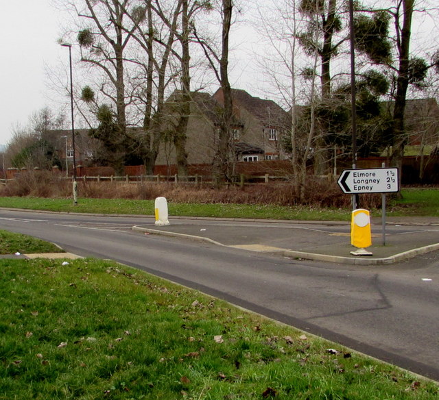
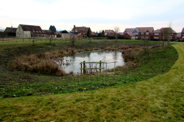
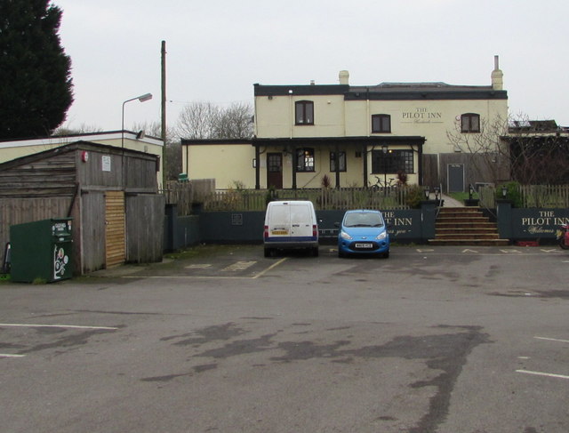
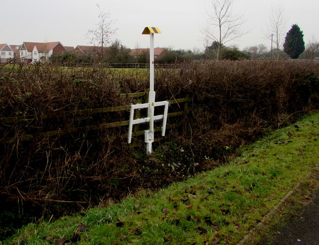
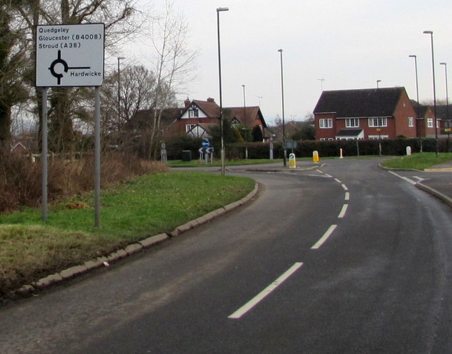
Quedgeley Images
Images are sourced within 2km of 51.824627/-2.277932 or Grid Reference SO8014. Thanks to Geograph Open Source API. All images are credited.
Quedgeley is located at Grid Ref: SO8014 (Lat: 51.824627, Lng: -2.277932)
Administrative County: Gloucestershire
District: Gloucester
Police Authority: Gloucestershire
What 3 Words
///yoga.herbs.melt. Near Gloucester, Gloucestershire
Related Wikis
Quedgeley
Quedgeley is a town and former civil parish in the city of Gloucester in Gloucestershire, England. A thin strip of land between the Severn and the Gloucester...
St James Church, Quedgeley
St James Church is a Church of England church in School Lane, Quedgeley, Gloucester, Gloucestershire, England. It was designated as a Grade II listed building...

The Little Thatch
The Little Thatch (also known as The Thatch Inn) is a 14th-century timber-framed building at 141 Bristol Road, Quedgeley, Gloucester. It is now used as...

Kingsway Village
Kingsway Village is an area adjacent to the town of Quedgeley and suburb of Tuffley in Gloucester, in the ceremonial county of Gloucestershire, England...
Severn Vale School
Severn Vale School is a secondary school with academy status in Quedgeley, Gloucester, England. Its students are aged from 11 to 16. The headmaster is...

South West Snooker Academy
The South West Snooker Academy (or the Capital Venue) is located in Gloucester Business Park. It was purposely built for snooker in July 2010 but is now...
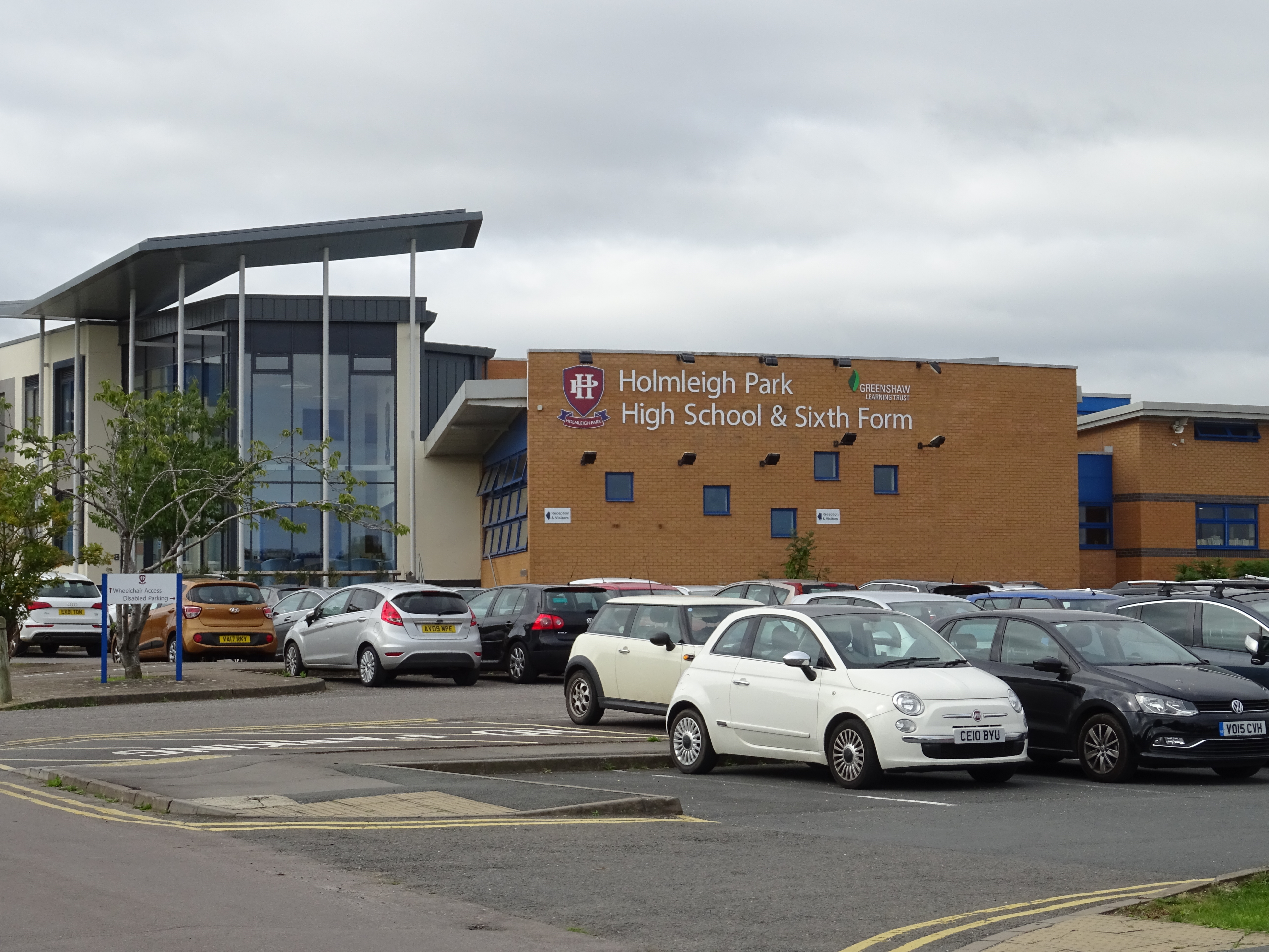
Holmleigh Park High School
Holmleigh Park High School is a co-educational secondary school and sixth form with academy status in Tuffley, Gloucester, Gloucestershire, England. The...

Hardwicke, Stroud
Hardwicke is a large village on the A38 road 7 km south of the city of Gloucester, Gloucestershire, England. Despite its proximity to Gloucester, the village...
Nearby Amenities
Located within 500m of 51.824627,-2.277932Have you been to Quedgeley?
Leave your review of Quedgeley below (or comments, questions and feedback).