Pyrton

Settlement in Oxfordshire South Oxfordshire

England

Pyrton

The Spire and Spoke This was originally a pub called the Carrier's Arms, which closed in September 2019.

In July 2020 it reopened as the Spike and Spoke, a cyclist-friendly cafe bar.
The Spire and Spoke Credit: Mark Percy

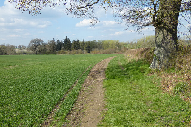
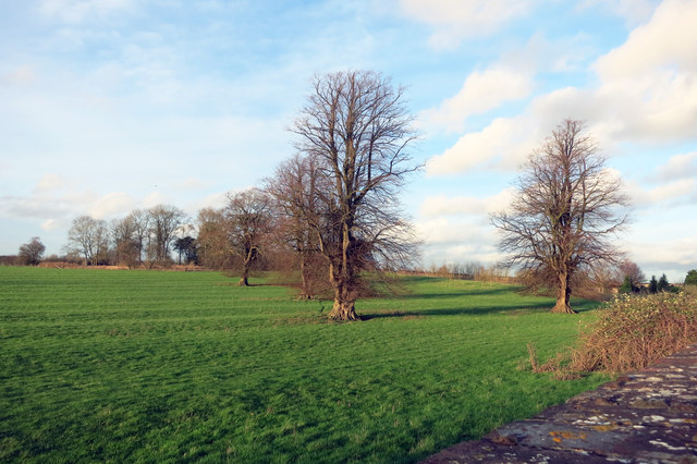
Pyrton is a small village located in the county of Oxfordshire, England. Situated approximately 10 miles southeast of the city of Oxford, Pyrton is nestled in the picturesque Chiltern Hills. The village is surrounded by lush green fields and rolling countryside, offering stunning panoramic views.

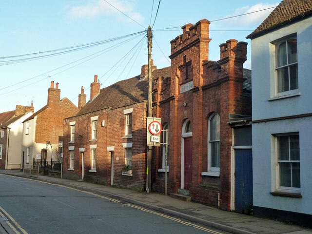
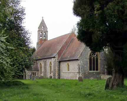
Pyrton has a rich history dating back to the medieval period, with evidence of habitation in the area since the Iron Age. The village is known for its charming, traditional cottages built with local stone, adding to its timeless appeal. The village church, St. Mary's, is a prominent feature and dates back to the 13th century, showcasing stunning architecture and historical significance.

Despite its small size, Pyrton offers a range of amenities to its residents. The village has a community hall that serves as a hub for various social events and gatherings. Additionally, there is a local primary school catering to the educational needs of the village's younger population. The village also boasts a cricket pitch, perfect for sports enthusiasts to enjoy a game in the summer months.

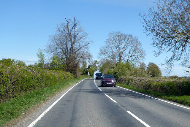
Surrounded by natural beauty, Pyrton provides ample opportunities for outdoor activities. The Chiltern Hills offer numerous walking and cycling trails, allowing visitors to explore the stunning countryside. Nearby attractions include the picturesque town of Watlington and the renowned Oxford University, which is easily accessible from Pyrton.

Pyrton is a tranquil and idyllic village, offering a peaceful escape from the hustle and bustle of city life. With its rich history, beautiful surroundings, and sense of community, Pyrton is a charming destination for visitors and a wonderful place to call home.

If you have any feedback on the listing, please let us know in the comments section below.
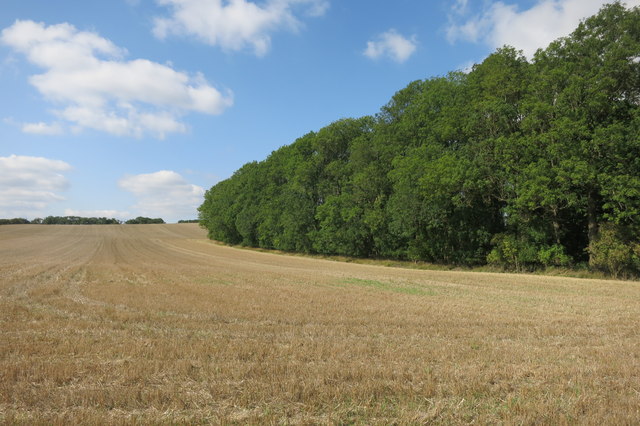
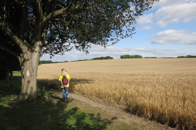
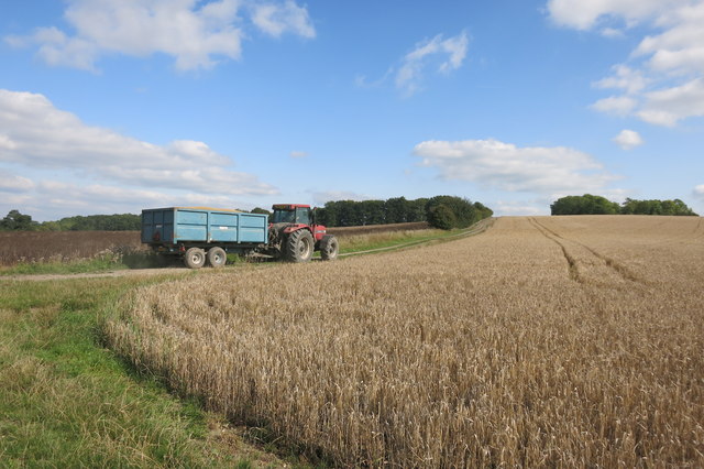
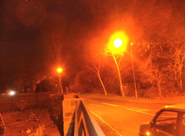
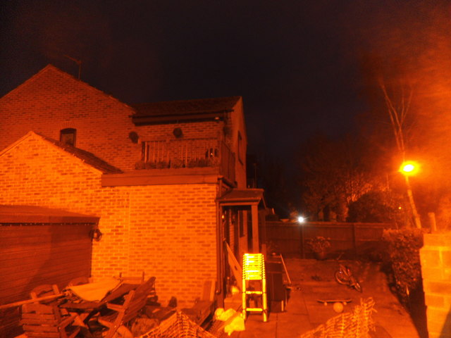
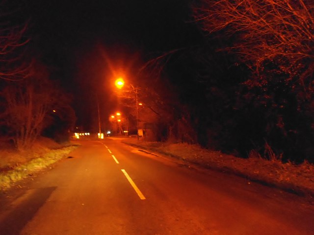
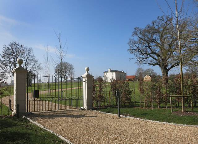
Pyrton Images

Images are sourced within 2km of 51.658058/-1.006751 or Grid Reference SU6895. Thanks to Geograph Open Source API. All images are credited.

The Spire and Spoke This was originally a pub called the Carrier's Arms, which closed in September 2019.

In July 2020 it reopened as the Spike and Spoke, a cyclist-friendly cafe bar.
The Spire and Spoke
This was originally a pub called the Carrier's Arms, which closed in September 2019. In July 2020 it reopened as the Spike and Spoke, a cyclist-friendly cafe bar.
Cottages, Hill Road, Watlington A 19th century grade II listed building, originally a hospital.
Cottages, Hill Road, Watlington
A 19th century grade II listed building, originally a hospital.
Street corner building, Watlington Grade II listed, late 18th century the part right on the corner, 17th century the nearer part.
Street corner building, Watlington
Grade II listed, late 18th century the part right on the corner, 17th century the nearer part.
Aces and St John's Church Hall, Watlington Aces is the pair of cottages to the left of the hall, they are grade II listed, 17th century with later alterations.
Aces and St John's Church Hall, Watlington
Aces is the pair of cottages to the left of the hall, they are grade II listed, 17th century with later alterations.
The Fat Fox Inn, Watlington A grade II listed building, late 18th century with an older rear wing not seen here. Formerly the Fox and Hounds.
The Fat Fox Inn, Watlington
A grade II listed building, late 18th century with an older rear wing not seen here. Formerly the Fox and Hounds.
Buildings in grey brick, Watlington Remarkably reflective in the late afternoon sun, I thought at first it was dressed flint. Grade II listed, 18th century.
Buildings in grey brick, Watlington
Remarkably reflective in the late afternoon sun, I thought at first it was dressed flint. Grade II listed, 18th century.
High Street, Watlington
Farmland, Shirburn On a footpath heading generally north-eastwards from Pyrton with options to go towards South Weston or Wheatfield.
Farmland, Shirburn
On a footpath heading generally north-eastwards from Pyrton with options to go towards South Weston or Wheatfield.
Oxford County fingerposts on Britwell Road, Watlington I can't remember any other fingerposts with the pre-Worboys checkered leading to indication over a road number before.
Oxford County fingerposts on Britwell Road, Watlington
I can't remember any other fingerposts with the pre-Worboys checkered leading to indication over a road number before.
Over the wall in Shirburn Park Shirburn Park is behind a substantial stone wall along here, but this is what there is to see on the other side.
Not a lot. A few trees and some ridge and furrow.
Over the wall in Shirburn Park
Shirburn Park is behind a substantial stone wall along here, but this is what there is to see on the other side. Not a lot. A few trees and some ridge and furrow.
B4009 Watlington Road towards Lewknor
Edgington Wood
Edgington Wood
Near Pyrton Heath House From the bridleway which skirts around the garden of this isolated house.
Near Pyrton Heath House
From the bridleway which skirts around the garden of this isolated house.
Tractor near Mount Tree Mount Tree is either the name of this hill or the small wood on the top of it.
Tractor near Mount Tree
Mount Tree is either the name of this hill or the small wood on the top of it.
Cuxham Road, Watlington
House on Cuxham Road, Watlington
Cuxham Road, Watlington
Clare Court, a bit of a difference Compare this with my picture of how this place looked a few years ago as the derelict Clare Hill Farm.<a href="https://www.geograph.org.uk/photo/2056436">SU6797 : Clare Hill Farm</a>
Clare Court, a bit of a difference
Compare this with my picture of how this place looked a few years ago as the derelict Clare Hill Farm.SU6797 : Clare Hill Farm
Show me another place!

Pyrton is located at Grid Ref: SU6895 (Lat: 51.658058, Lng: -1.006751)

Administrative County: Oxfordshire

District: South Oxfordshire

Police Authority: Thames Valley

What 3 Words

///digitally.basin.mute. Near Watlington, Oxfordshire

Nearby Locations

Pyrton Manor Pyrton

Related Wikis

Pyrton

Pyrton is a small village and large civil parish in Oxfordshire about 1 mile (1.6 km) north of the small town of Watlington and 5 miles (8 km) south of...

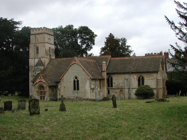
St Mary's Church, Pyrton

St Mary's Church is the Church of England parish church of Pyrton, Oxfordshire, England. Its parish is part of the benefice of Icknield, in the deanery...

All Saints Church, Shirburn

All Saints' Church is the redundant Church of England parish church of the parish of Shirburn, Oxfordshire, England. It is recorded in the National Heritage...
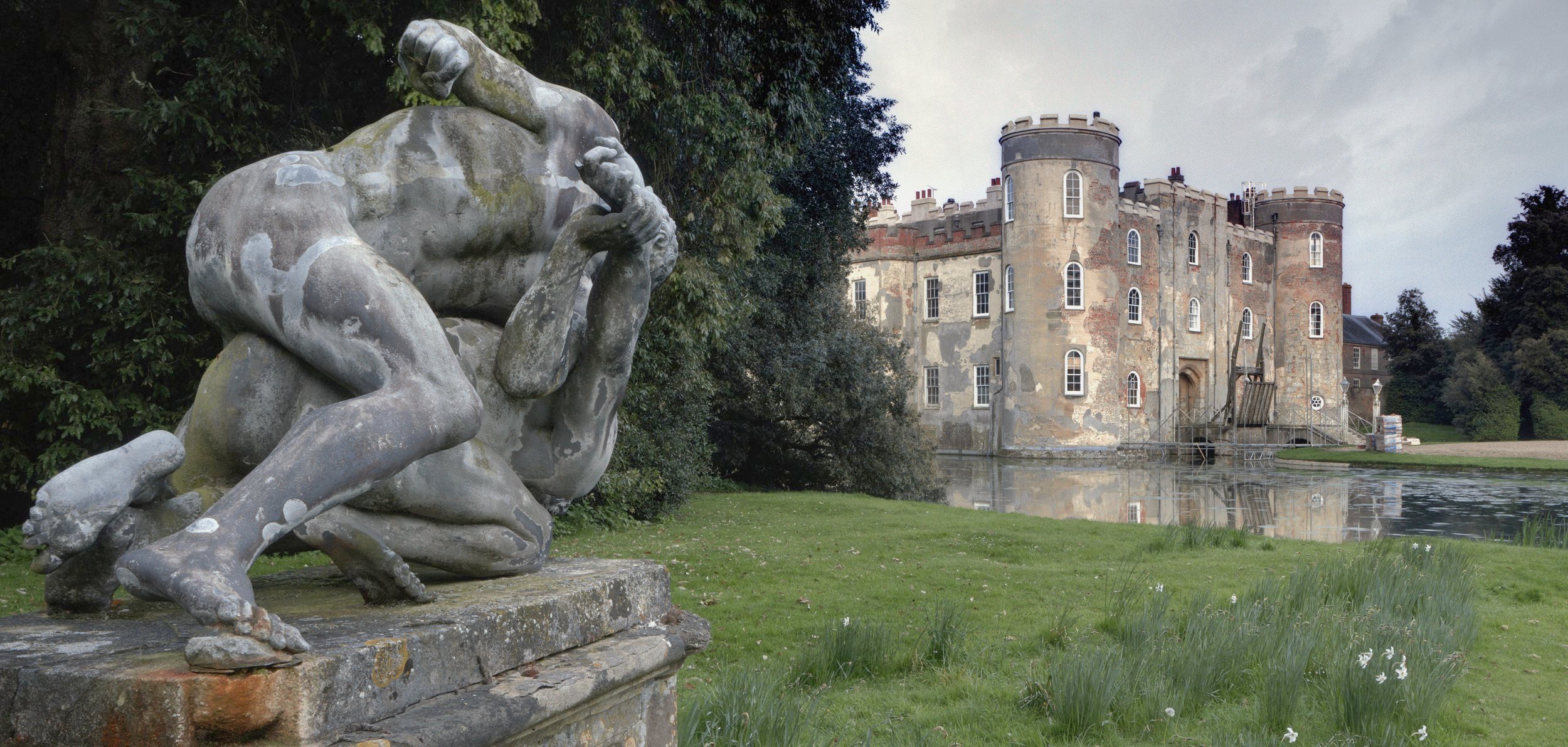
Shirburn Castle

Shirburn Castle is a Grade I listed, moated castle located at the village of Shirburn, near Watlington, Oxfordshire, was built in 1377 for Warine II de...

Related Videos

Walking on watlington hill

No face no talking just walking through our beautiful woodland an amazing space to chill and have a moment to oneself the views ...

Walking the Ridgeway - Part 5 - Goring to Watlington

Breaking our 20 min Ridgeway video into bitesize chunks. This video covers day 6 of our walking holiday from Goring to ...

THE RIDGEWAY 2023 | Day 4 | mud, sweat and … snow?

In March 2023, I set off from Germany to walk the Ridgeway, an ancient road across high ground in the south of England covering ...

Nearby Amenities

Located within 500m of 51.658058,-1.006751
Pyrton
Place: hamlet
Source: OS_OpenData_StreetView
Wikidata: Q3095989
Wikipedia: en:Pyrton
Lat/Long: 51.6560921/-1.0064473
The Old Plough
Naptan AtcoCode: 340000625CHL
Naptan Bearing: N
Naptan BusStopType: CUS
Naptan CommonName: The Old Plough
Naptan Indicator: Outside
Naptan Landmark: The Old Plough
Naptan NaptanCode: oxfatapj
Naptan Street: Knightsbridge Lane
Naptan Verified: no
Source: naptan_import
Lat/Long: 51.6591469/-1.0070697
The Old Plough
Naptan AtcoCode: 340000625OCH
Naptan Bearing: S
Naptan BusStopType: CUS
Naptan CommonName: The Old Plough
Naptan Indicator: Opposite
Naptan Landmark: The Old Plough
Naptan NaptanCode: oxfatapg
Naptan Street: Knightsbridge Lane
Naptan Verified: no
Source: naptan_import
Lat/Long: 51.6593265/-1.0070368
Barrier: stile
Foot: yes
Material: wood
Stile: stepover
Lat/Long: 51.6577643/-1.0097802
Power: pole
Lat/Long: 51.6540035/-1.0066018
Power: pole
Lat/Long: 51.6545669/-1.0066776
Power: pole
Lat/Long: 51.655114/-1.0067413
The data included in this document is from www.openstreetmap.org. The data is made available under ODbL.

Have you been to Pyrton?

Leave your review of Pyrton below (or comments, questions and feedback).