Pyrton Manor

Heritage Site in Oxfordshire South Oxfordshire

England

Pyrton Manor

The Spire and Spoke This was originally a pub called the Carrier's Arms, which closed in September 2019.

In July 2020 it reopened as the Spike and Spoke, a cyclist-friendly cafe bar.
The Spire and Spoke Credit: Mark Percy

Pyrton Manor, located in Oxfordshire, England, is a historic and significant heritage site that dates back to the 11th century. This manor house, nestled amidst picturesque surroundings, is steeped in rich history and has witnessed countless centuries of British heritage.

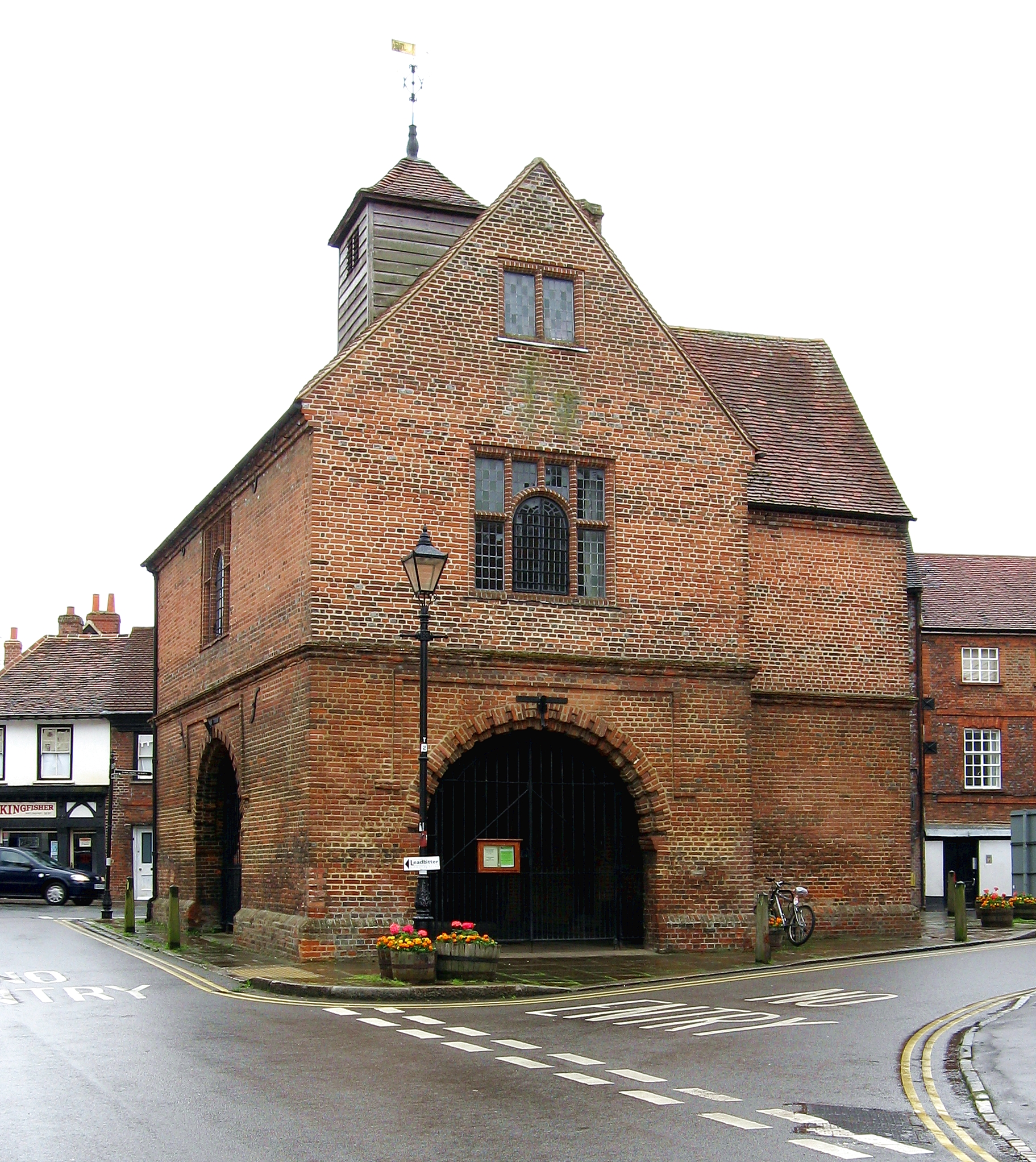
The manor's architecture is a perfect blend of medieval and Tudor styles, showcasing the evolution of architectural design over the centuries. Its stone walls, mullioned windows, and timber-framed sections exude a sense of grandeur and charm. The building's imposing facade and well-preserved structure are a testament to its historical significance.

Inside Pyrton Manor, visitors are transported back in time as they explore the various rooms and chambers. The Great Hall, with its impressive fireplace and intricate ceiling, is a highlight of the manor. The manor also boasts an exquisite chapel, adorned with stained glass windows and ornate woodwork, providing a glimpse into the religious practices of the era.

The surrounding gardens and grounds of Pyrton Manor are equally captivating. Lush green lawns, vibrant flower beds, and ancient trees create a serene and idyllic atmosphere. Visitors can take leisurely strolls through the gardens, immersing themselves in the natural beauty and tranquility of the estate.

Pyrton Manor is open to the public, allowing visitors to experience the grandeur and history of this remarkable heritage site. Guided tours are available, providing insights into the manor's past and its significance in the local area. The manor also hosts various events throughout the year, including cultural exhibitions and historical reenactments, adding to its allure for both locals and tourists alike.

If you have any feedback on the listing, please let us know in the comments section below.

Pyrton Manor Images

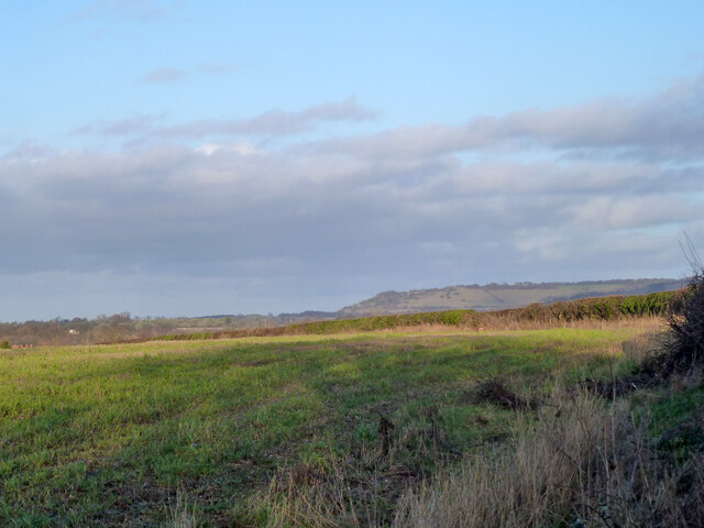
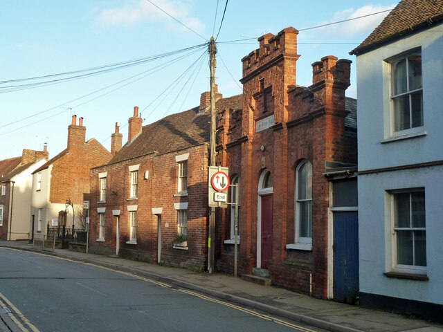
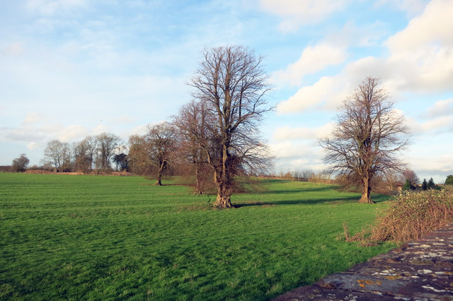
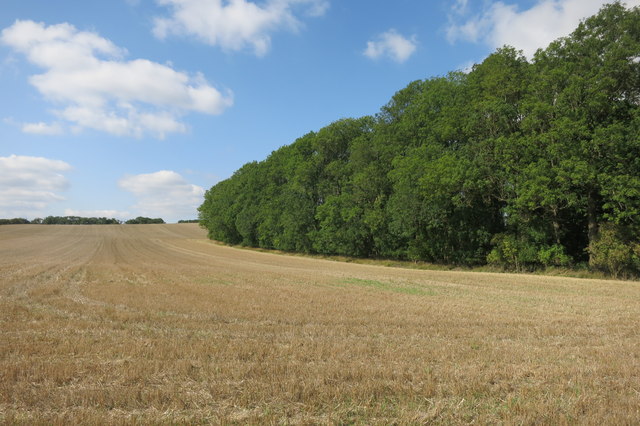
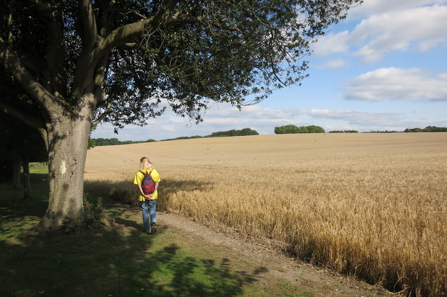
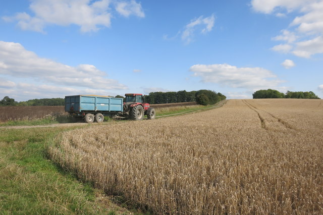
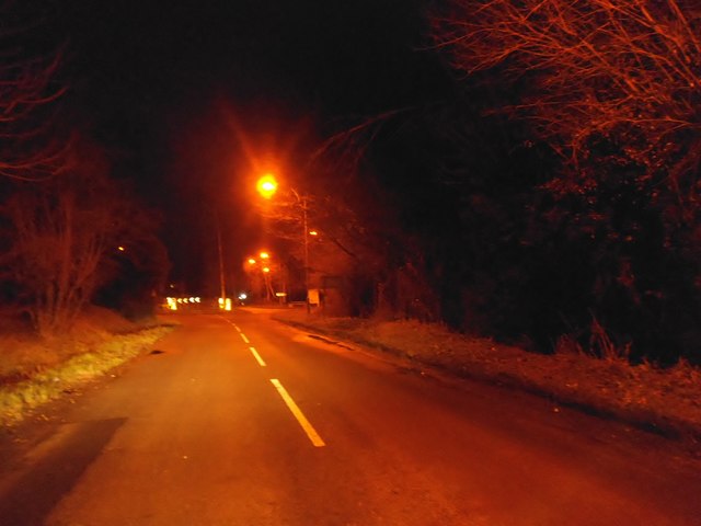
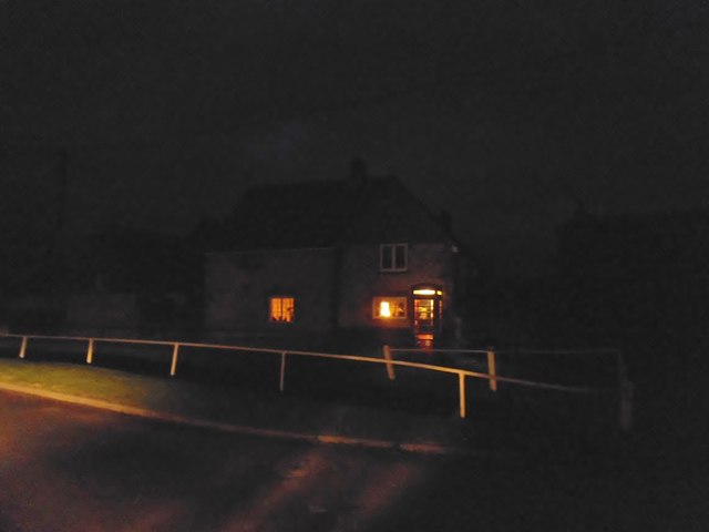
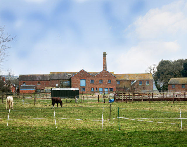
Images are sourced within 2km of 51.653/-1.01 or Grid Reference SU6895. Thanks to Geograph Open Source API. All images are credited.

The Spire and Spoke This was originally a pub called the Carrier's Arms, which closed in September 2019.

In July 2020 it reopened as the Spike and Spoke, a cyclist-friendly cafe bar.
The Spire and Spoke
This was originally a pub called the Carrier's Arms, which closed in September 2019. In July 2020 it reopened as the Spike and Spoke, a cyclist-friendly cafe bar.
View north-east from field gate on Britwell Road Looking towards one of the spurs of the Chilterns, possibly Beacon Hill, Lewknor.
View north-east from field gate on Britwell Road
Looking towards one of the spurs of the Chilterns, possibly Beacon Hill, Lewknor.
Cottages, Hill Road, Watlington A 19th century grade II listed building, originally a hospital.
Cottages, Hill Road, Watlington
A 19th century grade II listed building, originally a hospital.
Street corner building, Watlington Grade II listed, late 18th century the part right on the corner, 17th century the nearer part.
Street corner building, Watlington
Grade II listed, late 18th century the part right on the corner, 17th century the nearer part.
Aces and St John's Church Hall, Watlington Aces is the pair of cottages to the left of the hall, they are grade II listed, 17th century with later alterations.
Aces and St John's Church Hall, Watlington
Aces is the pair of cottages to the left of the hall, they are grade II listed, 17th century with later alterations.
The Fat Fox Inn, Watlington A grade II listed building, late 18th century with an older rear wing not seen here. Formerly the Fox and Hounds.
The Fat Fox Inn, Watlington
A grade II listed building, late 18th century with an older rear wing not seen here. Formerly the Fox and Hounds.
Buildings in grey brick, Watlington Remarkably reflective in the late afternoon sun, I thought at first it was dressed flint. Grade II listed, 18th century.
Buildings in grey brick, Watlington
Remarkably reflective in the late afternoon sun, I thought at first it was dressed flint. Grade II listed, 18th century.
High Street, Watlington
Oxford County fingerposts on Britwell Road, Watlington I can't remember any other fingerposts with the pre-Worboys checkered leading to indication over a road number before.
Oxford County fingerposts on Britwell Road, Watlington
I can't remember any other fingerposts with the pre-Worboys checkered leading to indication over a road number before.
Over the wall in Shirburn Park Shirburn Park is behind a substantial stone wall along here, but this is what there is to see on the other side.
Not a lot. A few trees and some ridge and furrow.
Over the wall in Shirburn Park
Shirburn Park is behind a substantial stone wall along here, but this is what there is to see on the other side. Not a lot. A few trees and some ridge and furrow.
Edgington Wood
Edgington Wood
Near Pyrton Heath House From the bridleway which skirts around the garden of this isolated house.
Near Pyrton Heath House
From the bridleway which skirts around the garden of this isolated house.
Tractor near Mount Tree Mount Tree is either the name of this hill or the small wood on the top of it.
Tractor near Mount Tree
Mount Tree is either the name of this hill or the small wood on the top of it.
Cuxham Road, Watlington
House on Cuxham Road, Watlington
Cuxham Road, Watlington
House and phone box in Cuxham This was making use of the lowest possible amount of available light.
House and phone box in Cuxham
This was making use of the lowest possible amount of available light.
Model Farm A Victorian steam powered farm, with mechanised systems for feeding and heating etc, all housed in these purpose built factory like buildings. Powered by coal brought in by train on the Watlington branch line a short distance away.
The buildings are still in use, and some of the machinery is still in place.
Model Farm
A Victorian steam powered farm, with mechanised systems for feeding and heating etc, all housed in these purpose built factory like buildings. Powered by coal brought in by train on the Watlington branch line a short distance away. The buildings are still in use, and some of the machinery is still in place.
Show me another place!

Pyrton Manor is located at Grid Ref: SU6895 (Lat: 51.653, Lng: -1.01)

Administrative County: Oxfordshire

District: South Oxfordshire

Police Authority: Thames Valley

What 3 Words

///skis.following.hounded. Near Watlington, Oxfordshire

Nearby Locations

Pyrton Manor Pyrton

Related Wikis

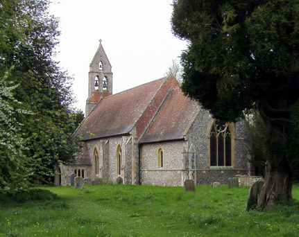
St Mary's Church, Pyrton

St Mary's Church is the Church of England parish church of Pyrton, Oxfordshire, England. Its parish is part of the benefice of Icknield, in the deanery...

Icknield Community College

Icknield Community College is a coeducational secondary school located in Watlington, Oxfordshire, England. It offers tuition for years 7-11 (ages 11...

Pyrton

Pyrton is a small village and large civil parish in Oxfordshire about 1 mile (1.6 km) north of the small town of Watlington and 5 miles (8 km) south of...

Watlington, Oxfordshire

Watlington is a small market town and civil parish about 7 miles (11 km) south of Thame in Oxfordshire, near the county's eastern edge and less than 2...

Nearby Amenities

Located within 500m of 51.653,-1.01
Pyrton
Place: hamlet
Source: OS_OpenData_StreetView
Wikidata: Q3095989
Wikipedia: en:Pyrton
Lat/Long: 51.6560921/-1.0064473
Turning Circle
Turning Circle: y-head
Lat/Long: 51.6489579/-1.0121784
Turning Circle
Turning Circle: y-head
Lat/Long: 51.6486819/-1.011448
Power: pole
Lat/Long: 51.6529054/-1.0064824
Power: pole
Lat/Long: 51.6534596/-1.0065582
Power: pole
Lat/Long: 51.6540035/-1.0066018
Power: pole
Lat/Long: 51.6545669/-1.0066776
Power: pole
Lat/Long: 51.655114/-1.0067413
Power: pole
Lat/Long: 51.6524523/-1.0071863
Power: pole
Lat/Long: 51.6520046/-1.0078809
Power: pole
Lat/Long: 51.6515731/-1.0085962
Power: pole
Lat/Long: 51.6506797/-1.0100147
Power: pole
Lat/Long: 51.6502397/-1.0106986
Power: pole
Lat/Long: 51.6497833/-1.0114054
Power: pole
Lat/Long: 51.6493478/-1.0120895
Power: pole
Lat/Long: 51.6510563/-1.0094051
The data included in this document is from www.openstreetmap.org. The data is made available under ODbL.

Have you been to Pyrton Manor?

Leave your review of Pyrton Manor below (or comments, questions and feedback).