Biscathorpe
Settlement in Lincolnshire East Lindsey
England
Biscathorpe

Biscathorpe is a small village located in the East Lindsey district of Lincolnshire, England. Situated in the Lincolnshire Wolds, an area of outstanding natural beauty, Biscathorpe offers residents and visitors alike a picturesque and tranquil setting.
The village is known for its charming and well-preserved traditional cottages, which add to its overall appeal. Nestled amidst rolling hills and lush green fields, Biscathorpe is an ideal destination for those seeking a peaceful retreat away from the hustle and bustle of city life.
The village is home to a small but close-knit community, and it prides itself on its community spirit. The village hall serves as a hub for various social and recreational activities, providing opportunities for residents to come together and engage in local events.
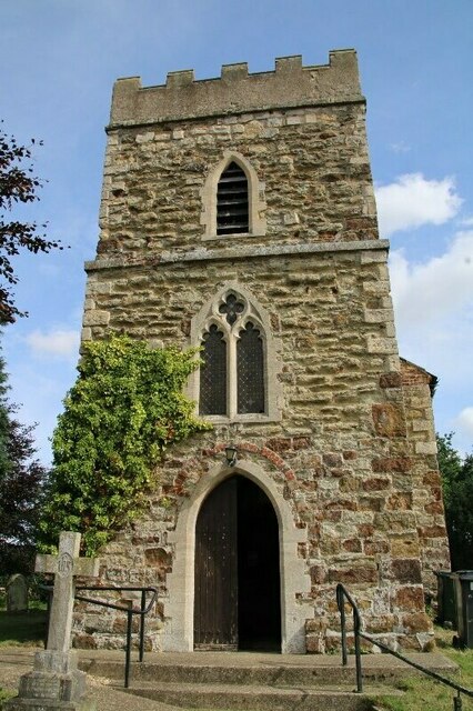
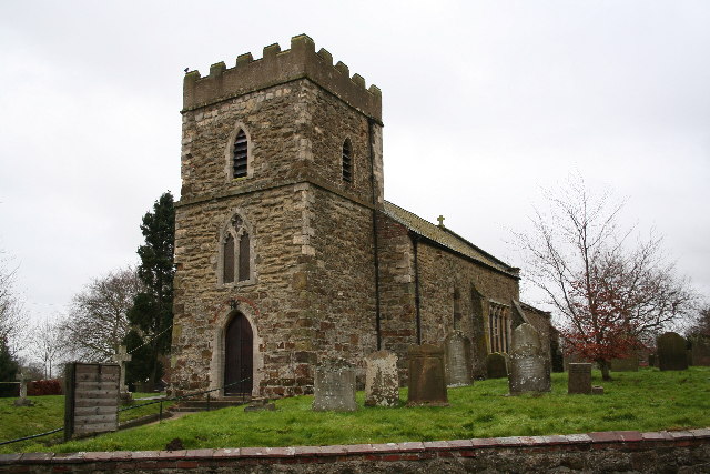
One of the notable features in Biscathorpe is the St. Helen's Church, a Grade II listed building dating back to the 13th century. The church's architecture and historical significance make it a popular attraction for history enthusiasts and architecture aficionados.
Nature lovers will find plenty to explore in and around Biscathorpe. The surrounding countryside offers picturesque walking and cycling routes, with stunning views of the Wolds. Wildlife enthusiasts can also spot various species of birds and other wildlife in the area.
While Biscathorpe may be a small village, it offers a sense of tranquility, natural beauty, and a strong sense of community, making it a hidden gem in Lincolnshire's countryside.
If you have any feedback on the listing, please let us know in the comments section below.
Biscathorpe Images
Images are sourced within 2km of 53.345381/-0.156819 or Grid Reference TF2284. Thanks to Geograph Open Source API. All images are credited.


Biscathorpe is located at Grid Ref: TF2284 (Lat: 53.345381, Lng: -0.156819)
Division: Parts of Lindsey
Administrative County: Lincolnshire
District: East Lindsey
Police Authority: Lincolnshire
What 3 Words
///investors.joked.sniff. Near Louth, Lincolnshire
Nearby Locations
Related Wikis
Biscathorpe
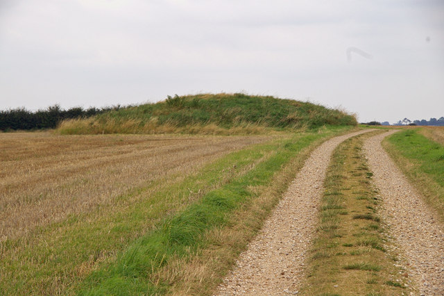
Biscathorpe is an ecclesiastical parish, deserted medieval village and former civil parish, now in the parish of Gayton le Wold, in the East Lindsey district...
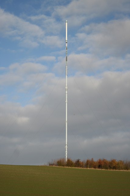
Belmont transmitting station
The Belmont transmitting station is a broadcasting and telecommunications facility next to the B1225, 1 mile (1.6 km) west of the village of Donington...

Gayton le Wold
Gayton le Wold is a village and civil parish in the East Lindsey district of Lincolnshire, England. It lies 6 miles (10 km) west from Louth, 3 miles (5...
Burgh on Bain
Burgh on Bain is a village and civil parish in the East Lindsey district of Lincolnshire, England. It is situated on the A157 road, 7 miles (11 km) west...
Grimblethorpe
Grimblethorpe is a hamlet in the East Lindsey district of Lincolnshire, England. It is situated 6 miles (10 km) west from Louth and just north of the village...
Donington on Bain
Donington on Bain is a village and civil parish in the East Lindsey district of Lincolnshire, England. The village is approximately 6 miles (10 km) south...
Girsby, Lincolnshire
Girsby is a hamlet in the East Lindsey district of Lincolnshire, England. It is situated less than 1 mile (2 km) north from the A157 road, 7 miles (11...
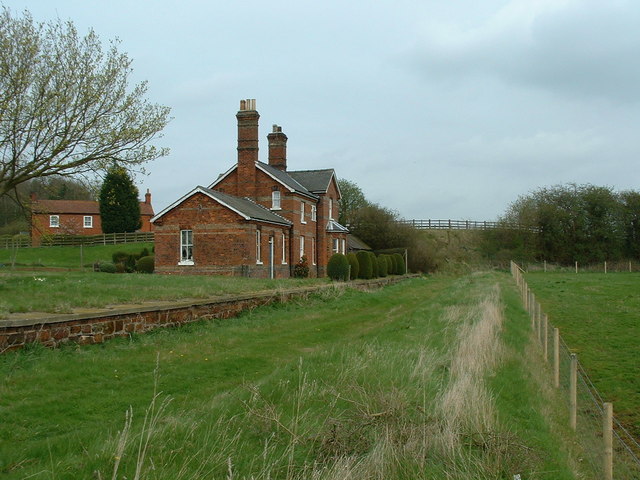
Louth to Bardney Line
The Louth to Bardney Line was an English railway line built by the Louth and Lincoln Railway Company, in Lincolnshire, England. It opened in stages between...
Nearby Amenities
Located within 500m of 53.345381,-0.156819Have you been to Biscathorpe?
Leave your review of Biscathorpe below (or comments, questions and feedback).