Biscathorpe Village
Heritage Site in Lincolnshire East Lindsey
England
Biscathorpe Village

Biscathorpe Village is a picturesque heritage site located in the county of Lincolnshire, England. Situated in the Lincolnshire Wolds, an area of outstanding natural beauty, this small village is renowned for its historical significance and charming rural setting.
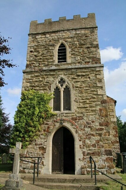
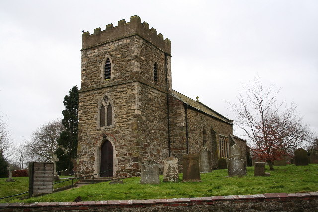
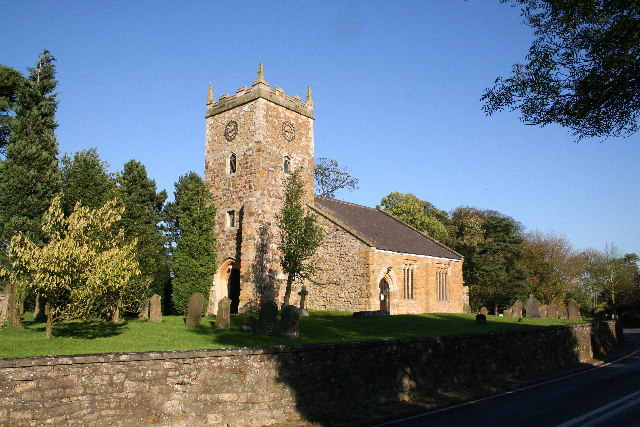
The village dates back to medieval times and is home to a number of well-preserved heritage buildings. One of the standout features of Biscathorpe is its 13th-century church, St. Helen's, which boasts a striking tower and beautiful stained glass windows. The church is a popular destination for history enthusiasts and architecture lovers alike.
Surrounded by rolling hills and verdant countryside, Biscathorpe offers visitors a peaceful retreat from the bustling city life. The village is dotted with quaint cottages made from local stone, giving it a timeless and rustic appeal. Walking through the narrow lanes and exploring the village's nooks and crannies is like stepping back in time.
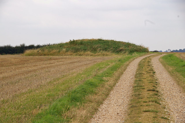
In addition to its architectural treasures, Biscathorpe Village is also renowned for its natural beauty. The surrounding area is a haven for wildlife, with several nature reserves and walking trails nearby. Visitors can enjoy leisurely walks, birdwatching, or simply soaking in the tranquil atmosphere.
Biscathorpe Village is a hidden gem in Lincolnshire, offering a glimpse into the region's rich history and natural splendor. Whether it's exploring the historic church, strolling through the idyllic countryside, or simply enjoying the peace and quiet, this heritage site has something to offer for everyone.
If you have any feedback on the listing, please let us know in the comments section below.
Biscathorpe Village Images
Images are sourced within 2km of 53.343/-0.16 or Grid Reference TF2284. Thanks to Geograph Open Source API. All images are credited.


Biscathorpe Village is located at Grid Ref: TF2284 (Lat: 53.343, Lng: -0.16)
Division: Parts of Lindsey
Administrative County: Lincolnshire
District: East Lindsey
Police Authority: Lincolnshire
What 3 Words
///perky.village.punctual. Near Louth, Lincolnshire
Nearby Locations
Related Wikis
Biscathorpe
Biscathorpe is an ecclesiastical parish, deserted medieval village and former civil parish, now in the parish of Gayton le Wold, in the East Lindsey district...
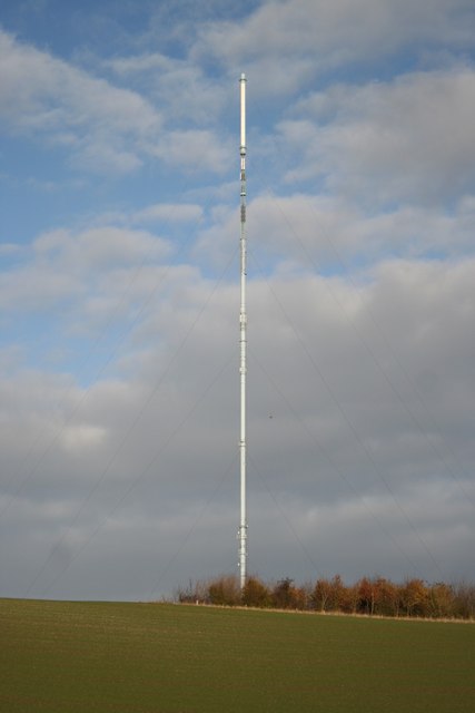
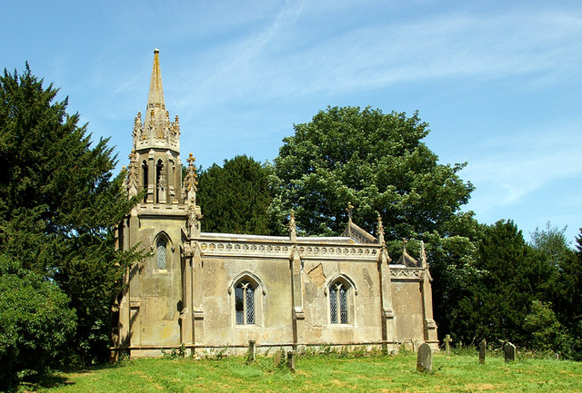
Belmont transmitting station
The Belmont transmitting station is a broadcasting and telecommunications facility next to the B1225, 1 mile (1.6 km) west of the village of Donington...
Donington on Bain
Donington on Bain is a village and civil parish in the East Lindsey district of Lincolnshire, England. The village is approximately 6 miles (10 km) south...

Gayton le Wold
Gayton le Wold is a village and civil parish in the East Lindsey district of Lincolnshire, England. It lies 6 miles (10 km) west from Louth, 3 miles (5...
Burgh on Bain
Burgh on Bain is a village and civil parish in the East Lindsey district of Lincolnshire, England. It is situated on the A157 road, 7 miles (11 km) west...
Grimblethorpe
Grimblethorpe is a hamlet in the East Lindsey district of Lincolnshire, England. It is situated 6 miles (10 km) west from Louth and just north of the village...
Girsby, Lincolnshire
Girsby is a hamlet in the East Lindsey district of Lincolnshire, England. It is situated less than 1 mile (2 km) north from the A157 road, 7 miles (11...

Benniworth
Benniworth is a village and civil parish in the East Lindsey district of Lincolnshire, England. The village is situated just west of the B1225 road, and...
Nearby Amenities
Located within 500m of 53.343,-0.16Have you been to Biscathorpe Village?
Leave your review of Biscathorpe Village below (or comments, questions and feedback).