Bishop's Dyke
Heritage Site in Cumberland Carlisle
England
Bishop's Dyke

Bishop's Dyke is a historically significant heritage site located in Cumberland, England. It is a well-preserved earthwork defensive structure that dates back to the Roman period, specifically the 2nd century AD. The dyke runs for approximately 4.5 miles across the landscape, showcasing impressive engineering and strategic planning.
The purpose of Bishop's Dyke was to protect the Roman fort of Luguvalium, modern-day Carlisle, from potential threats. The fort, which served as a base for the Roman military, was strategically positioned near the Solway Firth and was susceptible to invasions from the north, particularly from the Celtic tribes residing in what is now Scotland.
The dyke itself consists of a large ditch and rampart system, with the ditch measuring about 10 meters wide and 4 meters deep. The rampart rises to a height of around 3 meters and is constructed from soil and turf. The defensive structure was built to deter attackers and impede their progress towards the fort.
The significance of Bishop's Dyke lies in its well-preserved state, offering archaeologists and historians valuable insights into Roman military strategies and defensive architecture. The site not only showcases the engineering prowess of the Romans but also provides evidence of the historical context and geopolitical dynamics of the region during the Roman occupation.
Today, Bishop's Dyke stands as a testament to the enduring legacy of Roman occupation in Cumberland, offering visitors a glimpse into the region's rich history and cultural heritage. It is a protected heritage site, ensuring its preservation for future generations to appreciate and study.
If you have any feedback on the listing, please let us know in the comments section below.
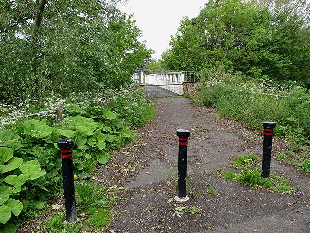
Bishop's Dyke Images
Images are sourced within 2km of 54.853/-2.973 or Grid Reference NY3751. Thanks to Geograph Open Source API. All images are credited.


Bishop's Dyke is located at Grid Ref: NY3751 (Lat: 54.853, Lng: -2.973)
Administrative County: Cumbria
District: Carlisle
Police Authority: Cumbria
What 3 Words
///meant.hints.crisis. Near Dalston, Cumbria
Nearby Locations
Related Wikis
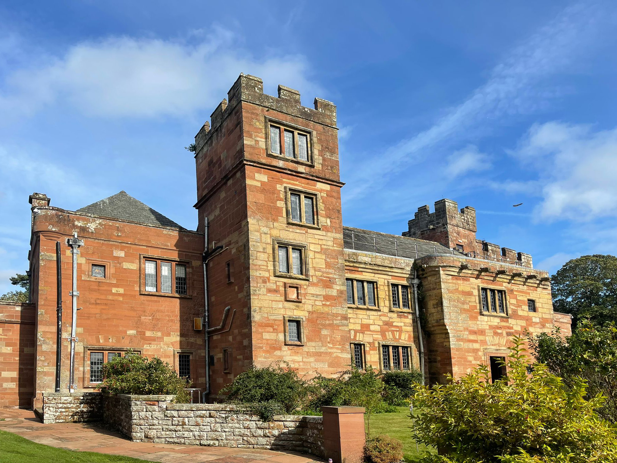
Dalston Hall
Dalston Hall is a fortified country house at Dalston in Cumbria, England. It is a Grade II* listed building. == History == Dalston Hall was built around...
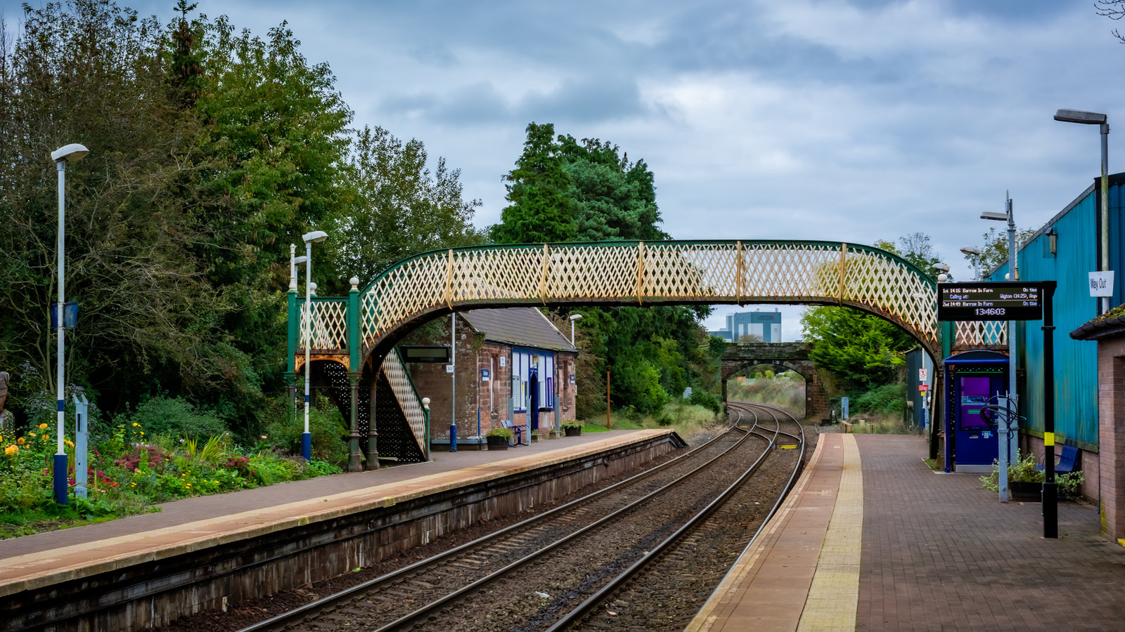
Dalston railway station (Cumbria)
Dalston railway station serves the village of Dalston near Carlisle in Cumbria, England. It is on the Cumbrian Coast Line, which runs between Carlisle...
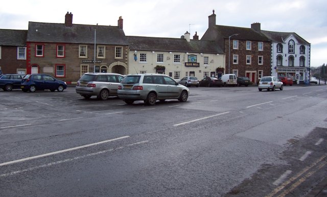
Dalston, Cumbria
Dalston is a large village and civil parish within Cumberland unitary authority area, Cumbria, and historically part of Cumberland. It is situated on the...

Cummersdale railway station
Cummersdale was a railway station on the Maryport and Carlisle Railway (M&CR) serving Cummersdale in Cumbria. The station was opened by the M&CR in 1858...

Cummersdale
Cummersdale is a village in Cumbria, England, just outside the southern outskirts of Carlisle. Excavations have taken place in Cummersdale. Notable landmarks...

Buckabank
Buckabank is a small village in the English county of Cumbria. It is situated on the B5299 road about 5 miles (8 km) south-south-west of Carlisle, and...

Cardewlees
Cardewlees is a hamlet in Cumbria, England, historically part of Cumberland. It is about 4.5 miles (7 km) southwest of Carlisle. It is located northwest...
Carlisle Racecourse
Carlisle Racecourse is a thoroughbred horse racing venue located in the village of Blackwell just outside Carlisle in Cumbria, England. The course has...
Nearby Amenities
Located within 500m of 54.853,-2.973Have you been to Bishop's Dyke?
Leave your review of Bishop's Dyke below (or comments, questions and feedback).