Biscathorpe Park
Downs, Moorland in Lincolnshire East Lindsey
England
Biscathorpe Park

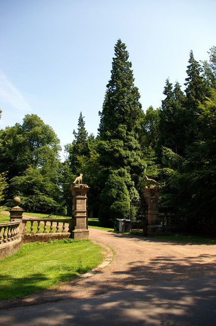
Biscathorpe Park is a picturesque nature reserve located in Lincolnshire, England. Spanning across the Biscathorpe Downs and Moorland, the park offers a diverse range of landscapes and habitats for visitors to explore.
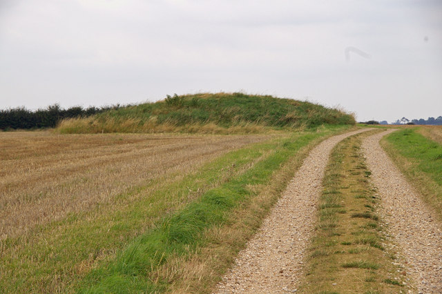
The park is known for its rolling hills and expansive views of the surrounding countryside. The Biscathorpe Downs feature vast stretches of open grassland, interspersed with patches of vibrant wildflowers during the summer months. This area is a haven for many species of birds, including skylarks and meadow pipits, which can often be heard singing their melodic tunes.
The Biscathorpe Moorland, on the other hand, offers a more rugged and wild environment. Here, visitors can encounter heather-clad hills, ancient woodlands, and meandering streams. The moorland is home to a diverse range of wildlife, such as deer, foxes, and various bird species, including the elusive Eurasian curlew.
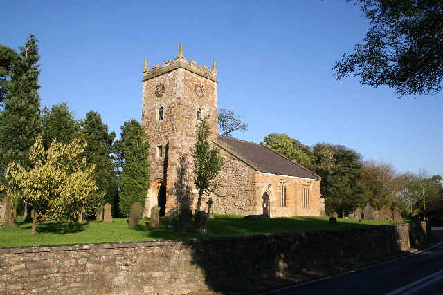
Aside from its natural beauty, Biscathorpe Park also boasts a rich cultural heritage. The park is dotted with historical landmarks, including the remains of a medieval village and a Roman road. These relics provide a glimpse into the area's past and offer visitors a chance to connect with the history of the land.
Whether you are a nature lover, history enthusiast, or simply seeking a tranquil escape, Biscathorpe Park in Lincolnshire offers a diverse and enchanting experience. With its stunning landscapes, abundant wildlife, and historical significance, it is a must-visit destination for both locals and tourists alike.
If you have any feedback on the listing, please let us know in the comments section below.
Biscathorpe Park Images
Images are sourced within 2km of 53.34322/-0.15616339 or Grid Reference TF2284. Thanks to Geograph Open Source API. All images are credited.


Biscathorpe Park is located at Grid Ref: TF2284 (Lat: 53.34322, Lng: -0.15616339)
Administrative County: Lincolnshire
District: East Lindsey
Police Authority: Lincolnshire
What 3 Words
///parading.ends.today. Near Louth, Lincolnshire
Nearby Locations
Related Wikis
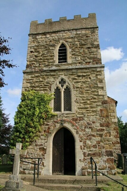
Biscathorpe
Biscathorpe is an ecclesiastical parish, deserted medieval village and former civil parish, now in the parish of Gayton le Wold, in the East Lindsey district...
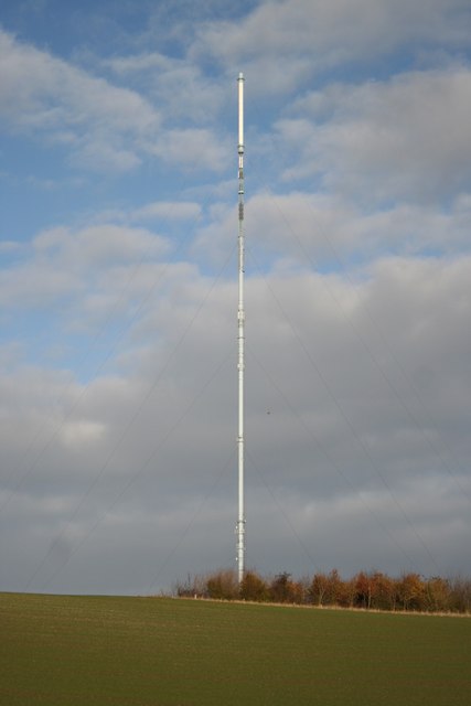
Belmont transmitting station
The Belmont transmitting station is a broadcasting and telecommunications facility next to the B1225, 1 mile (1.6 km) west of the village of Donington...

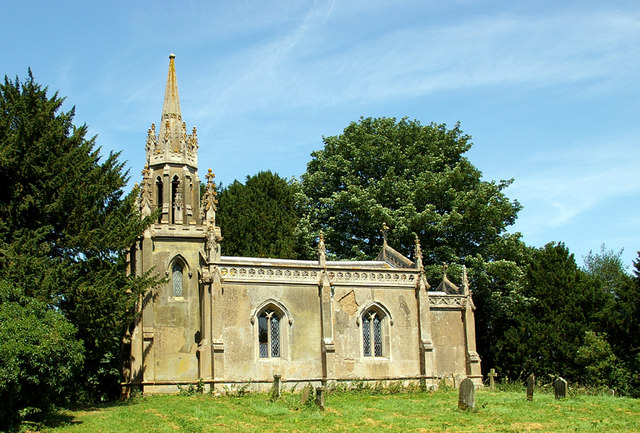
Gayton le Wold
Gayton le Wold is a village and civil parish in the East Lindsey district of Lincolnshire, England. It lies 6 miles (10 km) west from Louth, 3 miles (5...
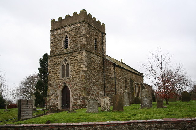
Donington on Bain
Donington on Bain is a village and civil parish in the East Lindsey district of Lincolnshire, England. The village is approximately 6 miles (10 km) south...
Burgh on Bain
Burgh on Bain is a village and civil parish in the East Lindsey district of Lincolnshire, England. It is situated on the A157 road, 7 miles (11 km) west...
Grimblethorpe
Grimblethorpe is a hamlet in the East Lindsey district of Lincolnshire, England. It is situated 6 miles (10 km) west from Louth and just north of the village...
Girsby, Lincolnshire
Girsby is a hamlet in the East Lindsey district of Lincolnshire, England. It is situated less than 1 mile (2 km) north from the A157 road, 7 miles (11...
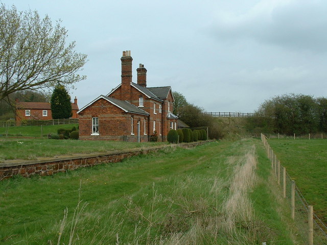
Louth to Bardney Line
The Louth to Bardney Line was an English railway line built by the Louth and Lincoln Railway Company, in Lincolnshire, England. It opened in stages between...
Nearby Amenities
Located within 500m of 53.34322,-0.15616339Have you been to Biscathorpe Park?
Leave your review of Biscathorpe Park below (or comments, questions and feedback).