Buckland Green
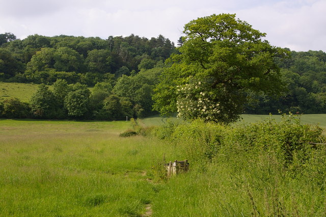
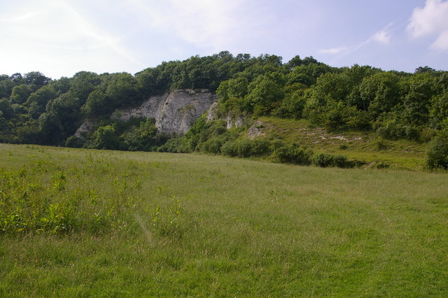
Downs, Moorland in Surrey Mole Valley
England
Buckland Green
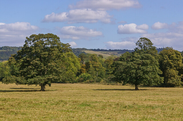
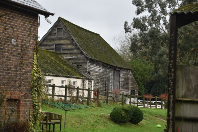
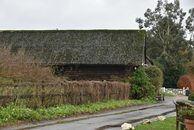
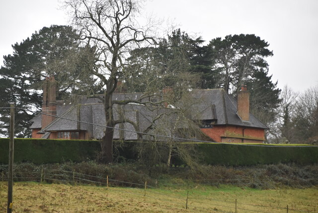
Buckland Green is a picturesque village located in the county of Surrey, England. Nestled amidst the stunning Surrey Hills, the village is surrounded by an abundance of natural beauty, including rolling downs and vast moorland.
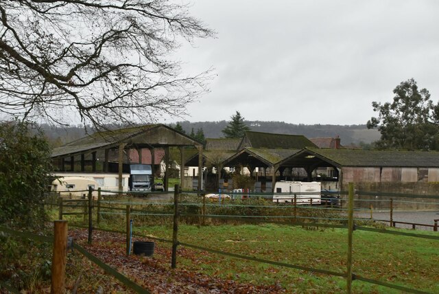
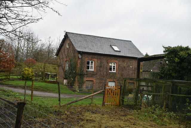
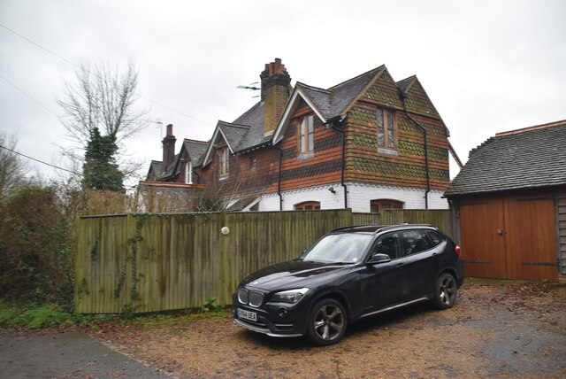
The village itself is small and quaint, with charming traditional cottages lining its narrow streets. It is home to a close-knit community known for its friendly and welcoming nature. The village has a well-maintained green, where locals often gather for social events and community activities.
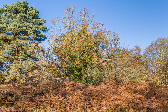
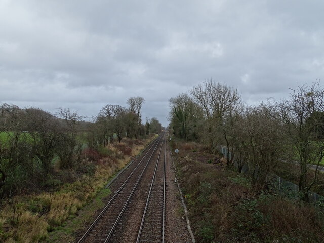
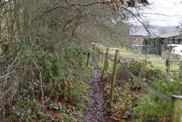
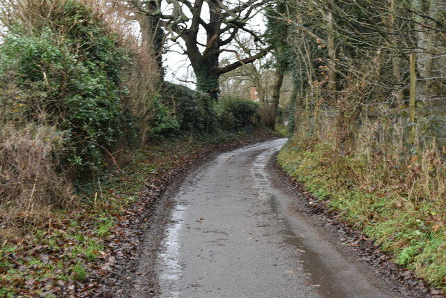
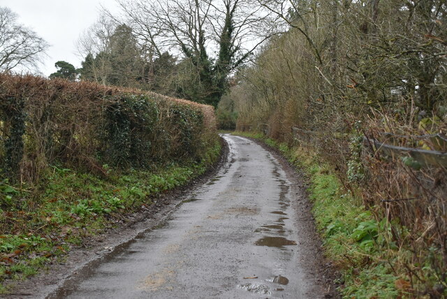
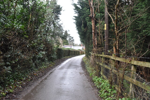
The surrounding downs and moorland offer a plethora of outdoor activities for nature enthusiasts. Hiking and walking trails crisscross the area, providing stunning views of the countryside. Additionally, the moorland is home to a rich variety of flora and fauna, making it a popular spot for birdwatching and wildlife enthusiasts.
Buckland Green is well-connected to larger towns and cities in the region. Nearby, the market town of Dorking offers a range of amenities, including shops, restaurants, and leisure facilities. The village also benefits from excellent transport links, with regular train services connecting it to London and other major cities.
Overall, Buckland Green is a serene and idyllic village, offering residents and visitors alike the opportunity to explore the natural beauty of the Surrey countryside. With its charming atmosphere and stunning surroundings, it is a truly desirable place to live or visit for those seeking a peaceful and scenic retreat.
If you have any feedback on the listing, please let us know in the comments section below.
Buckland Green Images
Images are sourced within 2km of 51.250724/-0.24107012 or Grid Reference TQ2251. Thanks to Geograph Open Source API. All images are credited.


Buckland Green is located at Grid Ref: TQ2251 (Lat: 51.250724, Lng: -0.24107012)
Administrative County: Surrey
District: Mole Valley
Police Authority: Surrey
What 3 Words
///oddly.ending.began. Near Lower Kingswood, Surrey
Nearby Locations
Related Wikis

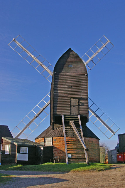
Buckland Windmill
Buckland Windmill is a grade II listed smock mill at Buckland, Surrey, England which has been restored to working order. It is the only surviving wind...
Buckland, Surrey
Buckland is a village and civil parish in the Mole Valley district of Surrey, England, between Dorking and Reigate, its nearest towns. The civil parish...
Dawcombe
Dawcombe is a 23-hectare (57-acre) nature reserve north-west of Reigate in Surrey. It is managed by the Surrey Wildlife Trust. It is part of the Mole...
Betchworth Quarry and Lime Kilns
Betchworth Quarry and Lime Kilns is a 27-hectare (67-acre) nature reserve north of Betchworth in Surrey. Betchworth Quarry only is managed by Surrey Wildlife...

Mogador, Surrey
Mogador is a hamlet in the Reigate and Banstead district, in the English county of Surrey. It is at the edge of Banstead Heath, which provides it a green...

Reigate Heath
Reigate Heath is a 61.7-hectare (152-acre) biological Site of Special Scientific Interest west of Reigate in Surrey. An area of 51.6 hectares (128 acres...

Colley Hill
Colley Hill is part of the North Downs escarpment in the North Downs, Surrey, England. It is about 1 km east of Buckland Hills and 1 km west of Reigate...
Reigate Heath Windmill
Reigate Heath Windmill is a grade II* listed post mill at Reigate Heath, Surrey, England which has been restored and is used as a chapel. It is thought...
Nearby Amenities
Located within 500m of 51.250724,-0.24107012Have you been to Buckland Green?
Leave your review of Buckland Green below (or comments, questions and feedback).