Biscombe
Settlement in Devon Somerset West and Taunton
England
Biscombe

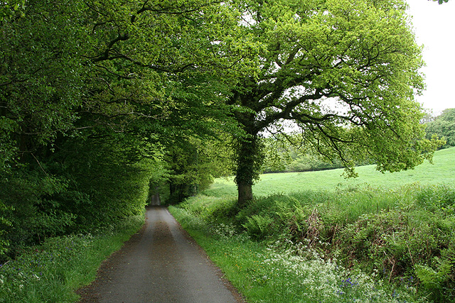
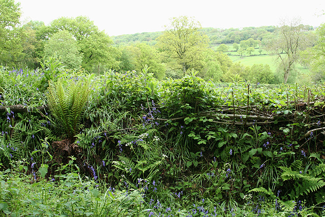
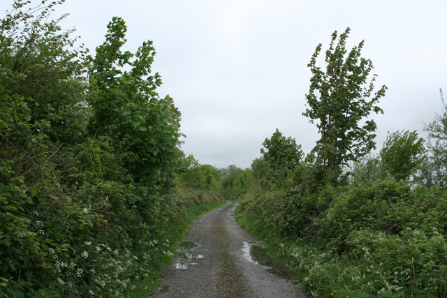
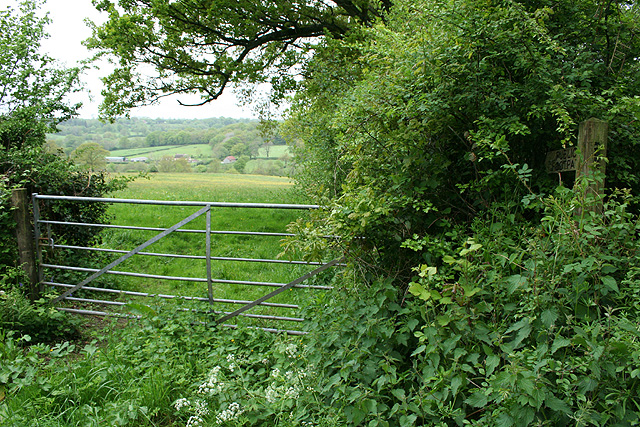
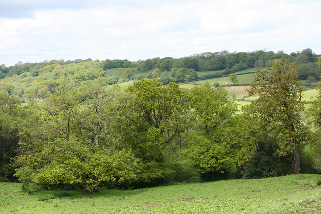
Biscombe is a small village located in the county of Devon, England. Situated in the South West region of the country, it lies within the picturesque Dartmoor National Park, offering stunning natural landscapes and a tranquil atmosphere. The village is nestled amidst rolling hills and lush greenery, providing a perfect getaway for those seeking peace and tranquility.
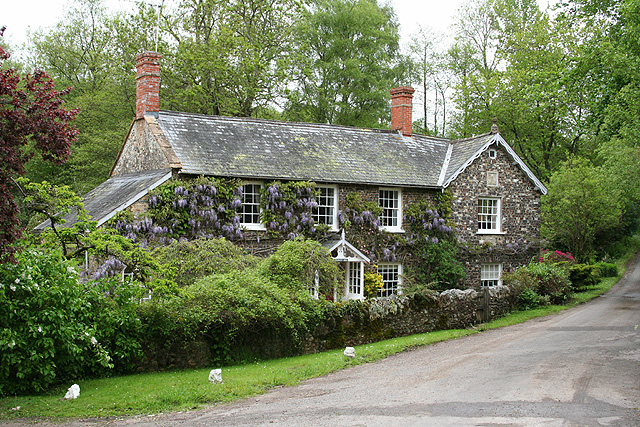
Biscombe is known for its charming, traditional architecture, with many of its buildings dating back to the medieval period. The village boasts a close-knit community, with a population of approximately 500 residents. The locals take great pride in maintaining the village's historic character and preserving its heritage.
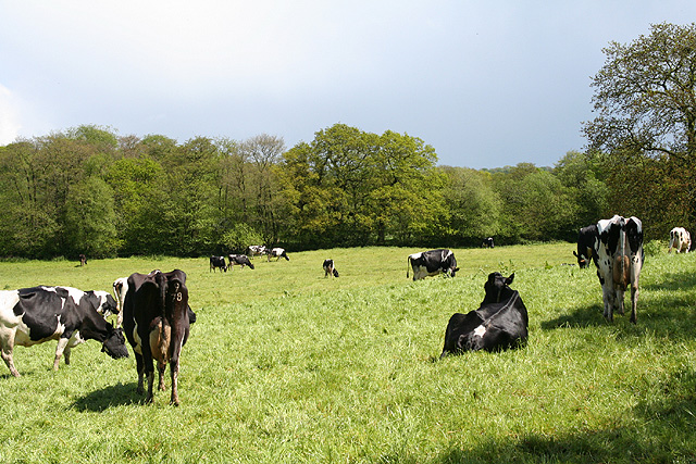
The village is surrounded by an abundance of outdoor activities, making it a popular destination for nature enthusiasts. Visitors can explore the nearby Dartmoor National Park, which offers vast moorlands, ancient woodlands, and scenic hiking trails. The area is also well-known for its wildlife, including wild ponies, deer, and various bird species.
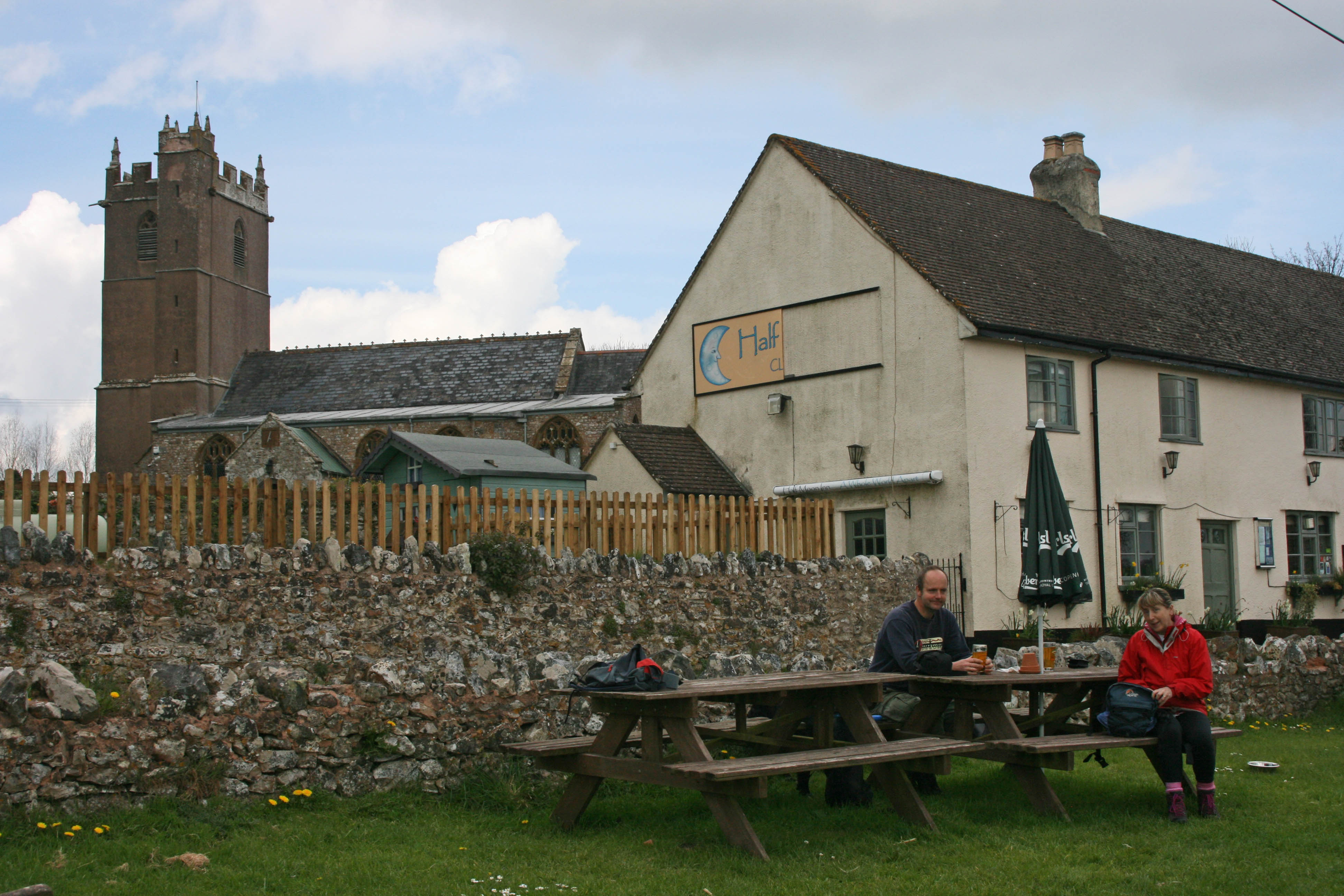
Although Biscombe is a small village, it offers a range of amenities for both residents and visitors. There is a local pub, which serves traditional Devonshire cuisine and offers a warm and friendly atmosphere. Additionally, there are a few small shops and a post office that cater to the daily needs of the community.
Overall, Biscombe, Devon, is a charming village that combines natural beauty with a sense of history. Its idyllic location and friendly community make it a hidden gem for those seeking a peaceful retreat in the heart of the English countryside.
If you have any feedback on the listing, please let us know in the comments section below.
Biscombe Images
Images are sourced within 2km of 50.913644/-3.174232 or Grid Reference ST1713. Thanks to Geograph Open Source API. All images are credited.


Biscombe is located at Grid Ref: ST1713 (Lat: 50.913644, Lng: -3.174232)
Administrative County: Somerset
District: Somerset West and Taunton
Police Authority: Avon and Somerset
What 3 Words
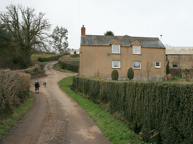
///pacemaker.wool.contexts. Near Hemyock, Devon
Nearby Locations
Related Wikis

Ringdown SSSI, Somerset
Ringdown (grid reference ST178155) is a 4.0 hectare (9.9 acre) biological Site of Special Scientific Interest west of Burnworthy in the Blackdown Hills...

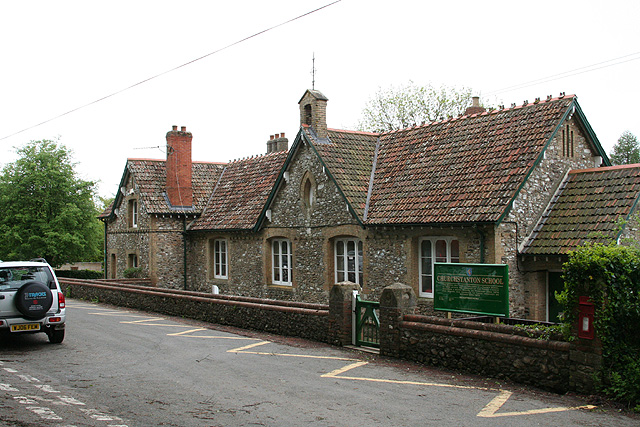
Churchstanton
Churchstanton is a village and civil parish in Somerset, England, situated within the Blackdown Hills Area of Outstanding Natural Beauty, on the River...
Clayhidon
Clayhidon () is a village and civil parish in Mid Devon, England. The parish church is St. Andrews. The parish is in the Blackdown Hills and its northern...

Southey and Gotleigh Moors
Southey and Gotleigh Moors (grid reference ST192110) is an 81.3 hectare (200.1 acre) biological Site of Special Scientific Interest on the Blackdown Hills...
Ashculme
Ashculme is a village in Devon, England.

RAF Upottery
RAF Upottery (also known as Smeatharpe) is a former Royal Air Force station in East Devon, England. The airfield is located near the village of Upottery...

RAF Culmhead
Royal Air Force Culmhead or more simply RAF Culmhead is a former Royal Air Force station, situated at Churchstanton on the Blackdown Hills in Somerset...
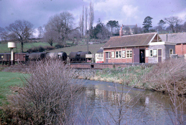
Hemyock railway station
Hemyock railway station served the village of Hemyock, Devon, England, from 1876 to 1963 on the Culm Valley Light Railway. == History == The station was...
Have you been to Biscombe?
Leave your review of Biscombe below (or comments, questions and feedback).