Biscombe Hill
Hill, Mountain in Devon Somerset West and Taunton
England
Biscombe Hill

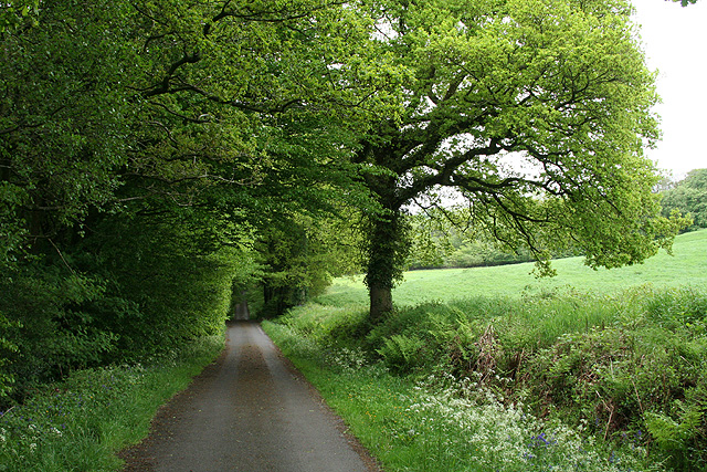
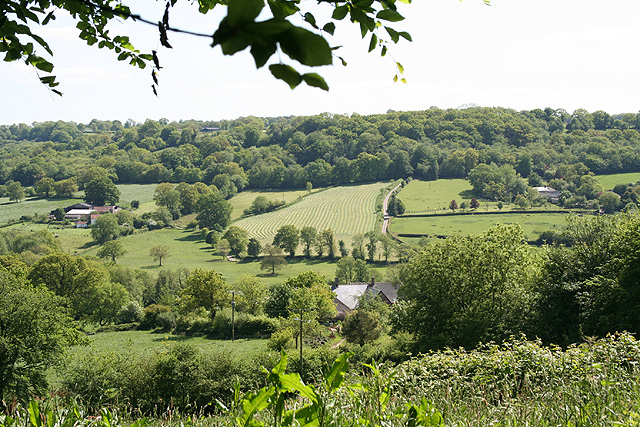
Biscombe Hill, located in Devon, England, is a prominent hill that forms part of the larger Exmoor National Park. Rising to an elevation of 307 meters (1,007 feet), it is classified as a hill rather than a mountain. Biscombe Hill is situated near the small village of Wootton Courtenay, offering breathtaking views of the surrounding countryside.
The hill is composed of resilient sedimentary rocks, primarily sandstones and slates, which have been shaped by weathering and erosion over thousands of years. Its rugged terrain is characterized by steep slopes and rocky outcrops, providing a challenging yet rewarding experience for hikers and climbers.
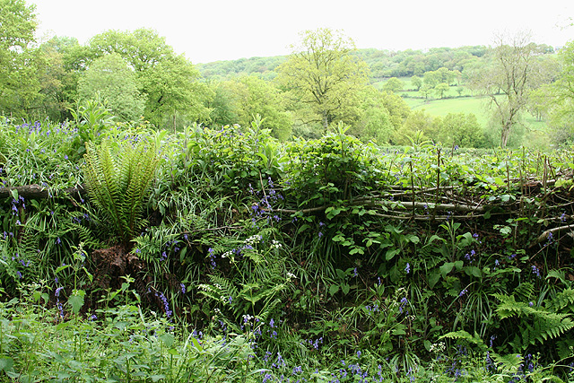
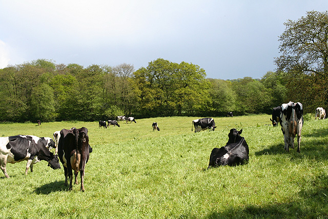
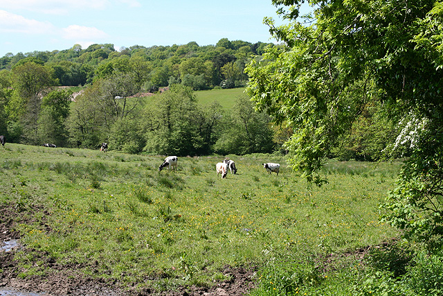
Biscombe Hill is blessed with diverse flora and fauna, making it an ideal habitat for various species. The hillside is adorned with heather, gorse, and bracken, creating a colorful panorama throughout the year. It is also home to a variety of bird species, such as buzzards and peregrine falcons, which can be observed soaring above the hill.
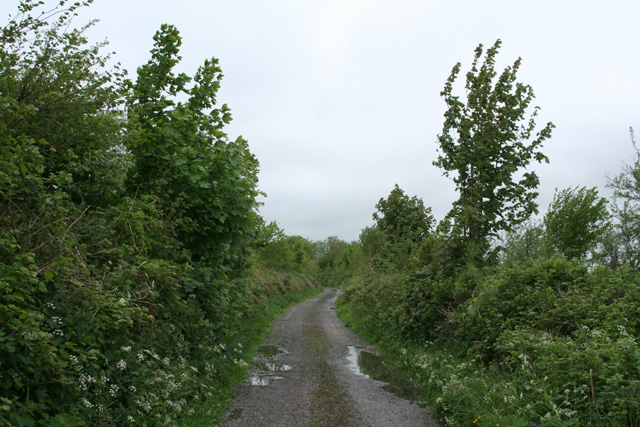
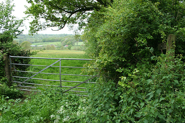
The area surrounding Biscombe Hill is a haven for outdoor enthusiasts. Numerous walking trails and footpaths crisscross the hill, offering opportunities for leisurely strolls or more adventurous hikes. The nearby Exmoor National Park provides additional scenic landscapes, with its rolling hills, ancient woodlands, and picturesque valleys.
Visitors to Biscombe Hill can enjoy panoramic views of the surrounding countryside, including the Bristol Channel and the distant hills of South Wales. On clear days, the vista extends to the moorlands of Exmoor, adding to the allure of this natural wonder in Devon.
If you have any feedback on the listing, please let us know in the comments section below.
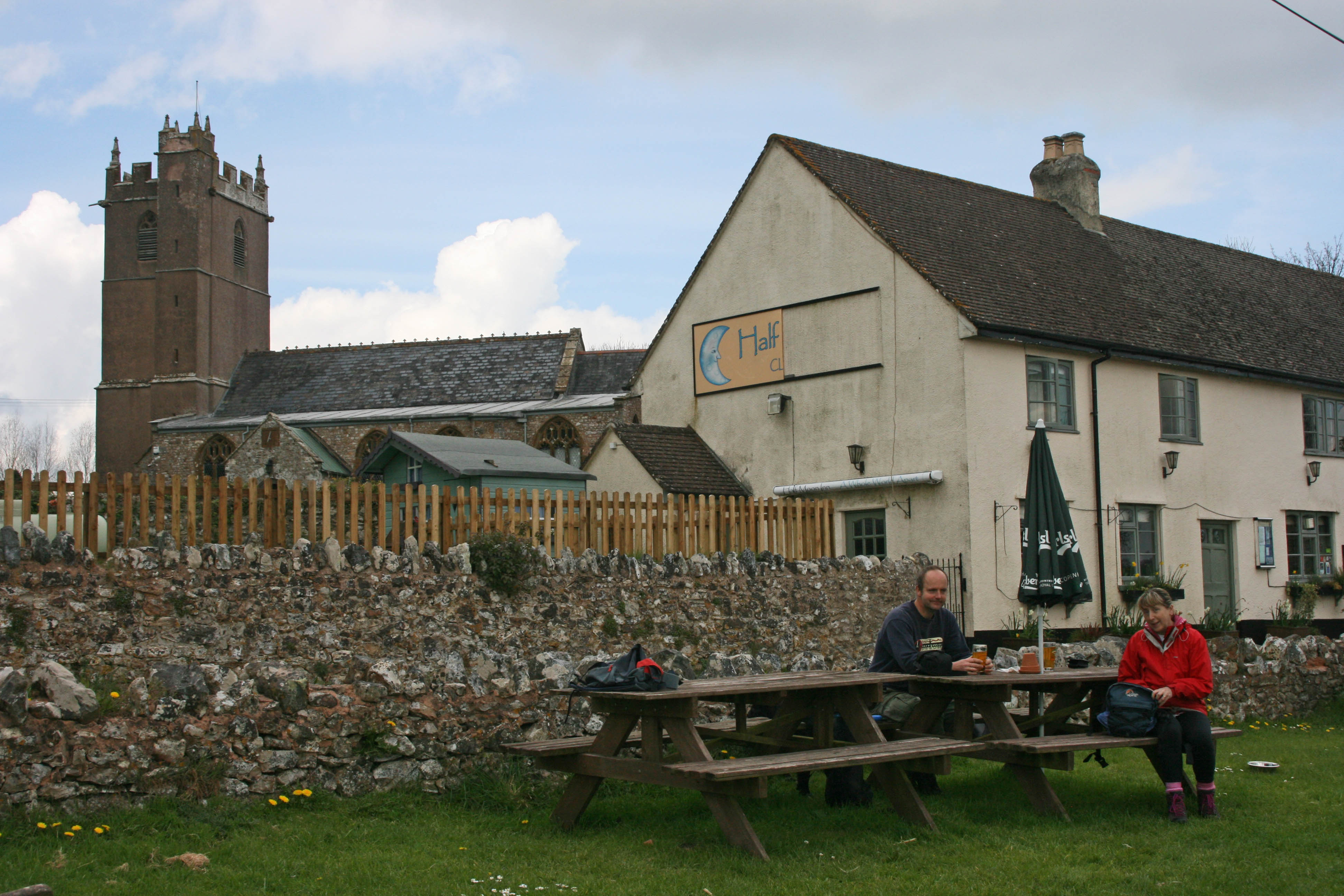
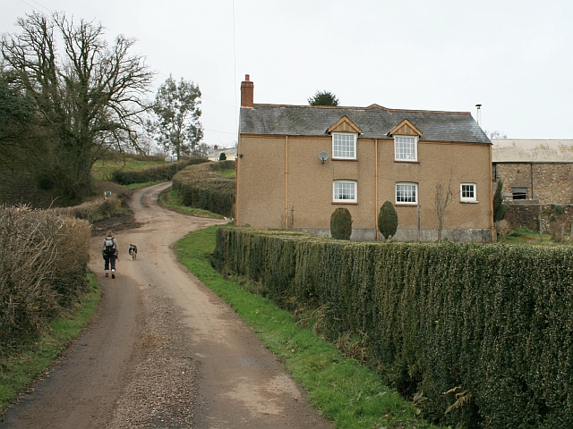
Biscombe Hill Images
Images are sourced within 2km of 50.911543/-3.1806358 or Grid Reference ST1713. Thanks to Geograph Open Source API. All images are credited.


Biscombe Hill is located at Grid Ref: ST1713 (Lat: 50.911543, Lng: -3.1806358)
Administrative County: Somerset
District: Somerset West and Taunton
Police Authority: Avon and Somerset
What 3 Words
///importers.lingering.quit. Near Hemyock, Devon
Nearby Locations
Related Wikis

Ringdown SSSI, Somerset
Ringdown (grid reference ST178155) is a 4.0 hectare (9.9 acre) biological Site of Special Scientific Interest west of Burnworthy in the Blackdown Hills...
Clayhidon
Clayhidon () is a village and civil parish in Mid Devon, England. The parish church is St. Andrews. The parish is in the Blackdown Hills and its northern...

Churchstanton
Churchstanton is a village and civil parish in Somerset, England, situated within the Blackdown Hills Area of Outstanding Natural Beauty, on the River...

Southey and Gotleigh Moors
Southey and Gotleigh Moors (grid reference ST192110) is an 81.3 hectare (200.1 acre) biological Site of Special Scientific Interest on the Blackdown Hills...
Ashculme
Ashculme is a village in Devon, England.
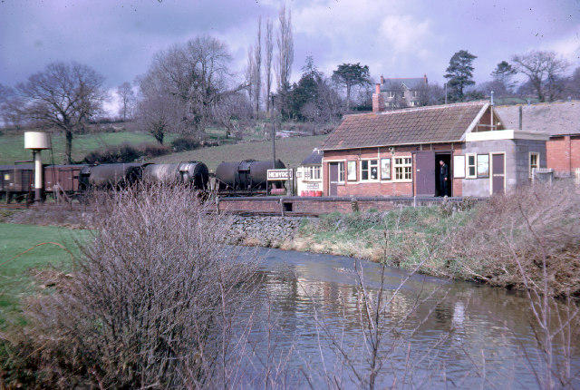
Hemyock railway station
Hemyock railway station served the village of Hemyock, Devon, England, from 1876 to 1963 on the Culm Valley Light Railway. == History == The station was...
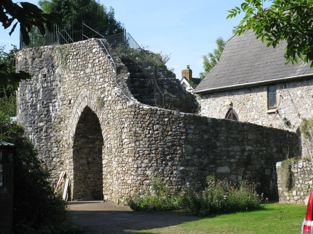
Hemyock Castle
Hemyock Castle is a ruined 14th-century castle in the village of Hemyock, Devon, England. It was built by Sir William Asthorpe after 1380 to a quadrangular...

RAF Upottery
RAF Upottery (also known as Smeatharpe) is a former Royal Air Force station in East Devon, England. The airfield is located near the village of Upottery...
Nearby Amenities
Located within 500m of 50.911543,-3.1806358Have you been to Biscombe Hill?
Leave your review of Biscombe Hill below (or comments, questions and feedback).