Bagborough Hill
Hill, Mountain in Somerset Somerset West and Taunton
England
Bagborough Hill
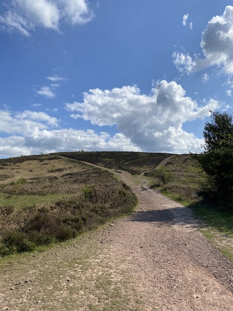
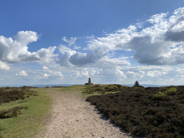
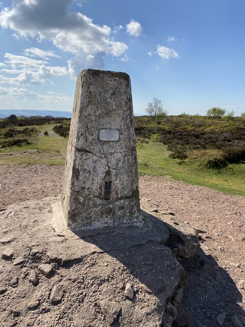
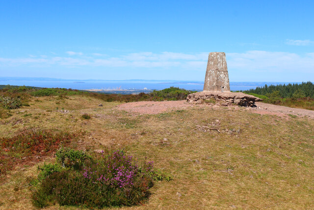
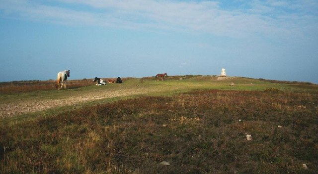
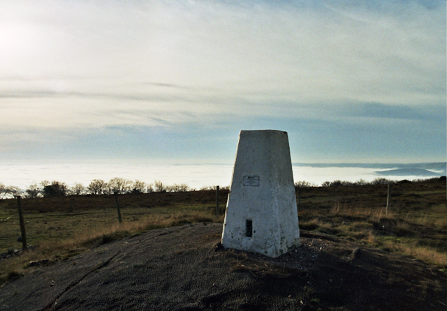
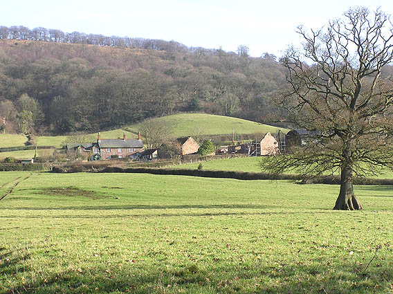
Bagborough Hill is a prominent hill located in the county of Somerset, England. Situated near the village of Triscombe, it forms part of the Quantock Hills, which are designated as an Area of Outstanding Natural Beauty. Bagborough Hill stands at an elevation of approximately 422 meters (1385 feet) above sea level, making it one of the highest points in the Quantock Hills.
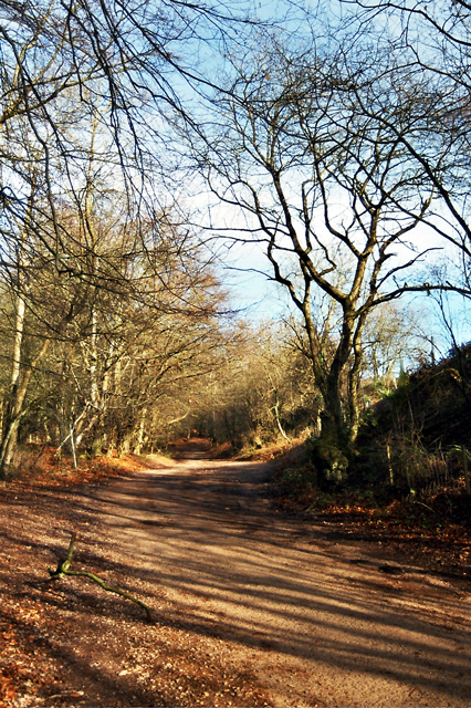
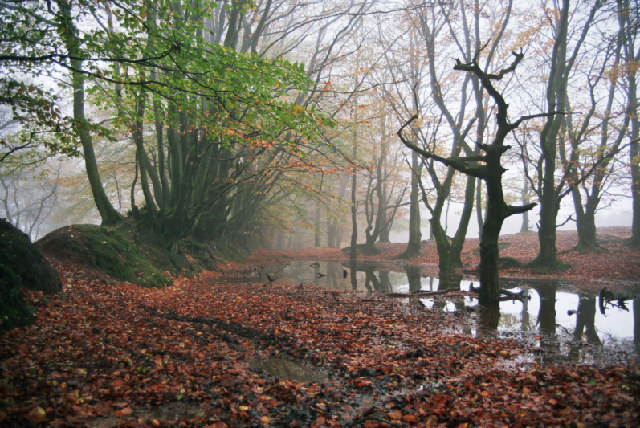
The hill is composed mainly of sandstone and offers breathtaking panoramic views of the surrounding countryside. It is covered in lush grasslands, heathland, and dense woodlands, providing a diverse habitat for a variety of plant and animal species. Visitors can spot a range of wildlife, including deer, foxes, badgers, and numerous bird species, while exploring the hill.
Bagborough Hill is also known for its historical significance. The hill features an ancient hillfort, believed to have been constructed during the Iron Age. The remains of earthworks and ramparts can still be seen today, providing insight into the hillfort's defensive structures. The site has been extensively studied by archaeologists, uncovering artifacts and evidence of human activity dating back thousands of years.
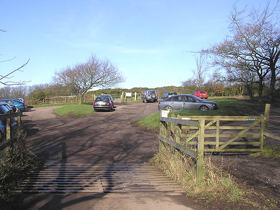
The hill offers a range of recreational activities for outdoor enthusiasts. It is a popular spot for hiking, with several walking trails leading to the summit, where visitors can enjoy breathtaking views of the surrounding landscape. Additionally, the hill is a favored location for paragliding and hang gliding, thanks to its elevated position and favorable wind conditions.
Bagborough Hill is a captivating natural and historical landmark, drawing visitors from near and far to experience its beauty and explore its rich heritage.
If you have any feedback on the listing, please let us know in the comments section below.
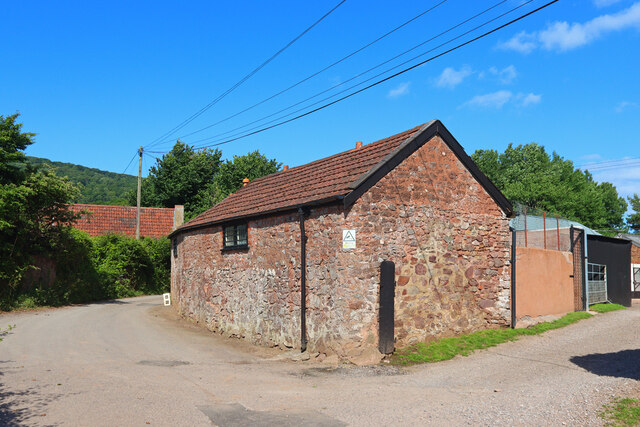
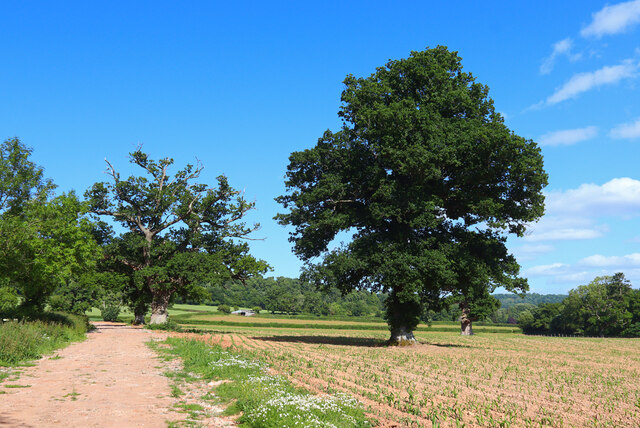
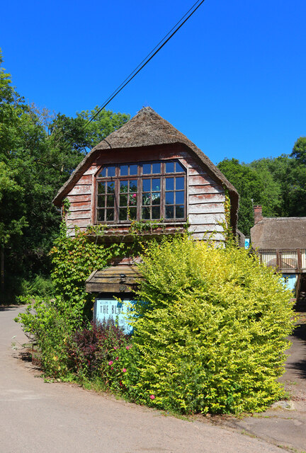
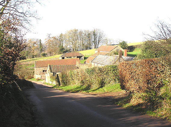
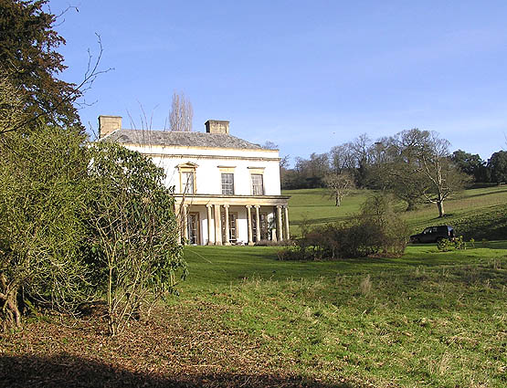
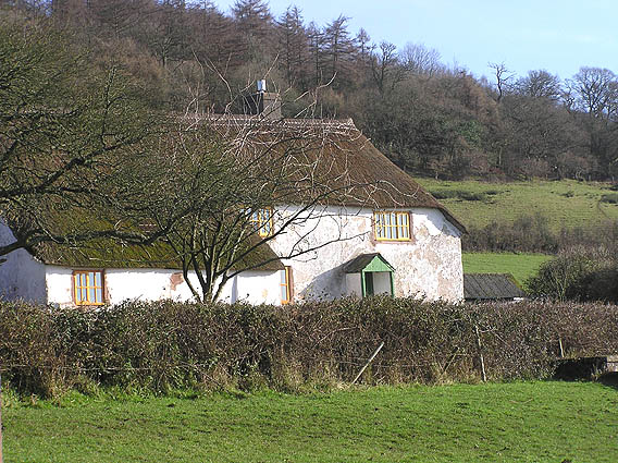
Bagborough Hill Images
Images are sourced within 2km of 51.104234/-3.1852965 or Grid Reference ST1734. Thanks to Geograph Open Source API. All images are credited.

Bagborough Hill is located at Grid Ref: ST1734 (Lat: 51.104234, Lng: -3.1852965)
Administrative County: Somerset
District: Somerset West and Taunton
Police Authority: Avon and Somerset
What 3 Words
///riders.graph.cluttered. Near Bishops Lydeard, Somerset
Nearby Locations
Related Wikis

Wills Neck
Wills Neck is the highest summit on the Quantock Hills and one of the highest points in Somerset, England. Although only 1261 ft (384 m) high, it qualifies...

Bagborough House
Bagborough House in West Bagborough, Somerset, England was built circa 1730. It was designated a Grade II* listed building on 4 May 1984.Bagborough House...

Church of St Pancras, West Bagborough
The Anglican Church of St Pancras in West Bagborough, Somerset, England was built in the 15th century. It is a Grade II* listed building. == History... ==

West Bagborough
West Bagborough is a village and civil parish in Somerset, England, about 5 miles (8.0 km) north of Taunton. In 2011, the village had a population of 358...

West Bagborough Hoard
The West Bagborough Hoard is a hoard of 670 Roman coins and 72 pieces of hacksilver found in October 2001 by metal detectorist James Hawkesworth near...

Cockercombe
Cockercombe is a hamlet within the civil parish of West Bagborough in the Somerset West and Taunton district of Somerset, England, approximately 8.3 miles...

Cockercombe tuff
Cockercombe Tuff is a greenish-grey, hard pyroclastic rock, formed by the compression of volcanic ash containing high quantities of chlorite, which gives...

Plainsfield Camp
Plainsfield Camp (or Park Plantation or Cockercombe Castle) is a possible Iron Age earthwork on the Quantock Hills near Aisholt in Somerset, England.The...
Nearby Amenities
Located within 500m of 51.104234,-3.1852965Have you been to Bagborough Hill?
Leave your review of Bagborough Hill below (or comments, questions and feedback).