Birley

Settlement in Derbyshire

England

Birley

A6135 Moor Valley, at Moor Valley Close
A6135 Moor Valley, at Moor Valley Close Credit: Colin Pyle

Birley is a small village located in the county of Derbyshire, England. Situated in the eastern part of the county, it lies within the administrative district of North East Derbyshire. With a population of around 500 residents, Birley offers a peaceful and rural setting, surrounded by picturesque countryside.

The village itself is comprised of a cluster of stone-built houses, many of which date back several centuries, giving Birley a charming and historic atmosphere. The architecture reflects the traditional English countryside style, with well-maintained gardens and quaint cottages.

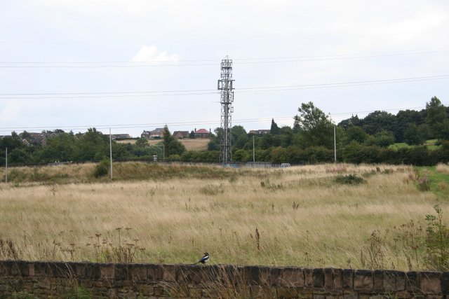
Birley is known for its close proximity to several natural attractions, making it a popular destination for outdoor enthusiasts. The nearby Birley Moor is a vast expanse of heather-covered moorland, offering breathtaking views of the surrounding landscape. It is a haven for hikers, birdwatchers, and nature lovers alike.

The village is also home to the Birley Stone, a historic monument believed to have been erected during the Neolithic period. This ancient standing stone is steeped in folklore and is a significant archaeological site, attracting visitors interested in the region's rich history.

Despite its small size, Birley boasts a strong sense of community, with a local village hall hosting various events and gatherings throughout the year. Additionally, it is within easy reach of larger towns such as Sheffield and Chesterfield, providing residents with access to a wider range of amenities and services.

Overall, Birley offers a tranquil and idyllic countryside retreat, perfect for those seeking a slower pace of life amidst stunning natural surroundings.

If you have any feedback on the listing, please let us know in the comments section below.
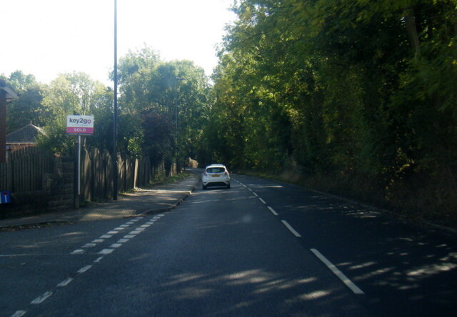
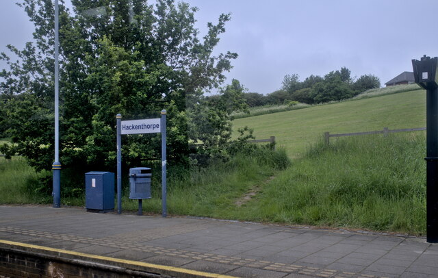
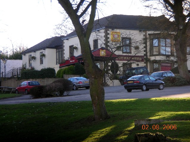
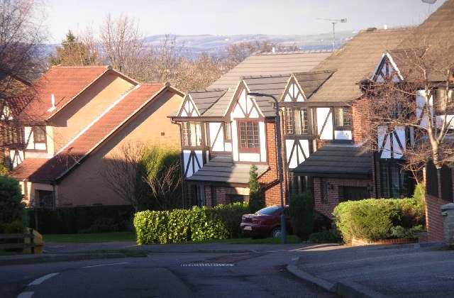
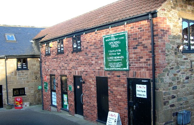
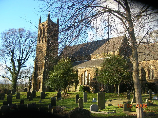
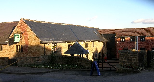
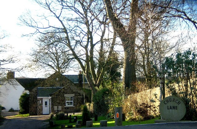
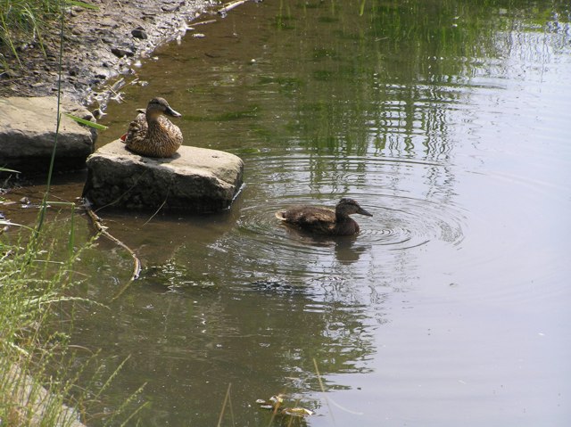
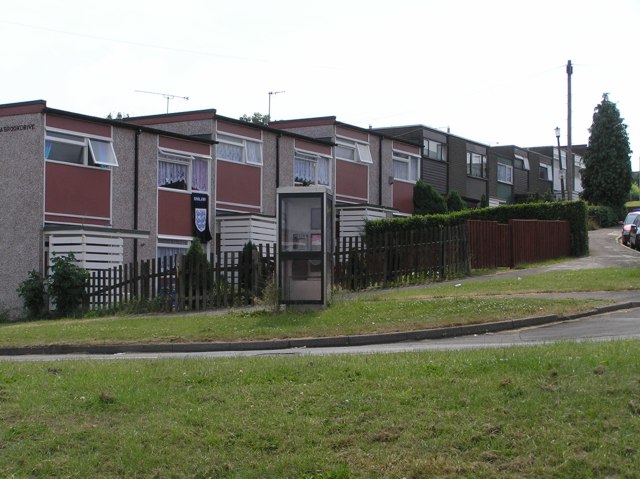
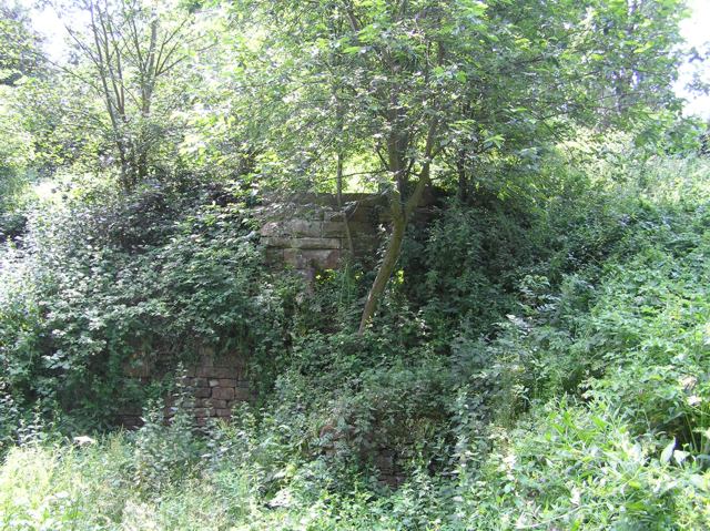
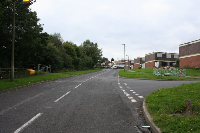
Birley Images

Images are sourced within 2km of 53.342393/-1.4006805 or Grid Reference SK4083. Thanks to Geograph Open Source API. All images are credited.

A6135 Moor Valley, at Moor Valley Close
Hackenthorpe tram stop
Ridgeway Arms, Mosborough Moor, Nr Sheffield.
Parkgate Drive, off Quarry Hill, near Ridgeway.
Ridgeway Craft Centre, Near Sheffield
Ridgeway Church, Near Sheffield.
Ridgeway Craft Centre, Near Sheffield (NE Derbyshire)
Church Lane, Ridgeway, Nr Sheffield
St. John's Ridgeway from west The village of Ridgeway has a string sense of identity as evidence their comprehensive website : <span class="nowrap"><a title="http://www.ridgewayvillage.org.uk" rel="nofollow ugc noopener" href="http://www.ridgewayvillage.org.uk">Link</a><img style="margin-left:2px;" alt="External link" title="External link - shift click to open in new window" src="https://s1.geograph.org.uk/img/external.png" width="10" height="10"/></span>
St. John's Ridgeway from west
The village of Ridgeway has a string sense of identity as evidence their comprehensive website : LinkExternal link
Carr Forge Dam In the Shirebrook Valley below Woodhouse were several waterwheels, possibly dating back to Tudor times, and part of Sheffield's early industrial heritage. This shows Carr Forge Dam with the water levels lower than usual because of the prolonged dry spell. The Shire Brook was in times past the border between the ancient kingdoms of Mercia and Northumbria and more lately between Yorkshire and Derbyshire, hence the name Shire Brook.
Carr Forge Dam
In the Shirebrook Valley below Woodhouse were several waterwheels, possibly dating back to Tudor times, and part of Sheffield's early industrial heritage. This shows Carr Forge Dam with the water levels lower than usual because of the prolonged dry spell. The Shire Brook was in times past the border between the ancient kingdoms of Mercia and Northumbria and more lately between Yorkshire and Derbyshire, hence the name Shire Brook.
Shire Brook In the Shirebrook Valley, the brook itself fed several waterwheels in times past including <a href="https://www.geograph.org.uk/photo/194486">SK4184 : Carr Forge Dam</a>.
Shire Brook
In the Shirebrook Valley, the brook itself fed several waterwheels in times past including SK4184 : Carr Forge Dam.
Stone Lane, Woodhouse This road once served the sewage works and Badger Tools. Both have now gone, but the sewage works buildings have been converted into buildings for the Shirebrook Valley Nature Reserve. The end of the road (behind me) seems to be a place where old cars go to die, or be burned out by the local yoofs. The speed ramps are probably there to stop the yoofs damaging themselves too much when the cars are crashed into the gates at the end.
Stone Lane, Woodhouse
This road once served the sewage works and Badger Tools. Both have now gone, but the sewage works buildings have been converted into buildings for the Shirebrook Valley Nature Reserve. The end of the road (behind me) seems to be a place where old cars go to die, or be burned out by the local yoofs. The speed ramps are probably there to stop the yoofs damaging themselves too much when the cars are crashed into the gates at the end.
Ducks on Carr Forge Dam Since a youngster nearly killed himself when his fishing pole touched overhead live wires a few years ago, fishing on the dam has been banned by order of Sheffield Council, so the ducks have free rein. Here, mummy-duck sits on the stone keeping an eye on youngster. As I cycled past, another five of this year's brood appeared out from under the shelter of the bank.
Ducks on Carr Forge Dam
Since a youngster nearly killed himself when his fishing pole touched overhead live wires a few years ago, fishing on the dam has been banned by order of Sheffield Council, so the ducks have free rein. Here, mummy-duck sits on the stone keeping an eye on youngster. As I cycled past, another five of this year's brood appeared out from under the shelter of the bank.
Houses on Scowerdons estate Can't really say much more. This is the bottom end of Hackenthorpe, the opposite side of the Shirebrook Valley to Woodhouse and Beighton.
Houses on Scowerdons estate
Can't really say much more. This is the bottom end of Hackenthorpe, the opposite side of the Shirebrook Valley to Woodhouse and Beighton.
Remains of Nether Wheel, Woodhouse Along with <a href="https://www.geograph.org.uk/photo/194486">SK4184 : Carr Forge Dam</a>, the Nether Wheel was yet another of the waterwheels along the Shirebrook Valley. This one still has visible remains of the buildings, buried in woodland although accessible by waymarked footpaths. This wheel probably drove grinding stones or similar for the manufacture of agricultural tools.
Remains of Nether Wheel, Woodhouse
Along with SK4184 : Carr Forge Dam, the Nether Wheel was yet another of the waterwheels along the Shirebrook Valley. This one still has visible remains of the buildings, buried in woodland although accessible by waymarked footpaths. This wheel probably drove grinding stones or similar for the manufacture of agricultural tools.
Silkstone Road, Hackenthorpe One of the many newer roads in the area, certainly not appearing on the 1940's map.
Silkstone Road, Hackenthorpe
One of the many newer roads in the area, certainly not appearing on the 1940's map.
Communications mast, Birley It's a communications mast. It's accessed from a short lane called Dent Lane off Birley Lane. The latter is part of the tram route from Halfway into Sheffield.
Communications mast, Birley
It's a communications mast. It's accessed from a short lane called Dent Lane off Birley Lane. The latter is part of the tram route from Halfway into Sheffield.
Tram crossing / road junction, Birley Lane To the left is Birley Lane. To the right is Sheffield Road. Straight on up is Birley Moor Road and down behind me is Moor Valley. The tram route to the right heads towards Crystal Peaks and the ultimate terminus at Halfway. To the left (west) it heads up past Birley Golf Course, on to the Manor Top and down into Sheffield.
Tram crossing / road junction, Birley Lane
To the left is Birley Lane. To the right is Sheffield Road. Straight on up is Birley Moor Road and down behind me is Moor Valley. The tram route to the right heads towards Crystal Peaks and the ultimate terminus at Halfway. To the left (west) it heads up past Birley Golf Course, on to the Manor Top and down into Sheffield.
Show me another place!

Birley is located at Grid Ref: SK4083 (Lat: 53.342393, Lng: -1.4006805)

Unitary Authority: Sheffield

Police Authority: South Yorkshire

What 3 Words

///test.humid.comical. Near Beighton, South Yorkshire

Nearby Locations

Birley Birley Spa Wood

Related Wikis

The Birley Academy

The Birley Academy, previously known as Birley Community College, is a secondary school in Birley, Sheffield, South Yorkshire, England. It is part of the...

Birley

Birley ward — which includes the districts of Base Green, Birley Estate, Charnock, Frecheville, Scowerdons and part of Hackenthorpe — is one of the 28...

Frecheville

Frecheville is a suburb five miles (8.0 km) south-east of Sheffield’s city centre. The estate was built in the 1930s when the area was in Derbyshire. However...

Frecheville Comprehensive

Frecheville Comprehensive School was a secondary school located in Frecheville, South Yorkshire, England. When built, the school was in Derbyshire, but...

Nearby Amenities

Located within 500m of 53.342393,-1.4006805
Railway: tram_crossing
Lat/Long: 53.3400433/-1.4019837
Birley Lane
Network: Supertram
Operator: Stagecoach
Public Transport: stop_position
Railway: tram_stop
Tram: yes
Lat/Long: 53.3404161/-1.3993742
Traffic Signals
Traffic Signals Direction: forward
Lat/Long: 53.340674/-1.3972952
Birley
Is In: South Yorkshire, England, UK
Place: neighbourhood
Lat/Long: 53.340682/-1.3964902
Bus Stop
Birley Moor Road/Birley Moor Close
Bus: yes
Naptan AtcoCode: 370021580
Naptan Bearing: N
Naptan CommonName: Birley Moor Road/Birley Moor Close
Naptan Indicator: 21580
Naptan Landmark: CROSSING LIGHTS
Naptan PlusbusZoneRef: ROTHCEN
Naptan Street: Birley Moor Road
Naptan Verified: no
Public Transport: platform
Source: naptan_import
Lat/Long: 53.3449902/-1.3955443
Bus Stop
Birley Moor Road/Thornbridge Drive
Bus: yes
Naptan AtcoCode: 370021581
Naptan Bearing: N
Naptan CommonName: Birley Moor Road/Thornbridge Drive
Naptan Indicator: 21581
Naptan Landmark: ROAD JUNCTION/OPPOSITE NO. 142
Naptan PlusbusZoneRef: ROTHCEN
Naptan Street: Birley Moor Road
Naptan Verified: no
Public Transport: platform
Source: naptan_import
Lat/Long: 53.3455768/-1.3960167
Bus Stop
Thornbridge Road/Thornbridge Drive
Bus: yes
Naptan AtcoCode: 370021586
Naptan Bearing: N
Naptan CommonName: Thornbridge Road/Thornbridge Drive
Naptan Indicator: 21586
Naptan Landmark: Road Junction
Naptan PlusbusZoneRef: ROTHCEN
Naptan Street: Thornbridge Road
Naptan Verified: no
Public Transport: platform
Source: naptan_import
Lat/Long: 53.3451486/-1.4002286
Bus Stop
Birley Moor Crescent/Birley Moor Avenue
Alt Name: Birley Moor Crescent/Birley Moor Avenue
Bus: yes
Naptan AltCommonName: Birley Moor Crescent/Birley Moor Avenue
Naptan AtcoCode: 370021587
Naptan Bearing: S
Naptan CommonName: Birley Moor Crescent/Birley Moor Avenue
Naptan Indicator: 21587
Naptan Landmark: Outside Frenchville Pub
Naptan PlusbusZoneRef: ROTHCEN
Naptan Street: Birley Moor Crescent
Naptan Verified: no
Public Transport: platform
Source: naptan_import
Lat/Long: 53.3429081/-1.3969429
Bus Stop
Thornbridge Drive/Hayfield Crescent
Alt Name: Thornbridge Drive/Hayfield Crescent
Bus: yes
Naptan AltCommonName: Thornbridge Drive/Hayfield Crescent
Naptan AtcoCode: 370022320
Naptan Bearing: NW
Naptan CommonName: Thornbridge Drive/Hayfield Crescent
Naptan Indicator: 22320
Naptan Landmark: 22320
Naptan PlusbusZoneRef: ROTHCEN
Naptan Street: Thornbridge Drive
Naptan Verified: no
Public Transport: platform
Source: naptan_import
Lat/Long: 53.3458551/-1.4051315
Bus Stop
Thornbridge Road/Thornbridge Grove
Bus: yes
Naptan AtcoCode: 370022326
Naptan Bearing: S
Naptan CommonName: Thornbridge Road/Thornbridge Grove
Naptan Indicator: 22326
Naptan Landmark: OPPOSITE NO. 50/52
Naptan PlusbusZoneRef: ROTHCEN
Naptan Street: Thornbridge Road
Naptan Verified: no
Public Transport: platform
Source: naptan_import
Lat/Long: 53.3428573/-1.4012924
Bus Stop
Thornbridge Road/Thornbridge Grove
Bus: yes
Naptan AtcoCode: 370022327
Naptan Bearing: NE
Naptan CommonName: Thornbridge Road/Thornbridge Grove
Naptan Indicator: 22327
Naptan Landmark: Opposite 19/21
Naptan PlusbusZoneRef: ROTHCEN
Naptan Street: Thornbridge Road
Naptan Verified: no
Public Transport: platform
Source: naptan_import
Lat/Long: 53.343793/-1.4013487
Bus Stop
Birley Moor Avenue/Thornbridge Rise
Alt Name: Birley Moor Avenue/Thornbridge Rise
Bus: yes
Naptan AltCommonName: Birley Moor Avenue/Thornbridge Rise
Naptan AtcoCode: 370023640
Naptan Bearing: E
Naptan CommonName: Birley Moor Avenue/Thornbridge Rise
Naptan Indicator: 23640
Naptan Landmark: 23640
Naptan PlusbusZoneRef: ROTHCEN
Naptan Street: Thornbridge Road
Naptan Verified: no
Public Transport: platform
Source: naptan_import
Lat/Long: 53.3426599/-1.4004738
Bus Stop
Birley Moor Avenue/Newstead Avenue
Alt Name: Birley Moor Avenue/Newstead Avenue
Bus: yes
Naptan AltCommonName: Birley Moor Avenue/Newstead Avenue
Naptan AtcoCode: 370023641
Naptan Bearing: NE
Naptan CommonName: Birley Moor Avenue/Newstead Avenue
Naptan Indicator: 23641
Naptan Landmark: 23641
Naptan PlusbusZoneRef: ROTHCEN
Naptan Street: Birley Moor Avenue
Naptan Verified: no
Public Transport: platform
Source: naptan_import
Lat/Long: 53.3433583/-1.3963634
Bus Stop
Thornbridge Drive/Thornbridge Road
Bus: yes
Naptan AtcoCode: 370023700
Naptan Bearing: SE
Naptan CommonName: Thornbridge Drive/Thornbridge Road
Naptan Indicator: 23700
Naptan Landmark: Opposite Number 35
Naptan PlusbusZoneRef: ROTHCEN
Naptan Street: Thornbridge Drive
Naptan Verified: no
Public Transport: platform
Source: naptan_import
Lat/Long: 53.3455463/-1.4005927
Bus Stop
Thornbridge Road/Birley Moor Avenue
Bus: yes
Naptan AtcoCode: 370023890
Naptan Bearing: N
Naptan CommonName: Thornbridge Road/Birley Moor Avenue
Naptan Indicator: 23890
Naptan Landmark: L/POST NO. 14
Naptan PlusbusZoneRef: ROTHCEN
Naptan Street: Thornbridge Road
Naptan Verified: no
Public Transport: platform
Source: naptan_import
Lat/Long: 53.3422596/-1.4013056
Bus Stop
Birley Moor Avenue/Newstead Avenue
Alt Name: Birley Moor Avenue/Newstead Avenue
Bus: yes
Naptan AltCommonName: Birley Moor Avenue/Newstead Avenue
Naptan AtcoCode: 370026748
Naptan Bearing: SW
Naptan CommonName: Birley Moor Avenue/Newstead Avenue
Naptan Indicator: 26748
Naptan Landmark: Path Between Houses
Naptan PlusbusZoneRef: ROTHCEN
Naptan Street: Birley Moor Avenue
Naptan Verified: no
Public Transport: platform
Source: naptan_import
Lat/Long: 53.3436572/-1.3950374
Birley Moor Avenue/Newstead Avenue
Alt Name: Birley Moor Avenue/Newstead Avenue
Naptan AltCommonName: Birley Moor Avenue/Newstead Avenue
Naptan AtcoCode: 370026801
Naptan Bearing: SW
Naptan BusStopType: CUS
Naptan CommonName: Birley Moor Avenue/Newstead Avenue
Naptan Indicator: 26801
Naptan Landmark: LAMP POST
Naptan PlusbusZoneRef: ROTHCEN
Naptan Street: Birley Moor Avenue
Naptan Verified: no
Source: naptan_import
Lat/Long: 53.3432861/-1.3963044
Bus Stop
Birley Lane Bus Stop
Bus: yes
Naptan AtcoCode: 370027177
Naptan Bearing: SW
Naptan CommonName: Tram Stop
Naptan Indicator: 27177
Naptan Landmark: Tram Stop
Naptan NaptanCode: 37027177
Naptan PlusbusZoneRef: SHEFFLD
Naptan Street: Birley Lane
Naptan Verified: no
Public Transport: platform
Source: naptan_import
Lat/Long: 53.3404362/-1.3997991
Bus Stop
Birley Moor Crescent/Newstead Avenue
Bus: yes
Naptan AtcoCode: 370027178
Naptan Bearing: S
Naptan CommonName: Birley Moor Crescent/Newstead Avenue
Naptan Indicator: 27178
Naptan Landmark: Lamp Post Number 5
Naptan PlusbusZoneRef: ROTHCEN
Naptan Street: Birley Moor Crescent
Naptan Verified: no
Public Transport: platform
Source: naptan_import
Lat/Long: 53.341871/-1.3965615
Bus Stop
Thornbridge Road/Birley Moor Drive
Bus: yes
Naptan AtcoCode: 370027179
Naptan Bearing: N
Naptan CommonName: Thornbridge Road/Birley Moor Drive
Naptan Indicator: 27179
Naptan Landmark: 27179
Naptan Street: Thornbridge Road
Naptan Verified: no
Public Transport: platform
Source: naptan_import
Lat/Long: 53.3409187/-1.4010089
Turning Circle
Source: Bing
Lat/Long: 53.3423837/-1.4022316
Turning Circle
Source: Bing
Lat/Long: 53.342219/-1.3975644
Barrier: stile
Lat/Long: 53.3386157/-1.4033418
Turning Circle
Source: Bing
Lat/Long: 53.3462837/-1.404185
Turning Circle
Source: Bing
Lat/Long: 53.3443536/-1.4022981
Turning Circle
Source: Bing
Lat/Long: 53.3448933/-1.4014317
Crossing
Crossing: unmarked
Lat/Long: 53.3408036/-1.3960985
Crossing
Crossing: unmarked
Lat/Long: 53.3408999/-1.3965585
Turning Circle
Source: Bing
Lat/Long: 53.3428177/-1.3958162
Turning Circle
Source: Bing
Lat/Long: 53.3409713/-1.3956419
Turning Circle
Source: Bing
Lat/Long: 53.341551/-1.3959798
Turning Circle
Source: Bing
Lat/Long: 53.3448485/-1.3960149
Traffic Signals
Crossing: no
Traffic Signals Direction: backward
Lat/Long: 53.3447575/-1.3946406
Crossing
Button Operated: yes
Crossing: traffic_signals
Crossing Island: yes
Tactile Paving: yes
Lat/Long: 53.3448391/-1.3950975
Crossing
Crossing: unmarked
Crossing Island: no
Tactile Paving: yes
Lat/Long: 53.3447349/-1.3946907
Turning Circle
Source: Bing
Lat/Long: 53.3428821/-1.3943251
Turning Circle
Source: Bing
Lat/Long: 53.3413235/-1.3937349
Turning Circle
Source: Bing
Lat/Long: 53.341743/-1.3935123
Turning Circle
Source: Bing
Lat/Long: 53.3415418/-1.3935848
Railway: tram_crossing
Lat/Long: 53.340777/-1.3945531
Barrier: stile
Lat/Long: 53.3406562/-1.3945478
Railway: tram_crossing
Lat/Long: 53.3407386/-1.394554
Doctors
Birley Health Centre
Addr Housenumber: 120
Addr Street: Birley Lane
Healthcare: doctor
Phone: +44 114 235 8038
Website: https://www.birleyhealthcentre.co.uk/
Lat/Long: 53.3408372/-1.4019123
Pharmacy
Well Pharmacy
Addr Street: Birley Lane
Brand: Well Pharmacy
Brand Wikidata: Q7726524
Healthcare: pharmacy
Website: https://finder.well.co.uk/store/sheffield-birley-lane-hc
Lat/Long: 53.3406709/-1.401726
Bus Stop
Birley Lane Bus Stop
Bus: yes
Naptan AtcoCode: 370027574
Naptan Bearing: E
Naptan BusStopType: CUS
Naptan CommonName: Tram Replacement Stop
Naptan Indicator: opp
Naptan Landmark: Tram Stop
Naptan NaptanCode: 37027574
Naptan Street: Birley Lane
Naptan Verified: no
Public Transport: platform
Source: naptan_import
Lat/Long: 53.340566/-1.3997456
Railway: tram_crossing
Lat/Long: 53.3404806/-1.3988967
Railway: tram_crossing
Lat/Long: 53.3403702/-1.3997019
Post Box
Collection Times: Mo-Fr 09:00; Sa 07:00
Ref: S12 767D
Royal Cypher: GVIR
Royal Cypher Wikidata: Q33102169
Lat/Long: 53.3425558/-1.3968932
Post Box
Collection Times: Mo-Fr 09:00; Sa 07:00
Post Box Type: pillar
Ref: S12 657D
Royal Cypher: EIIR
Royal Cypher Wikidata: Q33102113
Lat/Long: 53.3456418/-1.4024757
Railway: tram_crossing
Lat/Long: 53.3404554/-1.3988877
Railway: tram_crossing
Lat/Long: 53.3400104/-1.4019735
Birley Lane
Network: Supertram
Operator: Stagecoach
Public Transport: stop_position
Railway: tram_stop
Tram: yes
Lat/Long: 53.3403868/-1.3993588
Railway: tram_crossing
Lat/Long: 53.3407394/-1.396873
Traffic Signals
Traffic Signals Direction: backward
Lat/Long: 53.34063/-1.3981119
Railway: tram_crossing
Lat/Long: 53.3408185/-1.3961053
Railway: tram_level_crossing
Lat/Long: 53.3406473/-1.3976371
Crossing
Crossing: unmarked
Lat/Long: 53.3407658/-1.3945533
Railway: tram_crossing
Lat/Long: 53.3407884/-1.3960915
Crossing
Crossing: unmarked
Lat/Long: 53.3407235/-1.3968677
Railway: tram_crossing
Lat/Long: 53.3403388/-1.3996895
Traffic Signals
Crossing: no
Traffic Signals Direction: forward
Lat/Long: 53.3407711/-1.3938964
Crossing
Crossing: traffic_signals
Lat/Long: 53.3404383/-1.400171
Traffic Signals
Crossing: no
Traffic Signals Direction: forward
Lat/Long: 53.3404462/-1.4001233
Traffic Signals
Crossing: no
Traffic Signals Direction: backward
Lat/Long: 53.3404249/-1.4002524
Railway: tram_crossing
Lat/Long: 53.3407075/-1.3968618
Crossing
Crossing: unmarked
Lat/Long: 53.3407992/-1.3965405
Traffic Signals
Crossing: no
Traffic Signals Direction: backward
Lat/Long: 53.3446198/-1.3947889
Traffic Signals
Crossing: no
Traffic Signals Direction: forward
Lat/Long: 53.34488/-1.395151
Grit Bin
Operator: Sheffield City Council
Operator Type: government
Operator Wikidata: Q7492609
Seasonal: no
Lat/Long: 53.3413505/-1.3986972
Grit Bin
Operator: Sheffield City Council
Operator Type: government
Operator Wikidata: Q7492609
Seasonal: no
Lat/Long: 53.3422238/-1.3953957
Grit Bin
Operator: Sheffield City Council
Operator Type: government
Operator Wikidata: Q7492609
Seasonal: no
Lat/Long: 53.3461534/-1.4010781
Grit Bin
Operator: Sheffield City Council
Operator Type: government
Operator Wikidata: Q7492609
Seasonal: no
Lat/Long: 53.3422395/-1.4020941
Grit Bin
Operator: Sheffield City Council
Operator Type: government
Operator Wikidata: Q7492609
Seasonal: no
Lat/Long: 53.3451344/-1.4022038
Grit Bin
Operator: Sheffield City Council
Operator Type: government
Operator Wikidata: Q7492609
Seasonal: no
Lat/Long: 53.3454683/-1.4060895
Grit Bin
Operator: Sheffield City Council
Operator Type: government
Operator Wikidata: Q7492609
Seasonal: no
Lat/Long: 53.3412278/-1.401117
Grit Bin
Operator: Sheffield City Council
Operator Type: government
Operator Wikidata: Q7492609
Seasonal: no
Lat/Long: 53.3457319/-1.3994768
Grit Bin
Operator: Sheffield City Council
Operator Type: government
Operator Wikidata: Q7492609
Seasonal: no
Lat/Long: 53.3412818/-1.3957694
The data included in this document is from www.openstreetmap.org. The data is made available under ODbL.

Have you been to Birley?

Leave your review of Birley below (or comments, questions and feedback).