Birley

Settlement in Herefordshire

England

Birley

Birley, St Peter
Birley, St Peter Credit: Dave Kelly

Birley is a small village located in the county of Herefordshire, England. Situated in the West Midlands region, it is nestled in the picturesque countryside, surrounded by rolling hills and lush green fields. The village is approximately 8 miles northeast of the city of Hereford, the county town.

Birley is known for its peaceful and idyllic setting, offering a tranquil retreat away from the hustle and bustle of urban life. The village is characterized by its charming traditional cottages, many of which date back to the 18th and 19th centuries, adding a touch of historical charm to the area.

Despite its small size, Birley has a close-knit community that takes pride in maintaining the village's beauty and heritage. The locals are friendly and welcoming, creating a warm and inviting atmosphere for both residents and visitors.

The village is surrounded by picturesque natural landscapes, making it an ideal destination for nature lovers and outdoor enthusiasts. There are numerous walking and cycling trails in the vicinity, allowing visitors to explore the stunning countryside and enjoy the fresh air.

While Birley does not have its own shops or amenities, it benefits from its proximity to nearby towns and villages, providing access to essential services and facilities. The village is well-connected by road, with regular bus services running to Hereford and other neighboring towns.

In summary, Birley is a charming and peaceful village in Herefordshire, offering a serene countryside escape and a close-knit community atmosphere.

If you have any feedback on the listing, please let us know in the comments section below.
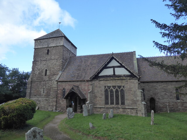
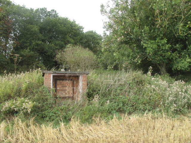
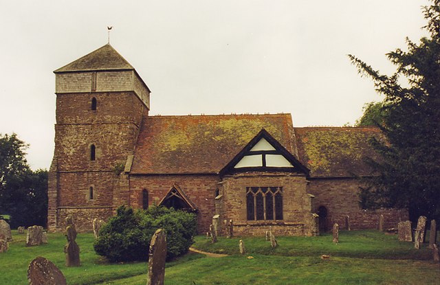
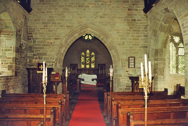
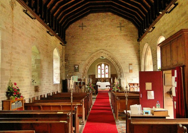
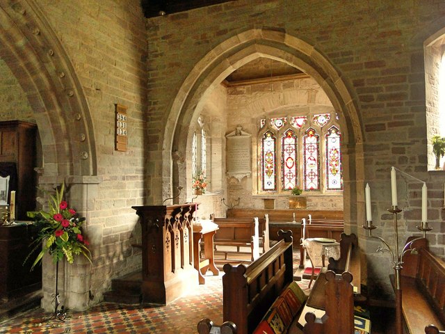
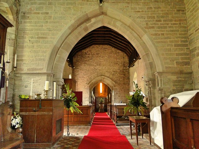
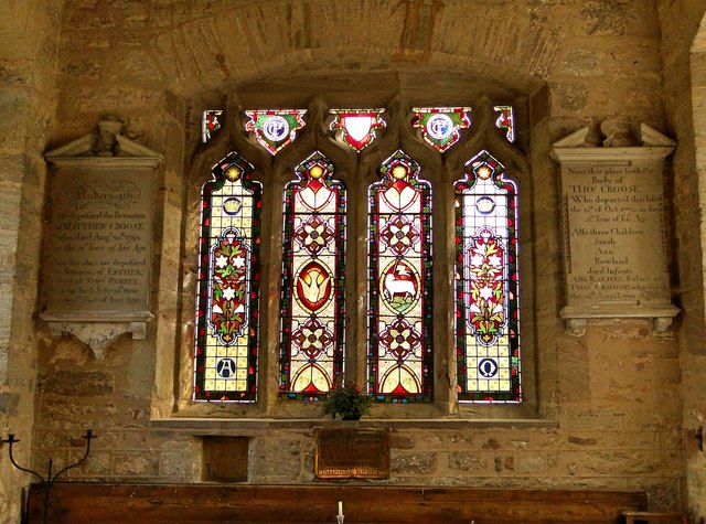
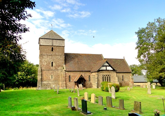
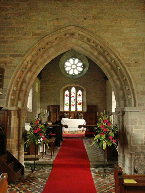
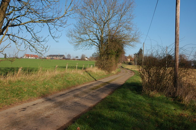
Birley Images

Images are sourced within 2km of 52.17679/-2.7996184 or Grid Reference SO4553. Thanks to Geograph Open Source API. All images are credited.

Birley, St Peter
Birley, St Peter
Aulden An isolated hamlet in West Herefordshire.
Aulden
An isolated hamlet in West Herefordshire.
Near Birley Hill Summit Friendly farmer at Bush Bank, big bale straw now lying in field after harvest. Trig can take some finding at this time of year.
Name: Birley Hill
Hill number: 5371
Height: 236m / 774ft
Area: 38B: West Gloucestershire, Hereford & Worcester
Class: Hu
Grid ref: SO 45791 52116
Summit feature: trig point: OS measurement
Drop: 127m
Col: 109m  SO446515
Near Birley Hill Summit
Friendly farmer at Bush Bank, big bale straw now lying in field after harvest. Trig can take some finding at this time of year. Name: Birley Hill Hill number: 5371 Height: 236m / 774ft Area: 38B: West Gloucestershire, Hereford & Worcester Class: Hu Grid ref: SO 45791 52116 Summit feature: trig point: OS measurement Drop: 127m Col: 109m SO446515
St Peter, Birley
St Peter, Birley
St Peter, Birley - East end
St Peter, Birley The nave, looking East. Clearly well cared for and open for the Festival of Churches.
St Peter, Birley
The nave, looking East. Clearly well cared for and open for the Festival of Churches.
St Peter, Birley The handsome 15th century south chapel.
St Peter, Birley
The handsome 15th century south chapel.
St Peter, Birley The interior, looking East.
St Peter, Birley
The interior, looking East.
St Peter, Birley Fine stained glass in the South transept by Heaton, Butler and Bayne of 1883.
St Peter, Birley
Fine stained glass in the South transept by Heaton, Butler and Bayne of 1883.
St Peter, Birley The East window, a fine job by Jones & Willis of 1887.
St Peter, Birley
The East window, a fine job by Jones & Willis of 1887.
St Peter, Birley
St Peter, Birley
St Peter, Birley The chancel.
St Peter, Birley
The chancel.
St Peter, Birley The pulpit of 1633. The lectern and the 'strident encaustic floor tiling' date from 1873-4.
St Peter, Birley
The pulpit of 1633. The lectern and the 'strident encaustic floor tiling' date from 1873-4.
Stretford to Ivington Road With a muddy field after prolonged heavy rain.
Stretford to Ivington Road
With a muddy field after prolonged heavy rain.
Farm and farm building offering MOTs A small workshop in one of the buildings is now a service station at Highway Farm
Farm and farm building offering MOTs
A small workshop in one of the buildings is now a service station at Highway Farm
Mistletoe growing in orchard at Knapton Green
Westhope Wood Birley Hill, part of one of Herefordshire's sandstone inselbergs. The road signs are at a junction outside the Bush Inn.
Westhope Wood
Birley Hill, part of one of Herefordshire's sandstone inselbergs. The road signs are at a junction outside the Bush Inn.
Barn construction, Knapton A new road and buildings under construction west of the A4110.
Barn construction, Knapton
A new road and buildings under construction west of the A4110.
Show me another place!

Birley is located at Grid Ref: SO4553 (Lat: 52.17679, Lng: -2.7996184)

Unitary Authority: County of Herefordshire

Police Authority: West Mercia

What 3 Words

///pranced.melt.zeal. Near Dinmore, Herefordshire

Nearby Locations

Birley Rocks Wood

Related Wikis

Aulden

Aulden is a small hamlet in Herefordshire, England, in Leominster civil parish about four miles southwest of Leominster, on the road towards Birley....

Birley with Upper Hill

Birley with Upper Hill is a civil parish in Herefordshire, England, consisting of the small villages of Birley and Upper Hill, and most of the hamlet of...

Bush Bank

Bush Bank is a hamlet partly in the civil parish of King's Pyon and partly in Birley with Upper Hill, in Herefordshire, England. It is on the A4110 road...

Stretford, Herefordshire

Stretford is a small village and former civil parish, now in the parish of Monkland and Stretford, in Herefordshire, England, about three miles (5 km)...

Nearby Amenities

Located within 500m of 52.17679,-2.7996184
Church
Naptan AtcoCode: 2090A18895
Naptan Bearing: SW
Naptan BusStopType: CUS
Naptan CommonName: Church
Naptan Indicator: opp
Naptan Landmark: Birley Church
Naptan NaptanCode: herajgpd
Naptan Street: N/K
Naptan Verified: no
Source: naptan_import
Lat/Long: 52.175731/-2.799872
Church
Naptan AtcoCode: 2090A210300
Naptan Bearing: NE
Naptan BusStopType: CUS
Naptan CommonName: Church
Naptan Indicator: adj
Naptan Landmark: Birley Church
Naptan NaptanCode: herapmwj
Naptan Street: N/K
Naptan Verified: no
Source: naptan_import
Lat/Long: 52.1757752/-2.7999898
Birley
Place: hamlet
Source: NLS - OS 1:25k 1st Series 1937-61
Lat/Long: 52.1751231/-2.8003152
The data included in this document is from www.openstreetmap.org. The data is made available under ODbL.

Have you been to Birley?

Leave your review of Birley below (or comments, questions and feedback).