Birley Carr
Settlement in Yorkshire
England
Birley Carr

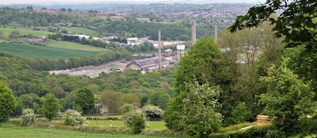
Birley Carr is a small village located in the county of Yorkshire, England. Situated approximately five miles northwest of the city of Sheffield, Birley Carr is part of the Sheffield City Council area. The village is nestled within the scenic landscape of the Peak District National Park, offering residents and visitors alike stunning views of the surrounding countryside.
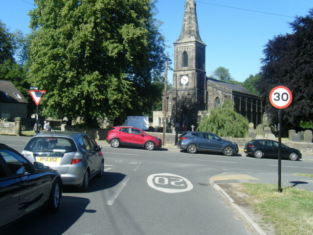
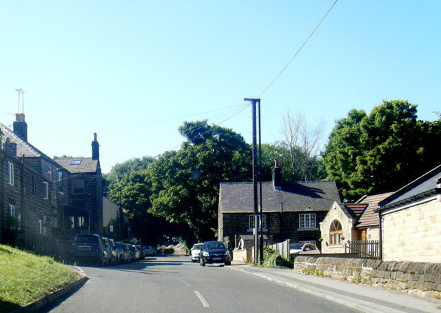
Birley Carr is a relatively quiet and peaceful village, known for its close-knit community and friendly atmosphere. The village is primarily residential, with a mix of traditional stone-built cottages and more modern housing developments. It is a popular location for families and individuals looking for a tranquil place to live, while still being in close proximity to the amenities and opportunities of a larger city.
Despite its small size, Birley Carr boasts a number of amenities and facilities for its residents. These include a primary school, a local pub, and a few small shops for basic necessities. The village is also well-connected to the rest of the region, with regular bus services running to nearby Sheffield and other surrounding towns.
For those who enjoy outdoor activities, Birley Carr offers access to a range of recreational opportunities. The surrounding countryside is perfect for hiking, cycling, and exploring nature, while the nearby Peak District National Park provides even more options for outdoor enthusiasts.
Overall, Birley Carr is a charming village that offers a peaceful and picturesque setting for its residents, with a strong sense of community and easy access to both rural and urban amenities.
If you have any feedback on the listing, please let us know in the comments section below.
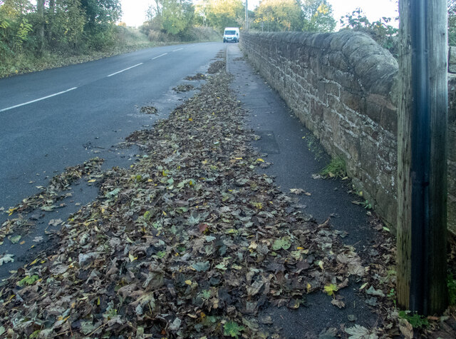
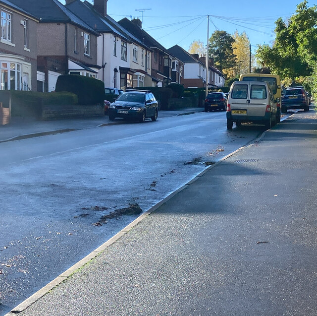
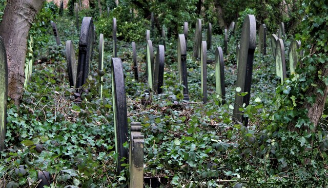
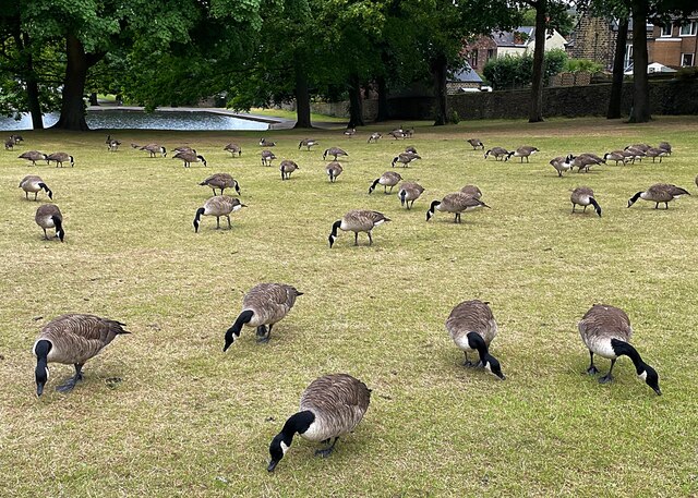
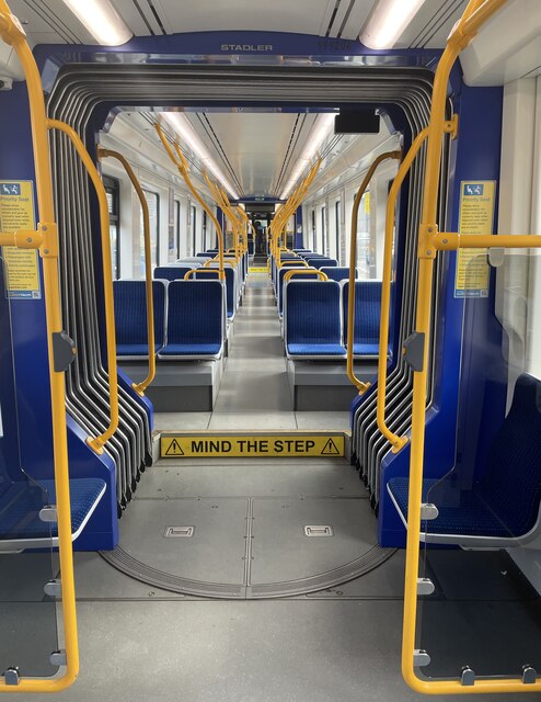
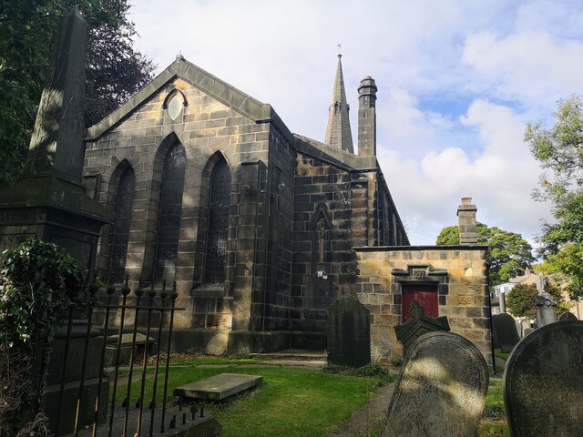
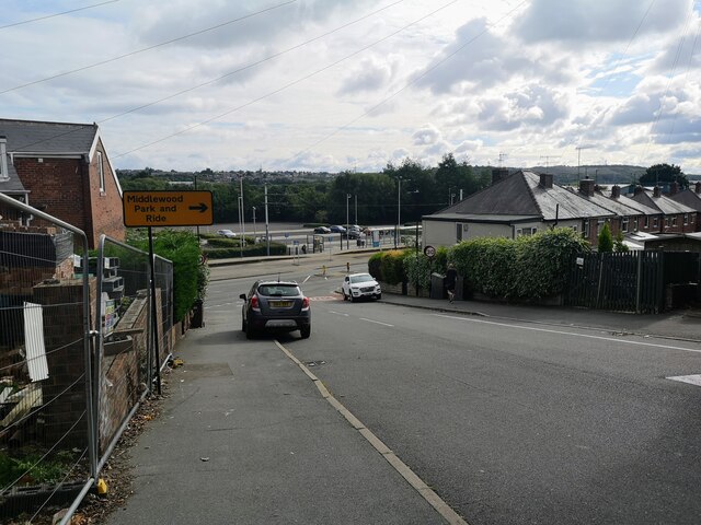
Birley Carr Images
Images are sourced within 2km of 53.424025/-1.504116 or Grid Reference SK3392. Thanks to Geograph Open Source API. All images are credited.


Birley Carr is located at Grid Ref: SK3392 (Lat: 53.424025, Lng: -1.504116)
Division: West Riding
Unitary Authority: Sheffield
Police Authority: South Yorkshire
What 3 Words
///panels.goad.digs. Near Oughtibridge, South Yorkshire
Nearby Locations
Related Wikis
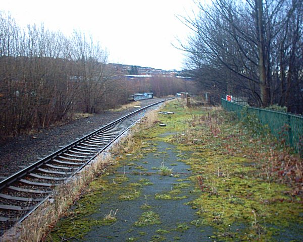
Wadsley Bridge railway station
Wadsley Bridge railway station was a station in Sheffield, South Yorkshire, England on the Great Central Railway's core route between Manchester and Sheffield...

Wadsley Bridge
Wadsley Bridge is a suburb of Sheffield, South Yorkshire, England, 3 miles (4.8 km) northwest of the city centre. The area is a mixture of residential...
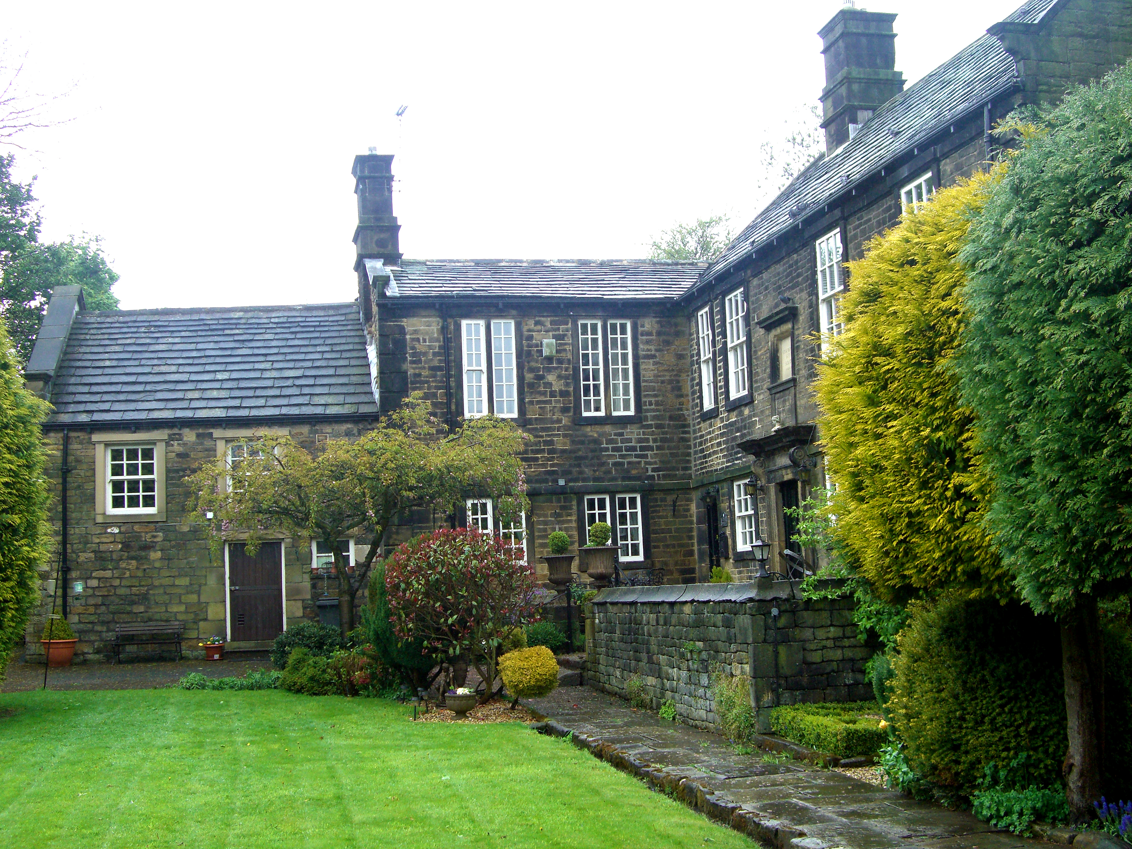
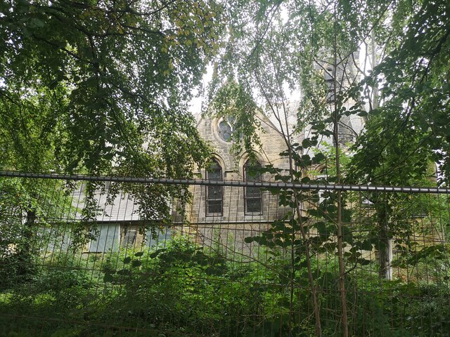
Birley Old Hall
Birley Old Hall is a small English country house situated in the Birley Edge area of the City of Sheffield, England. The hall stands in an exposed situation...
Sheffield Wednesday F.C. Academy
The Sheffield Wednesday Academy is the youth system of Sheffield Wednesday Football Club. The academy runs two sides; the U23 Development squad, and the...
Nearby Amenities
Located within 500m of 53.424025,-1.504116Have you been to Birley Carr?
Leave your review of Birley Carr below (or comments, questions and feedback).