Birdlip

Settlement in Gloucestershire Cotswold

England

Birdlip

Crickley Hill Car Park
Crickley Hill Car Park Credit: Matthew Chadwick

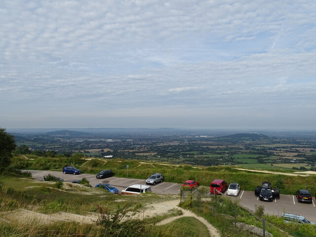
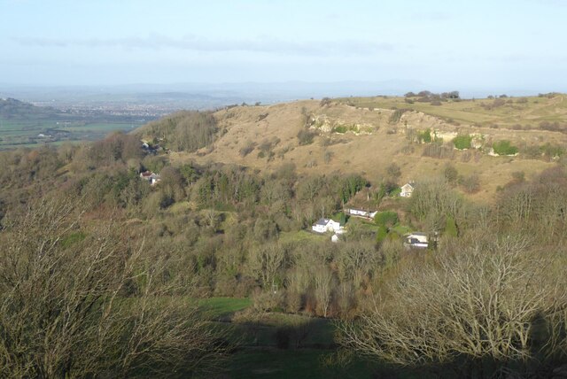
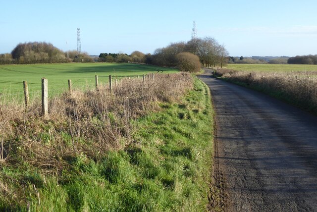
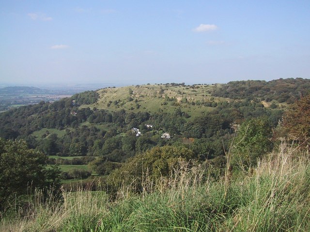
Birdlip is a small village located in the county of Gloucestershire, England. Situated on the edge of the Cotswolds, it is nestled on a hilltop, offering stunning panoramic views of the surrounding countryside. The village is approximately 4 miles southwest of Gloucester and 7 miles north of Stroud.

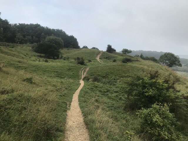
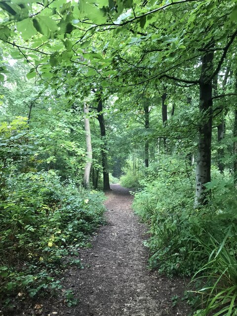
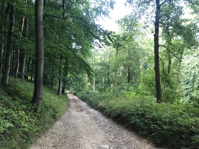
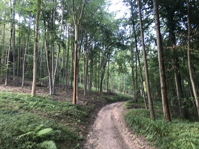
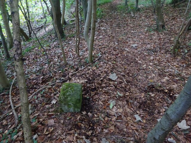
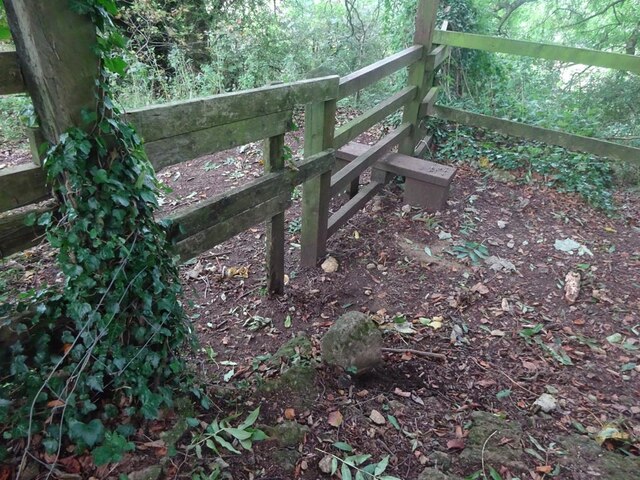
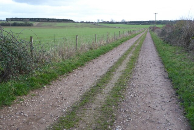
Birdlip is known for its picturesque setting and tranquil atmosphere, making it a popular destination for nature lovers and hikers. The village is surrounded by rolling hills, wooded areas, and open fields, providing ample opportunities for outdoor activities such as walking, cycling, and birdwatching. The nearby Cotswold Way, a long-distance footpath, passes through Birdlip, attracting many visitors who enjoy exploring the scenic landscapes.

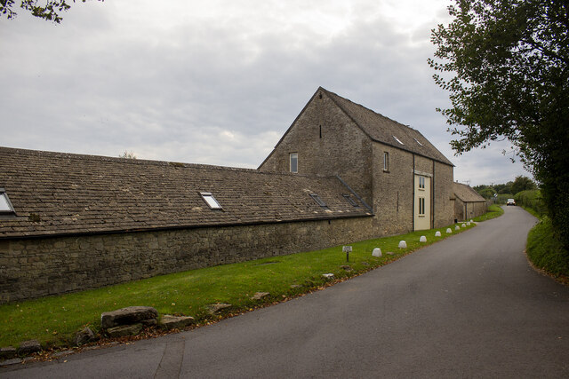
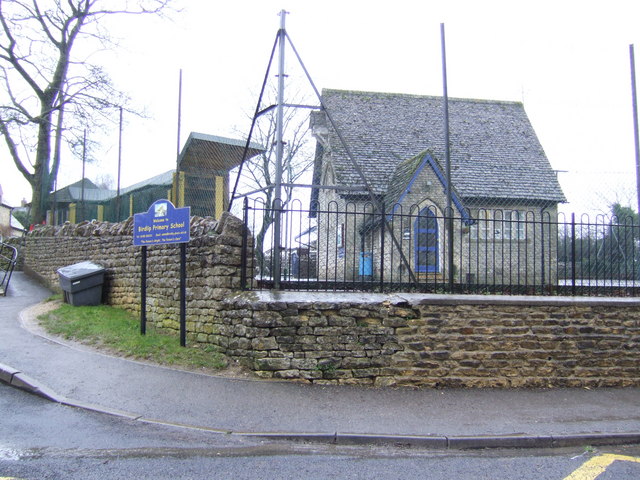
Despite its small size, Birdlip has a close-knit community and a handful of amenities. The village is home to a charming 17th-century pub and a well-regarded restaurant, both of which are frequented by locals and tourists alike. Additionally, there is a small primary school, serving the educational needs of the village and the surrounding area.

Birdlip's location also offers convenient access to major transportation routes. The M5 motorway runs nearby, providing easy connections to Bristol, Birmingham, and the south-west of England. The village is also served by regular bus services, connecting it to nearby towns and cities.

Overall, Birdlip is a quaint and idyllic village, offering a peaceful retreat in the heart of the Gloucestershire countryside. Its natural beauty, community spirit, and convenient location make it an appealing place to live or visit.

If you have any feedback on the listing, please let us know in the comments section below.
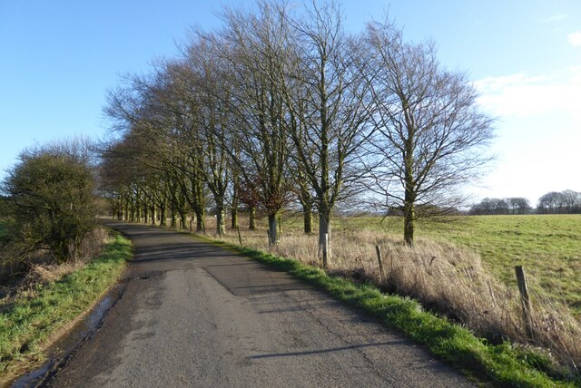
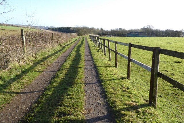
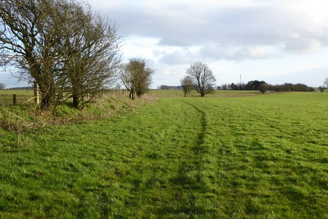
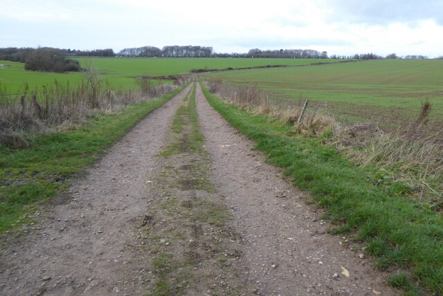
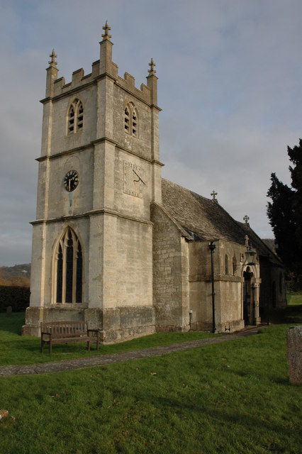
Birdlip Images

Images are sourced within 2km of 51.828576/-2.105609 or Grid Reference SO9214. Thanks to Geograph Open Source API. All images are credited.

Crickley Hill Car Park
Converted vernacular farm buildings
Rough land by the Cotswold Way
Deciduous woodland by the Cotswold Way
The Cotswold Way track
Track bend
Track bend
Crickley Hill
Crickley Hill
Boundary Stone, Barrow Wake, Birdlip The boundary between Cowley Parish to the SE (including Birdlip) and Badgeworth (NE) runs along the lip of a very steep escarpment. The inscription would have been C M 1857 like others along the same ridge. See <a title="https://www.geograph.org.uk/discuss/index.php?&action=vthread&forum=11&topic=32582" href="https://www.geograph.org.uk/discuss/index.php?&action=vthread&forum=11&topic=32582">Link</a>

Inscription: ?85?

Milestone Society National ID: GL_BADCOW03pb
Boundary Stone, Barrow Wake, Birdlip
The boundary between Cowley Parish to the SE (including Birdlip) and Badgeworth (NE) runs along the lip of a very steep escarpment. The inscription would have been C M 1857 like others along the same ridge. See Link Inscription: ?85? Milestone Society National ID: GL_BADCOW03pb
Boundary Stone, Peak Plantation, Birdlip At the top of the escarpment that delineates the boundary between Badgeworth (West) and Cowley (inc Birdlip) to the East. See other stones along the ridge <a title="https://www.geograph.org.uk/discuss/index.php?&action=vthread&forum=11&topic=32582" href="https://www.geograph.org.uk/discuss/index.php?&action=vthread&forum=11&topic=32582">Link</a>

Inscription: C M / 1857

Milestone Society National ID: GL_BADCOW04pb
Boundary Stone, Peak Plantation, Birdlip
At the top of the escarpment that delineates the boundary between Badgeworth (West) and Cowley (inc Birdlip) to the East. See other stones along the ridge Link Inscription: C M / 1857 Milestone Society National ID: GL_BADCOW04pb
Boundary Stone, Peak Plantation, Birdlip At the stile and apex of the boundary. Cowley (inc Birdlip) is to the SE, Badgeworth is N, S & W. There is no visible inscription but other Boundary Stones along the ridge bear the letters C M & 1857. See other stones along the ridge <a title="https://www.geograph.org.uk/discuss/index.php?&action=vthread&forum=11&topic=32582" href="https://www.geograph.org.uk/discuss/index.php?&action=vthread&forum=11&topic=32582">Link</a>

Milestone Society National ID: GL_BADCOW05pb
Boundary Stone, Peak Plantation, Birdlip
At the stile and apex of the boundary. Cowley (inc Birdlip) is to the SE, Badgeworth is N, S & W. There is no visible inscription but other Boundary Stones along the ridge bear the letters C M & 1857. See other stones along the ridge Link Milestone Society National ID: GL_BADCOW05pb
Crickley Hill Crickley Hill viewed from the Wake Barrow viewpoint. The Malvern Hills are on the distant horizon.
Crickley Hill
Crickley Hill viewed from the Wake Barrow viewpoint. The Malvern Hills are on the distant horizon.
Minor country road No through road to Birdlip Radio Station.
Minor country road
No through road to Birdlip Radio Station.
Beech trees Beech trees near Birdlip Radio Station.
Beech trees
Beech trees near Birdlip Radio Station.
The Gloucestershire Way The Gloucestershire Way from a track approaching Rushwood Kennels.
The Gloucestershire Way
The Gloucestershire Way from a track approaching Rushwood Kennels.
Farmland near Stockwell A public right of way follows the field boundary on the left.
Farmland near Stockwell
A public right of way follows the field boundary on the left.
Track and footpath Track and footpath to Barrow Wake.
Track and footpath
Track and footpath to Barrow Wake.
Track and footpath Track and footpath on Shab Hill.
Track and footpath
Track and footpath on Shab Hill.
Old Boundary Marker in Peak Plantation Parish Boundary Marker on the cliff edge in Peak Plantation. On the boundary of Badgeworth and Cowley parishes. Inscribed C M / 1857.

Milestone Society National ID: GL_BADCOW06pb
Old Boundary Marker in Peak Plantation
Parish Boundary Marker on the cliff edge in Peak Plantation. On the boundary of Badgeworth and Cowley parishes. Inscribed C M / 1857. Milestone Society National ID: GL_BADCOW06pb
Show me another place!

Birdlip is located at Grid Ref: SO9214 (Lat: 51.828576, Lng: -2.105609)

Administrative County: Gloucestershire

District: Cotswold

Police Authority: Gloucestershire

What 3 Words

///record.violinist.demoted. Near Shurdington, Gloucestershire

Related Wikis

Birdlip

Birdlip is a village and civil parish, in the Cotswold district, in the county of Gloucestershire, England. It is in the Cotswolds Area of Outstanding...
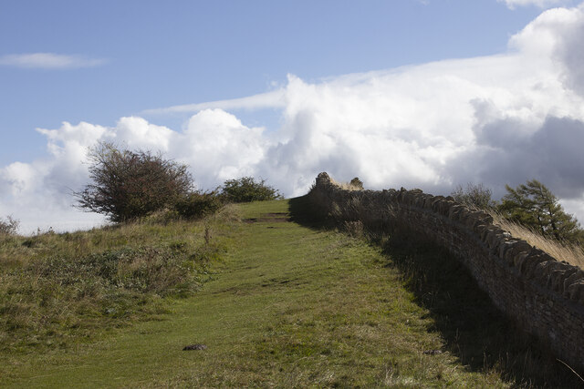
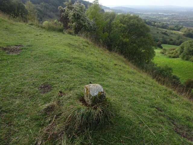
Barrow Wake

Barrow Wake is a scenic view in Gloucestershire, near Birdlip, England. Barrow Wake was used as the location for the music video "Wytches" by Pagan Rock...

Knap House Quarry, Birdlip

Knap House Quarry, Birdlip (grid reference SO925147) is a 1.80-hectare (4.4-acre) geological Site of Special Scientific Interest in Gloucestershire, notified...

Crickley Hill and Barrow Wake

Crickley Hill and Barrow Wake (grid reference SO929161 & grid reference SO931154) is a 56.8-hectare (140-acre) biological and geological Site of Special...

The Air Balloon, Birdlip

The Air Balloon is a road junction and former pub Birdlip, Gloucestershire, England. The junction is on the A417 at a significant congestion point. The...

Great Witcombe

Great Witcombe is a village and civil parish 5 miles (8 km) south east of Gloucester, in the Tewkesbury district, in the county of Gloucestershire, England...

Bushley Muzzard, Brimpsfield

Bushley Muzzard, Brimpsfield (grid reference SO944133) is a 1.13-hectare (2.8-acre) biological Site of Special Scientific Interest in Gloucestershire,...

Brimpsfield Priory

Brimpsfield Priory was a Benedictine monastic foundation in Brimpsfield, Gloucestershire, England, a cell or grange of the Abbey of Saint-Wandrille in...

Related Videos

Soak up the Serene Atmosphere of Rural ENGLAND on a Misty Morning

So, today we are out and about walking for a revisit in the Cotswold hamlet of Caudle Green in Gloucestershire, England. Caudle ...

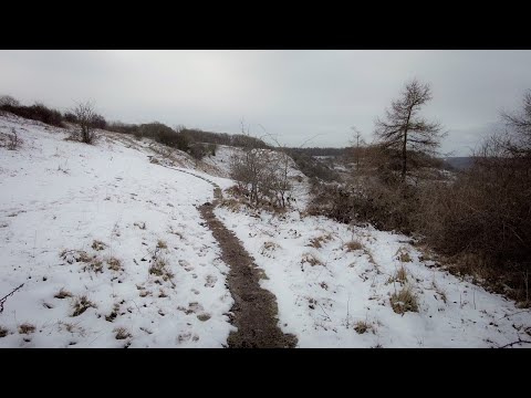
Walking in the English Countryside on the Last of the Winter Snow

So, today we are out and about walking (and a bit of running - not through choice!) in the countryside within the location of Birdlip ...

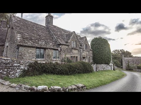
Could this Really be the Perfect Cotswold Village | English Countryside

So, today we are out and about walking in the Cotswold hamlet of Caudle Green in Gloucestershire, England. Caudle Green is ...

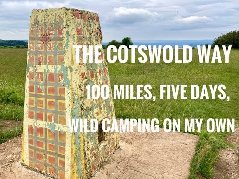
Cotswold Way - five days, on my own and wild camping.

This is a video following my walk on the Cotswold Way In late June 2021. I took five days and wild camped three out of the four ...

Nearby Amenities

Located within 500m of 51.828576,-2.105609
Bus Stop
Village Stores
Naptan AtcoCode: 1600GL411
Naptan Bearing: SE
Naptan CommonName: Village Stores
Naptan Indicator: Opp
Naptan NaptanCode: glodpjag
Naptan Street: Ermin Way
Naptan Verified: no
Source: naptan_import
Lat/Long: 51.8275574/-2.1078009
Give Way
Direction: forward
Lat/Long: 51.8283611/-2.1084827
Leisure: playground
Lat/Long: 51.8278639/-2.1048363
Location Transition: yes
Power: pole
Lat/Long: 51.827128/-2.1045618
Power: pole
Lat/Long: 51.8272366/-2.1045014
Birdlip Village
Power: pole
Transformer: distribution
Voltage Primary: 11000
Lat/Long: 51.8273713/-2.1044263
Power: pole
Lat/Long: 51.828322/-2.1039784
Power: pole
Lat/Long: 51.829082/-2.1033186
The data included in this document is from www.openstreetmap.org. The data is made available under ODbL.

Have you been to Birdlip?

Leave your review of Birdlip below (or comments, questions and feedback).