Birdlip Hill
Hill, Mountain in Gloucestershire Cotswold
England
Birdlip Hill
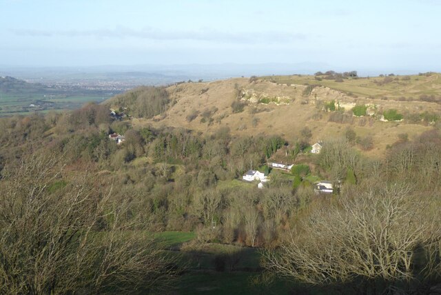
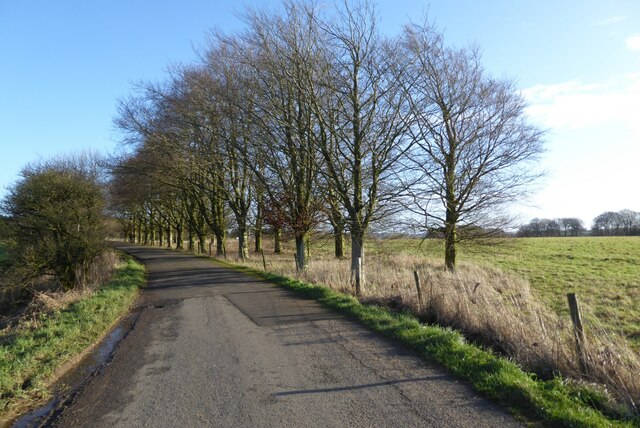
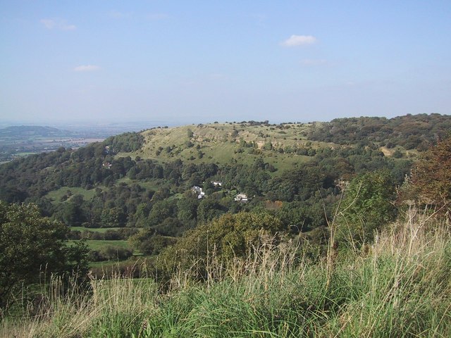
Birdlip Hill is a prominent geographical feature located in the county of Gloucestershire, England. Situated in the Cotswold Hills, it is a limestone escarpment that forms part of the Cotswold Edge. With an elevation of approximately 225 meters (738 feet), it provides breathtaking views of the surrounding countryside.
Birdlip Hill is renowned for its steep gradient, making it a challenging climb for cyclists and a popular spot for road racing events. It is often referred to as a hill rather than a mountain due to its relatively modest height. The top of the hill is marked by an iconic landmark known as the Air Balloon Roundabout, named after a nearby pub, which serves as a major junction connecting several roads.
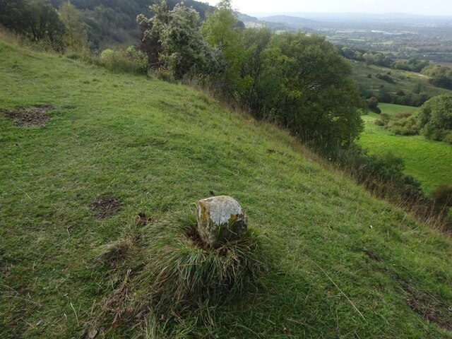
The hill offers panoramic views of the Severn Vale, the Forest of Dean, and the Malvern Hills in the distance. On clear days, it is possible to spot notable landmarks such as the Gloucester Cathedral and the Severn Bridge. The area surrounding Birdlip Hill is rich in natural beauty, featuring rolling hills, charming villages, and picturesque landscapes.
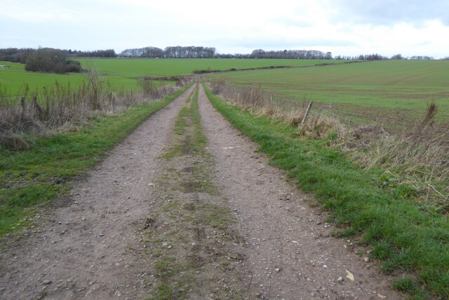
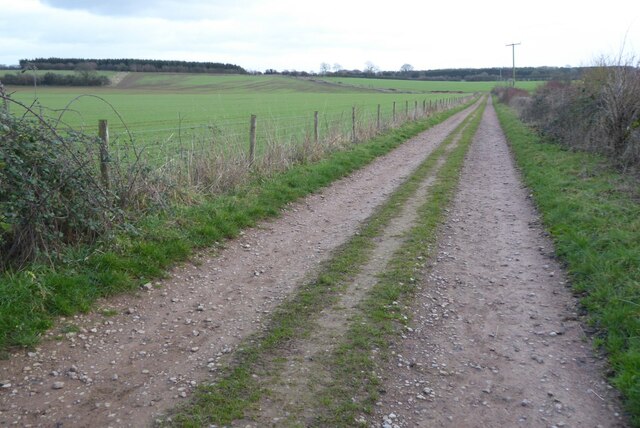
Birdlip Hill has historical significance as well. It was once part of the main road between London and Wales, and remnants of Roman settlements have been discovered in the vicinity. Today, the hill attracts tourists, hikers, and nature enthusiasts who come to enjoy the stunning vistas and explore the nearby trails.
In conclusion, Birdlip Hill is a captivating limestone escarpment in Gloucestershire, offering stunning views and a challenging terrain for outdoor enthusiasts. Its historical significance and natural beauty make it a must-visit destination in the Cotswold Hills.
If you have any feedback on the listing, please let us know in the comments section below.
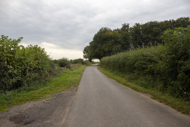
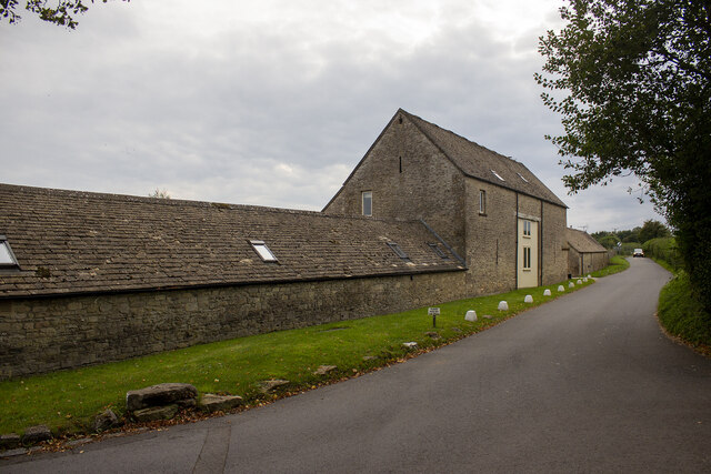
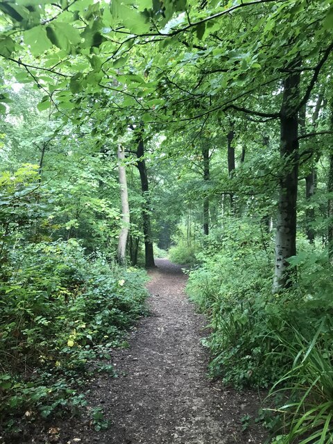
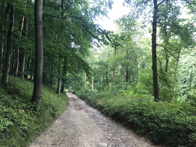
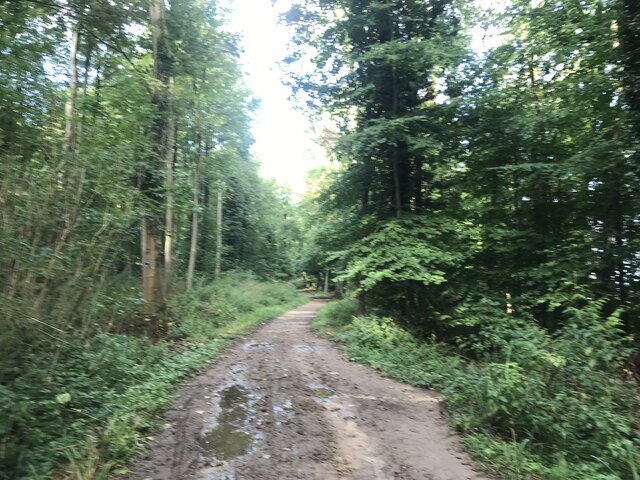
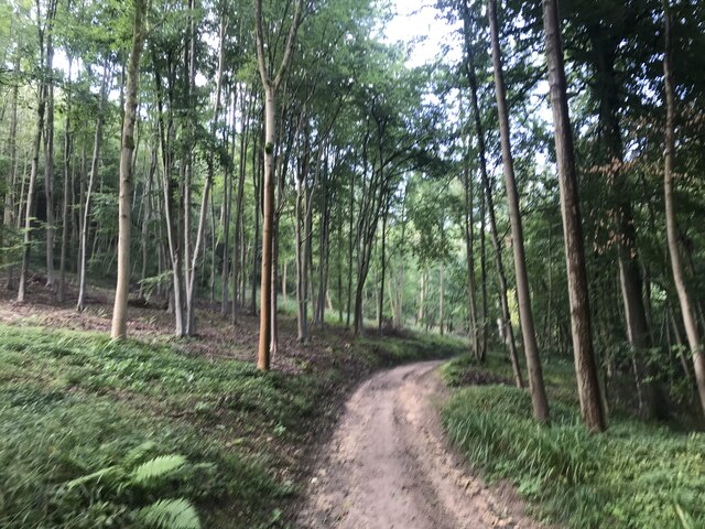
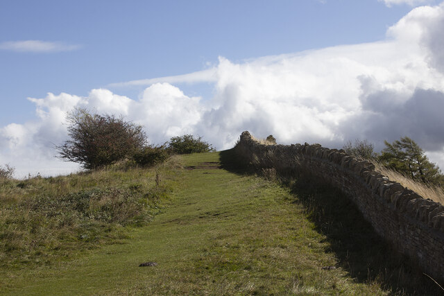
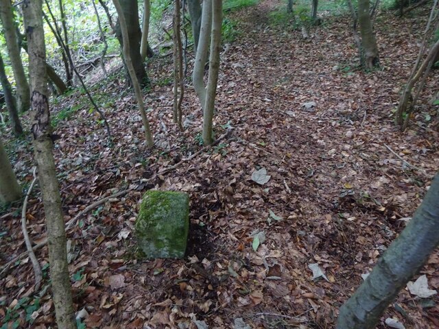
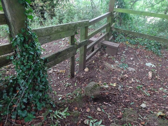
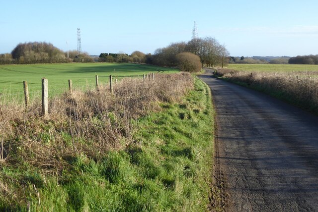
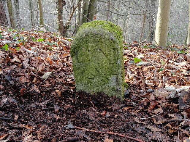
Birdlip Hill Images
Images are sourced within 2km of 51.825549/-2.1099225 or Grid Reference SO9214. Thanks to Geograph Open Source API. All images are credited.
Birdlip Hill is located at Grid Ref: SO9214 (Lat: 51.825549, Lng: -2.1099225)
Administrative County: Gloucestershire
District: Cotswold
Police Authority: Gloucestershire
What 3 Words
///converged.muted.employ. Near Shurdington, Gloucestershire
Nearby Locations
Related Wikis
Birdlip
Birdlip is a village and civil parish, in the Cotswold district, in the county of Gloucestershire, England. It is in the Cotswolds Area of Outstanding...

Barrow Wake
Barrow Wake is a scenic view in Gloucestershire, near Birdlip, England. Barrow Wake was used as the location for the music video "Wytches" by Pagan Rock...
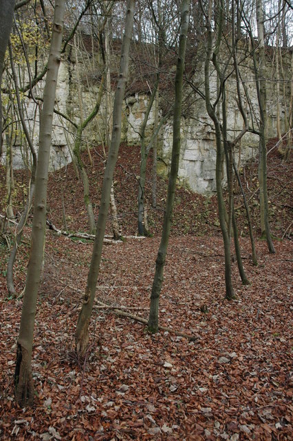
Knap House Quarry, Birdlip
Knap House Quarry, Birdlip (grid reference SO925147) is a 1.80-hectare (4.4-acre) geological Site of Special Scientific Interest in Gloucestershire, notified...
Great Witcombe
Great Witcombe is a village and civil parish 5 miles (8 km) south east of Gloucester, in the Tewkesbury district, in the county of Gloucestershire, England...

Brimpsfield Priory
Brimpsfield Priory was a Benedictine monastic foundation in Brimpsfield, Gloucestershire, England, a cell or grange of the Abbey of Saint-Wandrille in...

Bushley Muzzard, Brimpsfield
Bushley Muzzard, Brimpsfield (grid reference SO944133) is a 1.13-hectare (2.8-acre) biological Site of Special Scientific Interest in Gloucestershire,...
Crickley Hill and Barrow Wake
Crickley Hill and Barrow Wake (grid reference SO929161 & grid reference SO931154) is a 56.8-hectare (140-acre) biological and geological Site of Special...

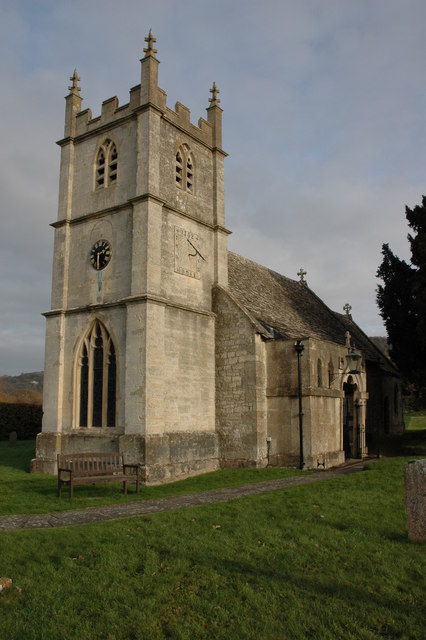
Church of St Michael, Brimpsfield
The Anglican Church of St Michael at Brimpsfield in the Cotswold District of Gloucestershire, England was built in 12th century. It is a grade I listed...
Nearby Amenities
Located within 500m of 51.825549,-2.1099225Have you been to Birdlip Hill?
Leave your review of Birdlip Hill below (or comments, questions and feedback).