Birds Edge

Settlement in Yorkshire

England

Birds Edge

Footpath crossing a stream, Shepley - Cumberworth This stream is here the boundary between Shepley and Cumberworth. It is not named on maps, but is the source tributary of Fenay Beck. The source is a spring below the A635. A bath has been sunk into the bed of the stream to provide a drinking trough for cattle.
Footpath crossing a stream, Shepley - Cumberworth Credit: Humphrey Bolton

Birds Edge is a small village located in the county of West Yorkshire, England. Situated approximately 7 miles south of Huddersfield and 8 miles north of Barnsley, it forms part of the picturesque Pennine countryside. With a population of around 500 residents, Birds Edge offers a peaceful and tranquil setting for those seeking an escape from the hustle and bustle of city life.

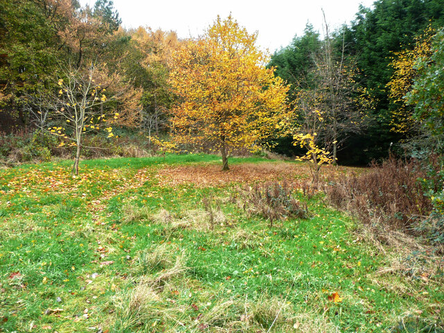
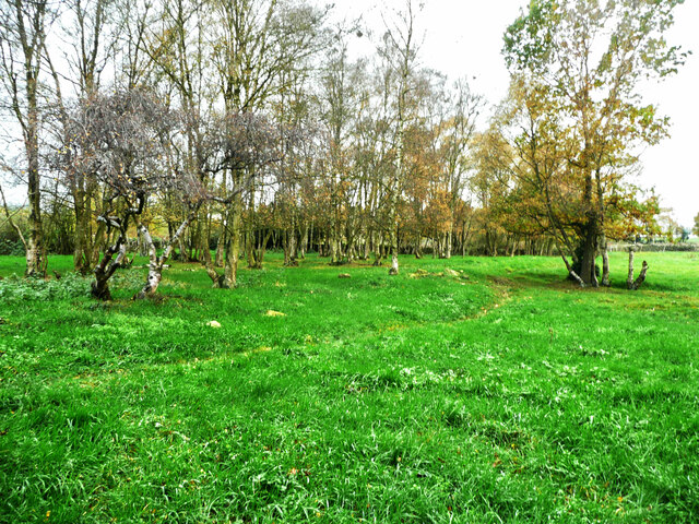
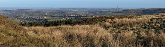
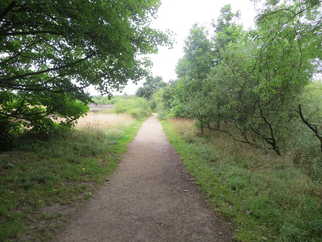
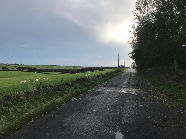
The village is known for its stunning views, as it is situated on the edge of the Pennines, a range of hills and mountains that provide breathtaking landscapes. The surrounding countryside offers ample opportunities for outdoor activities such as hiking, cycling, and birdwatching. The area is also dotted with numerous footpaths and bridleways, making it a popular destination for nature lovers and outdoor enthusiasts.

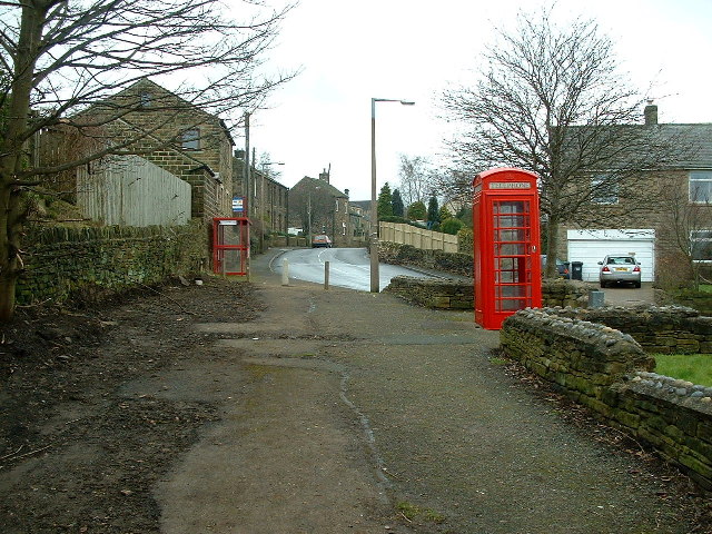
Birds Edge is home to a few local amenities, including a primary school, a village hall, and a traditional pub. The village hall serves as a hub for various community events and activities, providing a space for residents to come together and socialize. The pub, with its cozy atmosphere and friendly locals, offers a place to unwind and enjoy a pint after a long day of exploring the countryside.

While Birds Edge may be small in size, it boasts a strong sense of community and a close-knit population. Its idyllic location, coupled with its friendly atmosphere, makes it an ideal place for those seeking a peaceful retreat in the heart of Yorkshire.

If you have any feedback on the listing, please let us know in the comments section below.
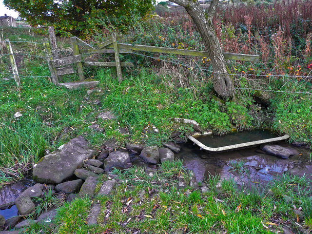
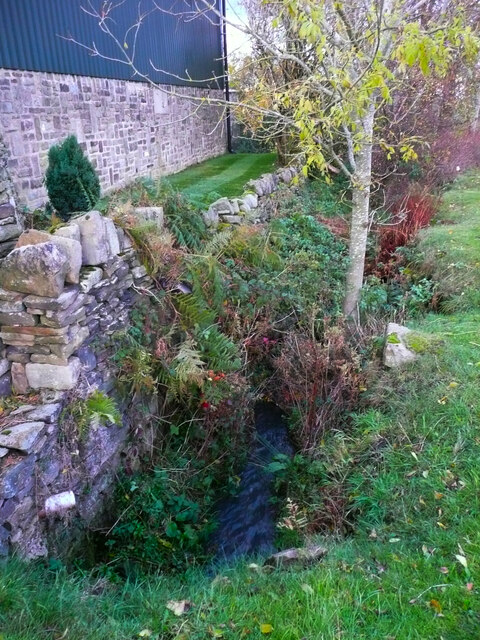
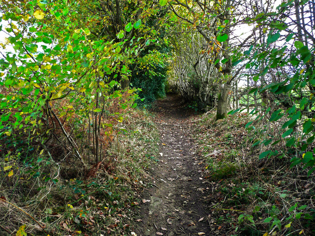
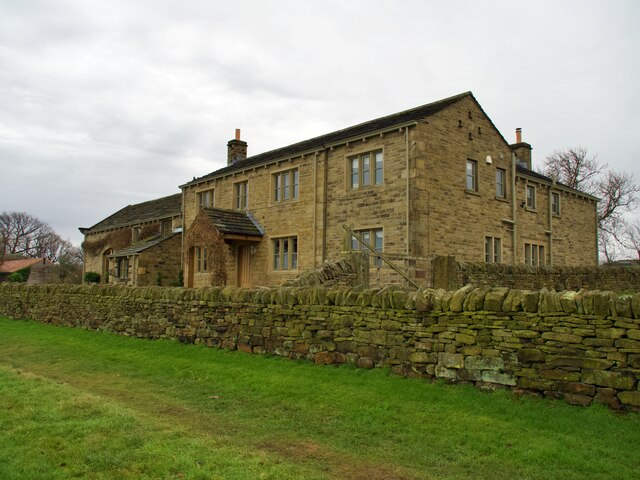
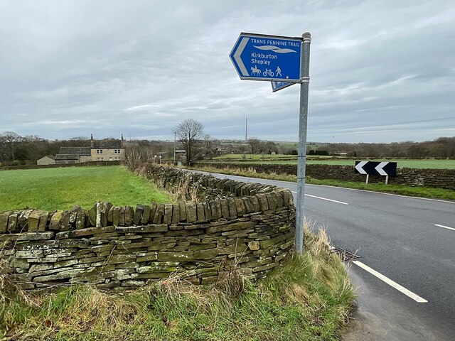
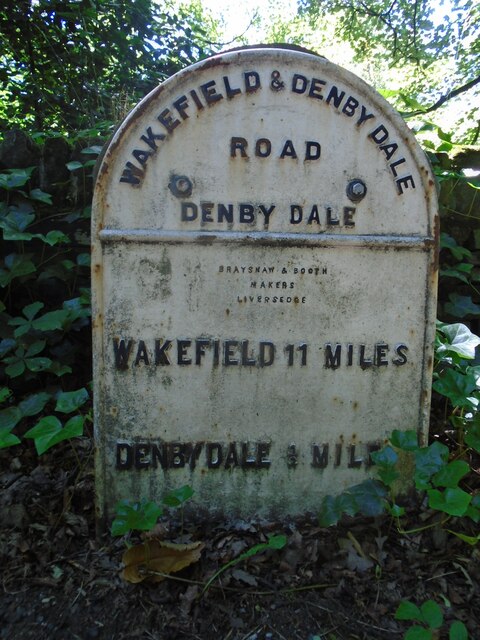
Birds Edge Images

Images are sourced within 2km of 53.567312/-1.694204 or Grid Reference SE2007. Thanks to Geograph Open Source API. All images are credited.
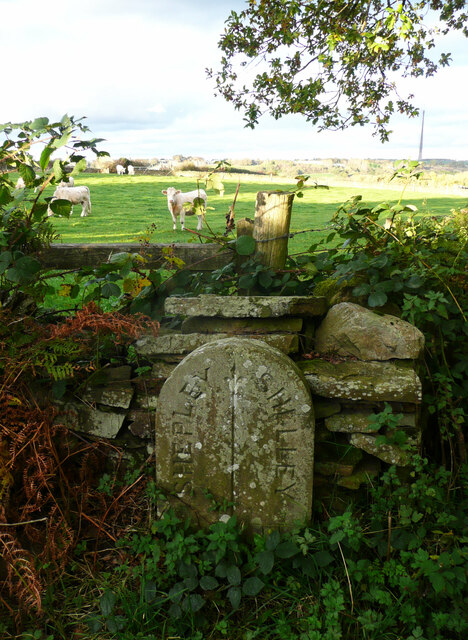
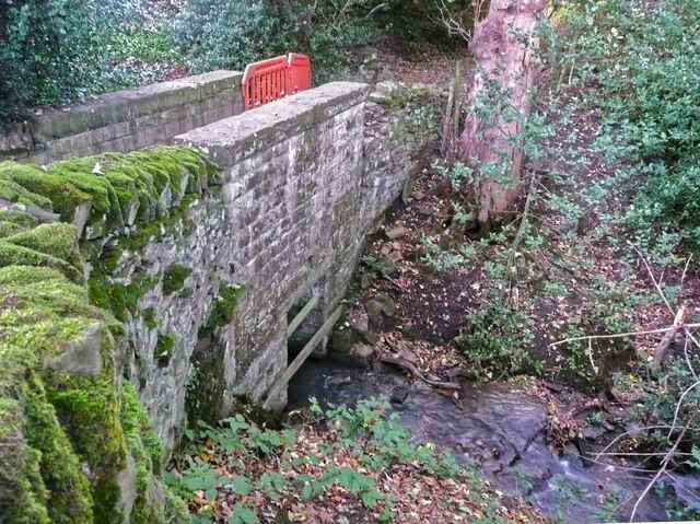
Footpath crossing a stream, Shepley - Cumberworth This stream is here the boundary between Shepley and Cumberworth. It is not named on maps, but is the source tributary of Fenay Beck. The source is a spring below the A635. A bath has been sunk into the bed of the stream to provide a drinking trough for cattle.
Footpath crossing a stream, Shepley - Cumberworth
This stream is here the boundary between Shepley and Cumberworth. It is not named on maps, but is the source tributary of Fenay Beck. The source is a spring below the A635. A bath has been sunk into the bed of the stream to provide a drinking trough for cattle.
Stream emerging from a culvert under Carr Lane, Cumberworth This is a boundary stream, with Shepley on the left and Cumberworth on the right.
Stream emerging from a culvert under Carr Lane, Cumberworth
This is a boundary stream, with Shepley on the left and Cumberworth on the right.
High Moor Lane, Shepley
Boundary stone, High Moor Lane, Shepley / Shelley This stone is not shown on old 1:2500 maps, although others are shown on the boundary. The boundary is along the centre of the lane between two watercourse crossings. Shelley and Shepley Local Boards made an agreement for the joint repair of High Moor Lane in August 1891 (Huddersfield Chronicle via Huddersfield Exposed). As this stone is approximately half-way along the lane between the watercourses perhaps the two local boards decided share the responsibility by dividing the length of lane into two.
Boundary stone, High Moor Lane, Shepley / Shelley
This stone is not shown on old 1:2500 maps, although others are shown on the boundary. The boundary is along the centre of the lane between two watercourse crossings. Shelley and Shepley Local Boards made an agreement for the joint repair of High Moor Lane in August 1891 (Huddersfield Chronicle via Huddersfield Exposed). As this stone is approximately half-way along the lane between the watercourses perhaps the two local boards decided share the responsibility by dividing the length of lane into two.
Footbridge on High Moor Lane, Shelley This is a substantial stone structure, one quarter of which is in Shepley and three quarters in Shelley. The boundary comes down the centre of the stream and then turns left along the centre of the lane.
Footbridge on High Moor Lane, Shelley
This is a substantial stone structure, one quarter of which is in Shepley and three quarters in Shelley. The boundary comes down the centre of the stream and then turns left along the centre of the lane.
Temporary fence on footbridge on High Moor Lane, Shepley In 2015 the wall had lost some capstones but was otherwise sound, see <a href="https://www.geograph.org.uk/photo/7011863">SE2009 : Footbridge on High Moor Lane, Shelley</a>], so I suspect vandalism.
Temporary fence on footbridge on High Moor Lane, Shepley
In 2015 the wall had lost some capstones but was otherwise sound, see SE2009 : Footbridge on High Moor Lane, Shelley], so I suspect vandalism.
Autumn colour, Upper Cumberworth Whilst exploring a footpath I found that it crosses a field apparently left to nature, with young trees and patches of brambles.  There is a seat behind the tree in the centre of the image, and I thought that this might be a Millennium green, but the nearest ones are at Emley and Clayton West; Upper Cumberworth has a small village garden.
Autumn colour, Upper Cumberworth
Whilst exploring a footpath I found that it crosses a field apparently left to nature, with young trees and patches of brambles. There is a seat behind the tree in the centre of the image, and I thought that this might be a Millennium green, but the nearest ones are at Emley and Clayton West; Upper Cumberworth has a small village garden.
Area of springs, Upper Cumberworth There is water amongst the grass in this area, especially in hollows amongst the birch trees on the other side of the footpath.
Area of springs, Upper Cumberworth
There is water amongst the grass in this area, especially in hollows amongst the birch trees on the other side of the footpath.
View from Snailsden Moor View from Snailsden Moor towards Emley Moor TV mast.
View from Snailsden Moor
View from Snailsden Moor towards Emley Moor TV mast.
Long Royd Farm
Long Royd Farm
Trans Pennine Trail direction signage At the junction of a minor road and bridleway.
Trans Pennine Trail direction signage
At the junction of a minor road and bridleway.
Long Royd
Long Royd
Copley Lane
Copley Lane
Old milestone This West Riding CC milestone is seen when leaving Denby Dale just beyond the railway viaduct and before the junction with the A635 from Barnsley.   Only a few of these flat castings were made, usually where there was no space for the protruding style.  However this one is unique.   It is the only one of the surviving flat castings which is not divided by a central raised line.   This is because Denby Dale and Wakefield are in the same direction.  Another difference is that the foundry name is at the centre top instead of on the left side.   It is Grade II listed 1135309.
Old milestone
This West Riding CC milestone is seen when leaving Denby Dale just beyond the railway viaduct and before the junction with the A635 from Barnsley. Only a few of these flat castings were made, usually where there was no space for the protruding style. However this one is unique. It is the only one of the surviving flat castings which is not divided by a central raised line. This is because Denby Dale and Wakefield are in the same direction. Another difference is that the foundry name is at the centre top instead of on the left side. It is Grade II listed 1135309.
Old milestone This milestone is set into the garden wall of Salt Pie Cottage on the A629 between High Flatts and Birds Edge.  The owners rebuilt the wall to show more of the milestone and on a very sunny day it is surrounded by flowers, possibly of the mallow family.   It is 9 miles to Huddersfield and 3¼ to Penistone on the old tollroad.  Grade II listed 1135304.
Old milestone
This milestone is set into the garden wall of Salt Pie Cottage on the A629 between High Flatts and Birds Edge. The owners rebuilt the wall to show more of the milestone and on a very sunny day it is surrounded by flowers, possibly of the mallow family. It is 9 miles to Huddersfield and 3¼ to Penistone on the old tollroad. Grade II listed 1135304.
Permissive footpath at Ingbirchworth Reservoir Looking north-westward.
Permissive footpath at Ingbirchworth Reservoir
Looking north-westward.
Ordnance Survey Cut Mark This mark can be found on a gatepost at the footpath entrance to Ingbirchworth Reservoir.
The recorded details give a height of 255.8613 metres above sea level.
For more detail see : <span class="nowrap"><a title="https://www.bench-marks.org.uk/bm52601" rel="nofollow ugc noopener" href="https://www.bench-marks.org.uk/bm52601">Link</a><img style="margin-left:2px;" alt="External link" title="External link - shift click to open in new window" src="https://s1.geograph.org.uk/img/external.png" width="10" height="10"/></span>
Ordnance Survey Cut Mark
This mark can be found on a gatepost at the footpath entrance to Ingbirchworth Reservoir. The recorded details give a height of 255.8613 metres above sea level. For more detail see : LinkExternal link
Horn Lane On the left miles and miles of sheep-grazed grass fields.
Horn Lane
On the left miles and miles of sheep-grazed grass fields.
Show me another place!

Birds Edge is located at Grid Ref: SE2007 (Lat: 53.567312, Lng: -1.694204)

Division: West Riding

Unitary Authority: Kirklees

Police Authority: West Yorkshire

What 3 Words

///avocado.qualifier.pulses. Near Denby Dale, West Yorkshire

Related Wikis

Birdsedge

Birdsedge (or Birds Edge) is a small village in the borough of Kirklees in West Yorkshire, England, on the edge of Yorkshire's Pennine Hills, standing...

Upper Cumberworth

Upper Cumberworth is a small village in West Yorkshire, England, within the civil parish of Denby Dale and the Diocese of Wakefield. It is between the...

Lower Cumberworth

Lower Cumberworth is a village in the borough of Kirklees, West Yorkshire, England. The village is situated 8 miles (13 km) to the south-east of Huddersfield...

Shepley

Shepley is a village in the civil parish of Kirkburton, in Kirklees, West Yorkshire, England. It lies 8 miles (13 km) south south east of Huddersfield...

Denby Dale railway station

Denby Dale railway station serves the village of Denby Dale, in West Yorkshire, England and the surrounding area. It lies on the Penistone Line 9.5 miles...

Denby Dale Viaduct

Denby Dale Viaduct is a grade II listed railway viaduct in Denby Dale, West Yorkshire, England. The curving viaduct carries the Penistone line over the...

Shelley railway station

Shelley railway station forms the western terminus of the Whistlestop Valley and serves the village of Shelley, West Yorkshire. England. There was never...

Shepley railway station

Shepley railway station serves the villages of Shepley and Shelley in West Yorkshire, England. It lies on the Penistone Line operated by Northern. Opened...

Nearby Amenities

Located within 500m of 53.567312,-1.694204
Bus Stop
Penistone Road Salt Pie
Bench: no
Bin: no
Bus: yes
Lit: yes
Local Ref: 45017212
Naptan AtcoCode: 450017212
Naptan Bearing: W
Naptan CommonName: Penistone Road Salt Pie
Naptan Indicator: Stop 45017212
Naptan PlusbusZoneRef: LEEDS
Naptan ShortCommonName: Windmill Lane
Naptan Street: Penistone Road
Naptan Verified: no
Public Transport: platform
Shelter: no
Source: naptan_import
Tactile Paving: no
Lat/Long: 53.564014/-1.6895937
Bus Stop
Birdsedge
Bench: yes
Bin: yes
Bus: yes
Lit: no
Local Ref: 45017213
Naptan AtcoCode: 450017213
Naptan Bearing: NW
Naptan CommonName: Birdsedge
Naptan Crossing: Bird Edge Lane
Naptan Indicator: Stop 45017213
Naptan Landmark: School
Naptan PlusbusZoneRef: LEEDS
Naptan ShortCommonName: Birds Edge Lane
Naptan Street: Penistone Road
Naptan Verified: no
Public Transport: platform
Shelter: no
Source: naptan_import
Tactile Paving: no
Lat/Long: 53.5668088/-1.6963679
Bus Stop
Penistone Road Birds Edge Lane
Bench: yes
Bin: yes
Bus: yes
Lit: no
Local Ref: 45017214
Naptan AtcoCode: 450017214
Naptan Bearing: SE
Naptan CommonName: Penistone Road Birds Edge Lane
Naptan Crossing: Birds Edge Lane
Naptan Indicator: Stop 45017214
Naptan Landmark: School
Naptan PlusbusZoneRef: LEEDS
Naptan ShortCommonName: Birds Edge Lane
Naptan Street: Penistone Road
Naptan Verified: no
Public Transport: platform
Shelter: yes
Source: naptan_import
Tactile Paving: no
Lat/Long: 53.567061/-1.6965775
Bus Stop
Penistone Road Park Head Lane
Bus: yes
Local Ref: 45017215
Naptan AtcoCode: 450017215
Naptan Bearing: NW
Naptan CommonName: Penistone Road Park Head Lane
Naptan Crossing: Park Head Lane
Naptan Indicator: Stop 45017215
Naptan Landmark: The Crown PH
Naptan PlusbusZoneRef: LEEDS
Naptan ShortCommonName: Park Head Lane
Naptan Street: Penistone Road
Naptan Verified: no
Public Transport: platform
Source: naptan_import
Lat/Long: 53.5694874/-1.6999124
Bus Stop
Penistone Road Salt Pie
Bench: no
Bin: no
Bus: yes
Lit: no
Local Ref: 45025830
Naptan AtcoCode: 450025830
Naptan Bearing: E
Naptan CommonName: Penistone Road Salt Pie
Naptan Crossing: Twixt Birds Edge Lane - Windmill Lane
Naptan Indicator: Stop 45025830
Naptan Landmark: Adj Mill Bank Farm
Naptan PlusbusZoneRef: LEEDS
Naptan ShortCommonName: New Brighton
Naptan Street: Penistone Road
Naptan Verified: no
Public Transport: platform
Shelter: no
Source: naptan_import
Tactile Paving: no
Lat/Long: 53.5641017/-1.6891108
Bus Stop
Penistone Road Park Head Lane
Bus: yes
Local Ref: 45025831
Naptan AtcoCode: 450025831
Naptan Bearing: SE
Naptan CommonName: Penistone Road Park Head Lane
Naptan Crossing: Park Head Lane
Naptan Indicator: Stop 45025831
Naptan PlusbusZoneRef: LEEDS
Naptan ShortCommonName: Park Head Lane
Naptan Street: Penistone Road
Naptan Verified: no
Public Transport: platform
Source: naptan_import
Lat/Long: 53.569559/-1.6997911
Barrier: stile
Lat/Long: 53.5708794/-1.6940753
Birds Edge
Alt Name: Birdsedge
Place: village
Lat/Long: 53.5666439/-1.6954915
Defibrillator
Access: yes
Defibrillator Location: On outside wall of school.
Emergency: defibrillator
Indoor: no
Lat/Long: 53.5664189/-1.6963456
Susan Brown Studio
Tourism: gallery
Lat/Long: 53.5694984/-1.6996042
Post Box
Collection Plate Date: 2017-09-19
Collection Times: Mo-Fr 16:30; Sa 11:30
Operator: Royal Mail
Post Box Type: lamp
Ref: HD8 233
Royal Cypher: EIIR
Royal Cypher Wikidata: Q33102113
Source: survey
Lat/Long: 53.5691958/-1.6997062
Man Made: sundial
Lat/Long: 53.5666644/-1.6961767
Post Box
Collection Times: Mo-Fr 09:00; Sa 07:00
Operator: Royal Mail
Post Box Type: lamp
Ref: HD8 237D
Royal Cypher: EIIR
Royal Cypher Wikidata: Q33102113
Source: survey
Lat/Long: 53.5667845/-1.6962955
Generator Method: photovoltaic
Generator Output Electricity: yes
Generator Source: solar
Generator Type: solar_photovoltaic_panel
Location: roof
Power: generator
Lat/Long: 53.5691844/-1.7004585
Generator Method: photovoltaic
Generator Output Electricity: yes
Generator Source: solar
Generator Type: solar_photovoltaic_panel
Location: roof
Power: generator
Lat/Long: 53.5690665/-1.70037
Generator Method: photovoltaic
Generator Output Electricity: yes
Generator Source: solar
Generator Type: solar_photovoltaic_panel
Location: roof
Power: generator
Lat/Long: 53.5691586/-1.7003594
Park Head
Place: neighbourhood
Lat/Long: 53.5698158/-1.6991715
New Brighton
Place: neighbourhood
Lat/Long: 53.5637415/-1.6898946
Barrier: stile
Lat/Long: 53.5682516/-1.6959047
Power: pole
Lat/Long: 53.5650894/-1.6891979
Material: wood
Power: pole
Lat/Long: 53.564311/-1.6897226
Power: pole
Lat/Long: 53.563699/-1.6921715
Power: pole
Lat/Long: 53.5632031/-1.6919851
Board Title: Upper Dearne Woodlands
Information: board
Tourism: information
Lat/Long: 53.5691677/-1.6896281
Bench
Backrest: no
Lat/Long: 53.5691387/-1.6894042
Barrier: stile
Stile: squeezer
Lat/Long: 53.5690677/-1.6897008
Parking
Access: yes
Capacity: 15
Fee: no
Parking: layby
Lat/Long: 53.5672569/-1.6969221
Barrier: stile
Lat/Long: 53.5692722/-1.6898148
Bench
Backrest: yes
Material: wood
Lat/Long: 53.5668501/-1.6964497
Bench
Backrest: yes
Lat/Long: 53.5667215/-1.6963842
Bench
Backrest: yes
Lat/Long: 53.5665291/-1.6959853
Bench
Backrest: yes
Inscription: With treasured memories of Krishan Hurst A pupil at Birdsedge School Died 23rd September 1993 Aged 7 years
Material: wood
Lat/Long: 53.5661002/-1.6970836
Bench
Backrest: yes
Material: wood
Lat/Long: 53.5661195/-1.6970378
Waste Basket
Colour: black
Material: metal
Shape: square
Waste: litter
Lat/Long: 53.5668013/-1.6963392
Waste Basket
Colour: black
Material: plastic
Shape: circular
Waste: litter
Lat/Long: 53.5670784/-1.6966137
Bench
Backrest: yes
Material: wood
Lat/Long: 53.5667942/-1.6963187
The data included in this document is from www.openstreetmap.org. The data is made available under ODbL.

Have you been to Birds Edge?

Leave your review of Birds Edge below (or comments, questions and feedback).