Birds Edge Hill

Hill, Mountain in Yorkshire

England

Birds Edge Hill

Footpath crossing a stream, Shepley - Cumberworth This stream is here the boundary between Shepley and Cumberworth. It is not named on maps, but is the source tributary of Fenay Beck. The source is a spring below the A635. A bath has been sunk into the bed of the stream to provide a drinking trough for cattle.
Footpath crossing a stream, Shepley - Cumberworth Credit: Humphrey Bolton

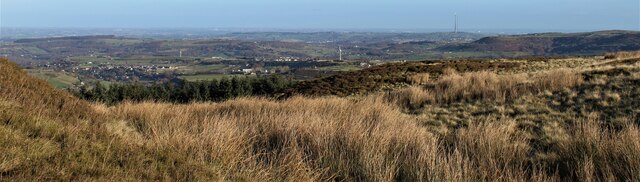
Birds Edge Hill is a prominent hill located in the village of Birds Edge, West Yorkshire, England. Situated in the Kirklees district, it forms part of the Pennine Range and offers stunning panoramic views of the surrounding countryside. The hill stands at an elevation of approximately 1,100 feet (335 meters) above sea level.

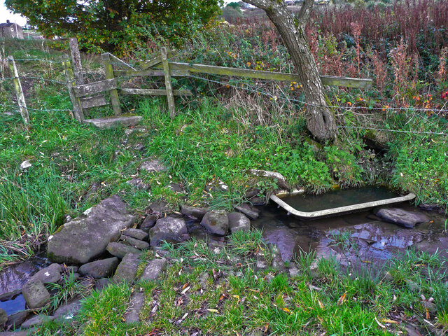
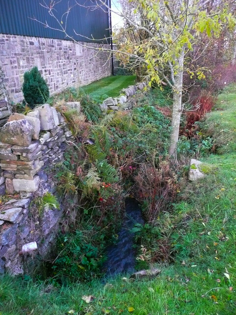
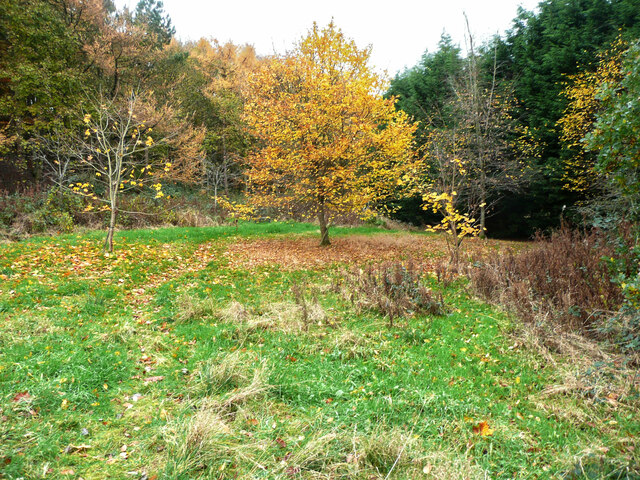
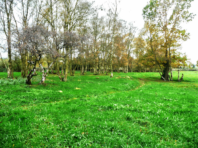
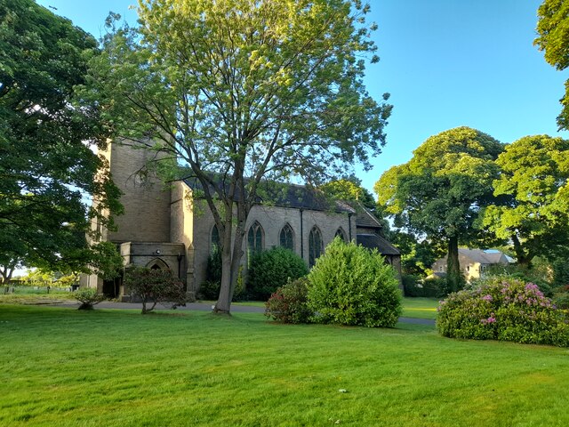
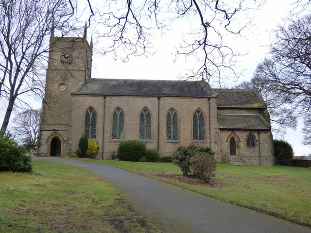
Covered in lush greenery, Birds Edge Hill is a popular destination for nature enthusiasts and hikers. The hill is characterized by its rolling landscape, with gentle slopes and undulating terrain. It is home to a diverse range of flora and fauna, making it an important habitat for wildlife.

At the summit of Birds Edge Hill, visitors are rewarded with breathtaking vistas of the nearby villages, farmland, and distant hills. On clear days, it is even possible to see as far as the Peak District National Park, which lies to the south.

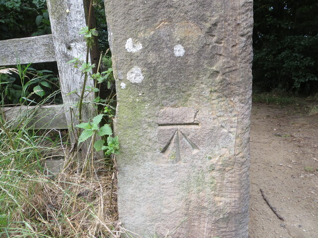
The hill has several designated footpaths and trails, allowing visitors to explore its beauty at their own pace. One of the most popular routes is the Birds Edge Circular Walk, which takes hikers on a scenic journey around the hill and through the picturesque countryside.

In addition to its natural beauty, Birds Edge Hill also has historical significance. It is believed that the hill was once used for mining activities, with evidence of old mine shafts scattered across its slopes.

Birds Edge Hill offers a tranquil and idyllic setting for those seeking to immerse themselves in nature and enjoy the stunning landscapes of Yorkshire.

If you have any feedback on the listing, please let us know in the comments section below.

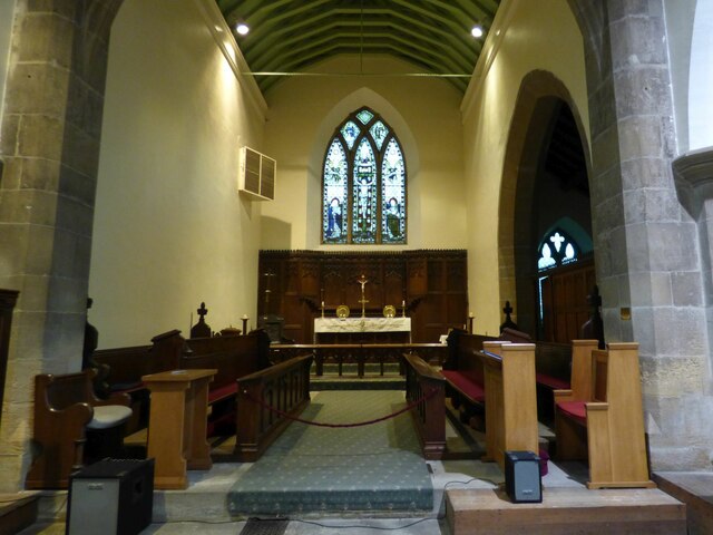
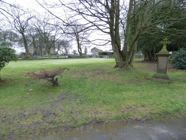
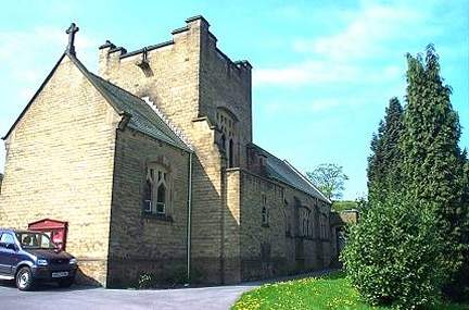
Birds Edge Hill Images

Images are sourced within 2km of 53.563019/-1.6891186 or Grid Reference SE2007. Thanks to Geograph Open Source API. All images are credited.

Footpath crossing a stream, Shepley - Cumberworth This stream is here the boundary between Shepley and Cumberworth. It is not named on maps, but is the source tributary of Fenay Beck. The source is a spring below the A635. A bath has been sunk into the bed of the stream to provide a drinking trough for cattle.
Footpath crossing a stream, Shepley - Cumberworth
This stream is here the boundary between Shepley and Cumberworth. It is not named on maps, but is the source tributary of Fenay Beck. The source is a spring below the A635. A bath has been sunk into the bed of the stream to provide a drinking trough for cattle.
Stream emerging from a culvert under Carr Lane, Cumberworth This is a boundary stream, with Shepley on the left and Cumberworth on the right.
Stream emerging from a culvert under Carr Lane, Cumberworth
This is a boundary stream, with Shepley on the left and Cumberworth on the right.
Autumn colour, Upper Cumberworth Whilst exploring a footpath I found that it crosses a field apparently left to nature, with young trees and patches of brambles.  There is a seat behind the tree in the centre of the image, and I thought that this might be a Millennium green, but the nearest ones are at Emley and Clayton West; Upper Cumberworth has a small village garden.
Autumn colour, Upper Cumberworth
Whilst exploring a footpath I found that it crosses a field apparently left to nature, with young trees and patches of brambles. There is a seat behind the tree in the centre of the image, and I thought that this might be a Millennium green, but the nearest ones are at Emley and Clayton West; Upper Cumberworth has a small village garden.
Area of springs, Upper Cumberworth There is water amongst the grass in this area, especially in hollows amongst the birch trees on the other side of the footpath.
Area of springs, Upper Cumberworth
There is water amongst the grass in this area, especially in hollows amongst the birch trees on the other side of the footpath.
View from Snailsden Moor View from Snailsden Moor towards Emley Moor TV mast.
View from Snailsden Moor
View from Snailsden Moor towards Emley Moor TV mast.
Old milestone This West Riding CC milestone is seen when leaving Denby Dale just beyond the railway viaduct and before the junction with the A635 from Barnsley.   Only a few of these flat castings were made, usually where there was no space for the protruding style.  However this one is unique.   It is the only one of the surviving flat castings which is not divided by a central raised line.   This is because Denby Dale and Wakefield are in the same direction.  Another difference is that the foundry name is at the centre top instead of on the left side.   It is Grade II listed 1135309.
Old milestone
This West Riding CC milestone is seen when leaving Denby Dale just beyond the railway viaduct and before the junction with the A635 from Barnsley. Only a few of these flat castings were made, usually where there was no space for the protruding style. However this one is unique. It is the only one of the surviving flat castings which is not divided by a central raised line. This is because Denby Dale and Wakefield are in the same direction. Another difference is that the foundry name is at the centre top instead of on the left side. It is Grade II listed 1135309.
Old milestone This milestone is set into the garden wall of Salt Pie Cottage on the A629 between High Flatts and Birds Edge.  The owners rebuilt the wall to show more of the milestone and on a very sunny day it is surrounded by flowers, possibly of the mallow family.   It is 9 miles to Huddersfield and 3¼ to Penistone on the old tollroad.  Grade II listed 1135304.
Old milestone
This milestone is set into the garden wall of Salt Pie Cottage on the A629 between High Flatts and Birds Edge. The owners rebuilt the wall to show more of the milestone and on a very sunny day it is surrounded by flowers, possibly of the mallow family. It is 9 miles to Huddersfield and 3¼ to Penistone on the old tollroad. Grade II listed 1135304.
Permissive footpath at Ingbirchworth Reservoir Looking north-westward.
Permissive footpath at Ingbirchworth Reservoir
Looking north-westward.
St John the Evangelist Church, Upper Denby A handsome building.
St John the Evangelist Church, Upper Denby
A handsome building.
Ordnance Survey Cut Mark This mark can be found on a gatepost at the footpath entrance to Ingbirchworth Reservoir.
The recorded details give a height of 255.8613 metres above sea level.
For more detail see : <span class="nowrap"><a title="https://www.bench-marks.org.uk/bm52601" rel="nofollow ugc noopener" href="https://www.bench-marks.org.uk/bm52601">Link</a><img style="margin-left:2px;" alt="External link" title="External link - shift click to open in new window" src="https://s1.geograph.org.uk/img/external.png" width="10" height="10"/></span>
Ordnance Survey Cut Mark
This mark can be found on a gatepost at the footpath entrance to Ingbirchworth Reservoir. The recorded details give a height of 255.8613 metres above sea level. For more detail see : LinkExternal link
St John the Evangelist, Denby - south side The church was built in 1842-3, typically for its time with galleries but no chancel. Equally typical of its time was the removal of the galleries and addition of a chancel and porch in 1900. Grade II listed (list entry 1313363).
St John the Evangelist, Denby - south side
The church was built in 1842-3, typically for its time with galleries but no chancel. Equally typical of its time was the removal of the galleries and addition of a chancel and porch in 1900. Grade II listed (list entry 1313363).
St John the Evangelist, Denby - nave The church was built in 1842-3, typically for its time with galleries but no chancel. Equally typical of its time was the removal of the galleries and addition of a chancel and porch in 1900. Grade II listed (list entry 1313363).
St John the Evangelist, Denby - nave
The church was built in 1842-3, typically for its time with galleries but no chancel. Equally typical of its time was the removal of the galleries and addition of a chancel and porch in 1900. Grade II listed (list entry 1313363).
St John the Evangelist, Denby - chancel The church was built in 1842-3, but this narrow chancel was only added in 1900. Grade II listed (list entry 1313363).
St John the Evangelist, Denby - chancel
The church was built in 1842-3, but this narrow chancel was only added in 1900. Grade II listed (list entry 1313363).
St John the Evangelist, Denby - war memorial The war memorial takes the form of wooden panelling between the tower and nave, bearing the names of twenty-four men who died in the First World War, and two in the Second. Beneath the names is written 'While they sleep, Lord Jesus, look on them. When they rise, receive them'.
St John the Evangelist, Denby - war memorial
The war memorial takes the form of wooden panelling between the tower and nave, bearing the names of twenty-four men who died in the First World War, and two in the Second. Beneath the names is written 'While they sleep, Lord Jesus, look on them. When they rise, receive them'.
St John the Evangelist, Denby - font A slender stone font with wooden cover.
St John the Evangelist, Denby - font
A slender stone font with wooden cover.
St John the Evangelist, Denby - front churchyard Nearly all the gravestones have been removed from the area to the front of the church, unlike the rear where they are all still in place.
St John the Evangelist, Denby - front churchyard
Nearly all the gravestones have been removed from the area to the front of the church, unlike the rear where they are all still in place.
St John the Evangelist, Denby - rear churchyard Immediately west of the church building, old gravestones have been laid flat as ledgers. Beyond that, nearly all the gravestones are still in place. The churchyard is now full, with few if any burials having taken place since 1975.
St John the Evangelist, Denby - rear churchyard
Immediately west of the church building, old gravestones have been laid flat as ledgers. Beyond that, nearly all the gravestones are still in place. The churchyard is now full, with few if any burials having taken place since 1975.
Spicer House Lane Looking toward Brown's Edge Farm from the entrance to what is now called Spicer Manor.
Spicer House Lane
Looking toward Brown's Edge Farm from the entrance to what is now called Spicer Manor.
Show me another place!

Birds Edge Hill is located at Grid Ref: SE2007 (Lat: 53.563019, Lng: -1.6891186)

Division: West Riding

Unitary Authority: Kirklees

Police Authority: West Yorkshire

What 3 Words

///dunk.fatherly.dame. Near Denby Dale, West Yorkshire

Related Wikis

Birdsedge

Birdsedge (or Birds Edge) is a small village in the borough of Kirklees in West Yorkshire, England, on the edge of Yorkshire's Pennine Hills, standing...

Upper Cumberworth

Upper Cumberworth is a small village in West Yorkshire, England, within the civil parish of Denby Dale and the Diocese of Wakefield. It is between the...

Lower Cumberworth

Lower Cumberworth is a village in the borough of Kirklees, West Yorkshire, England. The village is situated 8 miles (13 km) to the south-east of Huddersfield...

Denby Dale Viaduct

Denby Dale Viaduct is a grade II listed railway viaduct in Denby Dale, West Yorkshire, England. The curving viaduct carries the Penistone line over the...

Denby Dale railway station

Denby Dale railway station serves the village of Denby Dale, in West Yorkshire, England and the surrounding area. It lies on the Penistone Line 9.5 miles...

Ingbirchworth

Ingbirchworth is a village and former civil parish, now in the parish of Gunthwaite and Ingbirchworth, in the Barnsley district, in the county of South...

Upper Denby

Upper Denby is a small village within the civil parish of Denby Dale, and the borough of Kirklees in West Yorkshire, England. Lying 11 miles (17 km) to...

Denby Dale

Denby Dale is a village and civil parish in the metropolitan borough of Kirklees in West Yorkshire, England. It is 10 miles (17 km) to the south-east of...

Nearby Amenities

Located within 500m of 53.563019,-1.6891186
Bus Stop
Penistone Road Windmill Lane
Bench: yes
Bin: no
Bus: yes
Lit: yes
Local Ref: 45017211
Naptan AtcoCode: 450017211
Naptan Bearing: NW
Naptan CommonName: Penistone Road Windmill Lane
Naptan Indicator: Stop 45017211
Naptan PlusbusZoneRef: LEEDS
Naptan ShortCommonName: Windmill Lane
Naptan Street: Penistone Road
Naptan Verified: no
Public Transport: platform
Shelter: yes
Source: naptan_import
Tactile Paving: no
Lat/Long: 53.5628961/-1.6848913
Bus Stop
Penistone Road Salt Pie
Bench: no
Bin: no
Bus: yes
Lit: yes
Local Ref: 45017212
Naptan AtcoCode: 450017212
Naptan Bearing: W
Naptan CommonName: Penistone Road Salt Pie
Naptan Indicator: Stop 45017212
Naptan PlusbusZoneRef: LEEDS
Naptan ShortCommonName: Windmill Lane
Naptan Street: Penistone Road
Naptan Verified: no
Public Transport: platform
Shelter: no
Source: naptan_import
Tactile Paving: no
Lat/Long: 53.564014/-1.6895937
Bus Stop
Penistone Road Windmill Lane
Bench: no
Bin: no
Bus: yes
Lit: yes
Local Ref: 45017251
Naptan AtcoCode: 450017251
Naptan Bearing: SE
Naptan CommonName: Penistone Road Windmill Lane
Naptan Crossing: Windmill Lane
Naptan Indicator: Stop 45017251
Naptan Landmark: Farm
Naptan PlusbusZoneRef: LEEDS
Naptan ShortCommonName: Windmill Lane
Naptan Street: Penistone Road
Naptan Verified: no
Public Transport: platform
Shelter: no
Source: naptan_import
Tactile Paving: no
Lat/Long: 53.5623076/-1.6836778
Bus Stop
Penistone Road Salt Pie
Bench: no
Bin: no
Bus: yes
Lit: no
Local Ref: 45025830
Naptan AtcoCode: 450025830
Naptan Bearing: E
Naptan CommonName: Penistone Road Salt Pie
Naptan Crossing: Twixt Birds Edge Lane - Windmill Lane
Naptan Indicator: Stop 45025830
Naptan Landmark: Adj Mill Bank Farm
Naptan PlusbusZoneRef: LEEDS
Naptan ShortCommonName: New Brighton
Naptan Street: Penistone Road
Naptan Verified: no
Public Transport: platform
Shelter: no
Source: naptan_import
Tactile Paving: no
Lat/Long: 53.5641017/-1.6891108
High Flatts
Place: hamlet
Lat/Long: 53.562178/-1.6831422
Birds Edge Airstrip
Aeroway: airstrip
Lat/Long: 53.5668805/-1.6853201
Restaurant
A Touch of Thai
Cuisine: thai
Delivery: no
Source: survey
Takeaway: yes
Lat/Long: 53.5621668/-1.6847049
A Touch of Thai
Beauty: spa
Shop: beauty
Source: survey
Lat/Long: 53.5622011/-1.6845366
Post Box
Collection Plate Date: 2017-09-19
Collection Times: Mo-Fr 16:15; Sa 11:30
Operator: Royal Mail
Post Box Type: wall
Ref: HD8 238
Royal Cypher: GVIR
Royal Cypher Wikidata: Q33102169
Source: survey
Lat/Long: 53.5624695/-1.6841286
New Brighton
Place: neighbourhood
Lat/Long: 53.5637415/-1.6898946
Power: pole
Lat/Long: 53.5650894/-1.6891979
Material: wood
Power: pole
Lat/Long: 53.564311/-1.6897226
Power: pole
Lat/Long: 53.563699/-1.6921715
Power: pole
Lat/Long: 53.5632031/-1.6919851
Power: pole
Lat/Long: 53.5627127/-1.691811
Power: pole
Lat/Long: 53.5622681/-1.6916515
Power: pole
Lat/Long: 53.5617275/-1.6925559
Power: pole
Lat/Long: 53.5614702/-1.6899408
Power: pole
Lat/Long: 53.5613254/-1.6907336
Power: pole
Lat/Long: 53.5611901/-1.6915101
Power: pole
Lat/Long: 53.5619471/-1.6871809
Power: pole
Lat/Long: 53.5621377/-1.6861279
Power: pole
Lat/Long: 53.5616208/-1.6890693
Power: pole
Lat/Long: 53.5617666/-1.6882258
Power: pole
Lat/Long: 53.5610343/-1.6923604
Power: pole
Lat/Long: 53.5597789/-1.691994
Power: pole
Lat/Long: 53.5604817/-1.692205
Power: pole
Lat/Long: 53.5590679/-1.6917943
Barrier: stile
Step Count: 1
Stile: stepover
Lat/Long: 53.5648464/-1.6857185
Bench
Backrest: yes
Lat/Long: 53.5644941/-1.6863851
Bench
Backrest: yes
Material: wood
Source: survey
Lat/Long: 53.5621995/-1.6842847
Board Type: notice
Direction: 165
Information: board
Source: survey
Tourism: information
Lat/Long: 53.5622139/-1.6842654
The data included in this document is from www.openstreetmap.org. The data is made available under ODbL.

Have you been to Birds Edge Hill?

Leave your review of Birds Edge Hill below (or comments, questions and feedback).