Birchley

Settlement in Lancashire

England

Birchley

Harvesting Barley in Billinge
Harvesting Barley in Billinge Credit: Gary Rogers

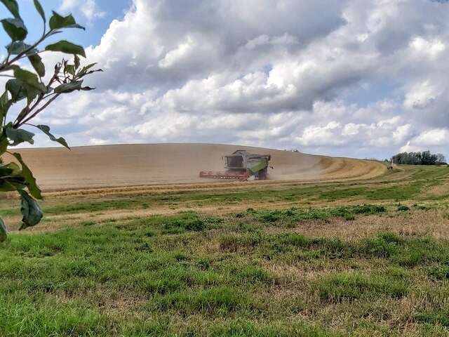
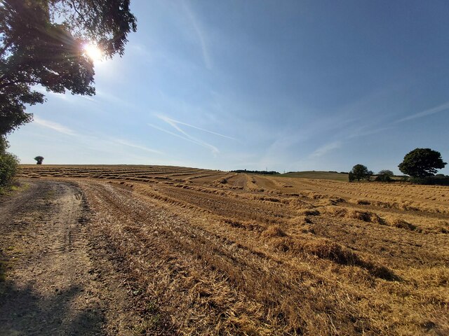
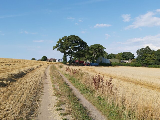
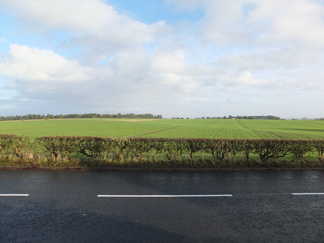
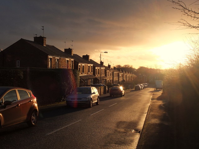
Birchley is a small village located in the county of Lancashire, England. Situated in the borough of West Lancashire, it covers an area of approximately 4 square kilometers and has a population of around 1,500 residents. The village is surrounded by picturesque countryside, with rolling hills and lush green fields.

Birchley is known for its peaceful and rural atmosphere, offering a tranquil escape from the hustle and bustle of city life. The village is characterized by its charming cottages and traditional architecture, which adds to its quaint and welcoming ambiance. The community is tight-knit, with residents often engaging in various social activities and events.

Despite its small size, Birchley boasts a range of amenities to serve its residents. These include a primary school, a village hall, a local pub, and a small convenience store. The village also benefits from good transportation links, with regular bus services connecting it to nearby towns and cities.

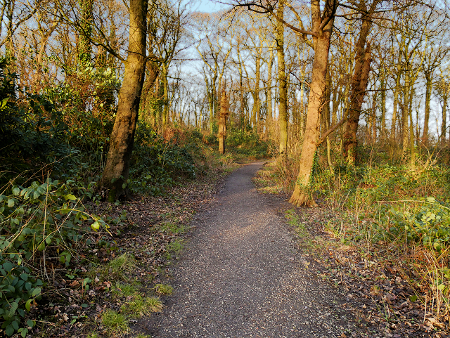
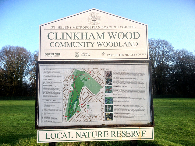
The surrounding area offers numerous outdoor recreational opportunities. Birchley is close to several nature reserves and country parks, providing ample opportunities for hiking, cycling, and birdwatching. Additionally, the village is within driving distance of larger towns, such as Ormskirk and Skelmersdale, which offer a wider range of amenities and entertainment options.

Overall, Birchley is a charming and idyllic village in Lancashire, offering a peaceful and close-knit community, beautiful scenery, and convenient access to both rural and urban amenities.

If you have any feedback on the listing, please let us know in the comments section below.
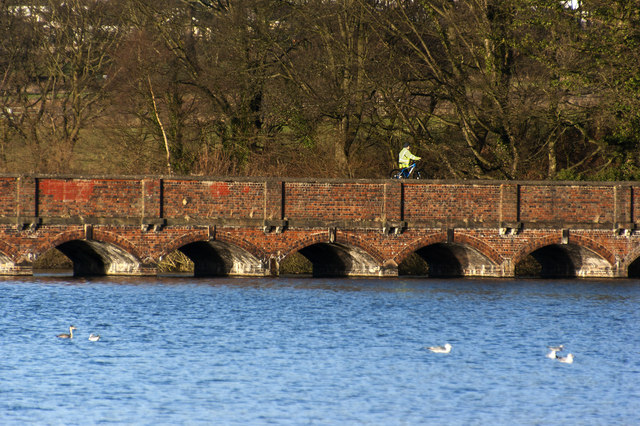
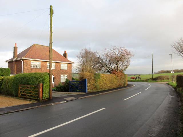
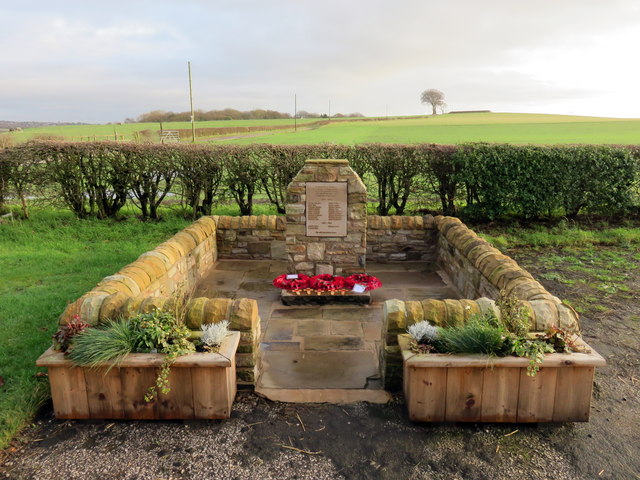
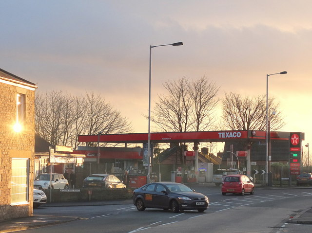
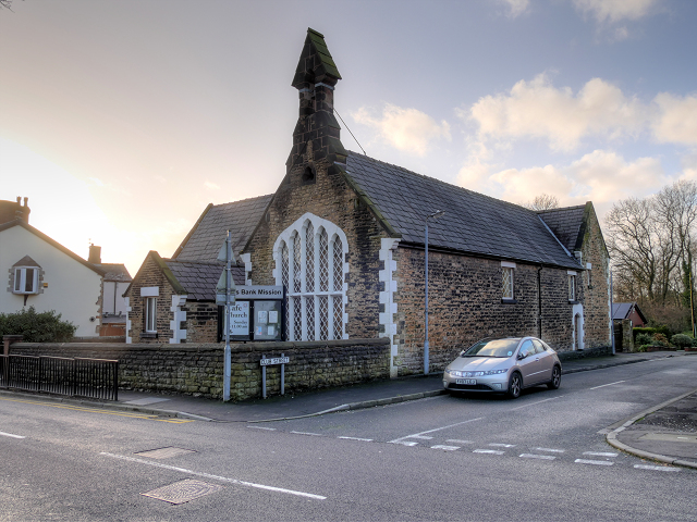
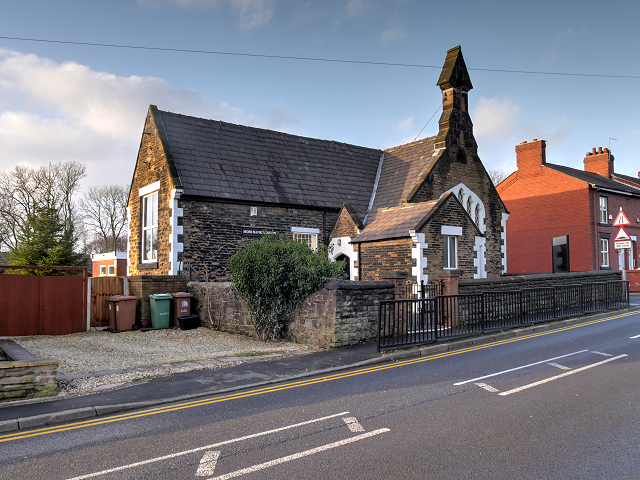
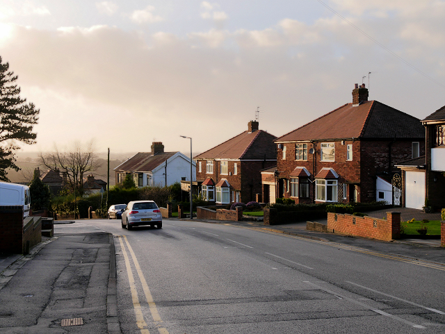
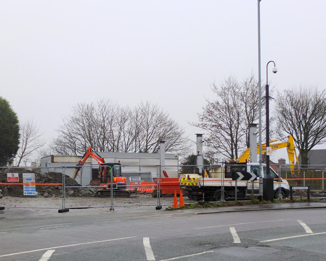
Birchley Images

Images are sourced within 2km of 53.493174/-2.720462 or Grid Reference SJ5299. Thanks to Geograph Open Source API. All images are credited.

Harvesting Barley in Billinge
Barley Straw After the barley harvest near Upholland Road
Barley Straw
After the barley harvest near Upholland Road
Harvest Time in Billinge
View East from Upholland Road on Christmas Day 2022 A collection of photographs taken around midday by Geographers from all over Britain and Ireland. 
See all the images on the map: <a title="https://www.geograph.org.uk/stuff/xmas.php?year=2022" href="https://www.geograph.org.uk/stuff/xmas.php?year=2022">Link</a>
View East from Upholland Road on Christmas Day 2022
A collection of photographs taken around midday by Geographers from all over Britain and Ireland. See all the images on the map: Link
The nineteen arch bridge at Carr Mill Dam
House on the corner of Crank Hill
Crank and Kings Moss War Memorial New war memorial for Crank and Kings Moss, dedicated on 19 July 2015.
Crank and Kings Moss War Memorial
New war memorial for Crank and Kings Moss, dedicated on 19 July 2015.
Junction of Main Street and Carr Mill Road, Billinge
Holt Avenue, Billinge
Path in Clinkham Wood There has been a wood at this site for several centuries. This wooded area is classified as a large urban clough woodland with a spring-fed stream and marshy areas. Tree cover is mostly old plantation of Oak, Sycamore and Ash, with occasional Birch in more acidic areas.

Part of the Mersey Forest, It is maintained as a joint initiative between the local authority and the Forestry/Countryside Commission.

(adapted from a nearby information board <a href="https://www.geograph.org.uk/photo/4802151">SJ5198 : Clinkham Wood Information Board</a>).
Path in Clinkham Wood
There has been a wood at this site for several centuries. This wooded area is classified as a large urban clough woodland with a spring-fed stream and marshy areas. Tree cover is mostly old plantation of Oak, Sycamore and Ash, with occasional Birch in more acidic areas. Part of the Mersey Forest, It is maintained as a joint initiative between the local authority and the Forestry/Countryside Commission. (adapted from a nearby information board SJ5198 : Clinkham Wood Information Board).
Clinkham Wood Information Board There has been a wood at this site for several centuries. This wooded area is classified as a large urban clough woodland with a spring-fed stream and marshy areas. Tree cover is mostly old plantation of Oak, Sycamore and Ash, with occasional Birch in more acidic areas.

Part of the Mersey Forest, It is maintained as a joint initiative between the local authority and the Forestry/Countryside Commission.

(adapted from a nearby information board <a href="https://www.geograph.org.uk/photo/4802151">SJ5198 : Clinkham Wood Information Board</a>).
Clinkham Wood Information Board
There has been a wood at this site for several centuries. This wooded area is classified as a large urban clough woodland with a spring-fed stream and marshy areas. Tree cover is mostly old plantation of Oak, Sycamore and Ash, with occasional Birch in more acidic areas. Part of the Mersey Forest, It is maintained as a joint initiative between the local authority and the Forestry/Countryside Commission. (adapted from a nearby information board SJ5198 : Clinkham Wood Information Board).
St Patrick's RC Church Clinkham Wood Seen here from across the playing fields, the church was built in 1964 to serve a new housing estate, part of the post-war northern expansion of St Helens.
St Patrick's RC Church Clinkham Wood
Seen here from across the playing fields, the church was built in 1964 to serve a new housing estate, part of the post-war northern expansion of St Helens.
Clinkham Wood Recreation Ground, Elliott's Field
Moss Bank Mission Situated at the corner of Club Street and Moss Bank Road, Moss Bank Mission is the former Moss Bank School which closed as a school in 1978.
Moss Bank Mission
Situated at the corner of Club Street and Moss Bank Road, Moss Bank Mission is the former Moss Bank School which closed as a school in 1978.
Moss Bank Mission, Clinkham Wood Situated at the corner of Club Street and Moss Bank Road, Moss Bank Mission is the former Moss Bank School which closed as a school in 1978.
Moss Bank Mission, Clinkham Wood
Situated at the corner of Club Street and Moss Bank Road, Moss Bank Mission is the former Moss Bank School which closed as a school in 1978.
Moss Bank Road, Clinkham Wood
Closed down petrol station on Main Street There has been a petrol station here for as long as I can remember. Recently it was a Texaco but was a Shell station before that and possibly a BP before that.
Closed down petrol station on Main Street
There has been a petrol station here for as long as I can remember. Recently it was a Texaco but was a Shell station before that and possibly a BP before that.
Redevelopment of Petrol Station and Spar Store on Main Street
Show me another place!

Birchley is located at Grid Ref: SJ5299 (Lat: 53.493174, Lng: -2.720462)

Unitary Authority: St. Helens

Police Authority: Merseyside

What 3 Words

///coiling.courts.airports. Near Billinge, Merseyside

Related Wikis

St Mary's Church, Billinge

St Mary's Church is an active Roman Catholic church along Birchley Road, Billinge, St Helens, Merseyside, England. Belonging to the archdiocese of Liverpool...
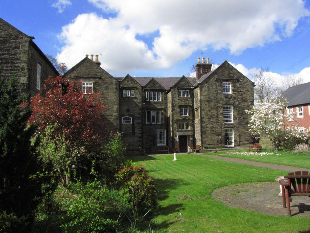
Birchley Hall

Birchley Hall is a grade II* listed Elizabethan house built in about 1594, in Billinge, Merseyside, England.Birchley Hall was bought by Christopher Anderton...

Billinge, Merseyside

Billinge is a village within the Metropolitan Borough of St Helens, Merseyside, England. It forms the larger part of the civil parish of Billinge Chapel...

St Helens North (UK Parliament constituency)

St. Helens North is a constituency created in 1983 represented in the House of Commons of the UK Parliament since 2015 by the Labour Party's Conor McGinn...

Crank Caverns

Crank Caverns is the common name of the remains of the Rainford Delph Quarry near Crank in St. Helens, Merseyside, England. It is a vast network of old...

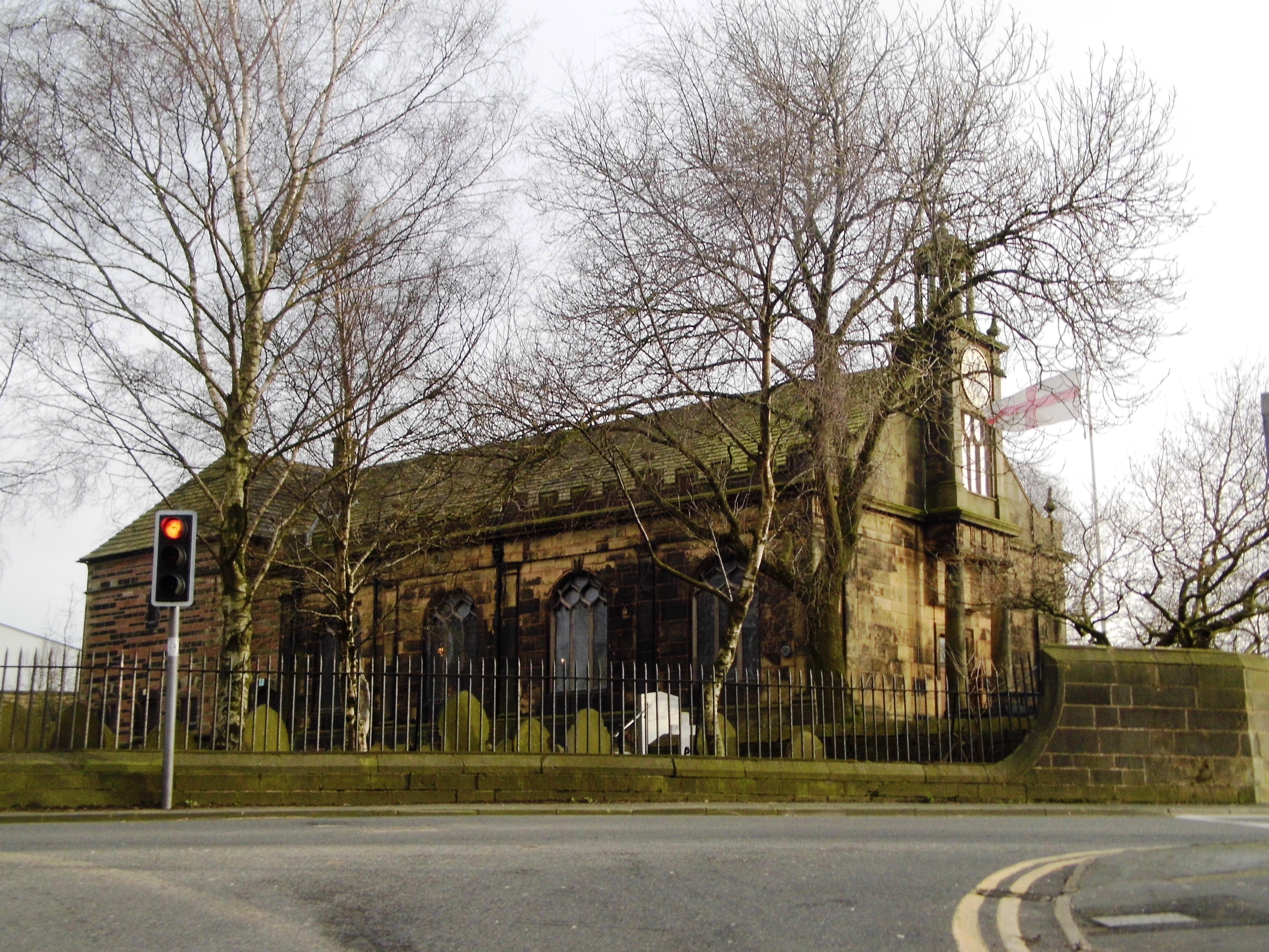
St Aidan's Church, Billinge

St Aidan's Church is in Main Street, Billinge, St Helens, Merseyside, England. It is an active Anglican parish church in the diocese of Liverpool. It...

Billinge Hill

Billinge Hill, also known as Billinge Bump, is in the Metropolitan Borough of St Helens in North West England. With a maximum elevation of 179 m (587 ft...

Wish FM

Wish FM was an Independent Local Radio station serving Wigan in Greater Manchester and the St Helens area of Merseyside from studios in the Orrell area...

Nearby Amenities

Located within 500m of 53.493174,-2.720462
Crossing
Button Operated: yes
Crossing: traffic_signals
Crossing Island: no
Crossing Ref: puffin
Kerb: lowered
Tactile Paving: yes
Lat/Long: 53.4916297/-2.7175022
Mini Roundabout
Direction: clockwise
Lat/Long: 53.4939083/-2.7131964
Bus Stop
BIRCHLEY RD/TRENT RD
Bus: yes
Naptan AtcoCode: 2800S11013A
Naptan Bearing: NE
Naptan CommonName: BIRCHLEY RD/TRENT RD
Naptan Indicator: BIRCHLEY ROAD/TRENT ROAD
Naptan Landmark: SHELTER AT ANGLE PAST CHURCH
Naptan NaptanCode: meradjwt
Naptan Notes: No Notes
Naptan ShortCommonName: Birchley Road
Naptan Street: BIRCHLEY ROAD
Naptan Verified: no
Public Transport: platform
Source: naptan_import
Lat/Long: 53.4908737/-2.7193163
Bus Stop
BIRCHLEY RD
Bus: yes
Naptan AtcoCode: 2800S11013B
Naptan Bearing: NE
Naptan CommonName: BIRCHLEY RD
Naptan Indicator: BIRCHLEY ROAD
Naptan Landmark: O/S HOUSE 82
Naptan NaptanCode: meradmad
Naptan Notes: No Notes
Naptan ShortCommonName: Birchley Rd
Naptan Street: BIRCHLEY ROAD
Naptan Verified: no
Public Transport: platform
Source: naptan_import
Lat/Long: 53.4906528/-2.7201717
Bus Stop
BIRCHLEY RD/LILAC GROVE
Bus: yes
Naptan AtcoCode: 2800S11014A
Naptan Bearing: SW
Naptan CommonName: BIRCHLEY RD/LILAC GROVE
Naptan Indicator: BIRCHLEY ROAD/RAINFORD AVENUE
Naptan Landmark: LILAC GROVE OPP 36/38
Naptan NaptanCode: meradmag
Naptan Notes: No Notes
Naptan ShortCommonName: Birchley RC School
Naptan Street: BIRCHLEY ROAD
Naptan Verified: no
Public Transport: platform
Source: naptan_import
Lat/Long: 53.4925623/-2.715034
Bus Stop
BIRCHLEY RD/YOUTH & COMMUNITY CTRE
Bus: yes
Naptan AtcoCode: 2800S11014B
Naptan Bearing: NE
Naptan CommonName: BIRCHLEY RD/YOUTH & COMMUNITY CTRE
Naptan Indicator: BIRCHLEY ROAD/RAINFORD ROAD
Naptan Landmark: HOLT AVENUE O/S YOUTH & COMMUNITY CENTRE
Naptan NaptanCode: meradmaj
Naptan Notes: No Notes
Naptan ShortCommonName: Birchley RC School
Naptan Street: BIRCHLEY ROAD
Naptan Verified: no
Public Transport: platform
Source: naptan_import
Lat/Long: 53.4920684/-2.7164576
Addr City: Billinge
Addr Housenumber: 57
Addr Street: Rainford Road
Building: house
Lat/Long: 53.4951671/-2.7159443
Crossing
Crossing: unmarked
Crossing Island: no
Tactile Paving: no
Lat/Long: 53.4898015/-2.7218726
Traffic Signals
Traffic Signals: crossing
Traffic Signals Direction: forward
Lat/Long: 53.4916145/-2.7175449
Traffic Signals
Traffic Signals: crossing
Traffic Signals Direction: backward
Lat/Long: 53.4916457/-2.7174545
Give Way
Direction: forward
Lat/Long: 53.4955799/-2.7164696
Give Way
Direction: forward
Lat/Long: 53.4967628/-2.7212626
The data included in this document is from www.openstreetmap.org. The data is made available under ODbL.

Have you been to Birchley?

Leave your review of Birchley below (or comments, questions and feedback).