Billinge

Settlement in Lancashire

England

Billinge

Harvesting Barley in Billinge
Harvesting Barley in Billinge Credit: Gary Rogers

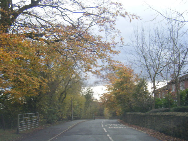
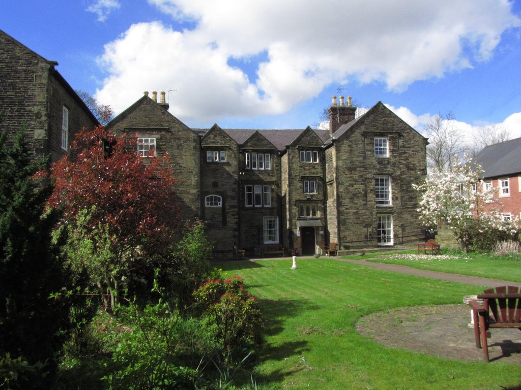
Billinge is a small village located in the county of Lancashire, England. Situated on the southern slopes of Billinge Hill, it is part of the Metropolitan Borough of St Helens. The village is approximately 6 miles northwest of Wigan and 16 miles east of Liverpool.

With a rich history dating back to the medieval times, Billinge is known for its close-knit community and picturesque surroundings. The village offers a blend of rural charm and modern amenities, making it an attractive place to live or visit. The local architecture showcases a mix of traditional stone-built cottages and more contemporary housing.

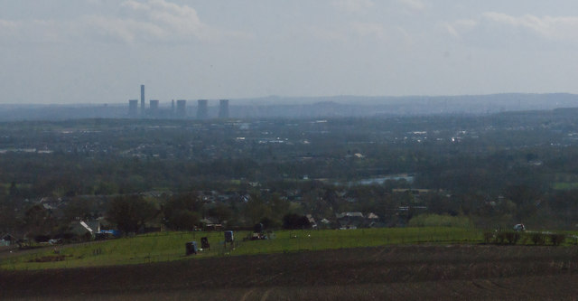
Billinge Hill, a prominent landmark in the area, stands at an elevation of 587 feet and provides stunning panoramic views of the surrounding countryside. The hill is a popular destination for outdoor enthusiasts, offering various walking trails and opportunities for leisure activities such as paragliding and mountain biking.

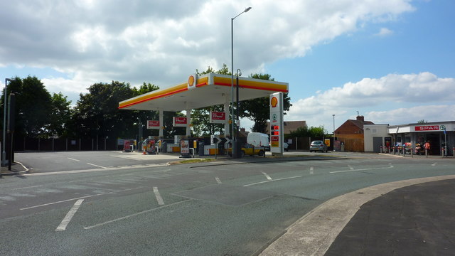
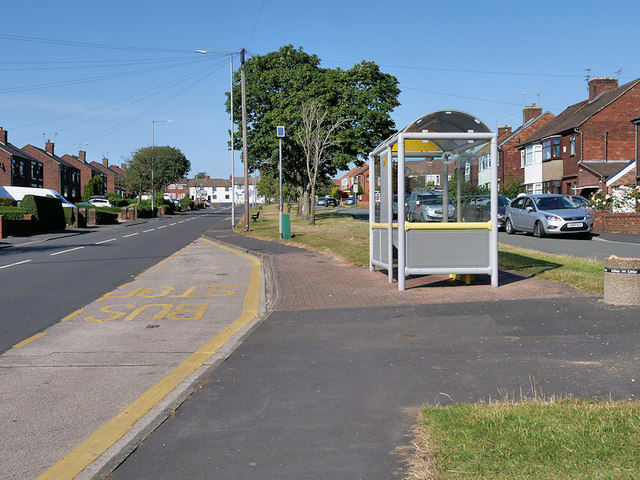
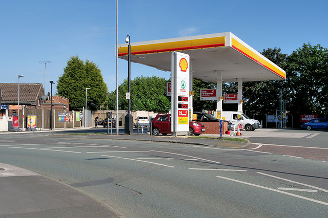
The village is well-served by local amenities, including a range of shops, pubs, and restaurants. It also boasts several schools, making it an ideal location for families. Additionally, Billinge has good transport links, with regular bus services connecting it to nearby towns and cities.

Despite its small size, Billinge hosts various community events throughout the year, fostering a strong sense of community spirit. The village also benefits from its proximity to larger urban centers, allowing residents to easily access a wider range of services and entertainment options.

Overall, Billinge offers a tranquil and scenic setting, making it a desirable place for those seeking a balance between rural living and urban convenience.

If you have any feedback on the listing, please let us know in the comments section below.
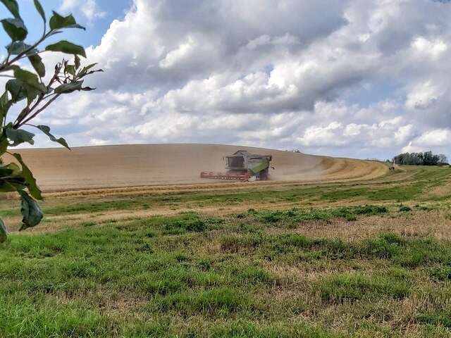
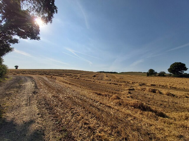
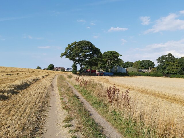
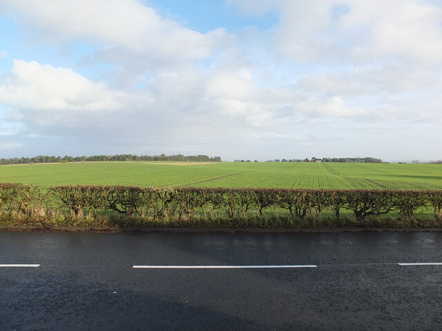
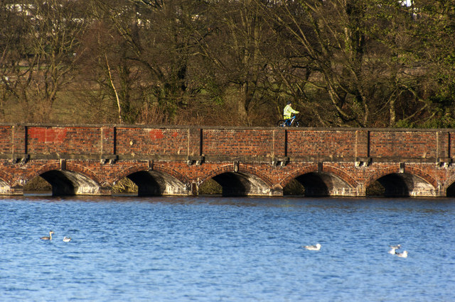
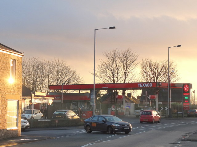
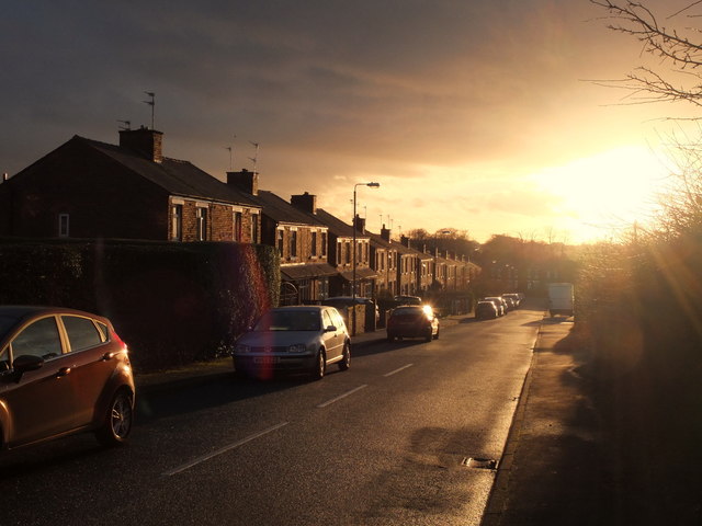
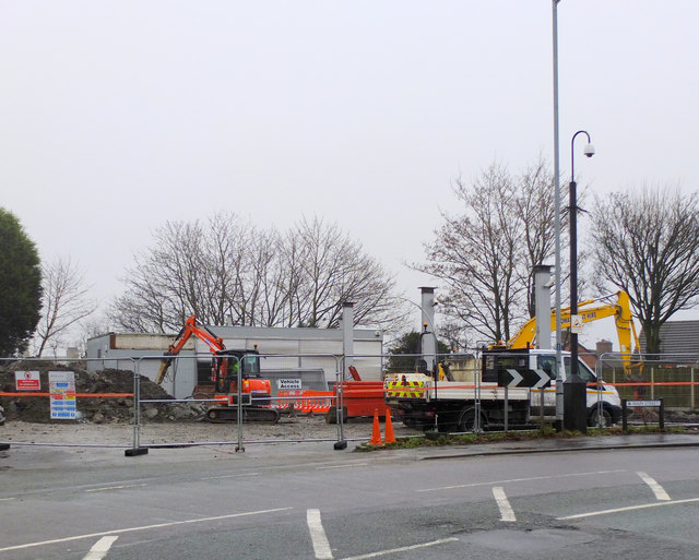
Billinge Images

Images are sourced within 2km of 53.493822/-2.7109567 or Grid Reference SJ5299. Thanks to Geograph Open Source API. All images are credited.

Harvesting Barley in Billinge
Barley Straw After the barley harvest near Upholland Road
Barley Straw
After the barley harvest near Upholland Road
Harvest Time in Billinge
View East from Upholland Road on Christmas Day 2022 A collection of photographs taken around midday by Geographers from all over Britain and Ireland. 
See all the images on the map: <a title="https://www.geograph.org.uk/stuff/xmas.php?year=2022" href="https://www.geograph.org.uk/stuff/xmas.php?year=2022">Link</a>
View East from Upholland Road on Christmas Day 2022
A collection of photographs taken around midday by Geographers from all over Britain and Ireland. See all the images on the map: Link
The nineteen arch bridge at Carr Mill Dam
Junction of Main Street and Carr Mill Road, Billinge
Holt Avenue, Billinge
Closed down petrol station on Main Street There has been a petrol station here for as long as I can remember. Recently it was a Texaco but was a Shell station before that and possibly a BP before that.
Closed down petrol station on Main Street
There has been a petrol station here for as long as I can remember. Recently it was a Texaco but was a Shell station before that and possibly a BP before that.
Redevelopment of Petrol Station and Spar Store on Main Street
Petrol Station Redevelopment, Main Street, Billinge
Final preparations For the reopening of the petrol station and Spar store on Main Street, Billinge
Final preparations
For the reopening of the petrol station and Spar store on Main Street, Billinge
Carr Mill Road, Billinge
Fiddler's Ferry power station and Carr Mill Dam from Billinge Hill No longer are 16 counties and 6 kingdoms visible - just the haze of pollution
Fiddler's Ferry power station and Carr Mill Dam from Billinge Hill
No longer are 16 counties and 6 kingdoms visible - just the haze of pollution
Garswood Road, Billinge
Shell and Spar, A571, Billinge
St Mary's Roman Catholic Church, Billinge St Mary's Church, on Birchley Road, dates from 1828 with mid-nineteenth century additions. It is a Grade II listed building (Historic England List Entry Number: 1075919 <span class="nowrap"><a title="https://historicengland.org.uk/listing/the-list/list-entry/1075919" rel="nofollow ugc noopener" href="https://historicengland.org.uk/listing/the-list/list-entry/1075919">Link</a><img style="margin-left:2px;" alt="External link" title="External link - shift click to open in new window" src="https://s1.geograph.org.uk/img/external.png" width="10" height="10"/></span>  ).
St Mary's Roman Catholic Church, Billinge
St Mary's Church, on Birchley Road, dates from 1828 with mid-nineteenth century additions. It is a Grade II listed building (Historic England List Entry Number: 1075919 LinkExternal link ).
Billinge, Bus Stop on Birchley Road
Shell Petrol Station, Billinge Petrol station on Rainford Road
Shell Petrol Station, Billinge
Petrol station on Rainford Road
Show me another place!

Billinge is located at Grid Ref: SJ5299 (Lat: 53.493822, Lng: -2.7109567)

Unitary Authority: St. Helens

Police Authority: Merseyside

What 3 Words

///feasts.live.cleanser. Near Billinge, Merseyside

Related Wikis

Billinge, Merseyside

Billinge is a village within the Metropolitan Borough of St Helens, Merseyside, England. It forms the larger part of the civil parish of Billinge Chapel...

Birchley Hall

Birchley Hall is a grade II* listed Elizabethan house built in about 1594, in Billinge, Merseyside, England.Birchley Hall was bought by Christopher Anderton...

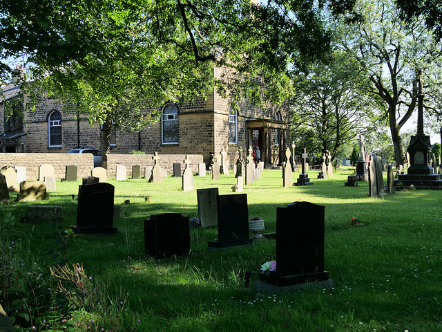
St Mary's Church, Billinge

St Mary's Church is an active Roman Catholic church along Birchley Road, Billinge, St Helens, Merseyside, England. Belonging to the archdiocese of Liverpool...

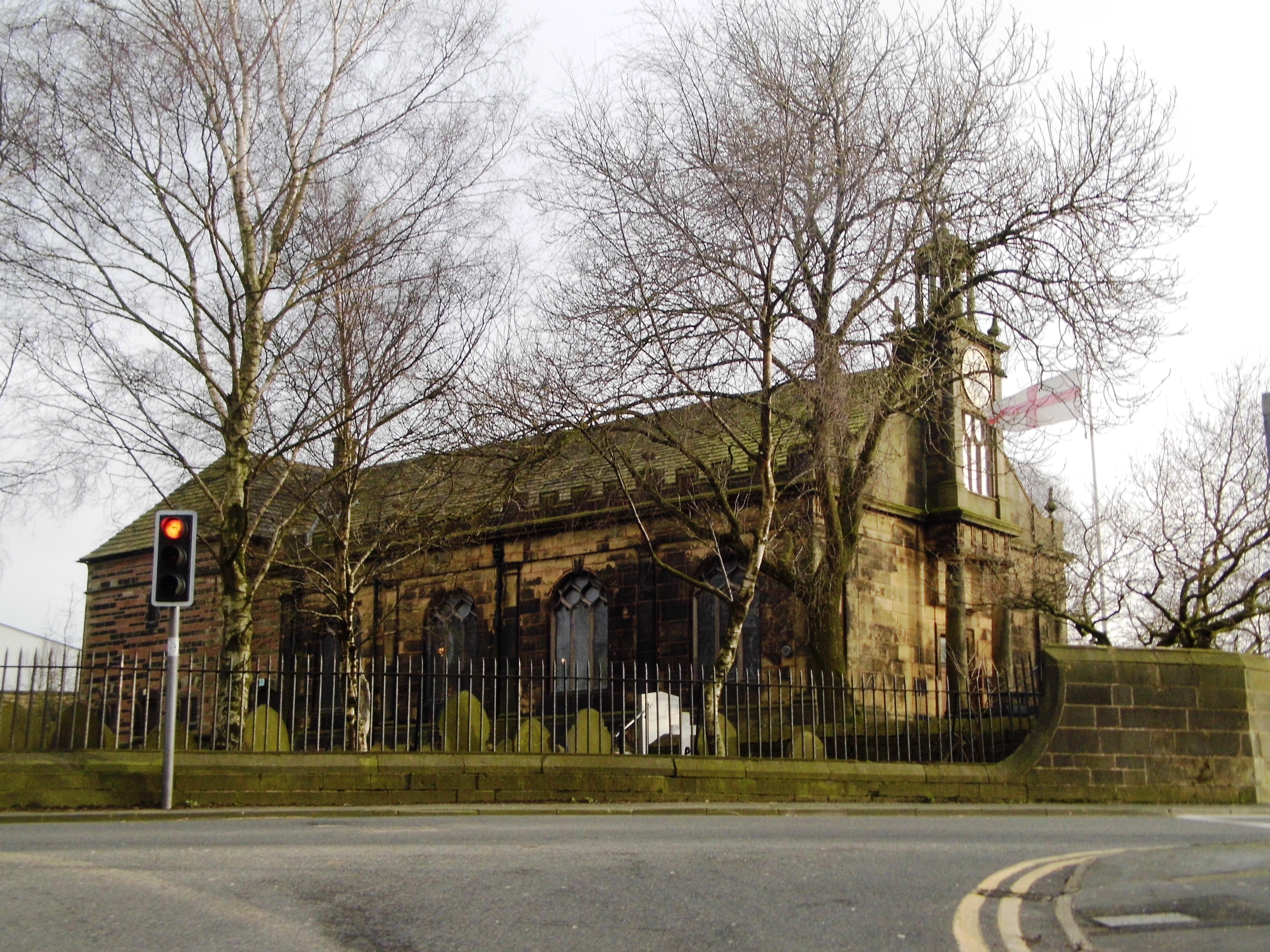
St Aidan's Church, Billinge

St Aidan's Church is in Main Street, Billinge, St Helens, Merseyside, England. It is an active Anglican parish church in the diocese of Liverpool. It...

St Helens North (UK Parliament constituency)

St. Helens North is a constituency created in 1983 represented in the House of Commons of the UK Parliament since 2015 by the Labour Party's Conor McGinn...

Billinge Hill

Billinge Hill, also known as Billinge Bump, is in the Metropolitan Borough of St Helens in North West England. With a maximum elevation of 179 m (587 ft...

Crank Caverns

Crank Caverns is the common name of the remains of the Rainford Delph Quarry near Crank in St. Helens, Merseyside, England. It is a vast network of old...

Wish FM

Wish FM was an Independent Local Radio station serving Wigan in Greater Manchester and the St Helens area of Merseyside from studios in the Orrell area...

Nearby Amenities

Located within 500m of 53.493822,-2.7109567
Billinge
Place: village
Lat/Long: 53.4974486/-2.7073893
Crossing
Button Operated: yes
Crossing: traffic_signals
Crossing Island: no
Crossing Ref: puffin
Kerb: lowered
Tactile Paving: yes
Lat/Long: 53.4916297/-2.7175022
Mini Roundabout
Direction: clockwise
Lat/Long: 53.4939083/-2.7131964
Turning Circle
Lat/Long: 53.4930358/-2.7115823
Bus Stop
BIRCHLEY RD/LILAC GROVE
Bus: yes
Naptan AtcoCode: 2800S11014A
Naptan Bearing: SW
Naptan CommonName: BIRCHLEY RD/LILAC GROVE
Naptan Indicator: BIRCHLEY ROAD/RAINFORD AVENUE
Naptan Landmark: LILAC GROVE OPP 36/38
Naptan NaptanCode: meradmag
Naptan Notes: No Notes
Naptan ShortCommonName: Birchley RC School
Naptan Street: BIRCHLEY ROAD
Naptan Verified: no
Public Transport: platform
Source: naptan_import
Lat/Long: 53.4925623/-2.715034
Bus Stop
BIRCHLEY RD/YOUTH & COMMUNITY CTRE
Bus: yes
Naptan AtcoCode: 2800S11014B
Naptan Bearing: NE
Naptan CommonName: BIRCHLEY RD/YOUTH & COMMUNITY CTRE
Naptan Indicator: BIRCHLEY ROAD/RAINFORD ROAD
Naptan Landmark: HOLT AVENUE O/S YOUTH & COMMUNITY CENTRE
Naptan NaptanCode: meradmaj
Naptan Notes: No Notes
Naptan ShortCommonName: Birchley RC School
Naptan Street: BIRCHLEY ROAD
Naptan Verified: no
Public Transport: platform
Source: naptan_import
Lat/Long: 53.4920684/-2.7164576
Bus Stop
RAINFORD RD/BEULAH AVE
Bus: yes
Naptan AtcoCode: 2800S11015A
Naptan Bearing: W
Naptan CommonName: RAINFORD RD/BEULAH AVE
Naptan Indicator: RAINFORD ROAD/BIRCHLEY ROAD
Naptan Landmark: SHOPS TO REAR OF SHELTER
Naptan NaptanCode: meradmam
Naptan Notes: No Notes
Naptan ShortCommonName: Rainford Road
Naptan Street: RAINFORD ROAD
Naptan Verified: no
Public Transport: platform
Source: naptan_import
Lat/Long: 53.4937453/-2.7126119
Bus Stop
RAINFORD RD/BEULAH AVE
Bus: yes
Naptan AtcoCode: 2800S11015B
Naptan Bearing: E
Naptan CommonName: RAINFORD RD/BEULAH AVE
Naptan Indicator: RAINFORD ROAD/BEULAH AVENUE
Naptan Landmark: CLOSE TO BILLINGE CLINIC
Naptan NaptanCode: meradmap
Naptan Notes: No Notes
Naptan ShortCommonName: Rainford Road
Naptan Street: RAINFORD ROAD
Naptan Verified: no
Public Transport: platform
Source: naptan_import
Lat/Long: 53.4937833/-2.7122659
Bus Stop
MAIN ST/FORESTERS ARMS PH
Bus: yes
Naptan AtcoCode: 2800S11016A
Naptan Bearing: S
Naptan CommonName: MAIN ST/FORESTERS ARMS PH
Naptan Indicator: MAIN STREET/PICCADILLY
Naptan Landmark: O/S FORESTERS ARMS PH
Naptan NaptanCode: meradmat
Naptan Notes: No Notes
Naptan ShortCommonName: Main St/Foresters
Naptan Street: MAIN STREET
Naptan Verified: no
Public Transport: platform
Source: naptan_import
Lat/Long: 53.4960046/-2.7090772
Bus Stop
MAIN ST/FAIR VIEW
Bus: yes
Naptan AtcoCode: 2800S11016B
Naptan Bearing: NE
Naptan CommonName: MAIN ST/FAIR VIEW
Naptan Indicator: MAIN STREET/FAIR VIEW
Naptan Landmark: OPP HOUSE 155
Naptan NaptanCode: meradmaw
Naptan Notes: No Notes
Naptan ShortCommonName: Main St/Fair View
Naptan Street: MAIN STREET
Naptan Verified: no
Public Transport: platform
Source: naptan_import
Lat/Long: 53.4954435/-2.7097037
Bus Stop
MAIN ST/SCHOOL BROW
Bus: yes
Naptan AtcoCode: 2800S11017A
Naptan Bearing: S
Naptan CommonName: MAIN ST/SCHOOL BROW
Naptan Indicator: MAIN STREET/NEWTON ROAD
Naptan Landmark: NR SCHOOL BROW NR SCHOOL OPP COUNCIL OFFICES
Naptan NaptanCode: meradmda
Naptan Notes: No Notes
Naptan ShortCommonName: Main St/Sch Brow
Naptan Street: MAIN STREET
Naptan Verified: no
Public Transport: platform
Source: naptan_import
Lat/Long: 53.4977269/-2.7081562
Bus Stop
MAIN ST/GORSEY BROW
Bus: yes
Naptan AtcoCode: 2800S11017B
Naptan Bearing: N
Naptan CommonName: MAIN ST/GORSEY BROW
Naptan Indicator: MAIN STREET/NEWTON ROAD
Naptan Landmark: NR GORSEY BROW OPP SCHOOL
Naptan NaptanCode: meradmdg
Naptan Notes: No Notes
Naptan ShortCommonName: Main St/Gorsey Brow
Naptan Street: MAIN STREET
Naptan Verified: no
Public Transport: platform
Source: naptan_import
Lat/Long: 53.4974286/-2.7084376
Post Office
Source: OS OpenData StreetView
Lat/Long: 53.4935228/-2.7120783
Addr City: Billinge
Addr Housenumber: 57
Addr Street: Rainford Road
Building: house
Lat/Long: 53.4951671/-2.7159443
Crossing
Crossing: traffic_signals
Crossing Ref: puffin
Kerb: lowered
Tactile Paving: yes
Lat/Long: 53.4942375/-2.710628
Co-op Food
Brand: Co-op Food
Brand Wikidata: Q3277439
Operator: The Co-operative Group
Operator Wikidata: Q117202
Shop: convenience
Website: https://www.coop.co.uk/store-finder/WN5-7PE/188-main-street
Lat/Long: 53.4944136/-2.7108726
Billinge News
Shop: newsagent
Lat/Long: 53.4942848/-2.7109827
Marken Travel
Shop: travel_agency
Lat/Long: 53.4942236/-2.7110314
Dave Pluck
Shop: bookmaker
Lat/Long: 53.4941839/-2.7110675
Post Box
Lat/Long: 53.4942815/-2.7107517
Advertising: board
Lit: no
Support: ground
Lat/Long: 53.4942096/-2.7108077
Traffic Signals
Traffic Signals: crossing
Traffic Signals Direction: forward
Lat/Long: 53.4916145/-2.7175449
Traffic Signals
Traffic Signals: crossing
Traffic Signals Direction: backward
Lat/Long: 53.4916457/-2.7174545
Information: board
Tourism: information
Lat/Long: 53.4937567/-2.7117174
Bench
Lat/Long: 53.4938359/-2.7117112
Give Way
Direction: forward
Lat/Long: 53.4955799/-2.7164696
Traffic Signals
Traffic Signals: crossing
Traffic Signals Direction: backward
Lat/Long: 53.4942095/-2.7106522
Traffic Signals
Traffic Signals: crossing
Traffic Signals Direction: forward
Lat/Long: 53.4942628/-2.7106066
The data included in this document is from www.openstreetmap.org. The data is made available under ODbL.

Have you been to Billinge?

Leave your review of Billinge below (or comments, questions and feedback).