Birchley Hall

Heritage Site in Lancashire

England

Birchley Hall

A Winter Sunset at Carr Mill Dam Sunset on over the southern end of Carr Mill Dam in January.
A Winter Sunset at Carr Mill Dam Credit: Sue Adair

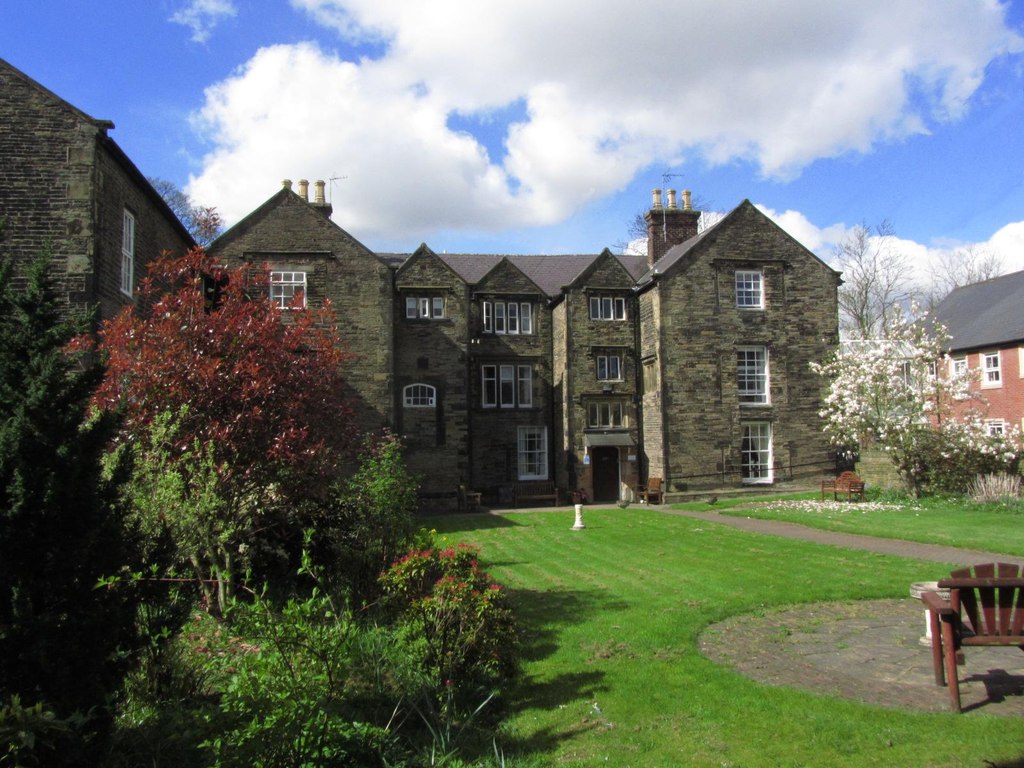
Birchley Hall, located in Lancashire, England, is a historic heritage site that holds great significance in the region. The hall, which dates back to the 16th century, is an architectural gem that showcases the rich history and cultural heritage of Lancashire.

This Grade II listed building is a prime example of Tudor architecture, characterized by its half-timbered construction and ornate detailing. The hall features a timber-framed structure with a symmetrical facade, adorned with decorative motifs and carvings. Its prominent bay windows offer stunning views of the surrounding countryside.

Originally built as a manor house, Birchley Hall has witnessed centuries of history. Over the years, it has served various purposes, including a residence for wealthy landowners and a venue for important social events. Today, it stands as a testament to Lancashire's past and serves as a heritage site for visitors to explore.

The interior of Birchley Hall is equally impressive, with many original features still intact. Visitors can admire the grand oak staircase, intricate plasterwork, and period furniture, which provide a glimpse into the opulent lifestyle of its former inhabitants.

Surrounded by beautifully landscaped gardens, Birchley Hall offers a tranquil setting for visitors to relax and soak in the historical ambiance. The gardens boast well-manicured lawns, vibrant flower beds, and a picturesque pond, creating a serene atmosphere that complements the grandeur of the hall.

Overall, Birchley Hall is a captivating heritage site that showcases Lancashire's architectural heritage and offers visitors a unique opportunity to step back in time and experience the grandeur of the past.

If you have any feedback on the listing, please let us know in the comments section below.

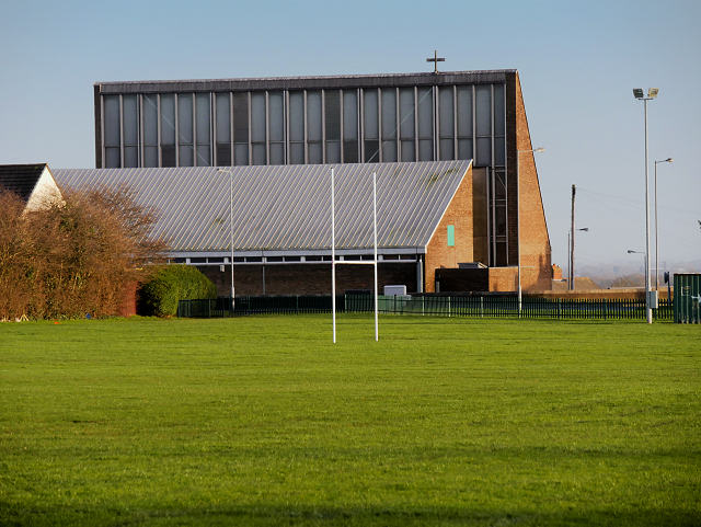
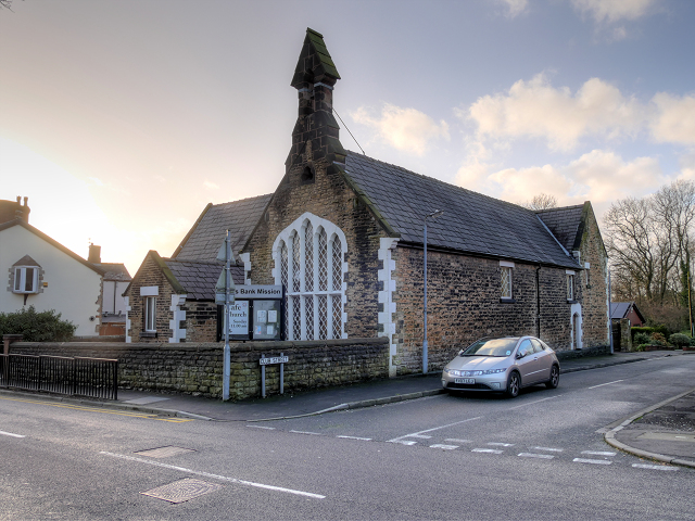
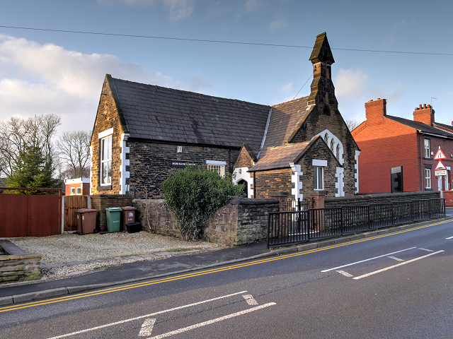
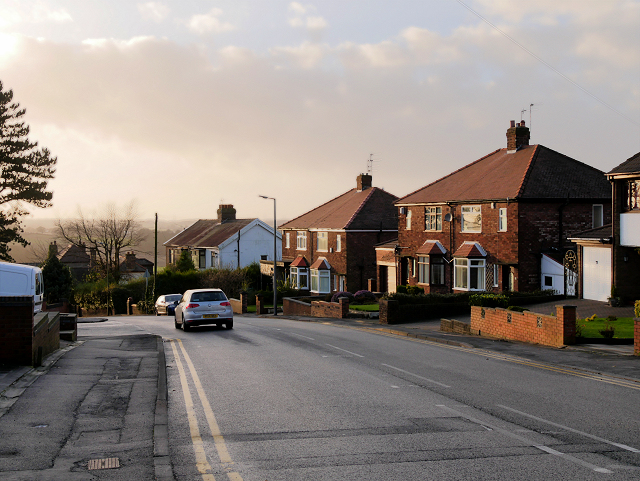
Birchley Hall Images

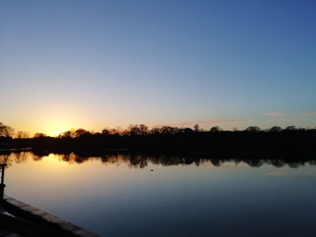
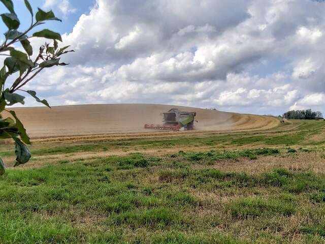
Images are sourced within 2km of 53.49/-2.717 or Grid Reference SJ5299. Thanks to Geograph Open Source API. All images are credited.

A Winter Sunset at Carr Mill Dam Sunset on over the southern end of Carr Mill Dam in January.
A Winter Sunset at Carr Mill Dam
Sunset on over the southern end of Carr Mill Dam in January.
Harvesting Barley in Billinge
Barley Straw After the barley harvest near Upholland Road
Barley Straw
After the barley harvest near Upholland Road
Harvest Time in Billinge
The nineteen arch bridge at Carr Mill Dam
View from a Liverpool-Wigan train - Overflow from Carr Mill Dam
House on the corner of Crank Hill
Crank and Kings Moss War Memorial New war memorial for Crank and Kings Moss, dedicated on 19 July 2015.
Crank and Kings Moss War Memorial
New war memorial for Crank and Kings Moss, dedicated on 19 July 2015.
Junction of Main Street and Carr Mill Road, Billinge
Holt Avenue, Billinge
The Approach to Clinkham Wood The path into Clinkham Wood from Lorton Avenue.
The Approach to Clinkham Wood
The path into Clinkham Wood from Lorton Avenue.
Path in Clinkham Wood There has been a wood at this site for several centuries. This wooded area is classified as a large urban clough woodland with a spring-fed stream and marshy areas. Tree cover is mostly old plantation of Oak, Sycamore and Ash, with occasional Birch in more acidic areas.

Part of the Mersey Forest, It is maintained as a joint initiative between the local authority and the Forestry/Countryside Commission.

(adapted from a nearby information board <a href="https://www.geograph.org.uk/photo/4802151">SJ5198 : Clinkham Wood Information Board</a>).
Path in Clinkham Wood
There has been a wood at this site for several centuries. This wooded area is classified as a large urban clough woodland with a spring-fed stream and marshy areas. Tree cover is mostly old plantation of Oak, Sycamore and Ash, with occasional Birch in more acidic areas. Part of the Mersey Forest, It is maintained as a joint initiative between the local authority and the Forestry/Countryside Commission. (adapted from a nearby information board SJ5198 : Clinkham Wood Information Board).
Clinkham Wood Information Board There has been a wood at this site for several centuries. This wooded area is classified as a large urban clough woodland with a spring-fed stream and marshy areas. Tree cover is mostly old plantation of Oak, Sycamore and Ash, with occasional Birch in more acidic areas.

Part of the Mersey Forest, It is maintained as a joint initiative between the local authority and the Forestry/Countryside Commission.

(adapted from a nearby information board <a href="https://www.geograph.org.uk/photo/4802151">SJ5198 : Clinkham Wood Information Board</a>).
Clinkham Wood Information Board
There has been a wood at this site for several centuries. This wooded area is classified as a large urban clough woodland with a spring-fed stream and marshy areas. Tree cover is mostly old plantation of Oak, Sycamore and Ash, with occasional Birch in more acidic areas. Part of the Mersey Forest, It is maintained as a joint initiative between the local authority and the Forestry/Countryside Commission. (adapted from a nearby information board SJ5198 : Clinkham Wood Information Board).
St Patrick's RC Church Clinkham Wood Seen here from across the playing fields, the church was built in 1964 to serve a new housing estate, part of the post-war northern expansion of St Helens.
St Patrick's RC Church Clinkham Wood
Seen here from across the playing fields, the church was built in 1964 to serve a new housing estate, part of the post-war northern expansion of St Helens.
Clinkham Wood Recreation Ground, Elliott's Field
Moss Bank Mission Situated at the corner of Club Street and Moss Bank Road, Moss Bank Mission is the former Moss Bank School which closed as a school in 1978.
Moss Bank Mission
Situated at the corner of Club Street and Moss Bank Road, Moss Bank Mission is the former Moss Bank School which closed as a school in 1978.
Moss Bank Mission, Clinkham Wood Situated at the corner of Club Street and Moss Bank Road, Moss Bank Mission is the former Moss Bank School which closed as a school in 1978.
Moss Bank Mission, Clinkham Wood
Situated at the corner of Club Street and Moss Bank Road, Moss Bank Mission is the former Moss Bank School which closed as a school in 1978.
Moss Bank Road, Clinkham Wood
Show me another place!

Birchley Hall is located at Grid Ref: SJ5299 (Lat: 53.49, Lng: -2.717)

Unitary Authority: St. Helens

Police Authority: Merseyside

What 3 Words

///strut.inclines.eaten. Near Billinge, Merseyside

Related Wikis

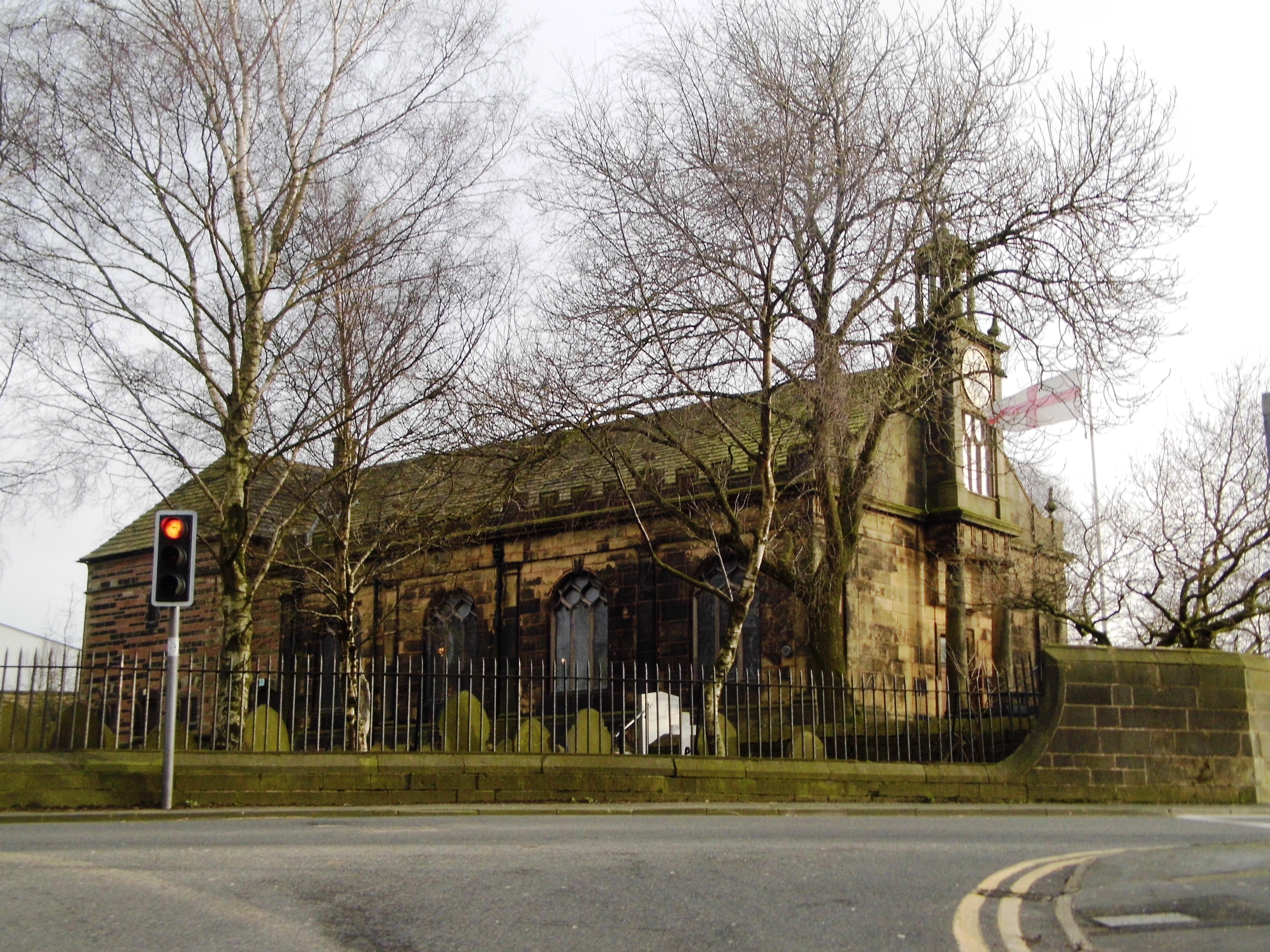
St Mary's Church, Billinge

St Mary's Church is an active Roman Catholic church along Birchley Road, Billinge, St Helens, Merseyside, England. Belonging to the archdiocese of Liverpool...

Birchley Hall

Birchley Hall is a grade II* listed Elizabethan house built in about 1594, in Billinge, Merseyside, England.Birchley Hall was bought by Christopher Anderton...

Billinge, Merseyside

Billinge is a village within the Metropolitan Borough of St Helens, Merseyside, England. It forms the larger part of the civil parish of Billinge Chapel...

St Helens North (UK Parliament constituency)

St. Helens North is a constituency created in 1983 represented in the House of Commons of the UK Parliament since 2015 by the Labour Party's Conor McGinn...

Crank Caverns

Crank Caverns is the common name of the remains of the Rainford Delph Quarry near Crank in St. Helens, Merseyside, England. It is a vast network of old...

St Aidan's Church, Billinge

St Aidan's Church is in Main Street, Billinge, St Helens, Merseyside, England. It is an active Anglican parish church in the diocese of Liverpool. It...
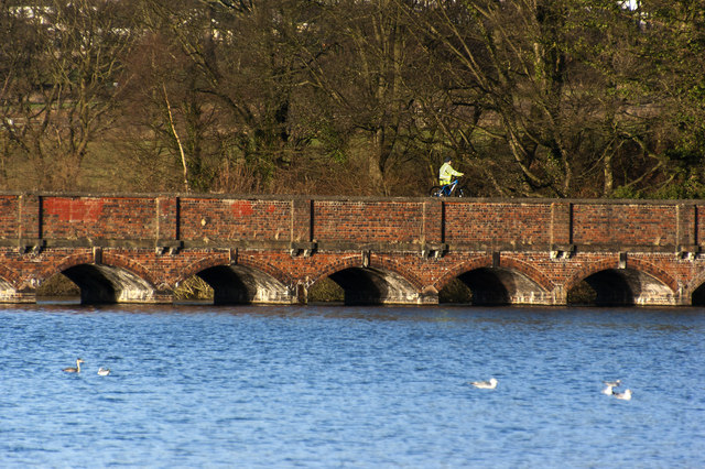
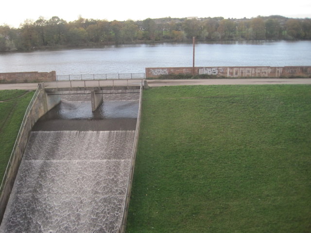
Carr Mill Dam

Carr Mill Dam is situated north of St Helens town centre, on the A571 (Carr Mill Road), in Merseyside. It is the county's largest body of inland water...

Billinge Hill

Billinge Hill, also known as Billinge Bump, is in the Metropolitan Borough of St Helens in North West England. With a maximum elevation of 179 m (587 ft...

Nearby Amenities

Located within 500m of 53.49,-2.717
Chadwick Green
Created By: Potlatch 0.4a
Is In: St Helens, Merseyside, England, UK
Place: hamlet
Source: npe
Lat/Long: 53.4873465/-2.7116046
Crossing
Button Operated: yes
Crossing: traffic_signals
Crossing Island: no
Crossing Ref: puffin
Kerb: lowered
Tactile Paving: yes
Lat/Long: 53.4916297/-2.7175022
Turning Circle
Lat/Long: 53.4930358/-2.7115823
Bus Stop
BIRCHLEY RD/TRENT RD
Bus: yes
Naptan AtcoCode: 2800S11013A
Naptan Bearing: NE
Naptan CommonName: BIRCHLEY RD/TRENT RD
Naptan Indicator: BIRCHLEY ROAD/TRENT ROAD
Naptan Landmark: SHELTER AT ANGLE PAST CHURCH
Naptan NaptanCode: meradjwt
Naptan Notes: No Notes
Naptan ShortCommonName: Birchley Road
Naptan Street: BIRCHLEY ROAD
Naptan Verified: no
Public Transport: platform
Source: naptan_import
Lat/Long: 53.4908737/-2.7193163
Bus Stop
BIRCHLEY RD
Bus: yes
Naptan AtcoCode: 2800S11013B
Naptan Bearing: NE
Naptan CommonName: BIRCHLEY RD
Naptan Indicator: BIRCHLEY ROAD
Naptan Landmark: O/S HOUSE 82
Naptan NaptanCode: meradmad
Naptan Notes: No Notes
Naptan ShortCommonName: Birchley Rd
Naptan Street: BIRCHLEY ROAD
Naptan Verified: no
Public Transport: platform
Source: naptan_import
Lat/Long: 53.4906528/-2.7201717
Bus Stop
BIRCHLEY RD/LILAC GROVE
Bus: yes
Naptan AtcoCode: 2800S11014A
Naptan Bearing: SW
Naptan CommonName: BIRCHLEY RD/LILAC GROVE
Naptan Indicator: BIRCHLEY ROAD/RAINFORD AVENUE
Naptan Landmark: LILAC GROVE OPP 36/38
Naptan NaptanCode: meradmag
Naptan Notes: No Notes
Naptan ShortCommonName: Birchley RC School
Naptan Street: BIRCHLEY ROAD
Naptan Verified: no
Public Transport: platform
Source: naptan_import
Lat/Long: 53.4925623/-2.715034
Bus Stop
BIRCHLEY RD/YOUTH & COMMUNITY CTRE
Bus: yes
Naptan AtcoCode: 2800S11014B
Naptan Bearing: NE
Naptan CommonName: BIRCHLEY RD/YOUTH & COMMUNITY CTRE
Naptan Indicator: BIRCHLEY ROAD/RAINFORD ROAD
Naptan Landmark: HOLT AVENUE O/S YOUTH & COMMUNITY CENTRE
Naptan NaptanCode: meradmaj
Naptan Notes: No Notes
Naptan ShortCommonName: Birchley RC School
Naptan Street: BIRCHLEY ROAD
Naptan Verified: no
Public Transport: platform
Source: naptan_import
Lat/Long: 53.4920684/-2.7164576
Crossing
Crossing: unmarked
Crossing Island: no
Tactile Paving: no
Lat/Long: 53.4898015/-2.7218726
Traffic Signals
Traffic Signals: crossing
Traffic Signals Direction: forward
Lat/Long: 53.4916145/-2.7175449
Traffic Signals
Traffic Signals: crossing
Traffic Signals Direction: backward
Lat/Long: 53.4916457/-2.7174545
The data included in this document is from www.openstreetmap.org. The data is made available under ODbL.

Have you been to Birchley Hall?

Leave your review of Birchley Hall below (or comments, questions and feedback).