Lime Vale
Settlement in Lancashire
England
Lime Vale
The requested URL returned error: 429 Too Many Requests
If you have any feedback on the listing, please let us know in the comments section below.
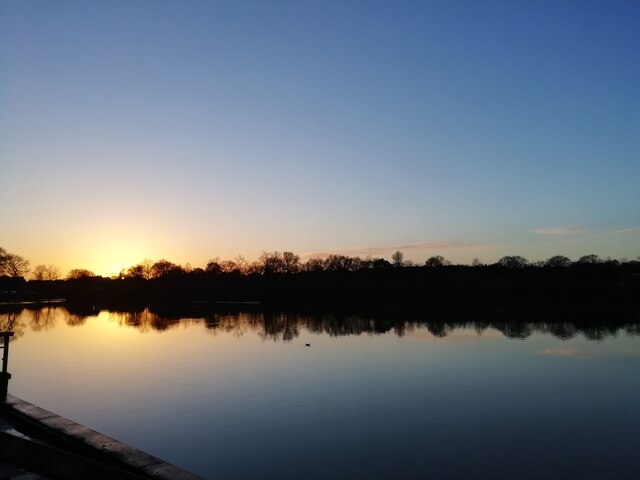
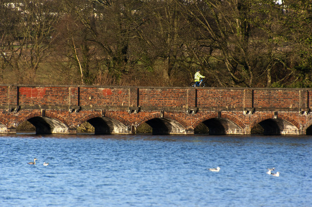
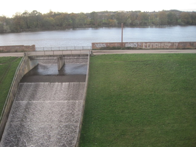
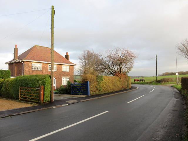
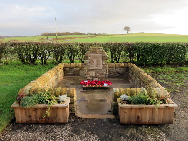
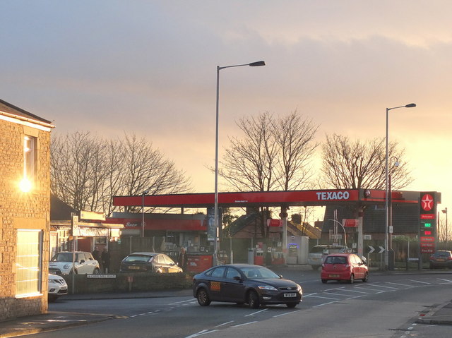
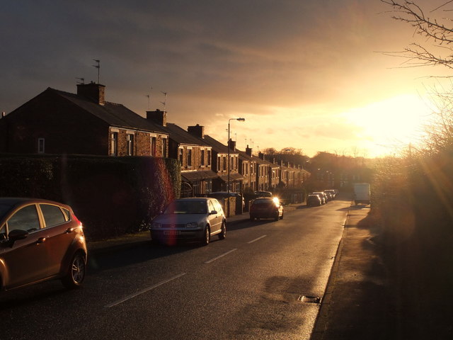
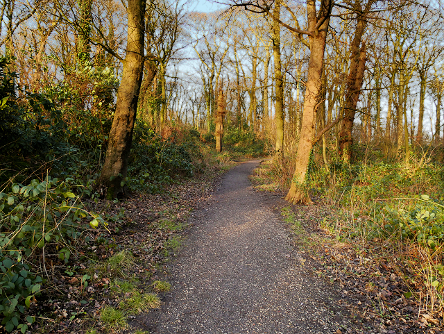
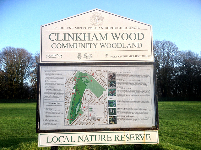
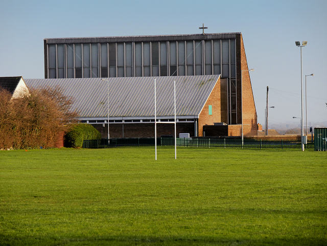
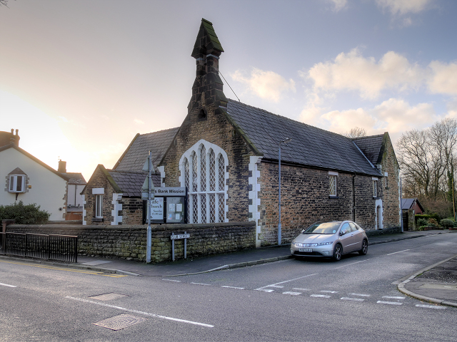
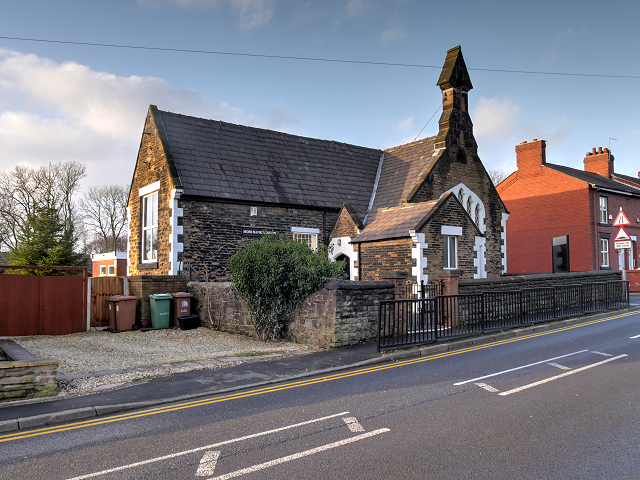
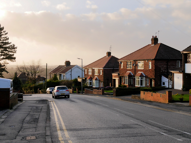
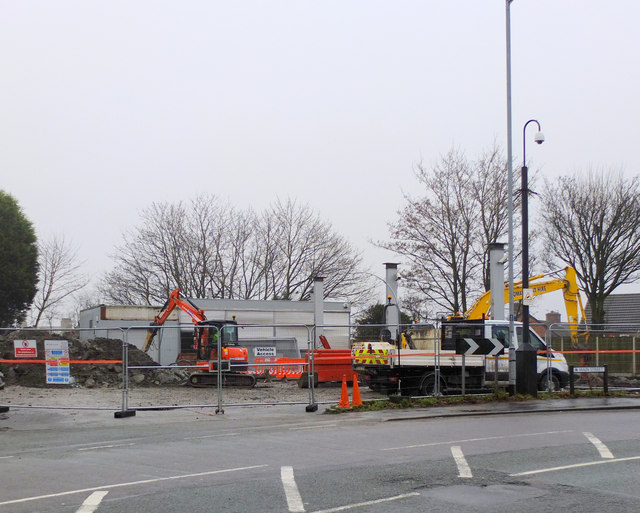
Lime Vale Images
Images are sourced within 2km of 53.487332/-2.720363 or Grid Reference SJ5299. Thanks to Geograph Open Source API. All images are credited.


Lime Vale is located at Grid Ref: SJ5299 (Lat: 53.487332, Lng: -2.720363)
Unitary Authority: St. Helens
Police Authority: Merseyside
What 3 Words
///supposed.lease.drumbeat. Near Billinge, Merseyside
Nearby Locations
Related Wikis

St Mary's Church, Billinge
St Mary's Church is an active Roman Catholic church along Birchley Road, Billinge, St Helens, Merseyside, England. Belonging to the archdiocese of Liverpool...

St Helens North (UK Parliament constituency)
St. Helens North is a constituency created in 1983 represented in the House of Commons of the UK Parliament since 2015 by the Labour Party's Conor McGinn...
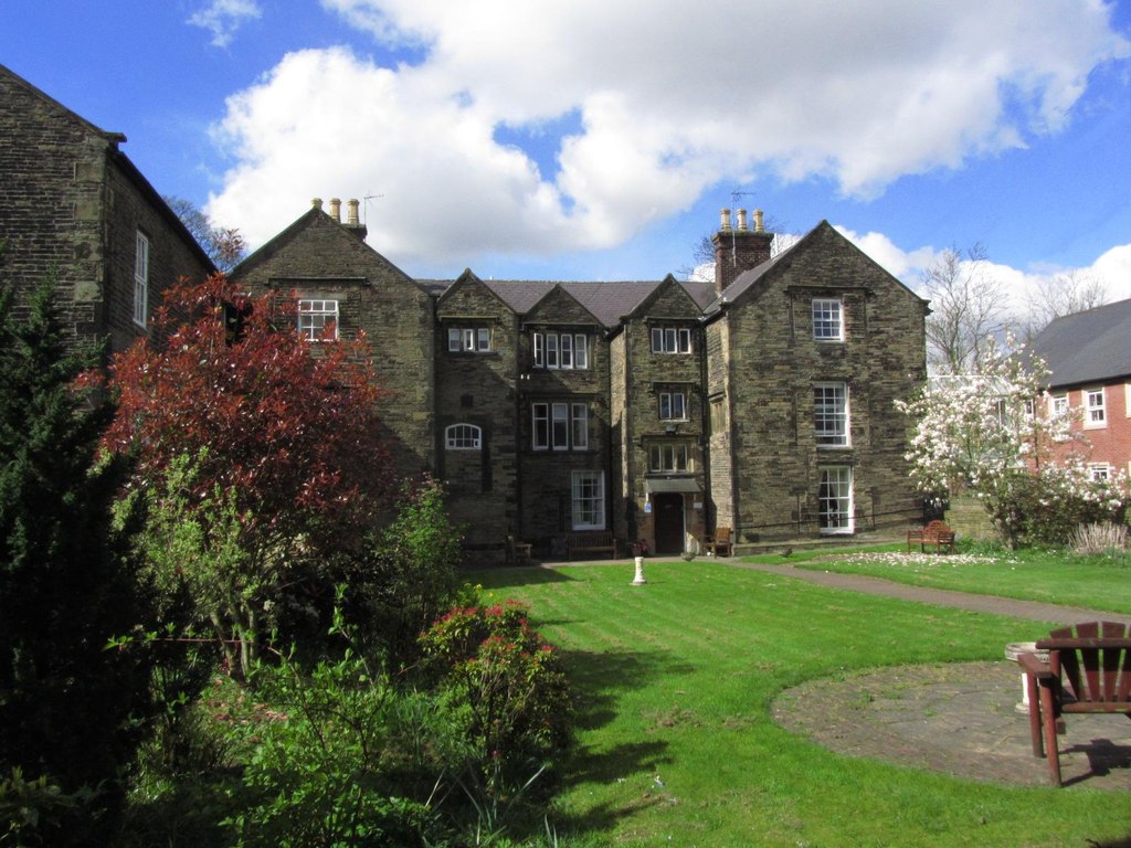
Birchley Hall
Birchley Hall is a grade II* listed Elizabethan house built in about 1594, in Billinge, Merseyside, England.Birchley Hall was bought by Christopher Anderton...
Billinge, Merseyside
Billinge is a village within the Metropolitan Borough of St Helens, Merseyside, England. It forms the larger part of the civil parish of Billinge Chapel...
Nearby Amenities
Located within 500m of 53.487332,-2.720363Have you been to Lime Vale?
Leave your review of Lime Vale below (or comments, questions and feedback).