Pencader
Settlement in Carmarthenshire
Wales
Pencader
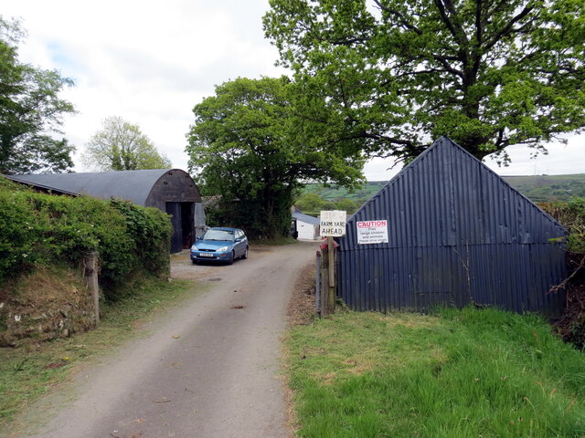
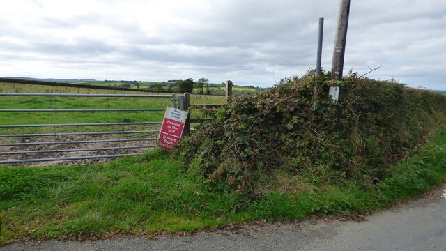
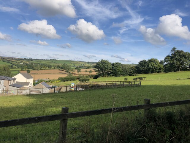
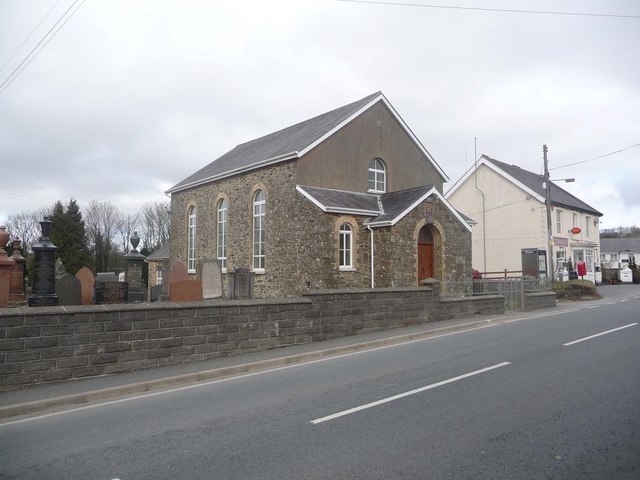
![Llwybr Aber-nawmor / Aber-nawmor path Llwybr troed cyhoeddus yn cyrraedd yr heol o gyfeiriad anhedd-dy o'r enw Aber-nawmor.
A public footpath joins the road from the direction of a property known as Aber-nawmor (trans. confluence of [river] Nawmor).](https://s2.geograph.org.uk/geophotos/07/36/51/7365130_a9aa0c9f.jpg)
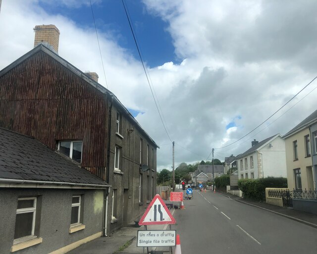
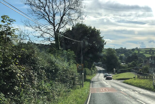
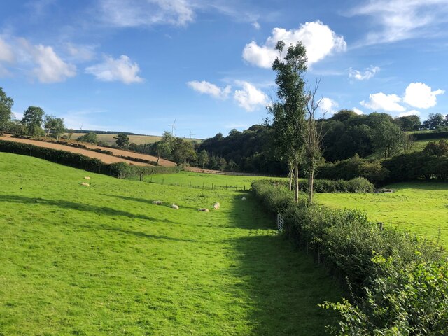
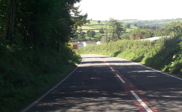
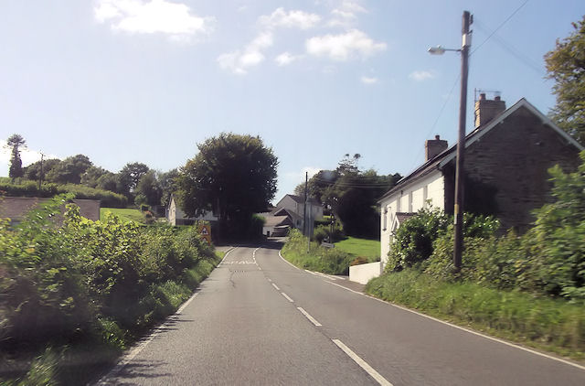
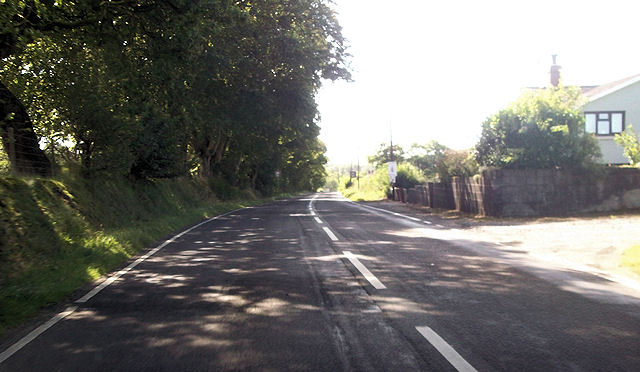
Pencader is a small village located in the county of Carmarthenshire, Wales. Situated in the Teifi Valley, it lies approximately 15 miles southeast of the county town of Carmarthen and 5 miles north of Llandysul. The village is surrounded by beautiful rolling hills and picturesque countryside, making it an ideal destination for nature lovers and outdoor enthusiasts.
Historically, Pencader has been an important settlement, dating back to Roman times. The remains of a Roman fort, known as Castell Dref, can still be seen in the area. The village played a significant role during the Norman invasion of Wales, with a castle being built in the 12th century by the Normans. Unfortunately, only a mound remains today, known as Pencader Castle Motte.
The village itself offers a range of amenities for its residents and visitors. There is a primary school, a post office, a convenience store, and a local pub, providing essential services to the community. Pencader is also home to a community hall, where various events and gatherings take place throughout the year.
One of the main attractions in Pencader is the nearby Dolaucothi Gold Mines, managed by the National Trust. These ancient mines offer guided tours, allowing visitors to explore the underground tunnels and learn about the rich mining history of the area.
In summary, Pencader is a charming village in Carmarthenshire, Wales, surrounded by stunning countryside and steeped in history. It offers a peaceful and scenic retreat for those seeking a rural getaway or a chance to delve into the region's past.
If you have any feedback on the listing, please let us know in the comments section below.
Pencader Images
Images are sourced within 2km of 51.999277/-4.263692 or Grid Reference SN4435. Thanks to Geograph Open Source API. All images are credited.

Pencader is located at Grid Ref: SN4435 (Lat: 51.999277, Lng: -4.263692)
Unitary Authority: Carmarthenshire
Police Authority: Dyfed Powys
What 3 Words
///initiated.callers.interview. Near Pencader, Carmarthenshire
Nearby Locations
Related Wikis

Pencader, Carmarthenshire
Pencader () is a small village in Carmarthenshire, Wales , in the community of Llanfihangel-ar-Arth. It is located around 3 miles (5 km) south-east of...

Pencader railway station
Pencader railway station served the village of Pencader, Carmarthenshire, Wales, from 1864 to 1965 on the Carmarthen and Cardigan Railway. == History... ==
Pencader Junction railway station
Pencader Junction railway station served the village of Pencader, Carmarthenshire, Wales, from 1866 to 1880 on the Manchester and Milford Railway. ��2...
Gwyddgrug
Gwyddgrug is a small village in Carmarthenshire, West Wales. It is located on the main A485 road south of New Inn. == References ==
Dolgran
Dolgran is a small hamlet located in a narrow, steep-sided valley approximately one and a half miles to the south west of Pencader, Carmarthenshire, Wales...

New Inn, Carmarthenshire
New Inn is a small village located in Carmarthenshire, Wales with a population of 348. It is situated along the A485 A road between Llanllwni and Gwyddgrug...
Alltwalis Wind Farm
The Alltwalis Wind Farm is a wind farm near Brechfa Forest located to the north of the town of Carmarthen in Wales. The facility is composed of 10 wind...

Pencader Tunnel
Pencader Tunnel is an abandoned railway tunnel on the old trackbed of the Carmarthen to Aberystwyth main line in south-west Wales. It was originally bored...
Nearby Amenities
Located within 500m of 51.999277,-4.263692Have you been to Pencader?
Leave your review of Pencader below (or comments, questions and feedback).