Pen-cae
Settlement in Cardiganshire
Wales
Pen-cae
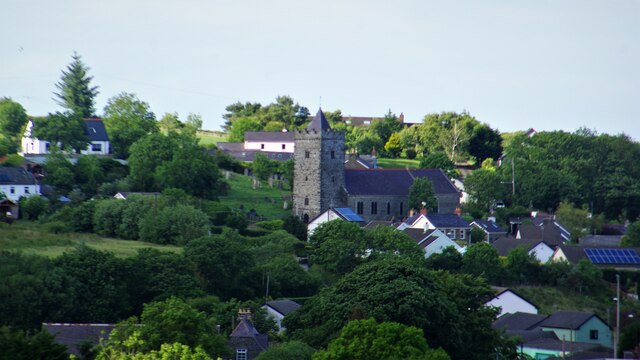
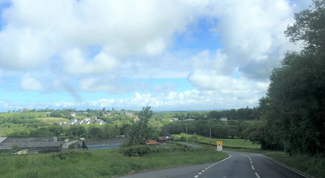
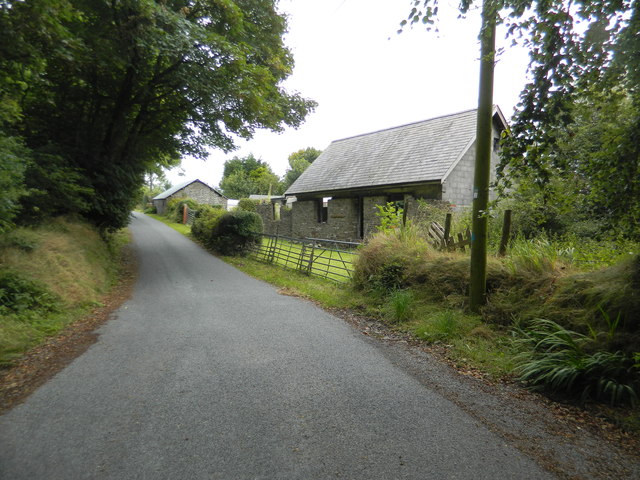
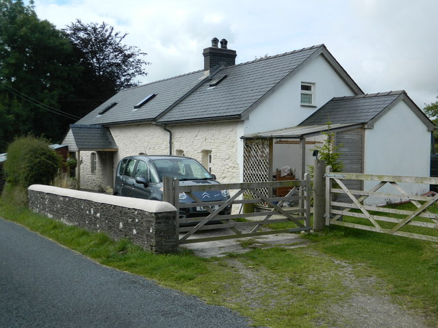
Pen-cae is a small village located in the county of Cardiganshire, Wales. Situated in the picturesque countryside, it is surrounded by rolling hills and lush green fields, offering residents and visitors a tranquil and scenic environment.
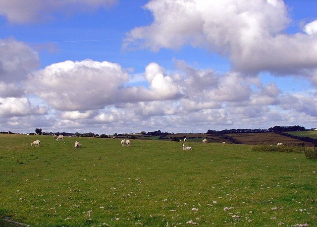
The village is home to a close-knit community, with a population of approximately 300 residents. The local economy is primarily based on agriculture, with many villagers engaged in farming and livestock rearing. As a result, Pen-cae boasts a rural charm and a sense of authenticity.
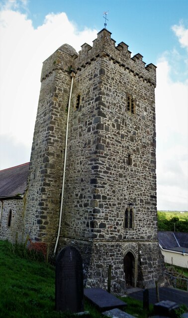
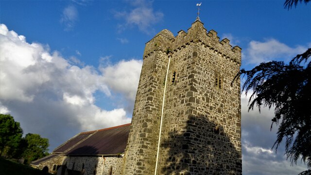
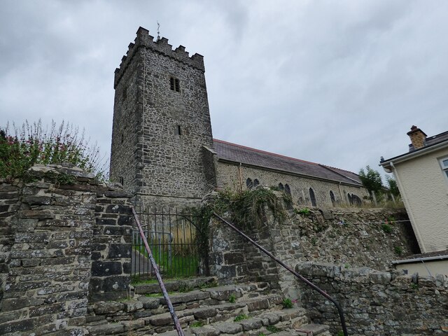
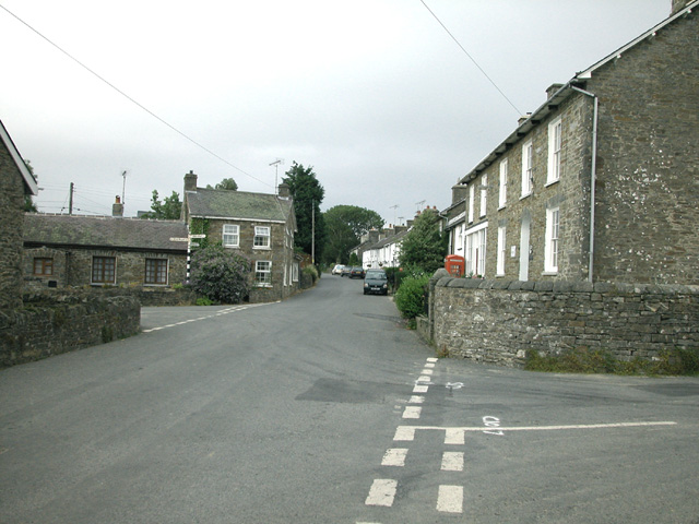
The village is characterized by its traditional Welsh architecture, with a cluster of stone cottages and farmhouses dotting the landscape. The nearby Pen-cae Church, a historic place of worship, adds to the village's cultural significance.
Despite its small size, Pen-cae offers its residents a range of amenities. These include a local pub, which serves as a social hub for the community, and a village hall that hosts various events and activities throughout the year. The village also has a primary school, ensuring that the younger generation has access to education within their own community.
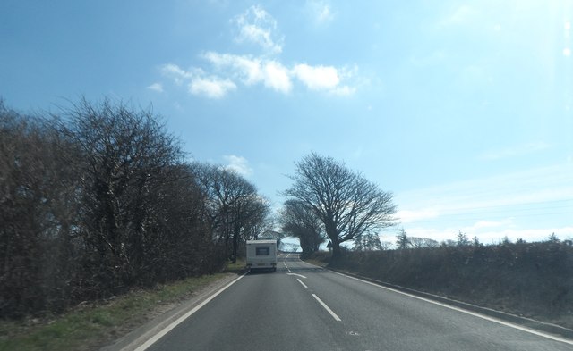
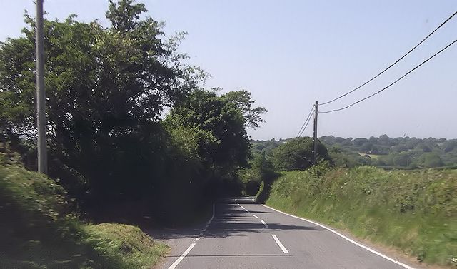
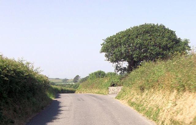
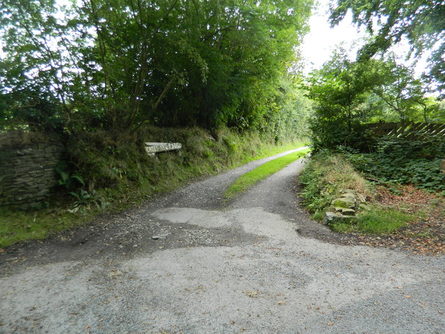
Nature lovers are drawn to Pen-cae for its stunning natural surroundings. The village is a gateway to the beautiful Cardiganshire countryside, with numerous walking paths and hiking trails crisscrossing the region. Visitors can enjoy breathtaking views, observe local wildlife, and immerse themselves in the tranquility of the Welsh countryside.
In conclusion, Pen-cae is a charming village in Cardiganshire, Wales, offering residents and visitors a peaceful rural lifestyle surrounded by natural beauty.
If you have any feedback on the listing, please let us know in the comments section below.
Pen-cae Images
Images are sourced within 2km of 52.184436/-4.296055 or Grid Reference SN4356. Thanks to Geograph Open Source API. All images are credited.


Pen-cae is located at Grid Ref: SN4356 (Lat: 52.184436, Lng: -4.296055)
Unitary Authority: Ceredigion
Police Authority: Dyfed Powys
What 3 Words
///prepped.dial.slowness. Near Llanarth, Ceredigion
Nearby Locations
Related Wikis

Pen-cae
Pencae is a village in the community of Llanarth, Ceredigion, Wales, which is 68.2 miles (109.8 km) from Cardiff and 184 miles (296 km) from London. Pencae...
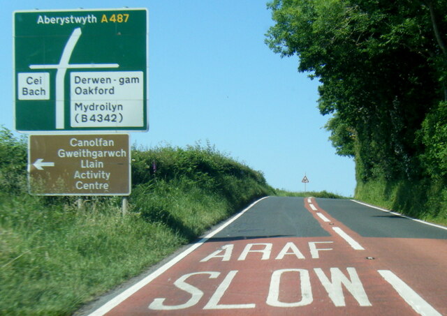
Llanarth, Ceredigion
Llanarth is both a small village and a community in Ceredigion, Wales. It is on the A487 road and is about 3 miles (4.8 km) from both Aberaeron and New...
Oakford, Ceredigion
Oakford (Welsh Derwen Gam) is a hamlet in the Welsh county of Ceredigion. It is some 5 miles (8 km) south of the coastal town of Aberaeron. == External... ==

Mydroilyn
Mydroilyn is a village in the parish of Llanarth, Ceredigion, Wales, situated along the B4342 road. The name of the village is derived from the confluence...
Llaingarreglwyd
Llaingarreglwyd is a hamlet in the community of Llanarth, Ceredigion, Wales, which is 70 miles (112.6 km) from Cardiff and 185.3 miles (298.1 km) from...
Gilfachrheda
Gilfachrheda or Gilfachreda is a village in the community of Llanarth, Ceredigion, Wales, at the confluence of two small rivers, the Afon Gido and the...
Rhyd-y-Beillen
Rhyd-y-Beillen is a hamlet in the community of Llanarth, Ceredigion, Wales, which is 68.5 miles (110.2 km) from Cardiff and 185.1 miles (297.9 km) from...

Llwyncelyn, Ceredigion
Lwyncelyn is a village in Ceredigion, Wales, situated on the A487 trunk road approximately 2.7 mi (4.3 km) southwest of the town of Aberaeron and 2 mi...
Nearby Amenities
Located within 500m of 52.184436,-4.296055Have you been to Pen-cae?
Leave your review of Pen-cae below (or comments, questions and feedback).