Allt Cwm-hwplyn
Wood, Forest in Carmarthenshire
Wales
Allt Cwm-hwplyn
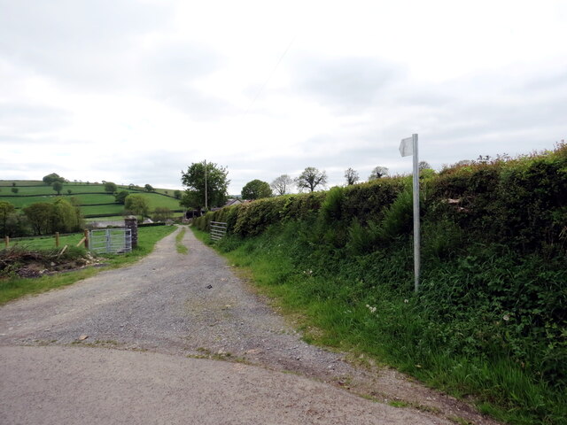
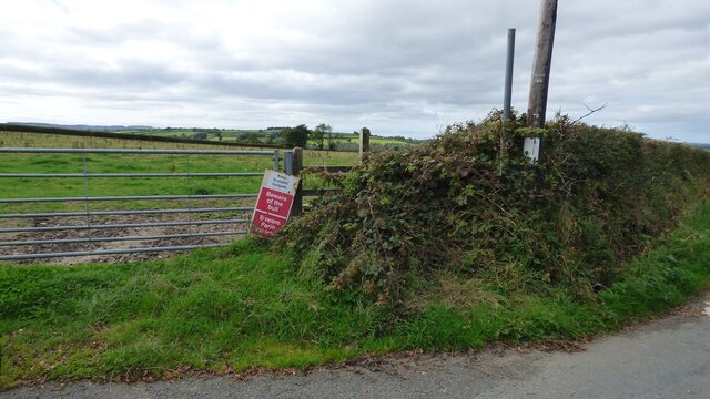
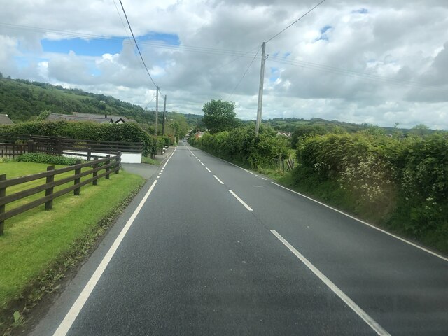
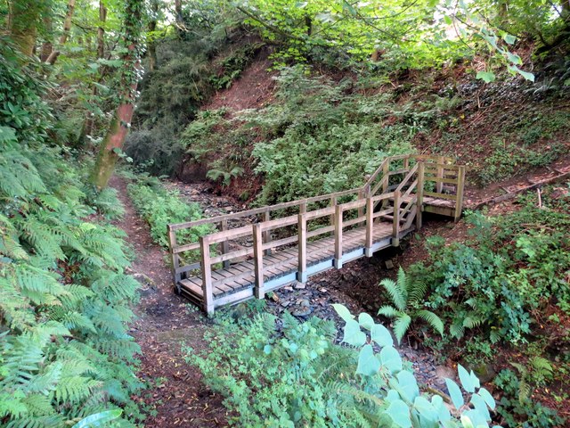
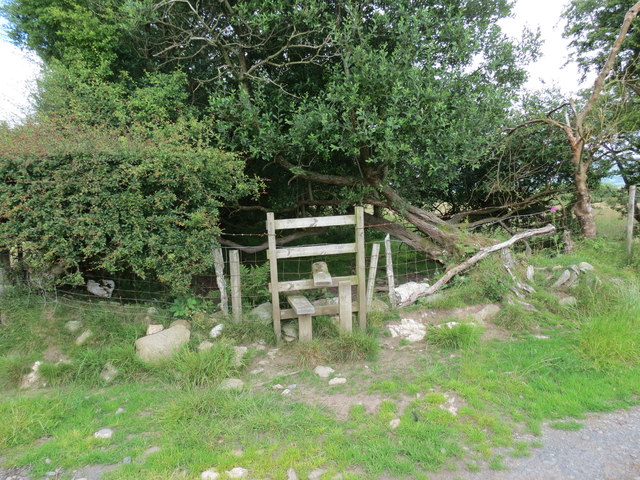
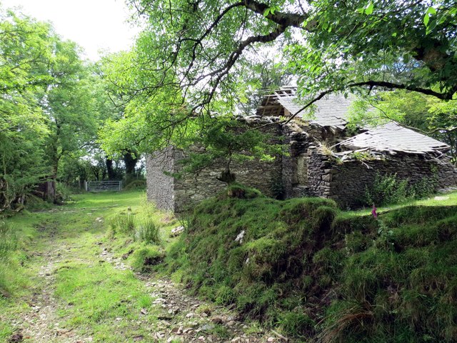
Allt Cwm-hwplyn is a picturesque woodland located in Carmarthenshire, Wales. The name translates to "Wood, Forest" in English, which is a fitting description for this natural wonder. The woodland covers a vast area and is known for its breathtaking beauty and diverse range of flora and fauna.
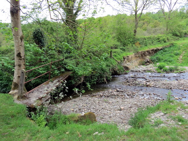
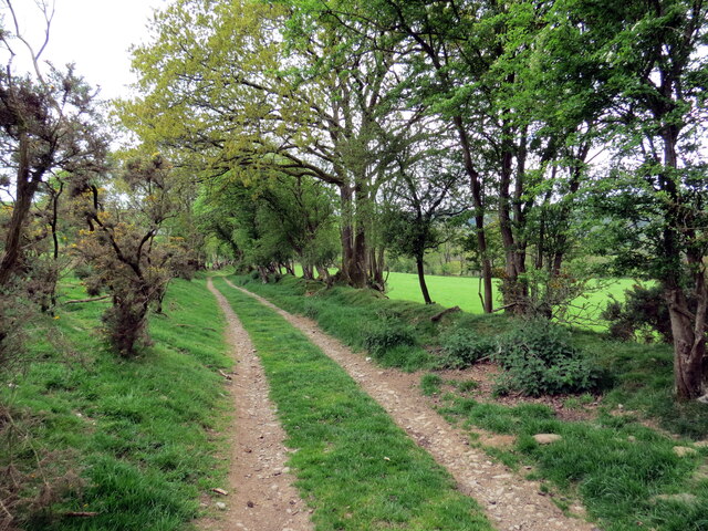
The woodland is a haven for nature enthusiasts and offers numerous opportunities for outdoor activities such as hiking, birdwatching, and photography. It is home to a variety of tree species including oak, beech, and ash, which create a rich and vibrant canopy that changes with the seasons. The forest floor is covered in a lush carpet of moss and ferns, adding to its enchanting atmosphere.
Wildlife thrives in Allt Cwm-hwplyn, with many species calling it their home. Visitors may spot deer, badgers, and foxes roaming freely, while a plethora of bird species, including owls and woodpeckers, can be observed perched on branches or soaring through the sky. The woodland is also teeming with smaller creatures like squirrels, rabbits, and various insects.
The woodland is easily accessible, with well-maintained trails and paths that lead visitors through its stunning landscapes. The tranquil ambiance of Allt Cwm-hwplyn makes it a popular destination for those seeking solace and a break from the hustle and bustle of daily life.
Whether exploring its hidden corners, enjoying a picnic surrounded by nature, or simply taking in the beauty, Allt Cwm-hwplyn offers a truly immersive experience in the heart of Carmarthenshire's natural wonders.
If you have any feedback on the listing, please let us know in the comments section below.
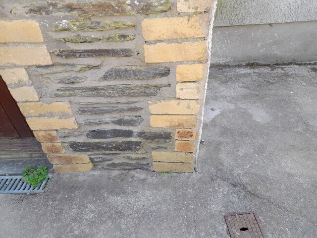
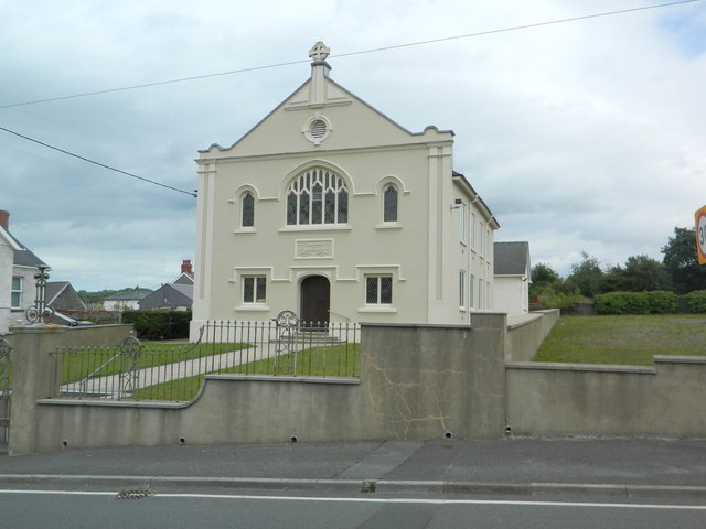
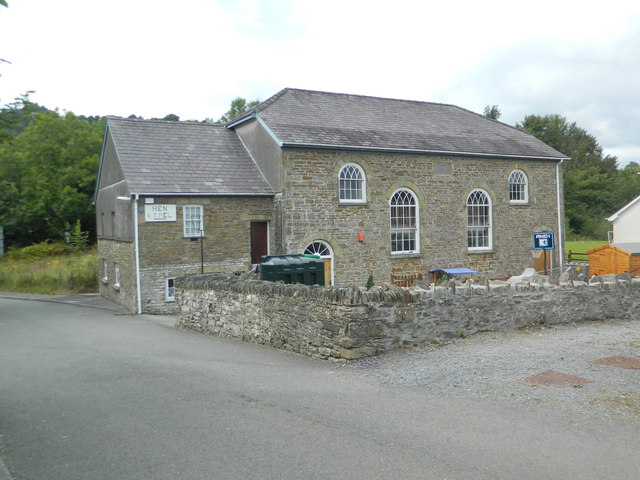
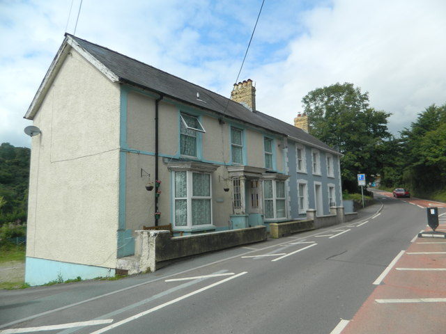
Allt Cwm-hwplyn Images
Images are sourced within 2km of 51.999961/-4.2715036 or Grid Reference SN4435. Thanks to Geograph Open Source API. All images are credited.


Allt Cwm-hwplyn is located at Grid Ref: SN4435 (Lat: 51.999961, Lng: -4.2715036)
Unitary Authority: Carmarthenshire
Police Authority: Dyfed Powys
What 3 Words
///width.admires.return. Near Pencader, Carmarthenshire
Nearby Locations
Related Wikis

Pencader railway station
Pencader railway station served the village of Pencader, Carmarthenshire, Wales, from 1864 to 1965 on the Carmarthen and Cardigan Railway. == History... ==

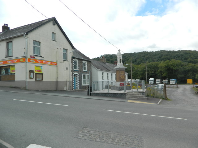
Pencader, Carmarthenshire
Pencader () is a small village in Carmarthenshire, Wales , in the community of Llanfihangel-ar-Arth. It is located around 3 miles (5 km) south-east of...
Pencader Junction railway station
Pencader Junction railway station served the village of Pencader, Carmarthenshire, Wales, from 1866 to 1880 on the Manchester and Milford Railway. ��2...
Dolgran
Dolgran is a small hamlet located in a narrow, steep-sided valley approximately one and a half miles to the south west of Pencader, Carmarthenshire, Wales...
Gwyddgrug
Gwyddgrug is a small village in Carmarthenshire, West Wales. It is located on the main A485 road south of New Inn. == References ==

Pencader Tunnel
Pencader Tunnel is an abandoned railway tunnel on the old trackbed of the Carmarthen to Aberystwyth main line in south-west Wales. It was originally bored...

New Inn, Carmarthenshire
New Inn is a small village located in Carmarthenshire, Wales with a population of 348. It is situated along the A485 A road between Llanllwni and Gwyddgrug...
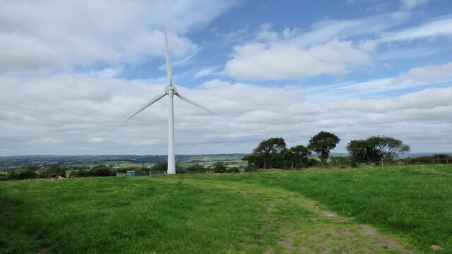
Alltwalis Wind Farm
The Alltwalis Wind Farm is a wind farm near Brechfa Forest located to the north of the town of Carmarthen in Wales. The facility is composed of 10 wind...
Nearby Amenities
Located within 500m of 51.999961,-4.2715036Have you been to Allt Cwm-hwplyn?
Leave your review of Allt Cwm-hwplyn below (or comments, questions and feedback).