Paramoor

Settlement in Cornwall

England

Paramoor

Ventonwyn Mine The engine house of this small mine perched on its hilltop, making it a local landmark that can be seen from miles around. The mine was worked in the 19th century, mainly for tin. In the later years of the 19th century it was incorporated into the Great Dowgas mine and finally closed down in about 1910. The shaft that this engine served was about 350 feet deep. There is a well known contemporary photograph of a group of miners posing in front of the engine house in the late 19th century.
Ventonwyn Mine Credit: Alan Hunt

Paramoor is a picturesque village nestled on the north coast of Cornwall, England. Located just a few miles from the popular tourist destination of Newquay, Paramoor offers a peaceful and idyllic retreat for visitors seeking a more tranquil experience.

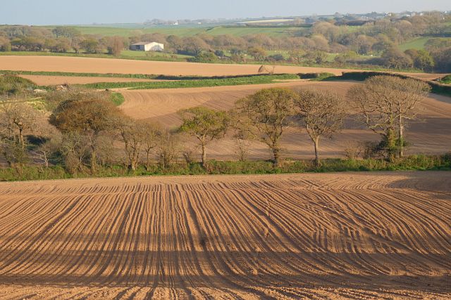
Surrounded by lush green countryside, the village boasts stunning views of the Atlantic Ocean. Its rugged coastline is dotted with hidden coves and sandy beaches, perfect for exploring or enjoying a day of sunbathing and swimming. The area is also a haven for surfers, with its consistent waves attracting enthusiasts from all over the world.

The village itself is small but charming, with a handful of traditional stone cottages and a quaint church that dates back centuries. The narrow streets are lined with colorful flowers and there is a sense of tranquility that permeates the air. The locals are friendly and welcoming, often happy to share their knowledge of the area and recommend the best spots to visit.

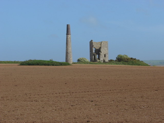
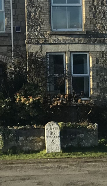
For those interested in history, Paramoor offers a glimpse into its past through its ancient ruins and historical landmarks. The nearby Paramoor Castle, a medieval fortress with stunning architecture, is a must-visit for history buffs.

Overall, Paramoor is a hidden gem in Cornwall, offering a serene and picturesque setting for those seeking a peaceful getaway. Its natural beauty, friendly locals, and rich history make it a destination worth exploring.

If you have any feedback on the listing, please let us know in the comments section below.
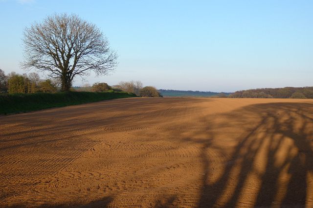
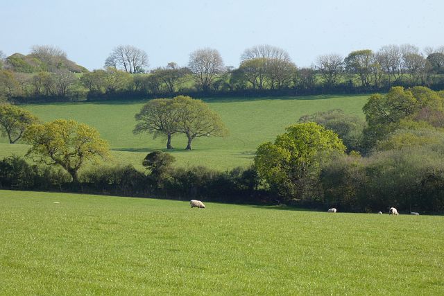
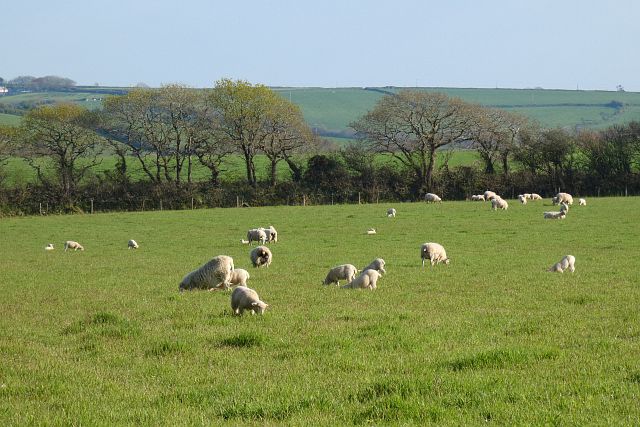
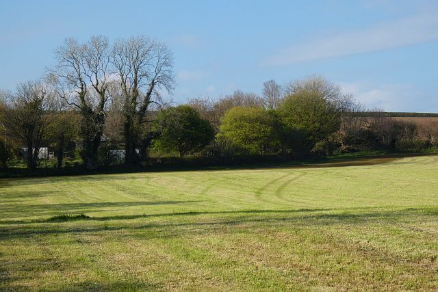
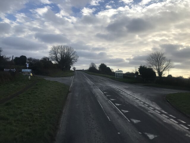
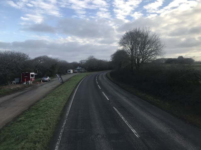
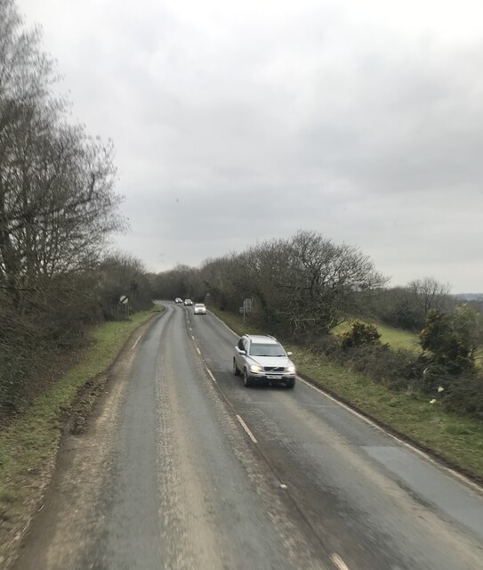
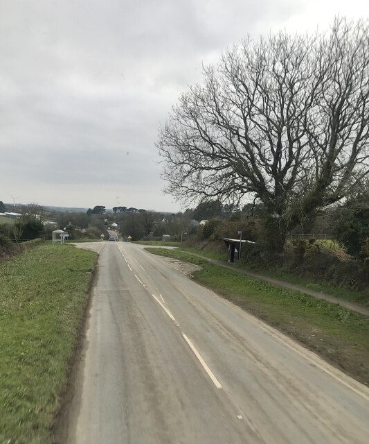
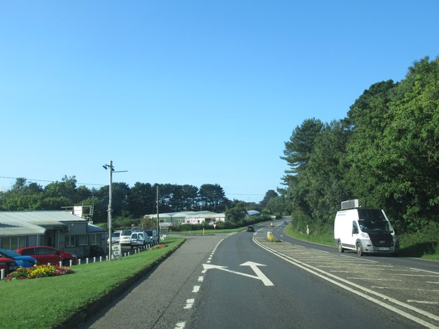
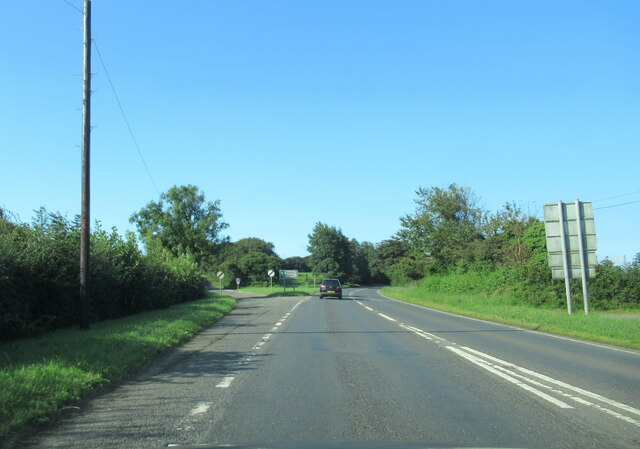
Paramoor Images

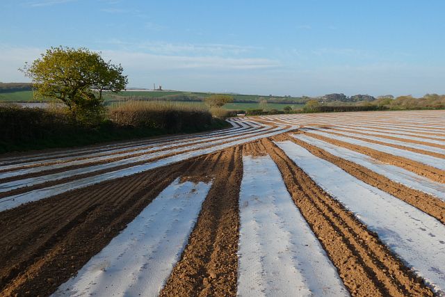
Images are sourced within 2km of 50.309152/-4.846109 or Grid Reference SW9749. Thanks to Geograph Open Source API. All images are credited.

Ventonwyn Mine The engine house of this small mine perched on its hilltop, making it a local landmark that can be seen from miles around. The mine was worked in the 19th century, mainly for tin. In the later years of the 19th century it was incorporated into the Great Dowgas mine and finally closed down in about 1910. The shaft that this engine served was about 350 feet deep. There is a well known contemporary photograph of a group of miners posing in front of the engine house in the late 19th century.
Ventonwyn Mine
The engine house of this small mine perched on its hilltop, making it a local landmark that can be seen from miles around. The mine was worked in the 19th century, mainly for tin. In the later years of the 19th century it was incorporated into the Great Dowgas mine and finally closed down in about 1910. The shaft that this engine served was about 350 feet deep. There is a well known contemporary photograph of a group of miners posing in front of the engine house in the late 19th century.
Overbridge in the cutting A390 west of Sticker
Overbridge in the cutting
A390 west of Sticker
Farmland, Creed With plastic for protection and Ventonwyn Mine seen in the distance.
Farmland, Creed
With plastic for protection and Ventonwyn Mine seen in the distance.
Farmland, Creed Recently cultivated land seen from the footpath at Pengelly.
Farmland, Creed
Recently cultivated land seen from the footpath at Pengelly.
Farmland, St Ewe Recently cultivated land to the east of the road at Hewas Farm.
Farmland, St Ewe
Recently cultivated land to the east of the road at Hewas Farm.
Pasture, St Ewe Fields to east of Luney Barton.
Pasture, St Ewe
Fields to east of Luney Barton.
Pasture, St Ewe Ewes and lambs to the west of Trudgian Farm.
Pasture, St Ewe
Ewes and lambs to the west of Trudgian Farm.
Farmland, St Ewe Like many in the area at the time, a recently cut silage field at Bosue.
Farmland, St Ewe
Like many in the area at the time, a recently cut silage field at Bosue.
Milestone
Milestone
A390 southwest of Hewas Water
Fore Street approaching Hewas Water
Welcome to Sticker
Welcome to Sticker
Crossroads
Crossroads
Hewaswater  lay-by on A390
Hewaswater lay-by on A390
A390 West of Hewas Water
Glenleigh Park bus stop
The A390 passing Hewas Water
The A390 at junction with B3287
Show me another place!

Paramoor is located at Grid Ref: SW9749 (Lat: 50.309152, Lng: -4.846109)

Unitary Authority: Cornwall

Police Authority: Devon and Cornwall

What 3 Words

///trash.dumplings.heavy. Near St Stephen, Cornwall

Nearby Locations

Paramoor Lower Sticker

Related Wikis

Paramoor

Paramoor is a hamlet near St Mewan in Cornwall, England. Paramoor is southwest of Sticker and Paramoor Wood is nearby. == References ==
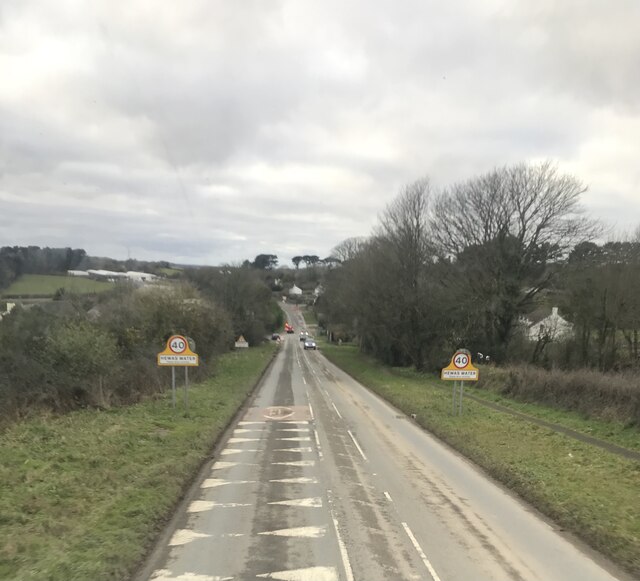
Hewas Water

Hewas Water is a hamlet in mid Cornwall, England, UK. It is off the A390 road near Sticker and about 3 miles (5 km) west southwest of St Austell. It is...
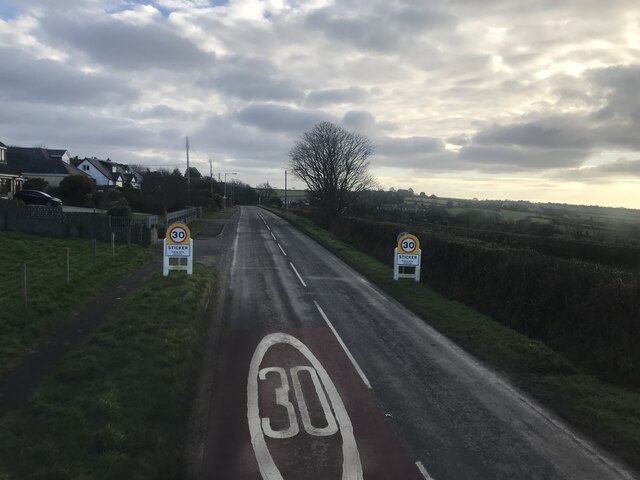
Sticker, Cornwall

Sticker (Cornish: Stekyer) is a former mining village in south Cornwall, England, United Kingdom. It lies in the parish of St Mewan. The nearest town is...

Sticker A.F.C.

Sticker Association Football Club is a football club based in Sticker, Cornwall. They are currently members of the South West Peninsula League Premier...

Nearby Amenities

Located within 500m of 50.309152,-4.846109
Paramoor
Is In County: Cornwall
Place: hamlet
Source: OS_OpenData_StreetView
Wikidata: Q7135278
Lat/Long: 50.3085833/-4.847955
Post Box
Brand: Royal Mail
Brand Wikidata: Q638098
Brand Wikipedia: en:Royal Mail
Collection Times: Mo-Fr 09:00; Sa 07:00; Su off
Operator: Royal Mail
Operator Wikidata: Q638098
Post Box Mounting: pier
Post Box Type: lamp
Ref: PL26 201D
Royal Cypher: EIIR
Royal Cypher Wikidata: Q33102113
Source: survey;streetlevel imagery;aerial imagery
Lat/Long: 50.312098/-4.8430513
Man Made: water_tap
Lat/Long: 50.3110815/-4.842747
Man Made: water_tap
Lat/Long: 50.3099137/-4.8423418
Playground: swing
Lat/Long: 50.3114393/-4.84219
The data included in this document is from www.openstreetmap.org. The data is made available under ODbL.

Have you been to Paramoor?

Leave your review of Paramoor below (or comments, questions and feedback).