Paradwys

Settlement in Anglesey

Wales

Paradwys

Northern Lights The Northern Lights (Aurora Borealis) over Paradwys, Ynys Môn.
Northern Lights Credit: Stephen Elwyn RODDICK

Paradwys is a small village located on the picturesque Isle of Anglesey in North Wales. Surrounded by stunning natural beauty, the village is situated on the western coast of the island, offering breathtaking views of the Irish Sea. With a population of around 300 residents, Paradwys is a close-knit community that exudes a tranquil and friendly atmosphere.

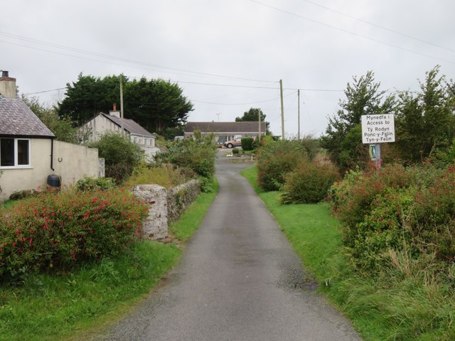
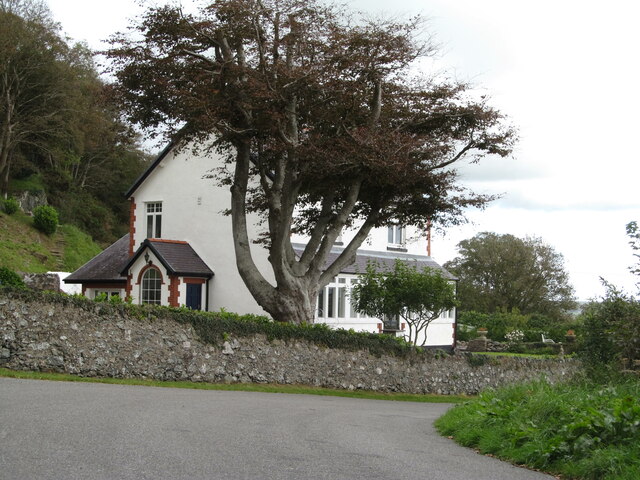
The village is known for its charming traditional Welsh cottages, many of which date back several centuries. These quaint buildings add to the village's old-world charm and attract visitors who appreciate the rich history and cultural heritage of the area.

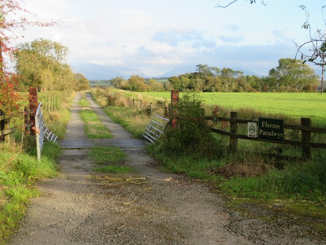
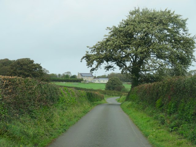
Paradwys is an ideal destination for nature lovers and outdoor enthusiasts. The nearby coastal paths and rolling hills provide ample opportunities for hiking, cycling, and birdwatching. The village is also home to a beautiful sandy beach, perfect for leisurely walks or picnics on a sunny day.

In terms of amenities, Paradwys offers a local pub, a convenience store, and a post office, ensuring that residents and visitors have access to essential services. The village is conveniently located within a short driving distance of larger towns on the island, such as Holyhead and Llangefni, where additional amenities can be found.

Overall, Paradwys is a peaceful and idyllic village that offers a retreat from the hustle and bustle of city life. Its natural beauty, historic architecture, and welcoming community make it a hidden gem on the Isle of Anglesey.

If you have any feedback on the listing, please let us know in the comments section below.
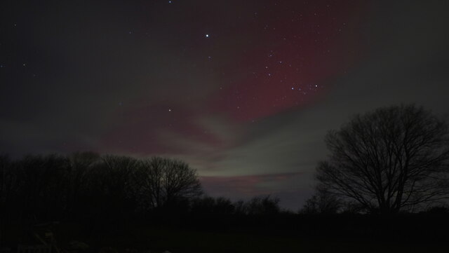
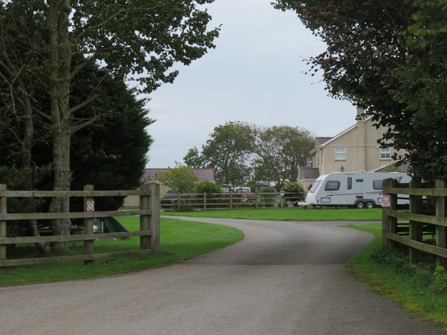
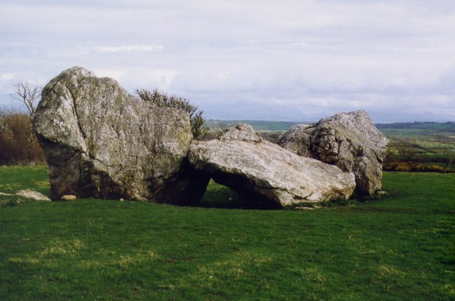
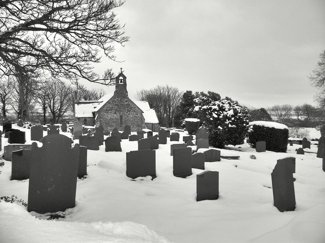
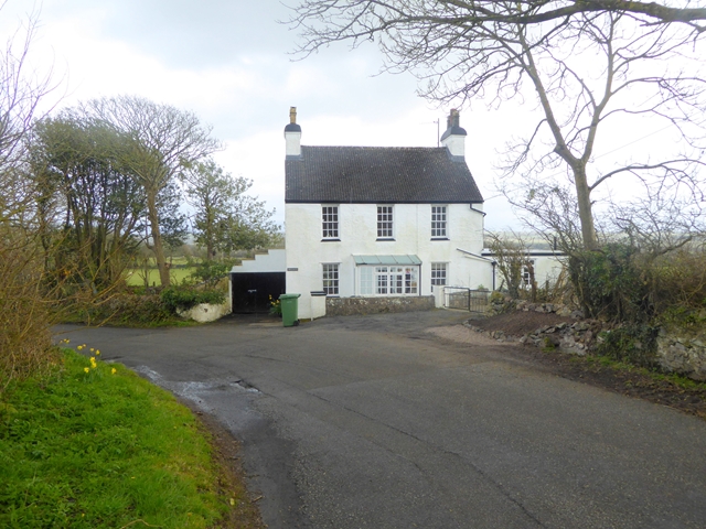
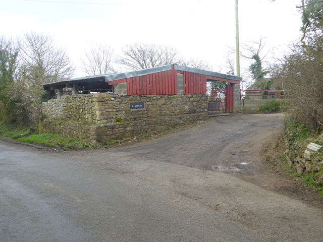
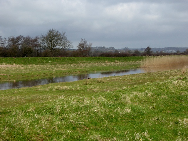
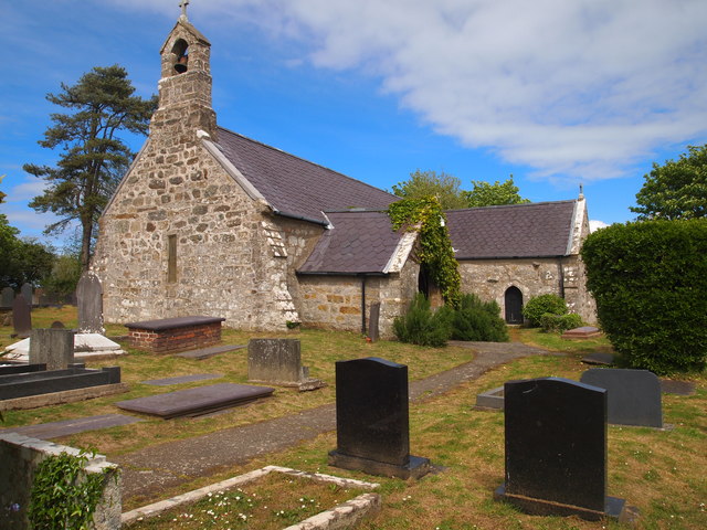
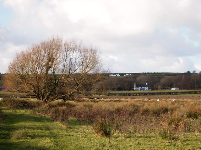
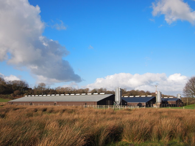
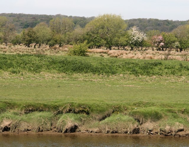
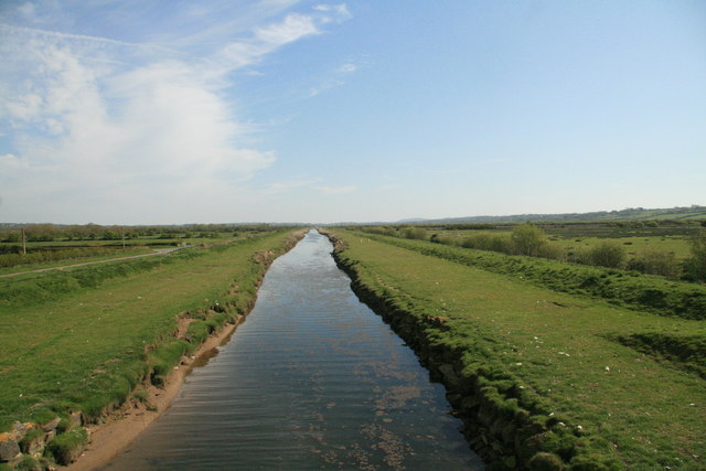
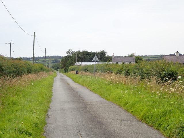
Paradwys Images

Images are sourced within 2km of 53.216233/-4.365107 or Grid Reference SH4271. Thanks to Geograph Open Source API. All images are credited.

Northern Lights The Northern Lights (Aurora Borealis) over Paradwys, Ynys Môn.
Northern Lights
The Northern Lights (Aurora Borealis) over Paradwys, Ynys Môn.
Aurora Borealis The Northern Lights (Aurora Borealis) over Paradwys, Ynys Mon, just after midnight, with the sky starting to cloud over.
Aurora Borealis
The Northern Lights (Aurora Borealis) over Paradwys, Ynys Mon, just after midnight, with the sky starting to cloud over.
Farm track, Paradwys One of two access tracks for Fferam Paradwys. The mainland mountains are just visible on the horizon.
Farm track, Paradwys
One of two access tracks for Fferam Paradwys. The mainland mountains are just visible on the horizon.
Where's the windmill? A short lane and public footpath at Capel Mawr, but where is the windmill? My slightly out of date OS map shows one somewhere near the clump of trees to the left, but I assume that it has been demolished as it isn't shown on the current map.
Where's the windmill?
A short lane and public footpath at Capel Mawr, but where is the windmill? My slightly out of date OS map shows one somewhere near the clump of trees to the left, but I assume that it has been demolished as it isn't shown on the current map.
Country lane towards Bodrwyn Typical rural lane on Anglesey, narrow and with high hedges either side.
Country lane towards Bodrwyn
Typical rural lane on Anglesey, narrow and with high hedges either side.
Caravan and camping site, Bodrwyn Entrance to this farm site off a minor road a mile south of the A55.
Caravan and camping site, Bodrwyn
Entrance to this farm site off a minor road a mile south of the A55.
Hen Blas "Burial Chamber" Glacial erratics, with third stone possibly moved by human agency to use as a burial chamber.
Hen Blas "Burial Chamber"
Glacial erratics, with third stone possibly moved by human agency to use as a burial chamber.
St Beuno's Church Yard in Snow A view of St Beuno's Churchyard, Trefdraeth, Anglesey covered in snow.
St Beuno's Church Yard in Snow
A view of St Beuno's Churchyard, Trefdraeth, Anglesey covered in snow.
Bryn Llwyn Elegant house to the east of Trefdraeth.
Bryn Llwyn
Elegant house to the east of Trefdraeth.
Barn at Y Gorlan Near Trefdraeth.
Barn at Y Gorlan
Near Trefdraeth.
Afon Cefni Canalised river which drains the former Malltraeth Marshes.
Afon Cefni
Canalised river which drains the former Malltraeth Marshes.
St Beuno's Church, Trefdraeth
Fields Near Bryn-llwyd
Ael-y-bryn Poultry Unit
Coed ar Gors Ddyga / Trees on Malltraeth Marsh
Afon Cefni fyny'r afon o Bont Marquis / Afon Cefni upstream of Pont Marquis
Long straight road, leading to Paradwys (Paradise!)
A corner of Paradise Detached property below a limestone scar in the scattered community of Paradwys, which does translate as 'paradise'.
A corner of Paradise
Detached property below a limestone scar in the scattered community of Paradwys, which does translate as 'paradise'.
Show me another place!

Paradwys is located at Grid Ref: SH4271 (Lat: 53.216233, Lng: -4.365107)

Unitary Authority: Isle of Anglesey

Police Authority: North Wales

What 3 Words

///waddle.hurricane.withdrew. Near Llangefni, Isle of Anglesey

Nearby Locations

Paradwys

Related Wikis

Capel Mawr

Capel Mawr is a hamlet in the community of Llangristiolus, Anglesey, Wales, which is 130.3 miles (209.7 km) from Cardiff and 214.6 miles (345.4 km) from...

Henblas Burial Chamber

Henblas Burial Chamber is a Neolithic dolmen located in Henblas, to the southwest of Llangristiolus, Anglesey, Wales. == Description == The structure consists...

Paradwys

Paradwys is a village in Anglesey, in north-west Wales. == References ==

Henblas, Anglesey

Henblas is an area in the community of Llangristiolus, Anglesey, Wales, which is 130.7 miles (210.3 km) from Cardiff and 214.6 miles (345.3 km) from London...

Nearby Amenities

Located within 500m of 53.216233,-4.365107
Post Box
Collection Times: Mo-Fr 09:00; Sa 07:00
Operator: Royal Mail
Operator Wikidata: Q638098
Post Box Type: lamp
Ref: LL62 26
Royal Cypher: EIIR
Royal Cypher Wikidata: Q33102113
Source: survey;osm notes;royalmail.com data
Lat/Long: 53.2149099/-4.3665284
Power: pole
Lat/Long: 53.2151604/-4.3718787
Power: pole
Lat/Long: 53.2147018/-4.370492
Power: pole
Lat/Long: 53.2142513/-4.369116
Power: pole
Lat/Long: 53.2139967/-4.3680766
Power: pole
Lat/Long: 53.212727/-4.3677776
Power: pole
Lat/Long: 53.2136586/-4.3667905
Power: pole
Lat/Long: 53.2143678/-4.366065
Power: pole
Lat/Long: 53.2148014/-4.3656117
Power: pole
Lat/Long: 53.2155338/-4.3648312
Power: pole
Lat/Long: 53.2163489/-4.3640238
Power: pole
Lat/Long: 53.217103/-4.3632057
Power: pole
Lat/Long: 53.2179389/-4.3623595
Power: pole
Lat/Long: 53.2182585/-4.3605369
Power: pole
Lat/Long: 53.2186801/-4.3592709
Direction: SW
Generator Method: photovoltaic
Generator Output Electricity: yes
Generator Solar Modules: 16
Generator Source: solar
Generator Type: solar_photovoltaic_panel
Location: roof
Power: generator
Lat/Long: 53.2186416/-4.3638334
Direction: 165
Generator Method: photovoltaic
Generator Output Electricity: yes
Generator Solar Modules: 4
Generator Source: solar
Generator Type: solar_photovoltaic_panel
Location: roof
Power: generator
Lat/Long: 53.216936/-4.3615609
Direction: 165
Generator Method: photovoltaic
Generator Output Electricity: yes
Generator Solar Modules: 8
Generator Source: solar
Generator Type: solar_photovoltaic_panel
Location: roof
Power: generator
Lat/Long: 53.2169183/-4.3616474
The data included in this document is from www.openstreetmap.org. The data is made available under ODbL.

Have you been to Paradwys?

Leave your review of Paradwys below (or comments, questions and feedback).