Paramour Street

Settlement in Kent Dover

England

Paramour Street

Looking north-northeast along The Row The telephone box, to the right of the footpath signpost, had been filled by a creeper. There was a notice, on the door, to inform the public that the box was going to be removed.
Looking north-northeast along The Row Credit: John Baker

Paramour Street is a quaint residential area located in the county of Kent, in southeastern England. Situated within the bustling town of Kent, this street offers a peaceful and picturesque environment for its residents. The street is characterized by rows of charming, terraced houses that exude a typical British architectural style.

Paramour Street benefits from its prime location, as it is within close proximity to various amenities and facilities. Residents have easy access to local shops, supermarkets, restaurants, and cafes, making it a convenient place to live. Additionally, the street is well-connected to public transportation, with bus stops and train stations nearby, providing excellent links to other parts of Kent and beyond.

Nature enthusiasts will appreciate the green spaces surrounding Paramour Street. The neighborhood is in close proximity to several parks and open areas, offering opportunities for leisurely walks, picnics, and outdoor activities. The nearby countryside and rolling hills also provide stunning views and are ideal for those seeking a tranquil escape from urban life.

Families with children will find Paramour Street to be an ideal location, as there are several reputable schools in the vicinity. Additionally, the area boasts a low crime rate, creating a safe and secure environment for residents of all ages.

Overall, Paramour Street in Kent is a charming and family-friendly residential area with excellent amenities, convenient transportation links, and beautiful green spaces, making it an appealing place to call home.

If you have any feedback on the listing, please let us know in the comments section below.

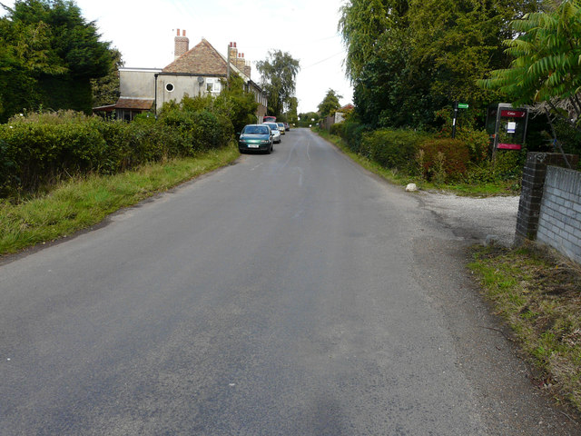
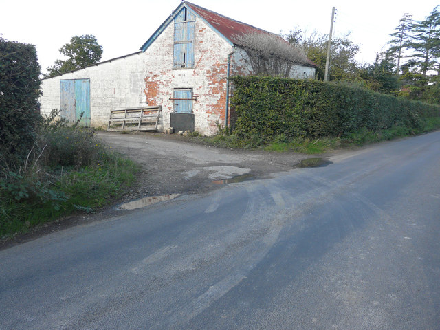
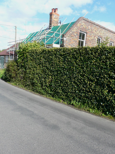
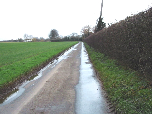
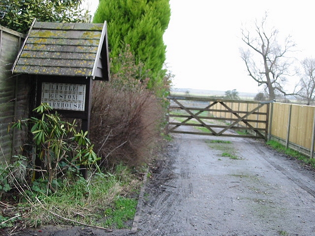
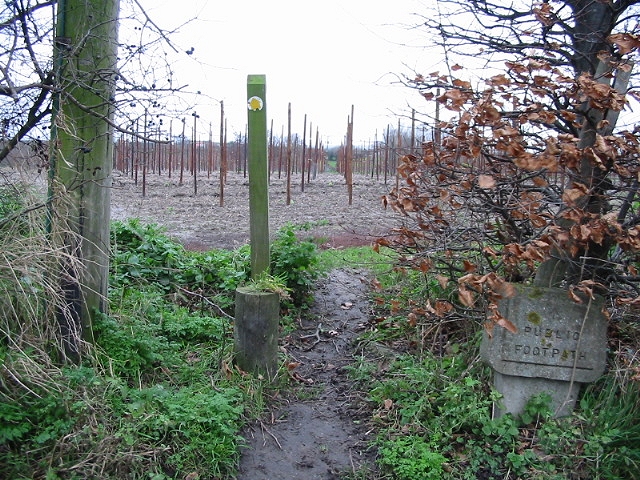
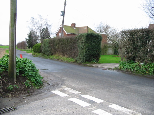
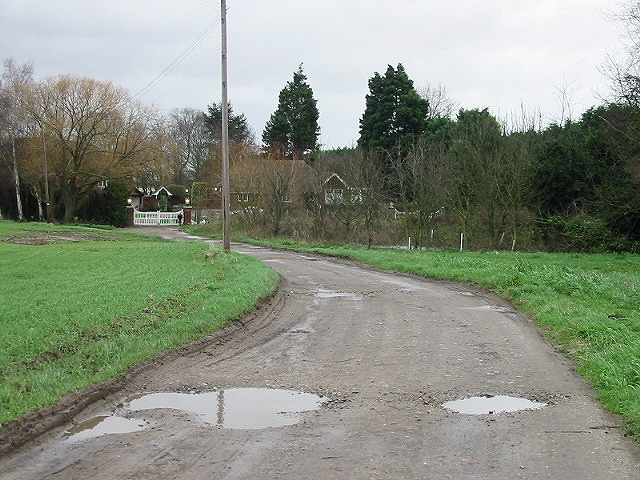
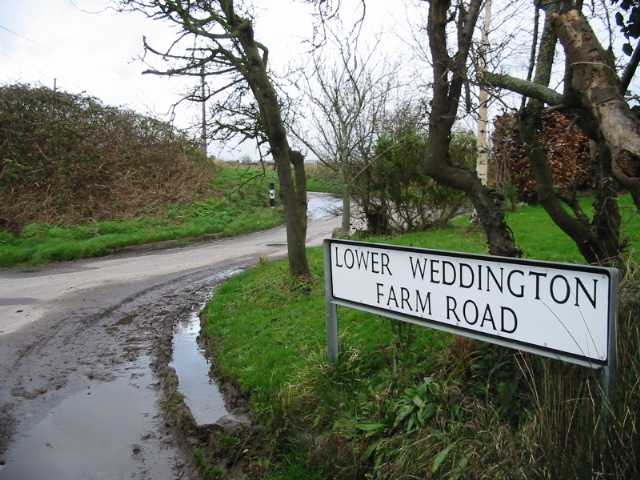
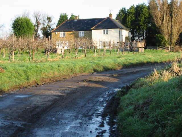
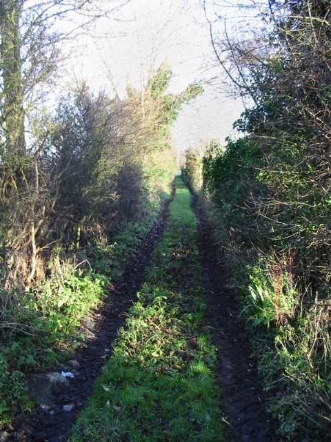
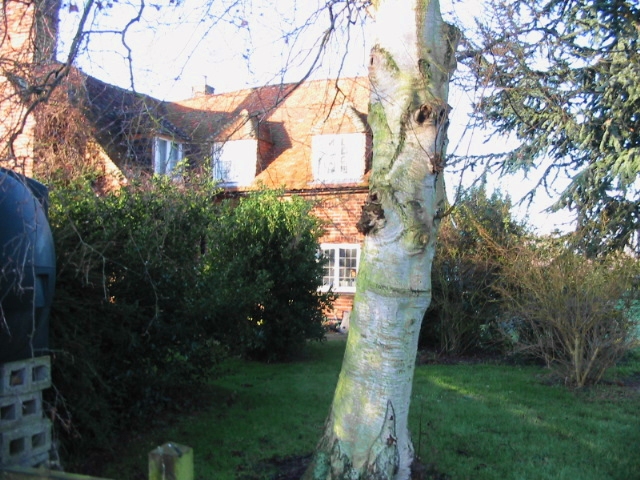
Paramour Street Images

Images are sourced within 2km of 51.302575/1.284754 or Grid Reference TR2961. Thanks to Geograph Open Source API. All images are credited.

Looking north-northeast along The Row The telephone box, to the right of the footpath signpost, had been filled by a creeper. There was a notice, on the door, to inform the public that the box was going to be removed.
Looking north-northeast along The Row
The telephone box, to the right of the footpath signpost, had been filled by a creeper. There was a notice, on the door, to inform the public that the box was going to be removed.
Direction Sign – Signpost Located on the northwest side of a crossroads on Wass Drove in Ash parish. 2 arms and no finial. See also <a title="https://www.geograph.org.uk/photo/3503229" href="https://www.geograph.org.uk/photo/3503229">Link</a>.

Milestone Society National ID: KE_TR2860
Direction Sign – Signpost
Located on the northwest side of a crossroads on Wass Drove in Ash parish. 2 arms and no finial. See also Link. Milestone Society National ID: KE_TR2860
Isolated farm building, Cop Street Road
Alterations to Forge House, Cop Street Planning permission has been granted by Dover District Council under application number DOV/15/00937 for the “erection of a two storey rear extension, a front dormer roof extension and installation of two roof lights to front roof slope”.
Alterations to Forge House, Cop Street
Planning permission has been granted by Dover District Council under application number DOV/15/00937 for the “erection of a two storey rear extension, a front dormer roof extension and installation of two roof lights to front roof slope”.
Looking NW along lane towards Guston Farm.
Driveway to Little Guston Farmhouse
Stour Valley footpath crossing road and entering an orchard (looking NW).
Junction of Cop Street Road and Weddington Lane
Manor House, Lower Weddington Farm Lane.
Lower Weddington Farm Road Taken from Lower Weddington Farm Road, looking along Weddington Lane.
Lower Weddington Farm Road
Taken from Lower Weddington Farm Road, looking along Weddington Lane.
Cottages on a no through road near Cooper Street.
View along footpath/drove road - Potts Farm Drove.
Potts Farm from footpath.
Looking SW along Potts Farm Drove
Dilapidated farm buildings, Potts Farm
Entrance to Knell Farm on Knell Lane.
Overland Farm at the end of the lane.
Looking NW along Overland Lane from Overland Farm.
Show me another place!

Paramour Street is located at Grid Ref: TR2961 (Lat: 51.302575, Lng: 1.284754)

Administrative County: Kent

District: Dover

Police Authority: Kent

What 3 Words

///agency.deform.played. Near Ash, Kent

Related Wikis

Ware, Kent

Ware is a village situated between Canterbury and Ramsgate in Kent, England. The population of the village is included in the civil parish of Ash ��2...
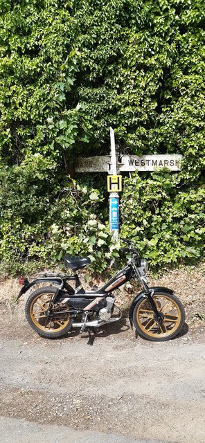
Westmarsh

Westmarsh is a village in the Ash civil parish of East Kent, England. It is situated 8 miles (13 km) east of Canterbury and 7 miles (11 km) west of Ramsgate...

Richborough

Richborough () is a settlement north of Sandwich on the east coast of the county of Kent, England. Richborough lies close to the Isle of Thanet. The population...
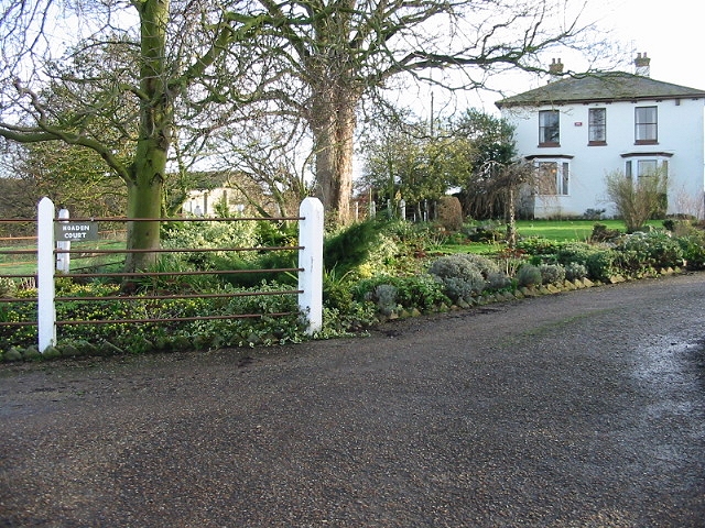
Hoaden

Hoaden is a hamlet situated one mile (1.6 km) to the east of Elmstone, Kent, England. Within the hamlet is Hoaden Court. == External links == Media related...

Nearby Amenities

Located within 500m of 51.302575,1.284754
Barrier: kissing_gate
Foot: yes
Lat/Long: 51.3069268/1.284605
Post Box
Collection Times: Mo-Fr 09:00; Sa 07:00
Operator: Royal Mail
Operator Wikidata: Q638098
Post Box Mounting: metal_post
Post Box Type: lamp
Ref: CT3 145
Royal Cypher: EIIR
Royal Cypher Wikidata: Q33102113
Source: survey
Lat/Long: 51.3023864/1.2823578
Power: pole
Lat/Long: 51.3001372/1.2894135
Power: pole
Lat/Long: 51.300273/1.2886062
Power: pole
Lat/Long: 51.3004759/1.2873777
Power: pole
Lat/Long: 51.3007107/1.2860393
Power: pole
Lat/Long: 51.3009404/1.2846687
Power: pole
Lat/Long: 51.3012993/1.2878847
Power: pole
Lat/Long: 51.3019802/1.2884238
Power: pole
Lat/Long: 51.3011551/1.2833705
Power: pole
Lat/Long: 51.3013515/1.2819729
Power: pole
Lat/Long: 51.3015051/1.2811457
Power: pole
Lat/Long: 51.3017607/1.2798003
Power: pole
Lat/Long: 51.3020123/1.2784484
The data included in this document is from www.openstreetmap.org. The data is made available under ODbL.

Have you been to Paramour Street?

Leave your review of Paramour Street below (or comments, questions and feedback).