Paran
Settlement in Pembrokeshire
Wales
Paran
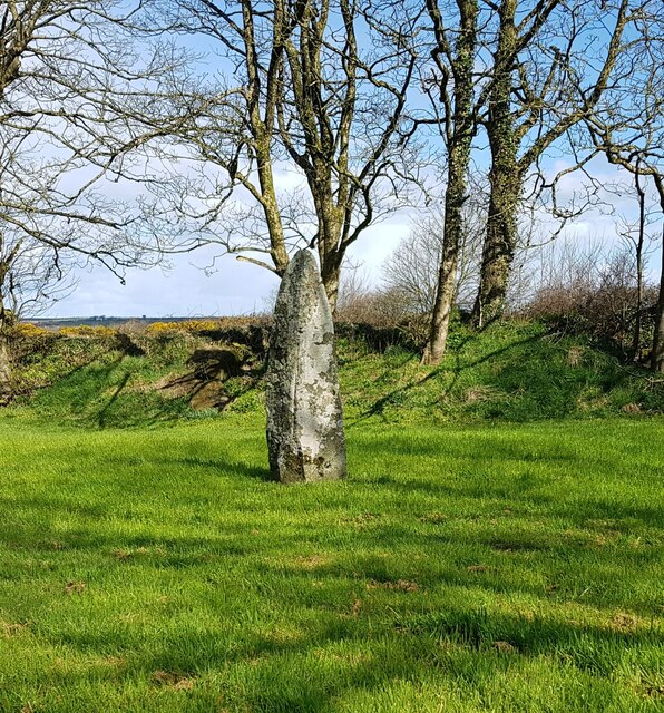
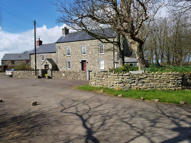
![Standing stone, Tremaenhir The OS map shows 'standing stones' here, but a quick search revealed only this one. The settlement name would suggest an ancient site associated with the stones, as it appears to translate as the settlement [town] of the long stones.](https://s0.geograph.org.uk/geophotos/03/21/31/3213116_c6699583.jpg)
Paran is a small village located in Pembrokeshire, Wales. Situated near the town of Narberth, Paran is known for its picturesque countryside and charming rural setting. The village is surrounded by rolling hills and farmland, creating a peaceful and idyllic atmosphere for residents and visitors alike.
Paran is a close-knit community with a population of around 500 residents. The village is home to a number of traditional Welsh cottages and historic buildings, adding to its quaint and timeless appeal. There are a few local shops and amenities in Paran, including a small grocery store, post office, and pub, providing basic necessities for residents.
The surrounding area of Paran offers plenty of opportunities for outdoor activities such as hiking, cycling, and birdwatching. The Pembrokeshire Coast National Park is just a short drive away, offering stunning views of the rugged coastline and access to beautiful sandy beaches.
Overall, Paran is a charming village that offers a peaceful and serene lifestyle for those looking to escape the hustle and bustle of city living. With its beautiful countryside and friendly community, Paran is a truly special place to call home.
If you have any feedback on the listing, please let us know in the comments section below.
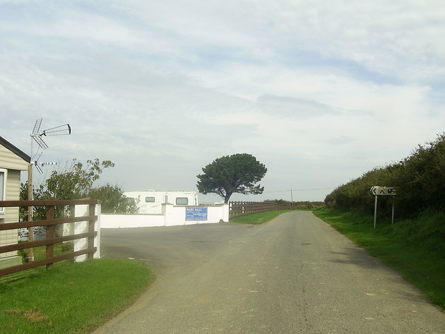
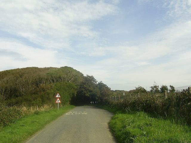
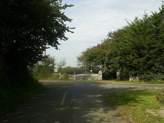
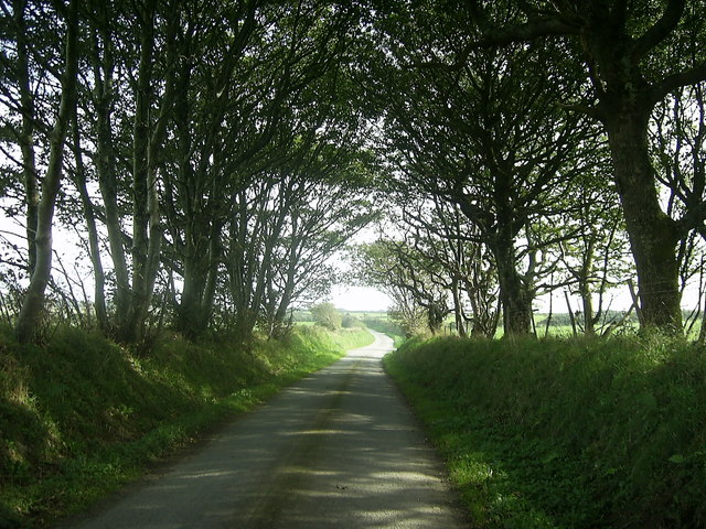
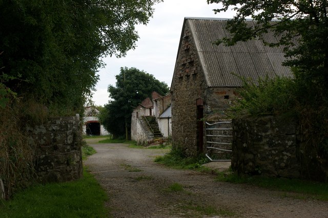
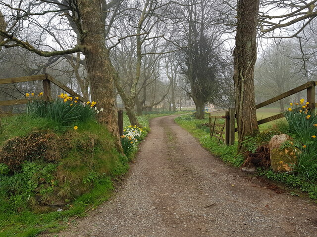
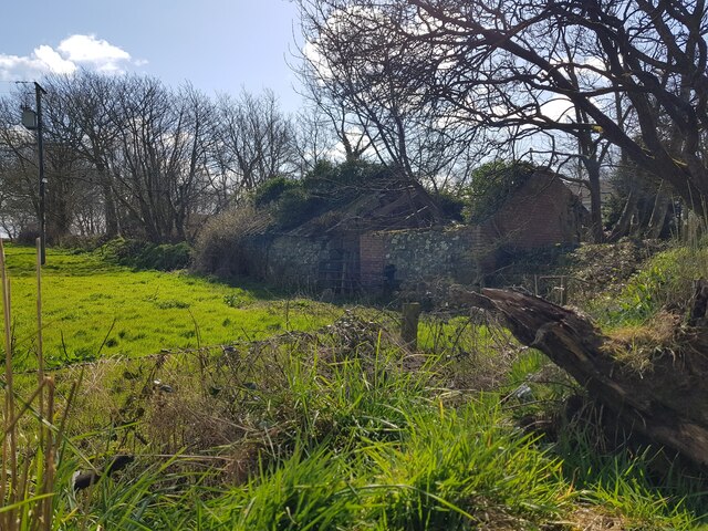
Paran Images
Images are sourced within 2km of 51.893077/-5.147061 or Grid Reference SM8326. Thanks to Geograph Open Source API. All images are credited.


Paran is located at Grid Ref: SM8326 (Lat: 51.893077, Lng: -5.147061)
Unitary Authority: Pembrokeshire
Police Authority: Dyfed Powys
What 3 Words
///dries.smiled.options. Near Llanrhian, Pembrokeshire
Nearby Locations
Related Wikis

Cawdor Barracks
Cawdor Barracks is a British Army installation located 6.3 miles (10.1 km) east of St Davids, Pembrokeshire and 9.8 miles (15.8 km) south west of Fishguard...

RAF Brawdy
Royal Air Force Brawdy, or more simply RAF Brawdy, is a former Royal Air Force satellite station located 6.3 miles (10.1 km) east of St Davids, Pembrokeshire...
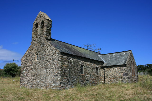
St Teilo's Church, Llandeloy
St Teilo's Church, Llandeloy, is a redundant church in the village of Llandeloy, Pembrokeshire, Wales, dedicated to Saint Teilo. It has been designated...

Llandeloy
Llandeloy (Welsh: Llan-lwy) is a small village and parish in Pembrokeshire, South West Wales. Together with the parishes of Brawdy and Llanreithan, it...
Nearby Amenities
Located within 500m of 51.893077,-5.147061Have you been to Paran?
Leave your review of Paran below (or comments, questions and feedback).