Lower Sticker
Settlement in Cornwall
England
Lower Sticker
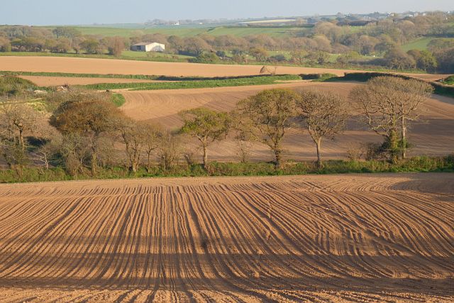
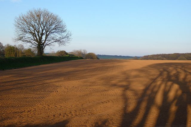
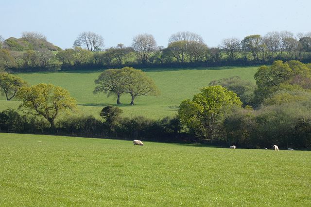
Lower Sticker is a small rural village located in the county of Cornwall, England. Situated approximately 7 miles southwest of Truro, the village is nestled in the picturesque countryside, surrounded by rolling hills and farmland.
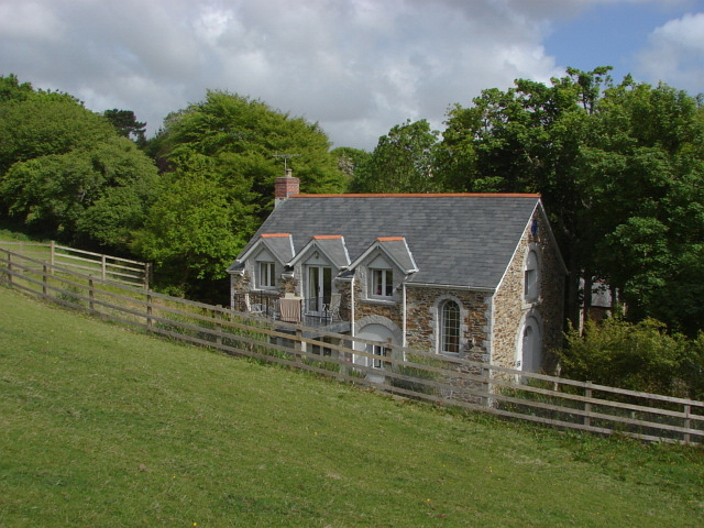
With a population of around 400 residents, Lower Sticker offers a peaceful and close-knit community atmosphere. The village is characterized by its charming stone cottages, some of which date back to the 18th century, lending a sense of history to the area.
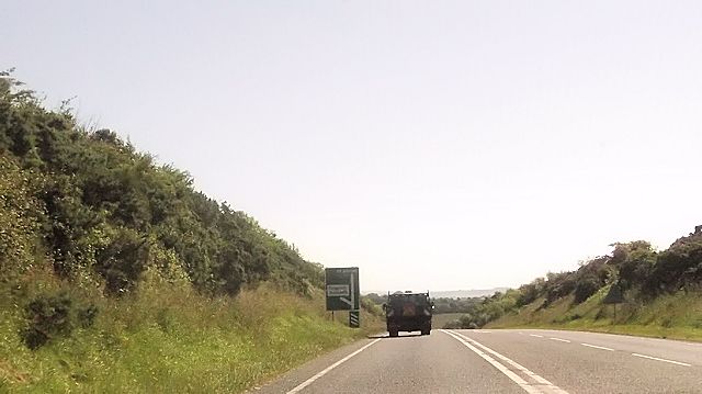
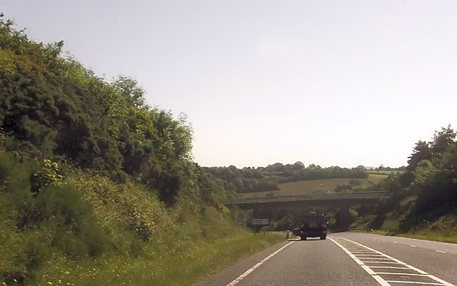
Lower Sticker benefits from its proximity to the stunning Roseland Peninsula, renowned for its scenic beauty. Residents and visitors can easily access coastal paths and enjoy breathtaking views of the English Channel. The nearby river Fal offers opportunities for boating and fishing, adding to the area's appeal for outdoor enthusiasts.
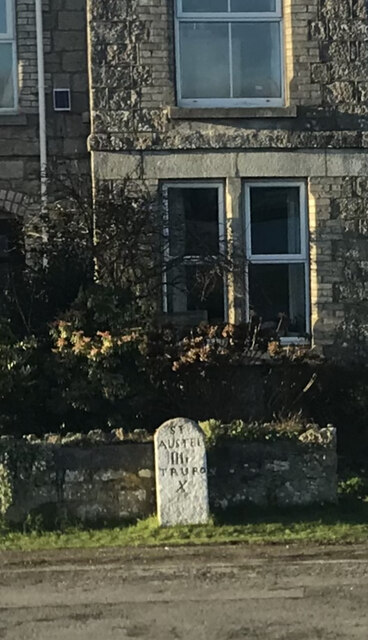
The village itself offers limited amenities, including a village hall and a local pub, providing a focal point for social gatherings. However, for more extensive amenities, residents can easily access the nearby town of Truro, which offers a wider range of shops, services, and leisure facilities.
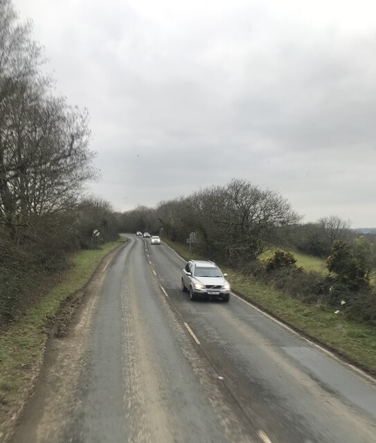
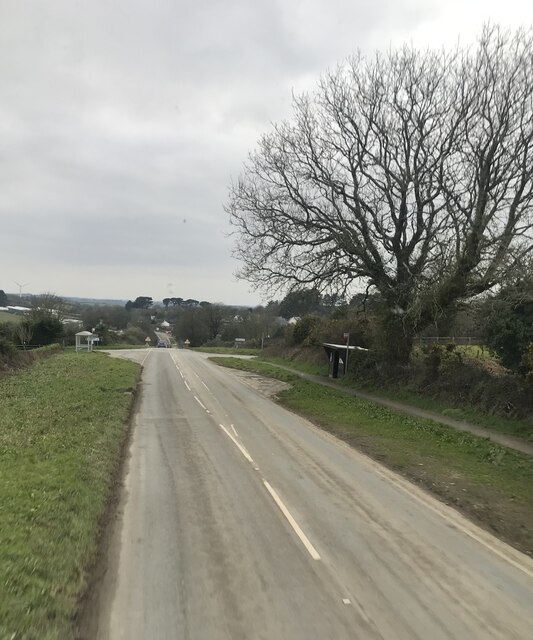
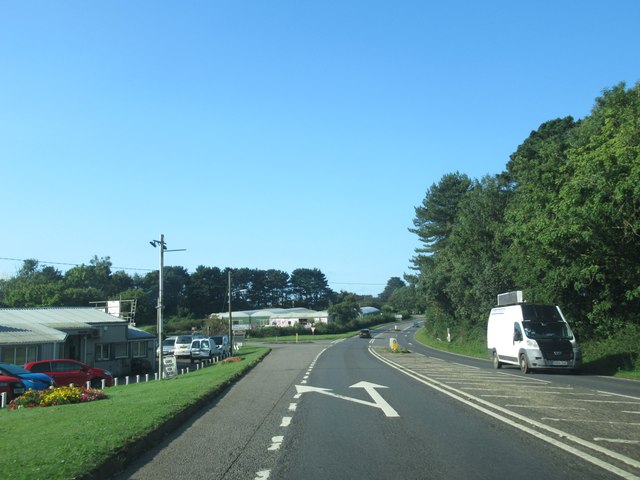
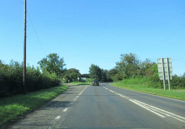
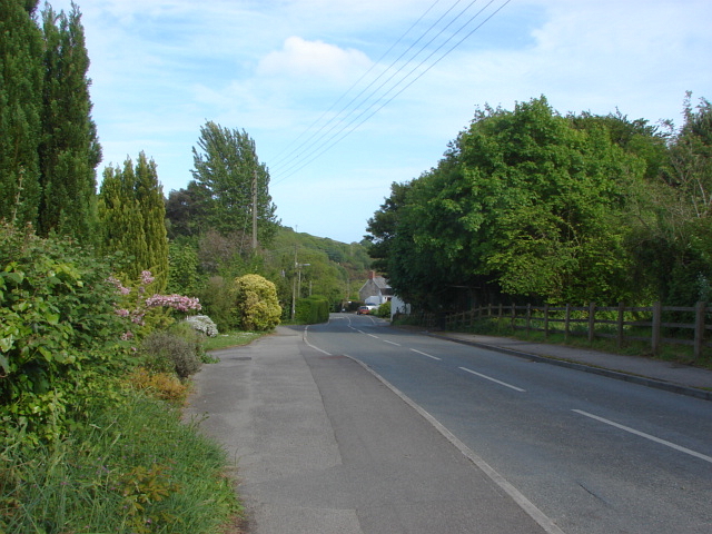
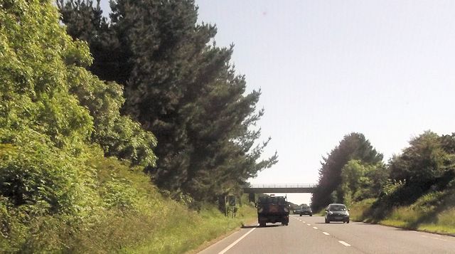
Lower Sticker is well-connected to the surrounding area by road, with the A390 providing easy access to Truro and other nearby towns. The village also benefits from regular bus services, ensuring convenient transportation links.
Overall, Lower Sticker provides a tranquil and picturesque setting for those seeking a rural lifestyle, with its close proximity to natural beauty spots and easy access to nearby towns for additional facilities.
If you have any feedback on the listing, please let us know in the comments section below.
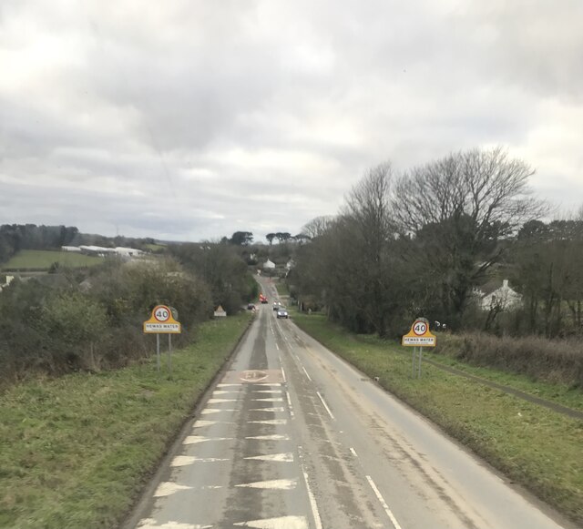
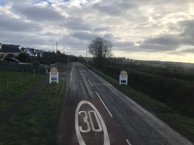
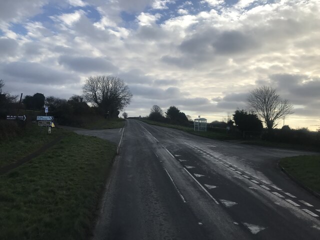
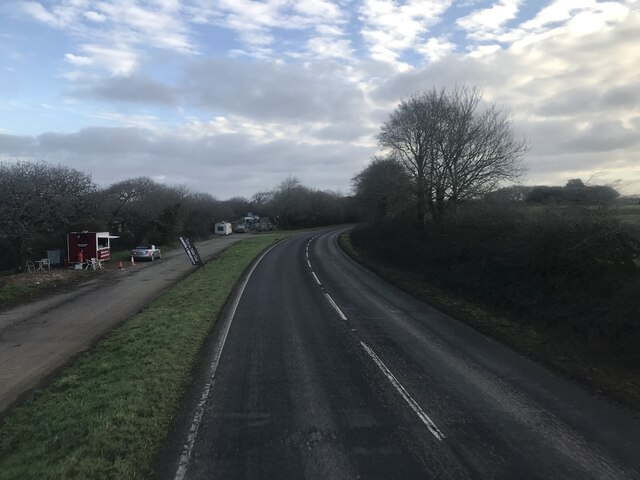
Lower Sticker Images
Images are sourced within 2km of 50.312849/-4.8396602 or Grid Reference SW9749. Thanks to Geograph Open Source API. All images are credited.
Lower Sticker is located at Grid Ref: SW9749 (Lat: 50.312849, Lng: -4.8396602)
Unitary Authority: Cornwall
Police Authority: Devon and Cornwall
What 3 Words
///honey.newest.arranger. Near St Stephen, Cornwall
Nearby Locations
Related Wikis

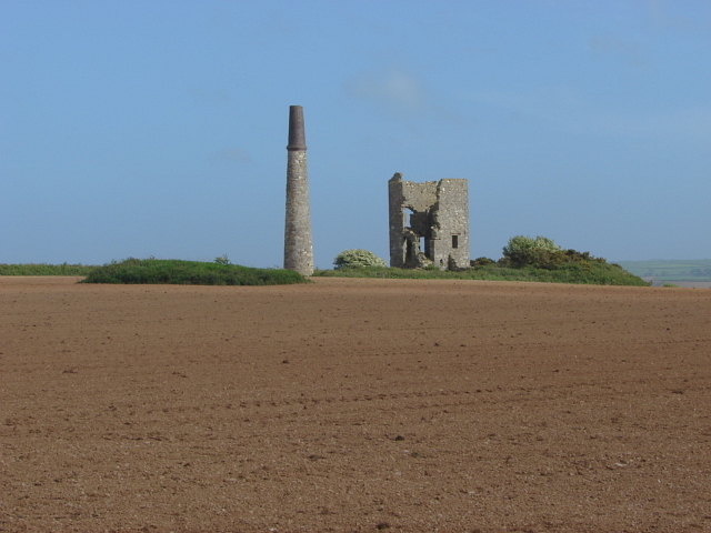
Sticker, Cornwall
Sticker (Cornish: Stekyer) is a former mining village in south Cornwall, England, United Kingdom. It lies in the parish of St Mewan. The nearest town is...

Paramoor
Paramoor is a hamlet near St Mewan in Cornwall, England. Paramoor is southwest of Sticker and Paramoor Wood is nearby. == References ==

Hewas Water
Hewas Water is a hamlet in mid Cornwall, England, UK. It is off the A390 road near Sticker and about 3 miles (5 km) west southwest of St Austell. It is...

Sticker A.F.C.
Sticker Association Football Club is a football club based in Sticker, Cornwall. They are currently members of the South West Peninsula League Premier...

Trelowth
Trelowth (also Trelowith, or Trelowthe, or Trelowthes; meaning, "the town place of trees") is a hamlet in Cornwall, England, United Kingdom. It lies 2...
Polgooth
Polgooth (Cornish: Pollgoodh) is a former mining village in south Cornwall, England, United Kingdom. It lies mainly in the parish of St Mewan and partly...
St Austell Rural District
St Austell Rural District was a local government division of Cornwall in England, UK, between 1894 and 1974. Established under the Local Government Act...
Levalsa Meor
Levalsa Meor is a hamlet in Cornwall, England, UK. It is half a mile south of London Apprentice and 2.5 miles (4.0 km) south-west from St Austell. It is...
Related Videos
🎥 HD VIRTUAL TOUR | Atlas Wisteria 2020 | 40' x 20' 2 Bed Holiday Home on Meadow Lakes in Cornwall
Check out this Virtual Tour of our Atlas Wisteria at Meadow Lakes Holiday Park, St Austell, Cornwall to find out what this open plan ...


Cornwall, St Austell - Mevagissey South West motorhome tour part 4
We spent 3 loverly nights at River valley campsite near St Austell and had two loverly walks into St Austell and Mevagissey.

ACCOMODATION | Kingswood Restaurant & Bar | Promo 2023
ACCOMODATION | Kingswood Restaurant & Bar | Promo 2023 - "Completed in October 2022, our bedrooms offer comfort, style ...
Nearby Amenities
Located within 500m of 50.312849,-4.8396602Have you been to Lower Sticker?
Leave your review of Lower Sticker below (or comments, questions and feedback).