Pantygraig Wen

Settlement in Glamorgan

Wales

Pantygraig Wen

View south at Pontypridd station
View south at Pontypridd station Credit: Peter Whatley

Pantygraig Wen is a small village located in the county of Glamorgan, Wales. Nestled amidst the picturesque landscapes of the Welsh countryside, the village offers a tranquil and idyllic setting for its residents. With a population of around 300 people, Pantygraig Wen is known for its close-knit community and welcoming atmosphere.

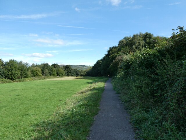
Surrounded by rolling hills and lush green fields, the village provides ample opportunities for outdoor activities and exploration. Walking and cycling trails crisscross the surrounding countryside, offering breathtaking views of the nearby mountains and valleys. The village is also conveniently located near several nature reserves, providing a haven for wildlife enthusiasts and birdwatchers.

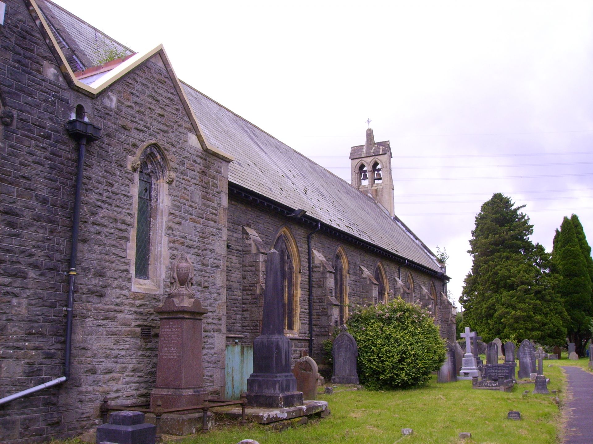
The architecture of Pantygraig Wen reflects its rich history, with many traditional Welsh stone cottages dotting the landscape. These charming buildings add to the village's character and serve as a reminder of its heritage. Despite its small size, Pantygraig Wen is equipped with essential amenities such as a local shop, post office, and a village hall that hosts various community events throughout the year.

The village prides itself on its strong sense of community spirit, with regular gatherings and activities organized by local residents. These include festivals, fairs, and sports events that bring together people of all ages. The friendly and welcoming nature of the villagers fosters a strong sense of belonging and unity.

In summary, Pantygraig Wen offers a peaceful and picturesque retreat in the heart of Glamorgan. Its stunning natural surroundings, rich history, and vibrant community make it an ideal place to live or visit for those seeking a slower pace of life amidst the beauty of the Welsh countryside.

If you have any feedback on the listing, please let us know in the comments section below.

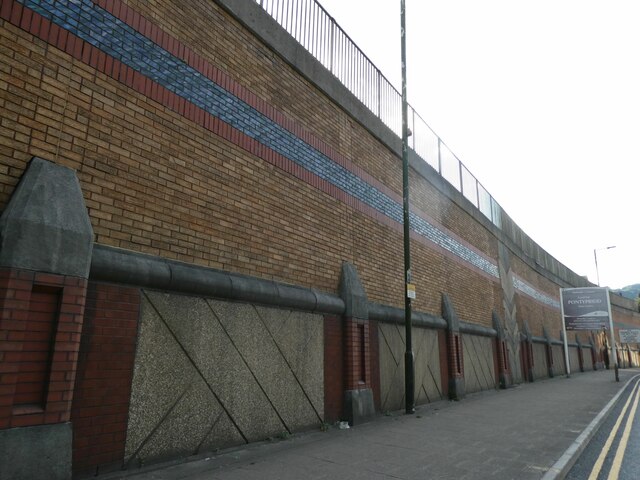
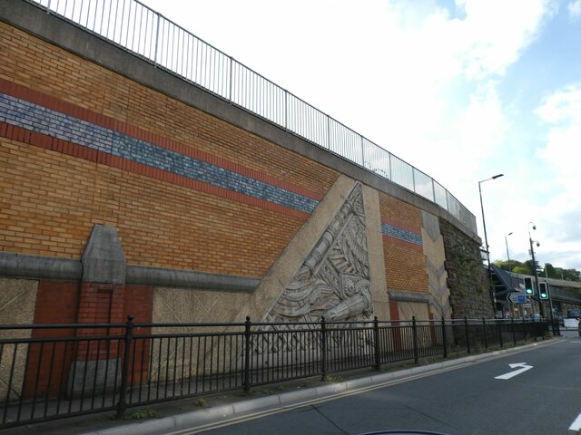
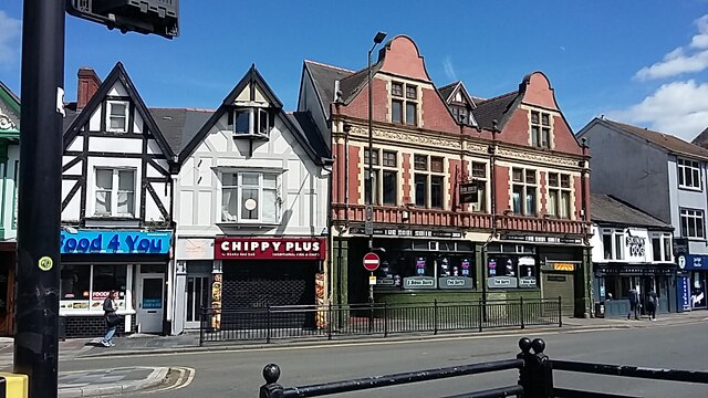
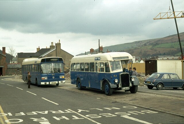
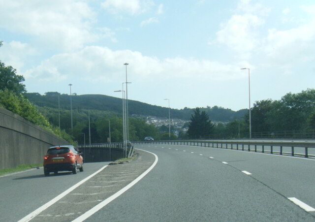
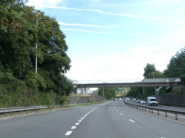
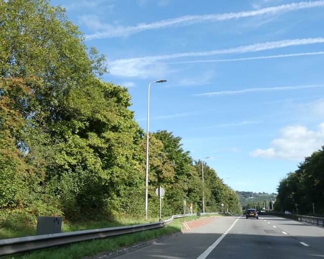
Pantygraig Wen Images

Images are sourced within 2km of 51.607907/-3.353512 or Grid Reference ST0690. Thanks to Geograph Open Source API. All images are credited.

View south at Pontypridd station
Pontypridd station from platform 3
Line clear for Merthyr The signal at the north end of Pontypridd's platform 3 shows a clear aspect with a route indication using white lights for the Merthyr train next to depart.
Line clear for Merthyr
The signal at the north end of Pontypridd's platform 3 shows a clear aspect with a route indication using white lights for the Merthyr train next to depart.
Sainsbury's superstore, Pontypridd The shopfloor is on the first floor, above a car park on ground level
Sainsbury's superstore, Pontypridd
The shopfloor is on the first floor, above a car park on ground level
A4058 bridge over A470, Pontypridd
Relief sculpture, wall between road and railway, Pontypridd
Wall between railway and road, Pontypridd An attempt has been made to make this wall more attractive, with textured panels and some relief sculpture.
Wall between railway and road, Pontypridd
An attempt has been made to make this wall more attractive, with textured panels and some relief sculpture.
Relief sculpture in wall near Pontypridd station
Staircase to Pontypridd railway station
Heath and many stone walls No idea if this area has any historical significance or not.
Heath and many stone walls
No idea if this area has any historical significance or not.
Pontypridd Pontypridd, viewed from just outside railway station
Pontypridd
Pontypridd, viewed from just outside railway station
Pontypridd The railway underpass, under the station
Pontypridd
The railway underpass, under the station
Pontypridd Pontypridd railway station train ready to leave to Aberdare
Pontypridd
Pontypridd railway station train ready to leave to Aberdare
Two generations apart, Pontypridd – 1979 A remarkable view of two buses owned by the same operator but with an age gap of 30 years. On the left is no.25, a Leyland National new in 1977, on the right 51 is a Bristol L with Beadle bodywork new in 1947 which somehow managed to survive with its original owner for over 30 years, with a couple of withdrawals and re-instatements. It survived into preservation and in 2022 forms part of a fleet of classic buses in Belgium.

This is one of a series of views featuring buses in the 60s, 70s, and 80s. <a title="https://www.geograph.org.uk/search.php?i=137652761" href="https://www.geograph.org.uk/search.php?i=137652761">Link</a>

Instead of the bus layby, there is now a purpose built bus station at this location <a title="https://www.geograph.org.uk/photo/2404628" href="https://www.geograph.org.uk/photo/2404628">Link</a>
Two generations apart, Pontypridd – 1979
A remarkable view of two buses owned by the same operator but with an age gap of 30 years. On the left is no.25, a Leyland National new in 1977, on the right 51 is a Bristol L with Beadle bodywork new in 1947 which somehow managed to survive with its original owner for over 30 years, with a couple of withdrawals and re-instatements. It survived into preservation and in 2022 forms part of a fleet of classic buses in Belgium. This is one of a series of views featuring buses in the 60s, 70s, and 80s. Link Instead of the bus layby, there is now a purpose built bus station at this location Link
A470 at Coedpenmaen
A470 at Coedpenmaen
Footbridge over A470, Pontypridd The bridge leads to (on the right) Coedpenaen Primary School
Footbridge over A470, Pontypridd
The bridge leads to (on the right) Coedpenaen Primary School
Unprotected lay-by by A470, Pontypridd As this small lay-by has an emergency phone, one assumes it is intended for emergencies only, not for picnics
Unprotected lay-by by A470, Pontypridd
As this small lay-by has an emergency phone, one assumes it is intended for emergencies only, not for picnics
Taff Trail by flood plain of River Taff
Show me another place!

Pantygraig Wen is located at Grid Ref: ST0690 (Lat: 51.607907, Lng: -3.353512)

Unitary Authority: Rhondda Cynon Taf

Police Authority: South Wales

Also known as: Pantygraigwen

What 3 Words

///trash.arrive.sunset. Near Pontypridd, Rhondda Cynon Taf

Related Wikis

Pontypridd railway accident

On Monday 23 January 1911, a collision between a passenger train and a coal train on the Taff Vale Railway line at Hopkinstown, outside Pontypridd in Wales...

Hopkinstown

Hopkinstown (Welsh: Trehopcyn) is a small village to the west of Pontypridd in the county borough of Rhondda Cynon Taf, Wales, alongside the River Rhondda...

Gyfeillon Platform railway station

Gyfeillon Platform railway station, also known as Gyfeillon Halt railway station, co-served the town of Pontypridd, in the historical county of Glamorganshire...

Pwllgwaun

Pwllgwaun (or Pwll-Gwaun) is a village and small suburb of Pontypridd within the 'Rhondda' electoral ward, bordered by Hopkinstown and Graigwen hill to...

Nearby Amenities

Located within 500m of 51.607907,-3.353512
Crossing
Crossing: traffic_signals
Lat/Long: 51.6065032/-3.3593601
Place Of Worship
Lat/Long: 51.6069456/-3.359926
Bus Stop
Lat/Long: 51.6069723/-3.3601234
Bus Stop
Naptan AtcoCode: 5520AWA14193
Naptan NaptanCode: rhodpap
Lat/Long: 51.6067004/-3.3598916
Bus Stop
Naptan AtcoCode: 5520AWA14192
Naptan NaptanCode: rhodpdj
Lat/Long: 51.6052132/-3.3579948
Bus Stop
Naptan AtcoCode: 5520AWA14191
Naptan NaptanCode: rhodpdg
Lat/Long: 51.6052238/-3.3576686
Parking
Lat/Long: 51.6045038/-3.3558566
Parking
Lat/Long: 51.6044775/-3.3530166
Bus Stop
Shelter: yes
Lat/Long: 51.6045434/-3.3544863
Bus Stop
Naptan AtcoCode: 5520AWA14189
Naptan NaptanCode: rhodpaw
Lat/Long: 51.6046588/-3.35342
Barrier: cattle_grid
Lat/Long: 51.6101889/-3.3546509
Spar
Addr Housenumber: 117
Addr Postcode: CF37 2PT
Addr Street: Hopkinstown Road
Brand: Spar
Brand Wikidata: Q610492
Fhrs Id: 1211121
Shop: convenience
Website: https://www.spar.co.uk/store-locator/afb29889-spar-hopkinstown/
Lat/Long: 51.6047068/-3.3534044
Fast Food
Ming Hong
Addr City: Pontypridd
Addr Housenumber: 105
Addr Postcode: CF37 2PS
Addr Street: Hopkinstown Road
Addr Suburb: Hopkinstown
Cuisine: chinese
Fhrs Id: 187608
Takeaway: yes
Lat/Long: 51.6046776/-3.354679
Graigwen
Place: village
Wikidata: Q5593477
Lat/Long: 51.6072541/-3.3471007
Hopkinstown
Place: village
Wikidata: Q5900757
Lat/Long: 51.6062946/-3.3568854
Pantygraigwen
Place: village
Lat/Long: 51.6088799/-3.3581729
Atm
Source: survey
Lat/Long: 51.6046996/-3.3534586
P.A.R.C. Garage
Shop: car_repair
Source: survey
Lat/Long: 51.6042665/-3.3497381
Barrier: bollard
Bollard: fixed
Lat/Long: 51.6047642/-3.3550157
Addr Housename: Dragon Cottage
Addr Street: Llanwonno Road
Lat/Long: 51.6096023/-3.3576698
Addr Housename: Brynhyfryd
Lat/Long: 51.6097139/-3.3577932
Direction: 85
Generator Solar Modules: 14
Generator Source: solar
Location: roof
Power: generator
Lat/Long: 51.6094119/-3.3522414
Direction: SSE
Generator Solar Modules: 16
Generator Source: solar
Location: roof
Power: generator
Lat/Long: 51.6085617/-3.3524986
Direction: SSW
Generator Method: photovoltaic
Generator Output Electricity: yes
Generator Solar Modules: 9
Generator Source: solar
Generator Type: solar_photovoltaic_panel
Location: roof
Power: generator
Lat/Long: 51.6076733/-3.3559504
Direction: SSW
Generator Method: photovoltaic
Generator Output Electricity: yes
Generator Solar Modules: 11
Generator Source: solar
Generator Type: solar_photovoltaic_panel
Location: roof
Power: generator
Lat/Long: 51.6074093/-3.3551236
Direction: 145
Generator Method: photovoltaic
Generator Output Electricity: yes
Generator Solar Modules: 8
Generator Source: solar
Generator Type: solar_photovoltaic_panel
Location: roof
Power: generator
Lat/Long: 51.6035487/-3.3517139
Direction: 145
Generator Method: photovoltaic
Generator Output Electricity: yes
Generator Solar Modules: 10
Generator Source: solar
Generator Type: solar_photovoltaic_panel
Location: roof
Power: generator
Lat/Long: 51.6041059/-3.3516079
Direction: WNW
Generator Method: photovoltaic
Generator Output Electricity: yes
Generator Solar Modules: 7
Generator Source: solar
Generator Type: solar_photovoltaic_panel
Location: roof
Power: generator
Lat/Long: 51.6048662/-3.3548323
Direction: ESE
Generator Method: photovoltaic
Generator Output Electricity: yes
Generator Solar Modules: 8
Generator Source: solar
Generator Type: solar_photovoltaic_panel
Location: roof
Power: generator
Lat/Long: 51.6048523/-3.3547501
Direction: SSW
Generator Method: photovoltaic
Generator Output Electricity: yes
Generator Solar Modules: 20
Generator Source: solar
Generator Type: solar_photovoltaic_panel
Location: roof
Power: generator
Lat/Long: 51.6048414/-3.3555695
Direction: 235
Generator Method: photovoltaic
Generator Output Electricity: yes
Generator Solar Modules: 8
Generator Source: solar
Generator Type: solar_photovoltaic_panel
Location: roof
Power: generator
Lat/Long: 51.6088435/-3.3569495
Direction: 235
Generator Method: photovoltaic
Generator Output Electricity: yes
Generator Solar Modules: 10
Generator Source: solar
Generator Type: solar_photovoltaic_panel
Location: roof
Power: generator
Lat/Long: 51.608632/-3.3567068
Direction: SSW
Generator Method: photovoltaic
Generator Output Electricity: yes
Generator Solar Modules: 12
Generator Source: solar
Generator Type: solar_photovoltaic_panel
Location: roof
Power: generator
Lat/Long: 51.6081172/-3.3567175
Direction: SSW
Generator Method: photovoltaic
Generator Output Electricity: yes
Generator Solar Modules: 8
Generator Source: solar
Generator Type: solar_photovoltaic_panel
Location: roof
Power: generator
Lat/Long: 51.607112/-3.3543143
Direction: 235
Generator Method: photovoltaic
Generator Output Electricity: yes
Generator Solar Modules: 10
Generator Source: solar
Generator Type: solar_photovoltaic_panel
Location: roof
Power: generator
Lat/Long: 51.6083821/-3.3515503
Direction: 145
Generator Method: photovoltaic
Generator Output Electricity: yes
Generator Solar Modules: 9
Generator Source: solar
Generator Type: solar_photovoltaic_panel
Location: roof
Power: generator
Lat/Long: 51.6084037/-3.3516455
Direction: 170
Generator Method: photovoltaic
Generator Output Electricity: yes
Generator Solar Modules: 15
Generator Source: solar
Generator Type: solar_photovoltaic_panel
Location: roof
Power: generator
Lat/Long: 51.6067047/-3.3465429
Direction: SSW
Generator Method: photovoltaic
Generator Output Electricity: yes
Generator Solar Modules: 20
Generator Source: solar
Generator Type: solar_photovoltaic_panel
Location: roof
Power: generator
Lat/Long: 51.6068483/-3.3484241
Direction: SSW
Generator Method: photovoltaic
Generator Output Electricity: yes
Generator Solar Modules: 8
Generator Source: solar
Generator Type: solar_photovoltaic_panel
Location: roof
Power: generator
Lat/Long: 51.6073925/-3.3536301
Direction: SSW
Generator Method: photovoltaic
Generator Output Electricity: yes
Generator Solar Modules: 8
Generator Source: solar
Generator Type: solar_photovoltaic_panel
Location: roof
Power: generator
Lat/Long: 51.6073717/-3.3536442
Direction: ESE
Generator Method: photovoltaic
Generator Output Electricity: yes
Generator Solar Modules: 8
Generator Source: solar
Generator Type: solar_photovoltaic_panel
Location: roof
Power: generator
Lat/Long: 51.6073475/-3.3585191
Direction: WNW
Generator Method: photovoltaic
Generator Output Electricity: yes
Generator Solar Modules: 8
Generator Source: solar
Generator Type: solar_photovoltaic_panel
Location: roof
Power: generator
Lat/Long: 51.6073575/-3.3585673
Direction: S
Generator Method: photovoltaic
Generator Output Electricity: yes
Generator Solar Modules: 12
Generator Source: solar
Generator Type: solar_photovoltaic_panel
Location: roof
Power: generator
Lat/Long: 51.6074541/-3.3589415
Booth: K6
Covered: booth
Disused Amenity: telephone
Man Made: telephone_box
Lat/Long: 51.6076744/-3.3557679
Defibrillator
Defibrillator Location: opposite red phone box on Pantygraigwen Road, Pontypridd
Emergency: defibrillator
Indoor: no
Lat/Long: 51.6077551/-3.3557232
Bench
Lat/Long: 51.6063296/-3.3508675
Bench
Lat/Long: 51.606766/-3.3509265
The data included in this document is from www.openstreetmap.org. The data is made available under ODbL.

Have you been to Pantygraig Wen?

Leave your review of Pantygraig Wen below (or comments, questions and feedback).