Pant-y-Goytre

Settlement in Monmouthshire

Wales

Pant-y-Goytre

Llanfair Kilgeddin Village Hall Corrugated metal building on the west side of the B4598 in rural Monmouthshire between Usk and Abergavenny.
<a title="https://www.geograph.org.uk/photo/5390430" href="https://www.geograph.org.uk/photo/5390430">Link</a> to another view of the hall.
Llanfair Kilgeddin Village Hall Credit: Jaggery

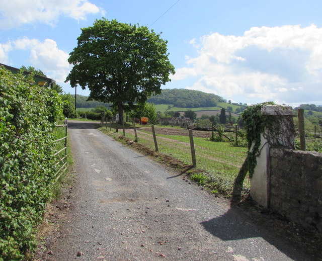
Pant-y-Goytre is a small village located in the county of Monmouthshire, Wales. Situated in the picturesque Usk Valley, it is surrounded by beautiful rolling hills and lush greenery. The village is located approximately 5 miles south of the town of Abergavenny.

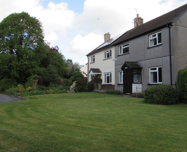
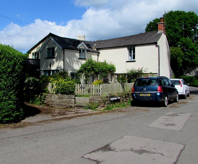
Pant-y-Goytre has a population of around 500 residents and is known for its peaceful and idyllic atmosphere. The village is predominantly residential, with a mix of traditional stone cottages and newer houses. The community is tight-knit, with a friendly and welcoming atmosphere.

One of the notable features of Pant-y-Goytre is the nearby Goytre Wharf, which is part of the Monmouthshire and Brecon Canal. The wharf offers a picturesque setting for leisure activities such as walking, boating, and fishing. It also features a visitor center, café, and picnic areas, making it a popular destination for both locals and tourists.

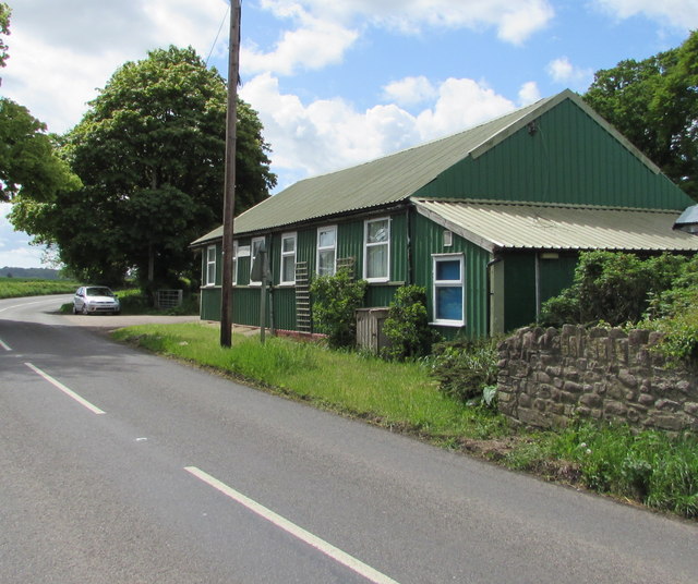
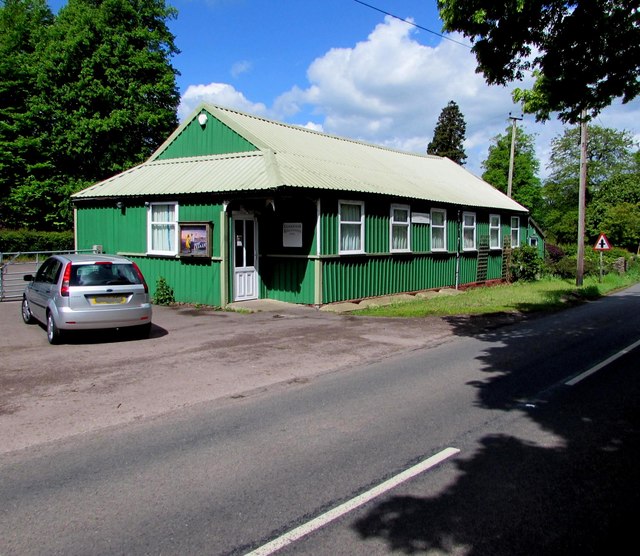
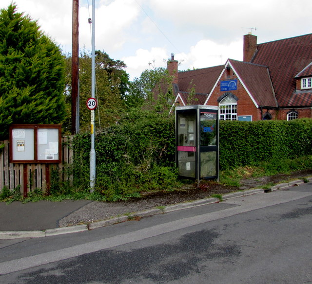
The village has limited amenities, with a small primary school and a community hall being the main facilities. However, residents can easily access a wider range of services in nearby towns such as Abergavenny or Pontypool.

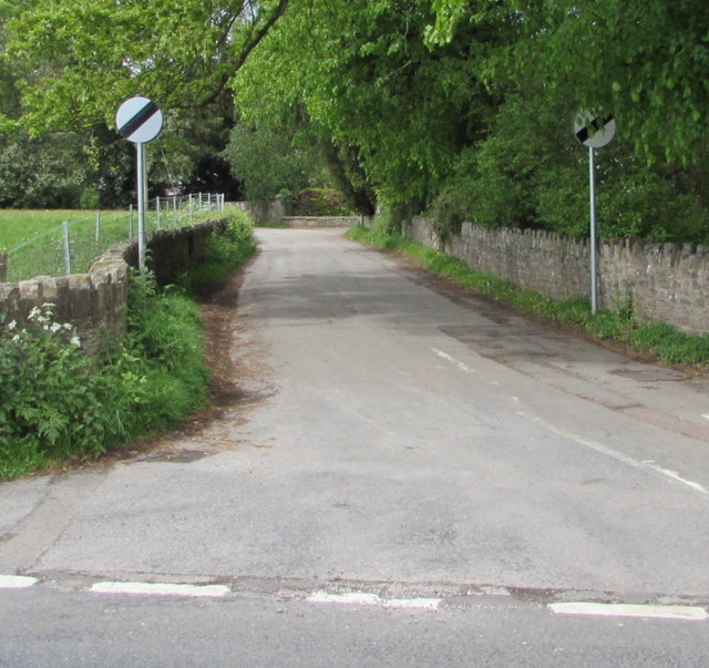
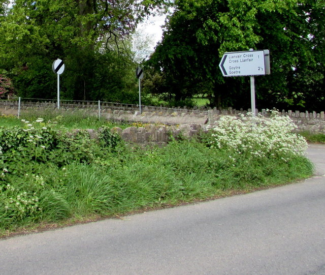
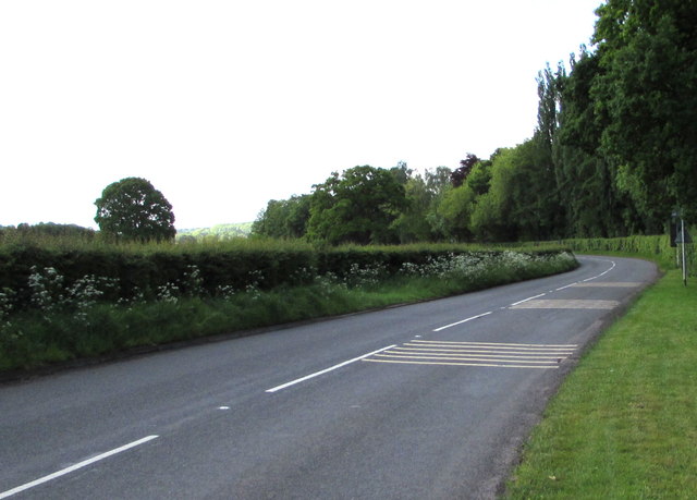
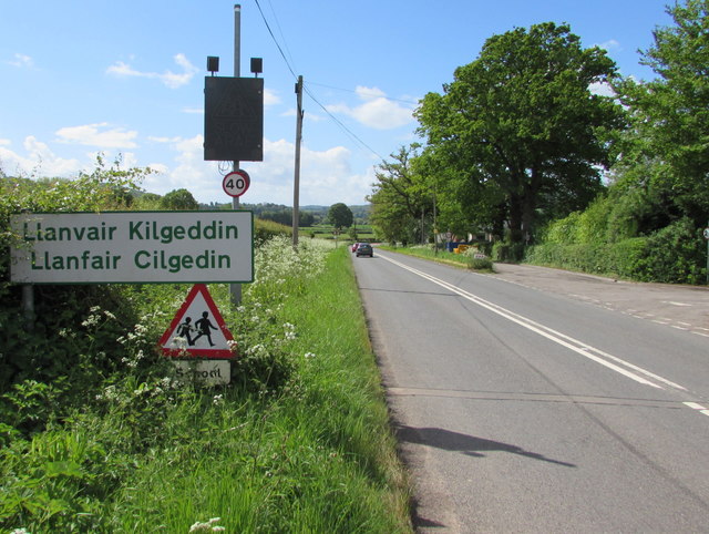
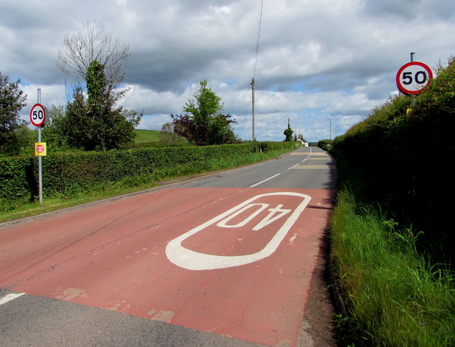
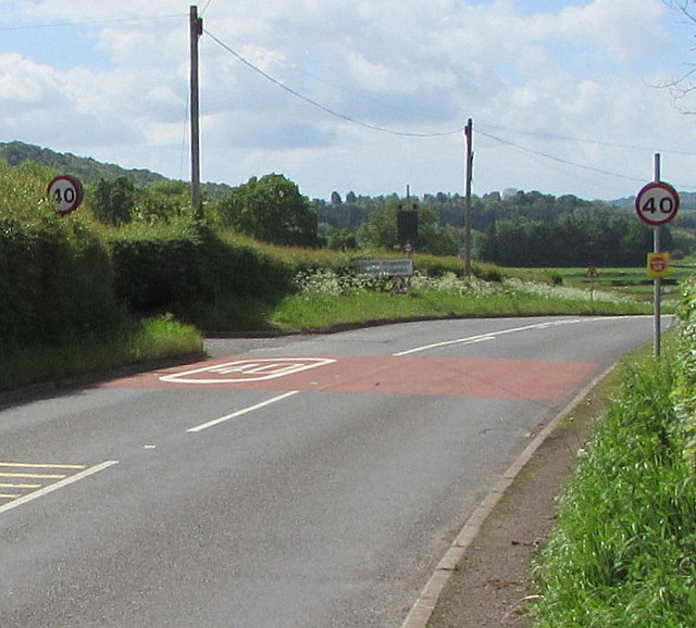
Pant-y-Goytre is well-connected to other parts of Monmouthshire and beyond via road networks. The A4042 road runs through the village, providing easy access to nearby towns and cities such as Newport and Cardiff.

Overall, Pant-y-Goytre offers a peaceful and scenic retreat, making it an attractive place to live for those seeking a rural lifestyle in the beautiful Welsh countryside.

If you have any feedback on the listing, please let us know in the comments section below.

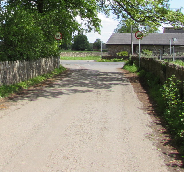
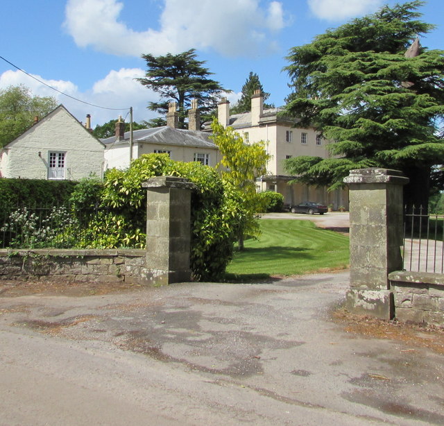
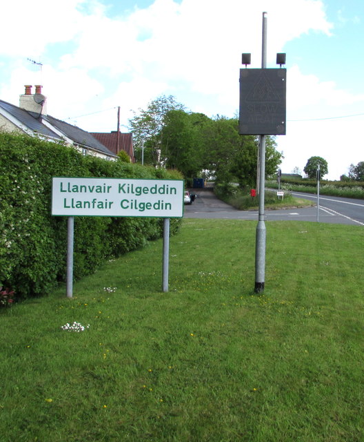
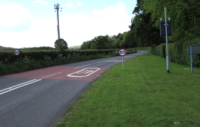
Pant-y-Goytre Images

Images are sourced within 2km of 51.771931/-2.948246 or Grid Reference SO3408. Thanks to Geograph Open Source API. All images are credited.

Llanfair Kilgeddin Village Hall Corrugated metal building on the west side of the B4598 in rural Monmouthshire between Usk and Abergavenny.
<a title="https://www.geograph.org.uk/photo/5390430" href="https://www.geograph.org.uk/photo/5390430">Link</a> to another view of the hall.
Llanfair Kilgeddin Village Hall
Corrugated metal building on the west side of the B4598 in rural Monmouthshire between Usk and Abergavenny. Link to another view of the hall.
Llanfair Kilgeddin Village Hall Corrugated metal building on the west side of the B4598 in rural Monmouthshire between Usk and Abergavenny.
<a title="https://www.geograph.org.uk/photo/5390425" href="https://www.geograph.org.uk/photo/5390425">Link</a> to another view of the hall.
Llanfair Kilgeddin Village Hall
Corrugated metal building on the west side of the B4598 in rural Monmouthshire between Usk and Abergavenny. Link to another view of the hall.
Minor road west from Llanfair Kilgeddin, Monmouthshire Viewed across the B4598. A nearby sign <a title="https://www.geograph.org.uk/photo/5390440" href="https://www.geograph.org.uk/photo/5390440">Link</a> pointing this way shows Llanvair Cross 1 (mile), Goytre 2½.
The 50mph speed limit increases to the National Speed Limit ahead.
Minor road west from Llanfair Kilgeddin, Monmouthshire
Viewed across the B4598. A nearby sign Link pointing this way shows Llanvair Cross 1 (mile), Goytre 2½. The 50mph speed limit increases to the National Speed Limit ahead.
Direction and distances sign, Llanfair Kilgeddin, Monmouthshire Facing northbound traffic on the B4598 on the corner of this <a title="https://www.geograph.org.uk/photo/5390433" href="https://www.geograph.org.uk/photo/5390433">Link</a> minor road junction.
Direction and distances sign, Llanfair Kilgeddin, Monmouthshire
Facing northbound traffic on the B4598 on the corner of this Link minor road junction.
End of the National Speed Limit, Llanfair Kilgeddin, Monmouthshire The National Speed Limit on the minor road from Llanvair Cross
and Goytre drops to 50mph on the approach to the B4598 junction.
End of the National Speed Limit, Llanfair Kilgeddin, Monmouthshire
The National Speed Limit on the minor road from Llanvair Cross and Goytre drops to 50mph on the approach to the B4598 junction.
Grade II Listed Pant-y-Goitre House, Llanfair Kilgeddin, Monmouthshire Built in c1726 with later major changes. Grade II listed in 1956.
Grade II Listed Pant-y-Goitre House, Llanfair Kilgeddin, Monmouthshire
Built in c1726 with later major changes. Grade II listed in 1956.
Southern boundary of Llanvair Kilgeddin, Monmouthshire The boundary sign is alongside the B4598 at the southern edge of Llanvair Kilgeddin, a small village between Usk and Abergavenny. The village is also Llanfair Kilgeddin in English and Llanfair Cilgedin in Welsh.
Southern boundary of Llanvair Kilgeddin, Monmouthshire
The boundary sign is alongside the B4598 at the southern edge of Llanvair Kilgeddin, a small village between Usk and Abergavenny. The village is also Llanfair Kilgeddin in English and Llanfair Cilgedin in Welsh.
From 40 to 50 beyond Llanfair Kilgeddin, Monmouthshire The 40mph speed limit on the B4598 increases to 50mph beyond the southern edge of  Llanfair Kilgeddin. 
Part of the grey back of the village boundary sign <a title="https://www.geograph.org.uk/photo/5391758" href="https://www.geograph.org.uk/photo/5391758">Link</a> is on the right.
From 40 to 50 beyond Llanfair Kilgeddin, Monmouthshire
The 40mph speed limit on the B4598 increases to 50mph beyond the southern edge of Llanfair Kilgeddin. Part of the grey back of the village boundary sign Link is on the right.
B4598 from Llanfair Kilgeddin towards Kemeys Commander, Monmouthshire The lines on the right side of the road are on the approach to a drop in
the speed limit at the southern edge of Llanfair Kilgeddin in rural Monmouthshire.
B4598 from Llanfair Kilgeddin towards Kemeys Commander, Monmouthshire
The lines on the right side of the road are on the approach to a drop in the speed limit at the southern edge of Llanfair Kilgeddin in rural Monmouthshire.
Village phonebox, Llanfair Kilgeddin, Monmouthshire  The BT public pay phonebox is near the village primary school. A public noticeboard is on the left.
Village phonebox, Llanfair Kilgeddin, Monmouthshire
The BT public pay phonebox is near the village primary school. A public noticeboard is on the left.
From 20 to 40 in Llanfair Kilgeddin, Monmouthshire  The 20mph speed limit near the village primary school increases to 40mph on the B4598 ahead.
Direction signs alongside the hedge on the right show left for Abergavenny, right for Usk.
From 20 to 40 in Llanfair Kilgeddin, Monmouthshire
The 20mph speed limit near the village primary school increases to 40mph on the B4598 ahead. Direction signs alongside the hedge on the right show left for Abergavenny, right for Usk.
Queen Elizabeth II postbox surrounded by nettles,  Llanfair Kilgeddin, Monmouthshire Located here. <a title="https://www.geograph.org.uk/photo/5391824" href="https://www.geograph.org.uk/photo/5391824">Link</a>
Queen Elizabeth II postbox surrounded by nettles, Llanfair Kilgeddin, Monmouthshire
Located here. Link
Gethin Place houses, Llanfair Kilgeddin, Monmouthshire The name sign on the wall of the two semi-detached houses shows GETHIN PLACE.
Gethin Place houses, Llanfair Kilgeddin, Monmouthshire
The name sign on the wall of the two semi-detached houses shows GETHIN PLACE.
Forge Cottage, Llanfair Kilgeddin, Monmouthshire Llanfair Kilgeddin is a small village between Usk and Abergavenny.
Forge Cottage, Llanfair Kilgeddin, Monmouthshire
Llanfair Kilgeddin is a small village between Usk and Abergavenny.
Llanvair Kilgeddin boundary sign, Monmouthshire The boundary sign is alongside the B4598. 
Llanvair Kilgeddin is a small village between Usk and Abergavenny. 
The village is also Llanfair Kilgeddin in English and Llanfair Cilgedin in Welsh.
Llanvair Kilgeddin boundary sign, Monmouthshire
The boundary sign is alongside the B4598. Llanvair Kilgeddin is a small village between Usk and Abergavenny. The village is also Llanfair Kilgeddin in English and Llanfair Cilgedin in Welsh.
Glanusk Farm access road, Llanfair Kilgeddin, Monmouthshire From the east side of the B4598.
Glanusk Farm access road, Llanfair Kilgeddin, Monmouthshire
From the east side of the B4598.
From 40 to 50 on the B4598, Llanfair Kilgeddin, Monmouthshire The 40mph speed limit on the B4598 near the main residential part of the village increases to 50mph ahead.
From 40 to 50 on the B4598, Llanfair Kilgeddin, Monmouthshire
The 40mph speed limit on the B4598 near the main residential part of the village increases to 50mph ahead.
From 50 to 40 on the B4598, Llanfair Kilgeddin, Monmouthshire The 50mph speed limit on the B4598 drops to 40mph on the approach to the main residential part of the village. The village boundary sign <a title="https://www.geograph.org.uk/photo/5394601" href="https://www.geograph.org.uk/photo/5394601">Link</a> is in the background.
From 50 to 40 on the B4598, Llanfair Kilgeddin, Monmouthshire
The 50mph speed limit on the B4598 drops to 40mph on the approach to the main residential part of the village. The village boundary sign Link is in the background.
Show me another place!

Pant-y-Goytre is located at Grid Ref: SO3408 (Lat: 51.771931, Lng: -2.948246)

Unitary Authority: Monmouthshire

Police Authority: Gwent

Also known as: Pant-y-Goitre

What 3 Words

///slate.organist.gobbling. Near Llanarth, Monmouthshire

Related Wikis

Pant-y-Goitre Bridge

Pant-y-Goitre Bridge crosses the River Usk between Abergavenny and Usk near the village of Llanfair Kilgeddin. The bridge carries the B4598. It was constructed...

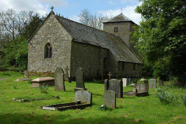
St Michael's Church, Llanvihangel Gobion

The Church of St Michael, Llanvihangel Gobion, Monmouthshire is a parish church with datable origins to the 15th century. There is no record of a Victorian...

Llanvihangel Gobion

Llanfihangel Gobion (Welsh: Llanfihangel-y-gofion) is a village and rural parish of Monmouthshire, Wales, lying within the administrative community of...

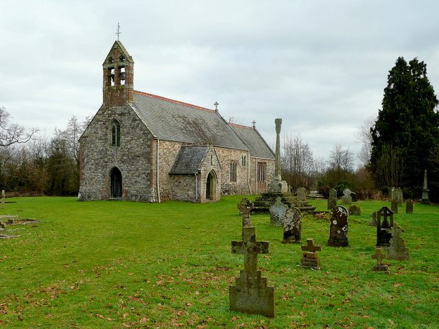
Church of St Mary the Virgin, Llanfair Kilgeddin

St Mary the Virgin is the former parish church for Llanfair Kilgeddin, near Usk in Monmouthshire, south east Wales. It is a Grade I listed building, notable...

Nearby Amenities

Located within 500m of 51.771931,-2.948246
Barrier: stile
Source: survey;gps
Lat/Long: 51.7754013/-2.9462886
Barrier: kissing_gate
Source: survey;gps
Lat/Long: 51.7752419/-2.9474122
Community Centre
Llanfair Kilgeddin Village Hall
Addr City: Abergavenny
Addr Postcode: NP7 9BD
Addr Suburb: Llanfair Kilgeddin
Community Centre: village_hall
Operator: Village Halls Abergavenny
Operator Type: community
Phone: +44 7799 678 792
Website: https://villagehallsabergavenny.org.uk/llanfair-kilgeddin-village-hall/
Lat/Long: 51.7710817/-2.9445272
Cinema
Addr City: Abergavenny
Email: richard.fry@btinternet.com
Phone: +44 1873 840 218
Website: https://www.moviola.org/venues/llanfair-kilgeddin/
Lat/Long: 51.7710307/-2.9445042
The data included in this document is from www.openstreetmap.org. The data is made available under ODbL.

Have you been to Pant-y-Goytre?

Leave your review of Pant-y-Goytre below (or comments, questions and feedback).