Trehopcyn
Settlement in Glamorgan
Wales
Trehopcyn
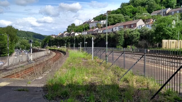
Trehopcyn is a small village located in the county of Glamorgan, Wales. Situated in the southern part of the country, it lies approximately 12 miles northwest of the city of Cardiff. The village is nestled amidst picturesque rolling hills and provides a tranquil and serene environment for its residents.
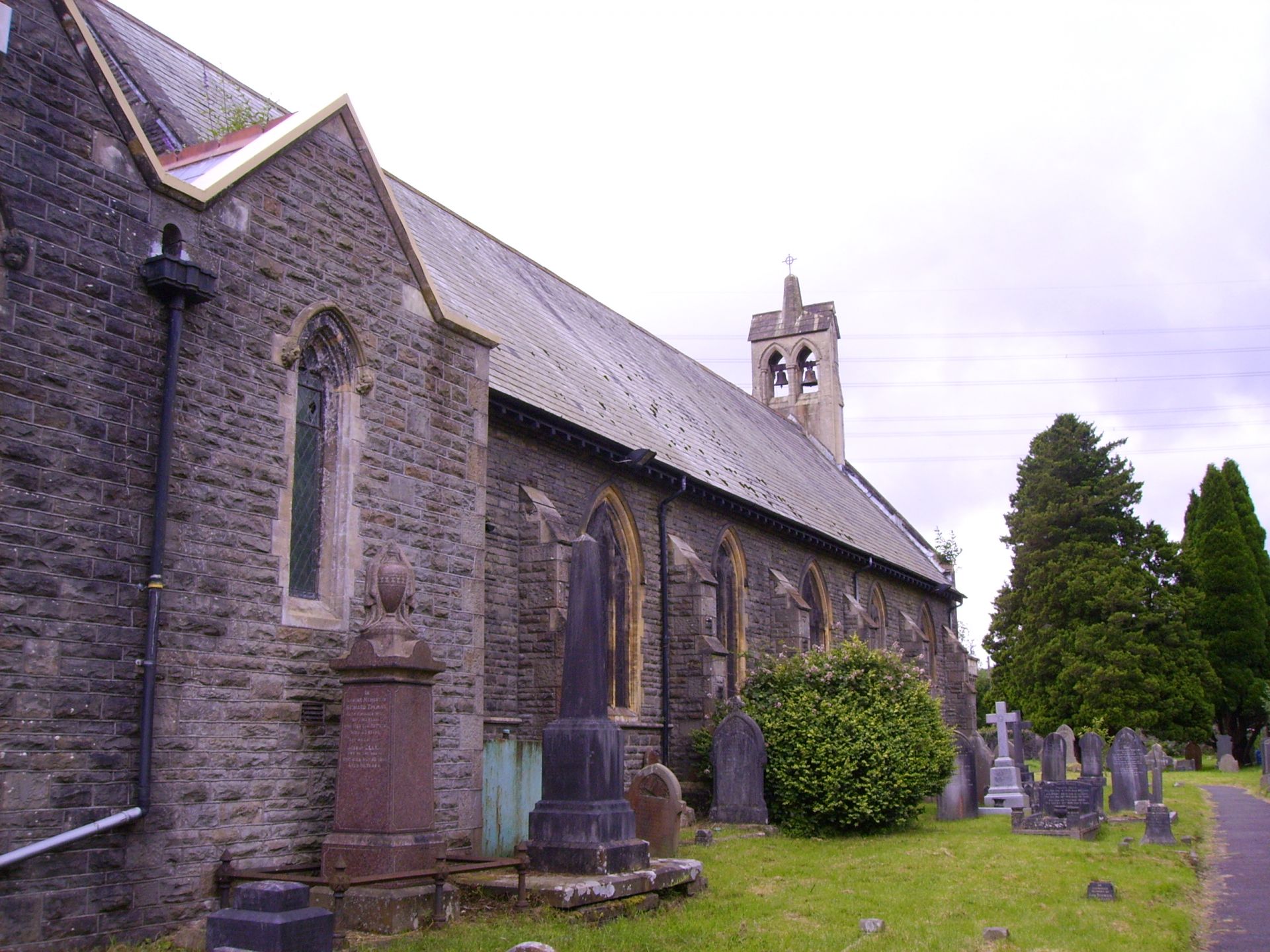
The history of Trehopcyn dates back several centuries, with evidence of human settlement in the area as far back as the medieval period. The village retains its traditional charm, with a mix of old stone cottages and newer houses, giving it a unique character.
Despite its small size, Trehopcyn boasts a close-knit community that takes immense pride in its village. The residents actively participate in local events and initiatives, fostering a strong sense of camaraderie. A village hall serves as a central gathering point for social gatherings and community activities.
The surrounding countryside offers stunning natural beauty, making Trehopcyn an ideal location for outdoor enthusiasts. There are numerous walking trails and cycling routes that allow residents and visitors to explore the breathtaking landscapes. Additionally, the village is within close proximity to several nature reserves and parks, providing ample opportunities for wildlife observation.
Trehopcyn benefits from easy access to nearby amenities and services. The vibrant city of Cardiff is a short drive away, offering a wide range of cultural, recreational, and shopping opportunities. The village is also well-connected by road and public transportation, ensuring convenient travel to other parts of Glamorgan and beyond.
In summary, Trehopcyn is a charming and idyllic village in Glamorgan, Wales, with a rich history and a strong sense of community. Its picturesque surroundings and proximity to amenities make it an attractive place to live or visit for those seeking a peaceful retreat.
If you have any feedback on the listing, please let us know in the comments section below.
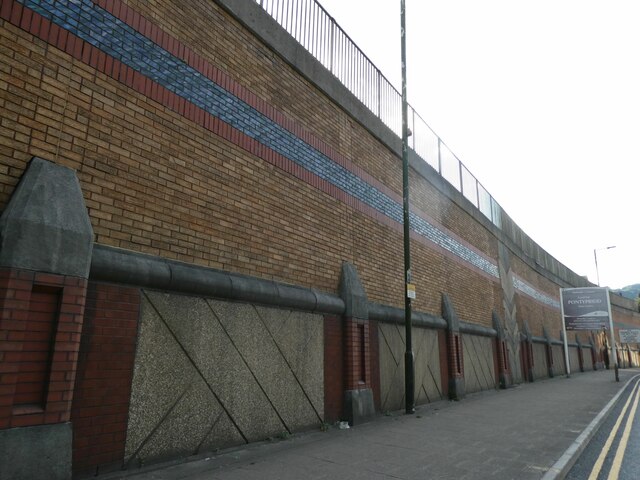
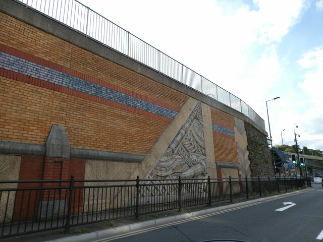
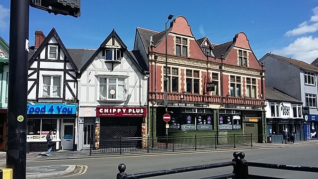
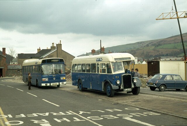
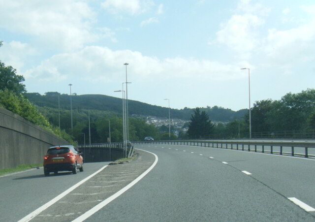
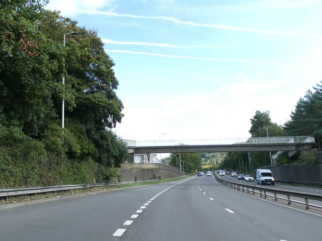
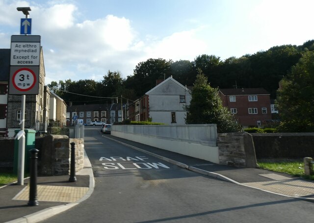
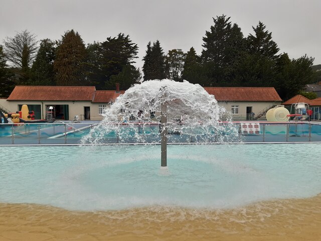
Trehopcyn Images
Images are sourced within 2km of 51.606334/-3.357365 or Grid Reference ST0690. Thanks to Geograph Open Source API. All images are credited.


Trehopcyn is located at Grid Ref: ST0690 (Lat: 51.606334, Lng: -3.357365)
Unitary Authority: Rhondda Cynon Taf
Police Authority: South Wales
Also known as: Hopkinstown
What 3 Words
///noses.hooked.sock. Near Pontypridd, Rhondda Cynon Taf
Nearby Locations
Related Wikis
Hopkinstown
Hopkinstown (Welsh: Trehopcyn) is a small village to the west of Pontypridd in the county borough of Rhondda Cynon Taf, Wales, alongside the River Rhondda...

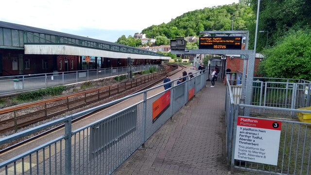
Gyfeillon Platform railway station
Gyfeillon Platform railway station, also known as Gyfeillon Halt railway station, co-served the town of Pontypridd, in the historical county of Glamorganshire...
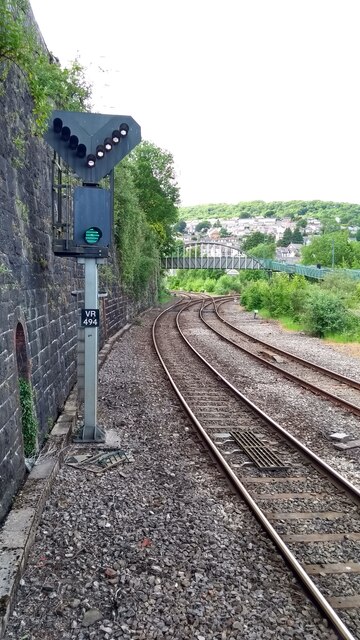
Pontypridd railway accident
On Monday 23 January 1911, a collision between a passenger train and a coal train on the Taff Vale Railway line at Hopkinstown, outside Pontypridd in Wales...

Pwllgwaun
Pwllgwaun (or Pwll-Gwaun) is a village and small suburb of Pontypridd within the 'Rhondda' electoral ward, bordered by Hopkinstown and Graigwen hill to...
Nearby Amenities
Located within 500m of 51.606334,-3.357365Have you been to Trehopcyn?
Leave your review of Trehopcyn below (or comments, questions and feedback).